Home > StateDocs > sos > ARCHIVES > ARC_IMG > ARC_MAPS > PLANBOOK_MAPS > PLANBOOK_2
Follow
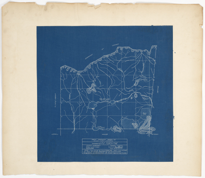
Page 7 of 8
Advanced Search


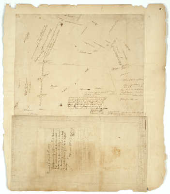
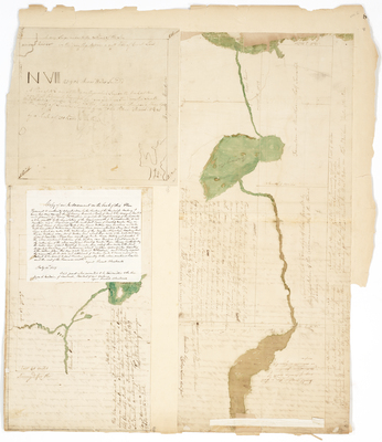
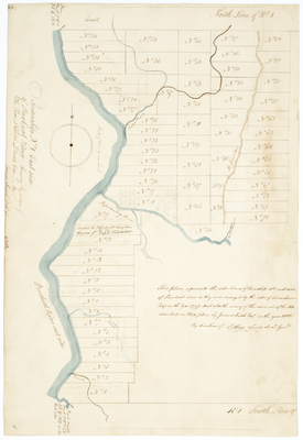
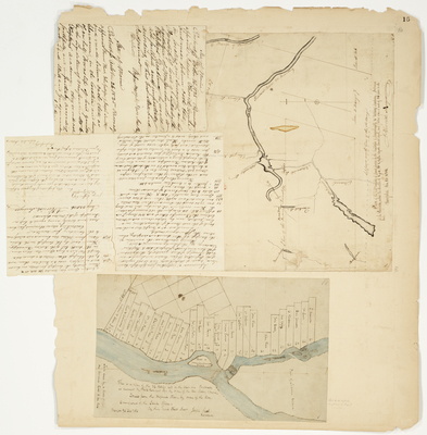
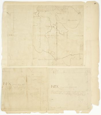
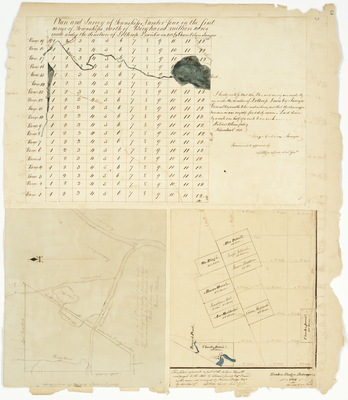
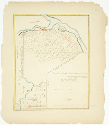
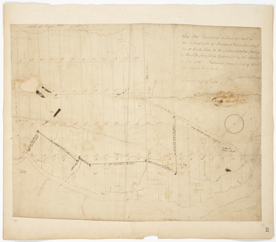
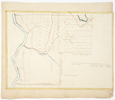
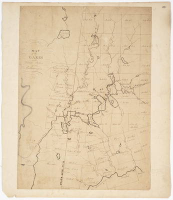
; Plan of 100 acres of land in Chesterville (1806) by Samuel Cony, George W. Wells, John Webber, Reuben Dodge, and Solomon Adam")

")
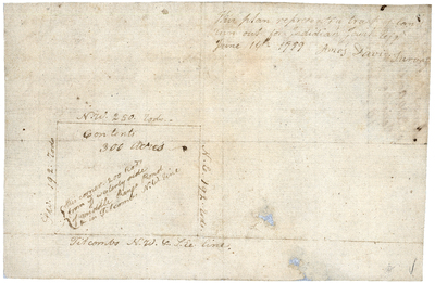
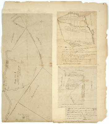
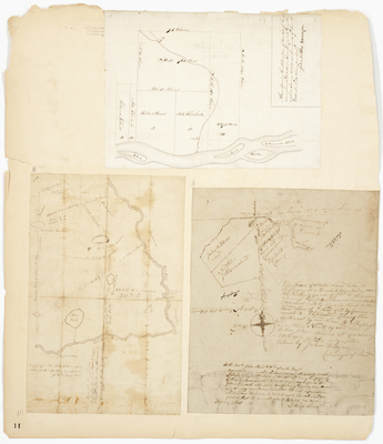
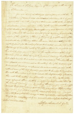
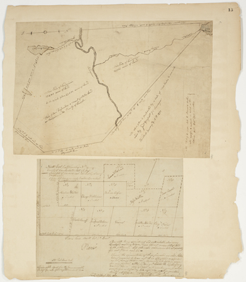
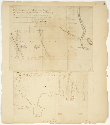
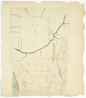
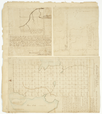
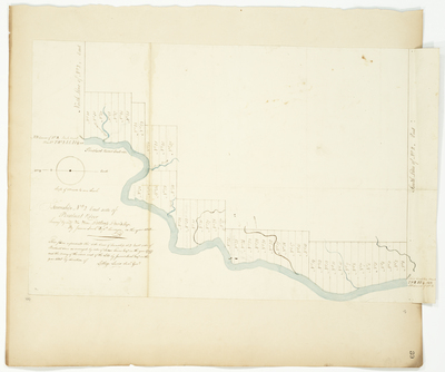
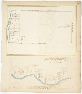
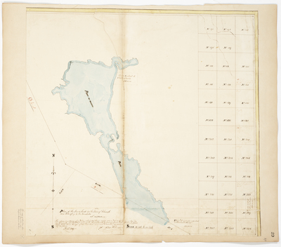
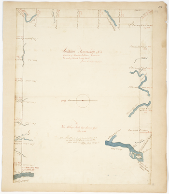
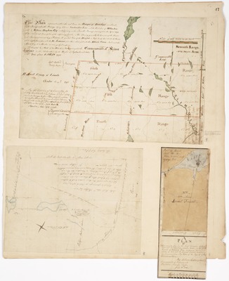
; A Return of a Tract of land laid out at Cold River for John Bradley, Esq. and Mr. Jonathan Eastman (1793) by Ephraim Ballard, Lemuel Perham, Benjamin Marshall, and Vere Royse")

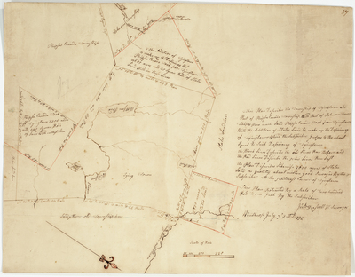
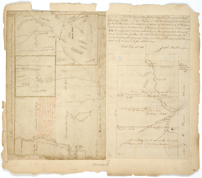
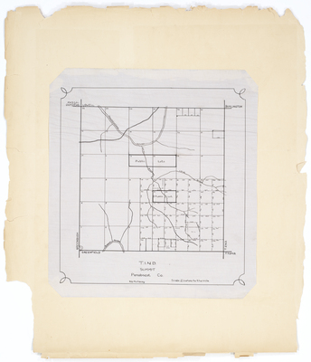
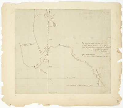
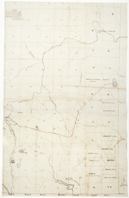
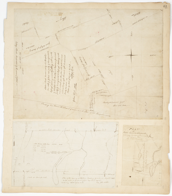
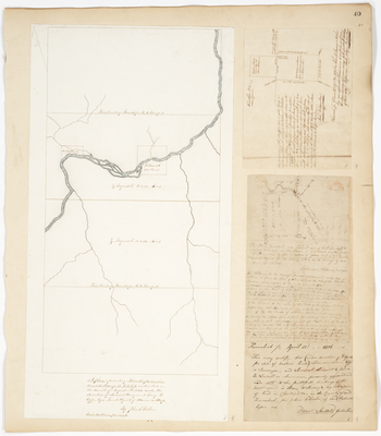
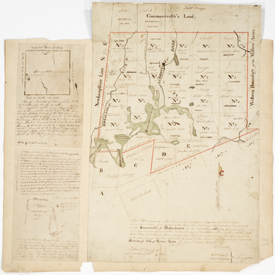
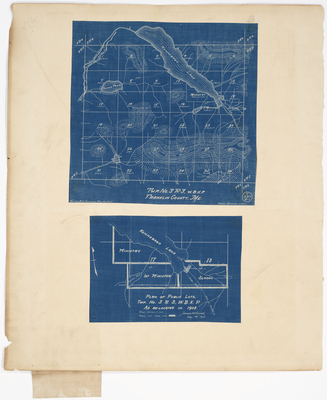
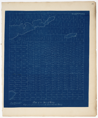
 by Lothrop Lewis and James Irish")