Home > StateDocs > sos > ARCHIVES > ARC_IMG > ARC_MAPS > PLANBOOK_MAPS > PLANBOOK_2
Follow
Page 5 of 8
Advanced Search


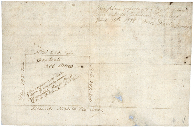
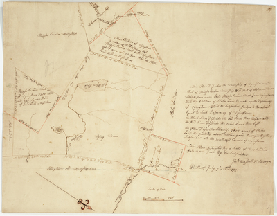
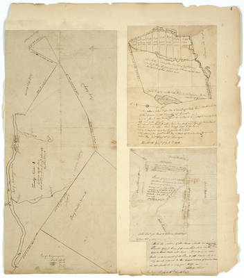
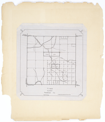
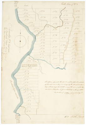
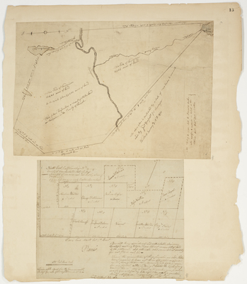
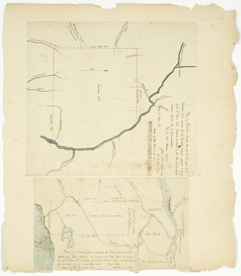
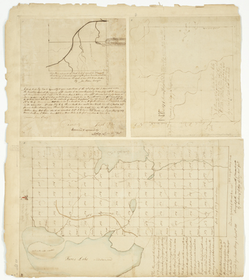
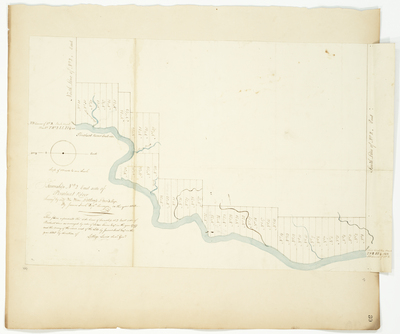
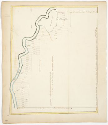
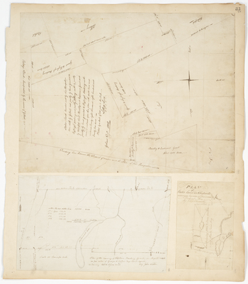
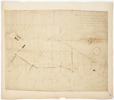
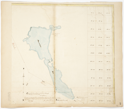
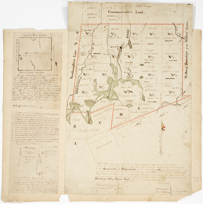
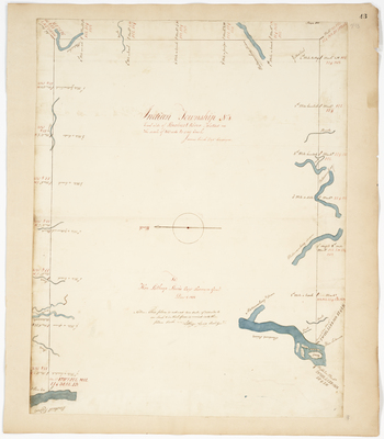
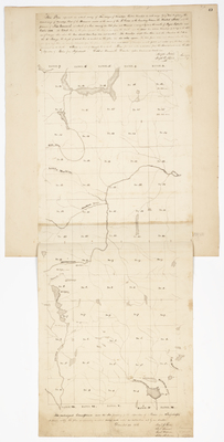
; Plan of Township 11 to the East of the Union River (1786); Plan of half Township 1 north and adjoining the Lottery Lands and on the new road toward the Eastern boundary of the District of Maine (1818) by Joseph Patten, John Peters, Andrew Strong, and Alexander Greenwood")
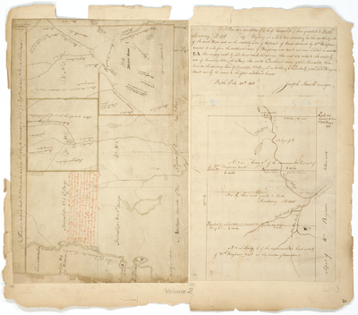
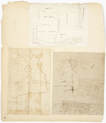
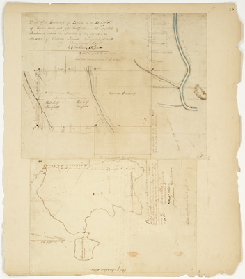
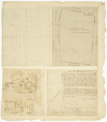
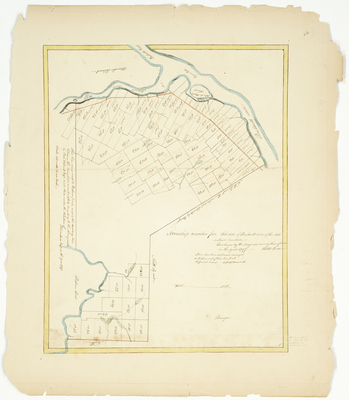
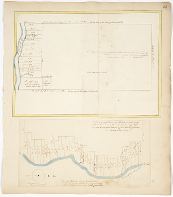
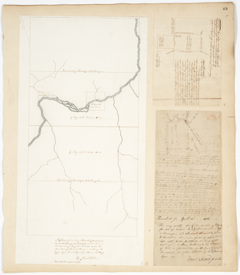
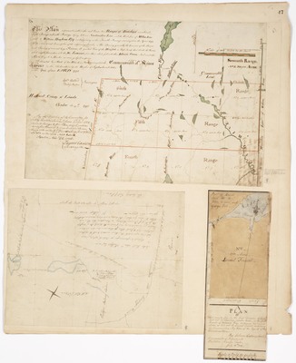
; A Plan of the half Township of Land, located for the benefit of Bridgeton Academy (1812) by Eleazer Coburn, Lothrop Lewis, Reuben Dodge, and Roland Holden")
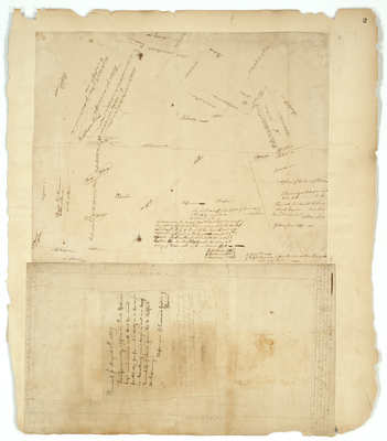
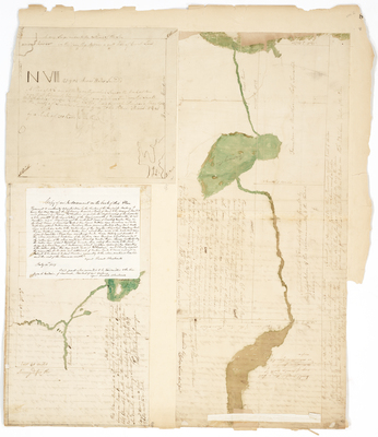
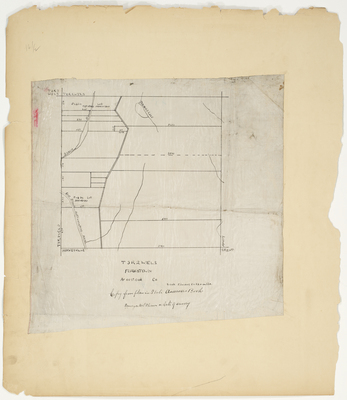
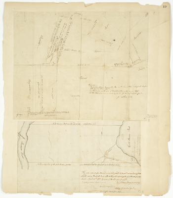
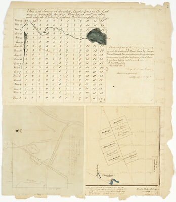
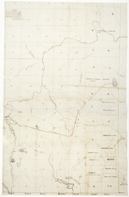
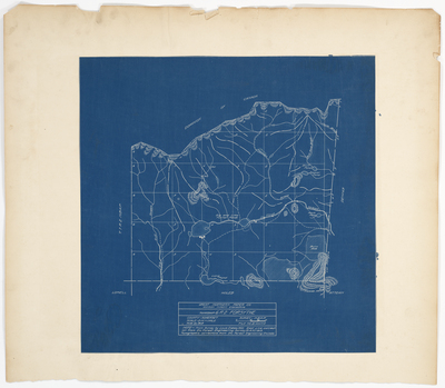
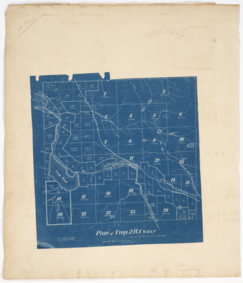
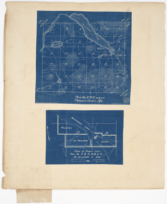
; Plan of Hopkins Academy Grant as resurveyed in August 1848 by John Webber by Lothrop Lewis and John Webber")

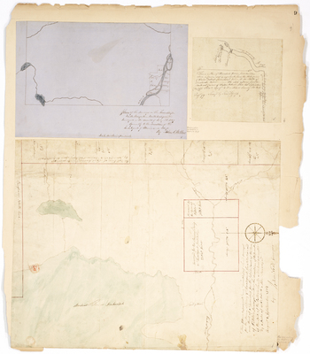
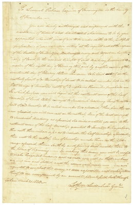
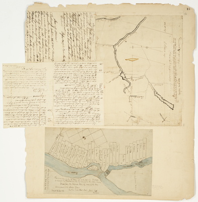
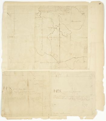
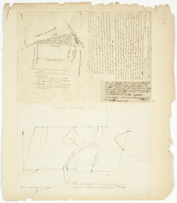
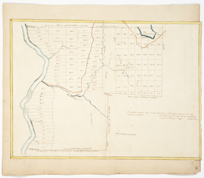
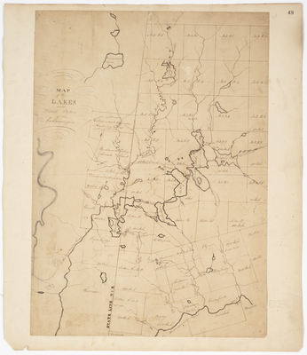
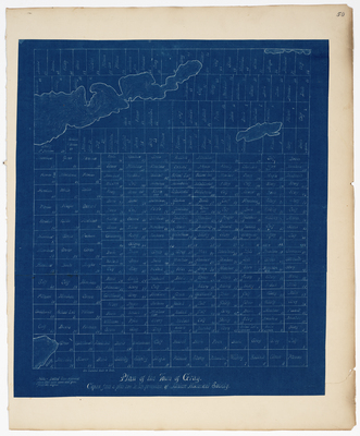
 by Salem Town and Park Holland")
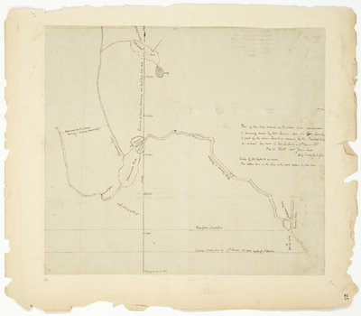
 by John Neal")

")