Home > StateDocs > sos > ARCHIVES > ARC_IMG > ARC_MAPS > PLANBOOK_MAPS > PLANBOOK_2
Follow
Page 8 of 8
Advanced Search


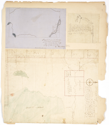
. by Charles Turner")
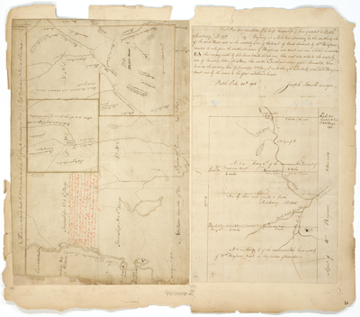
, 1906 by E. P. Viles")


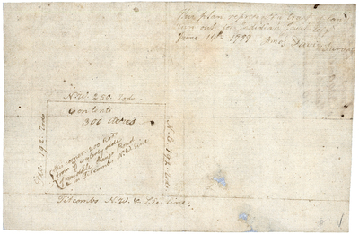
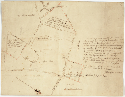
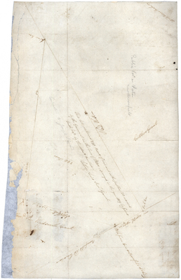
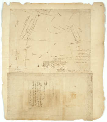
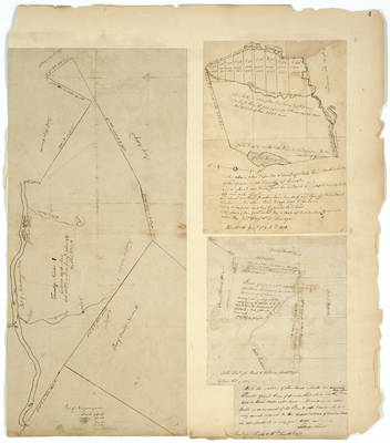
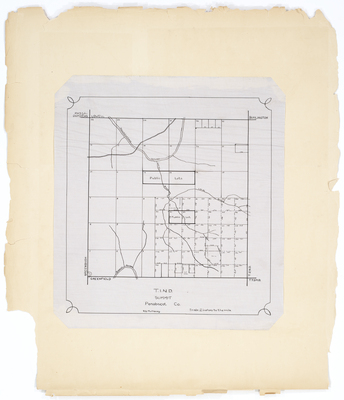
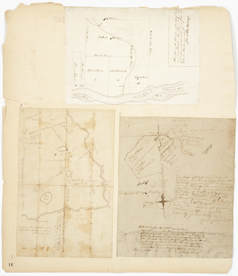
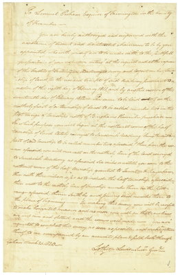
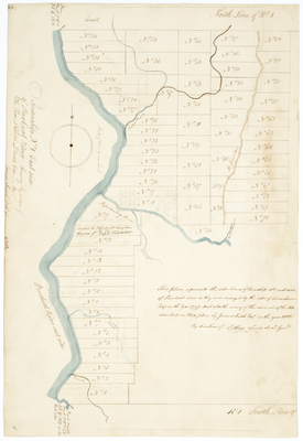
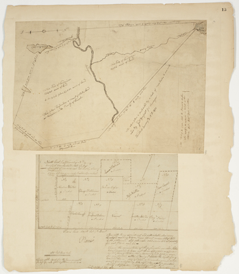
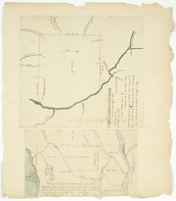
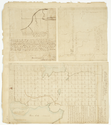
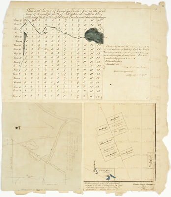
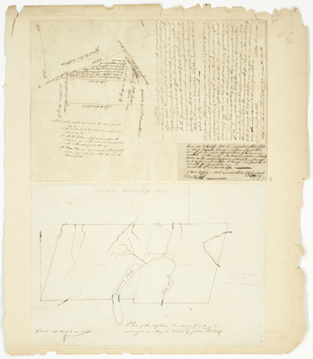
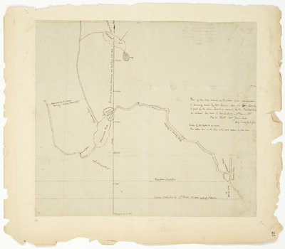
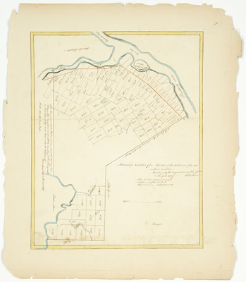
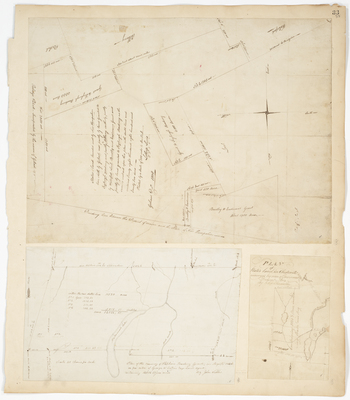
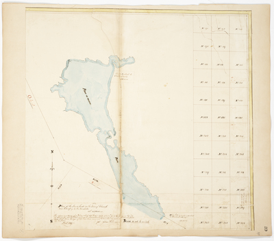
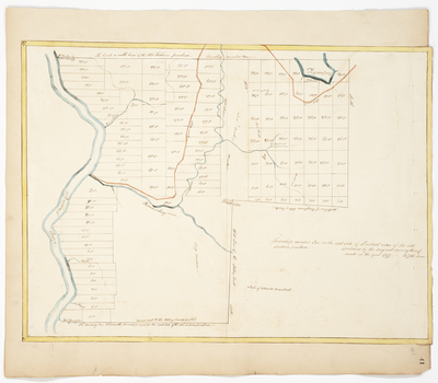
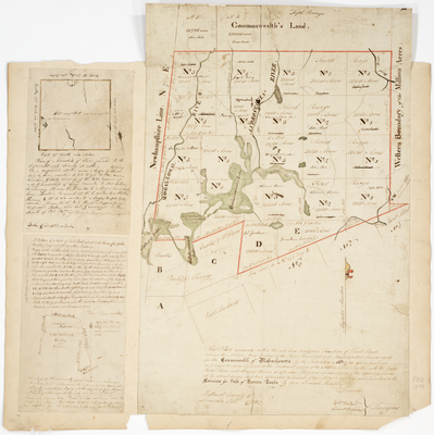
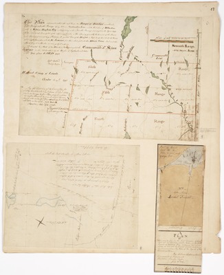
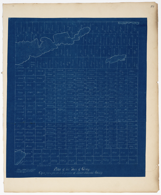
![Page 47. This Plan represents within the red lines, two Ranges of Townships numbered Fifth and Sixth Range lying between Newhamshire Line [New Hampshire] and the West line of Million Acres sold to William Bingham Esq. and adjoining on the Fourth Range surveyed in the Year 1794; A Plan of Lot 5 in the first Division of Land laid out in Township 12 on the south branch of Cobscook Bay, containing 200 Acres as laid out to Samuel Trescott, including his improvements, by order of the Agents of this Commonwealth (1804); Plan of the Dummer Academy Grant (1799) by Ephraim Ballard, Philip Bullen, Lothrop Lewis, Samuel Cushing, and Osgood Carleton](https://digitalmaine.com/planbook_2/1060/thumbnail.jpg "Page 47. This Plan represents within the red lines, two Ranges of Townships numbered Fifth and Sixth Range lying between Newhamshire Line [New Hampshire] and the West line of Million Acres sold to William Bingham Esq. and adjoining on the Fourth Range surveyed in the Year 1794; A Plan of Lot 5 in the first Division of Land laid out in Township 12 on the south branch of Cobscook Bay, containing 200 Acres as laid out to Samuel Trescott, including his improvements, by order of the Agents of this Commonwealth (1804); Plan of the Dummer Academy Grant (1799) by Ephraim Ballard, Philip Bullen, Lothrop Lewis, Samuel Cushing, and Osgood Carleton")

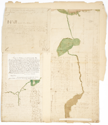
 by Joseph Norris")
