Home > StateDocs > sos > ARCHIVES > ARC_IMG > ARC_MAPS > PLANBOOK_MAPS > PLANBOOK_2
Follow
Page 4 of 8
Advanced Search


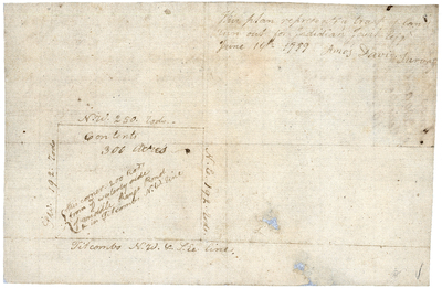
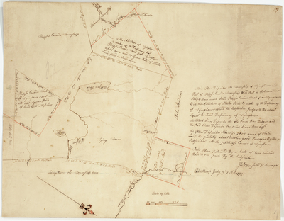
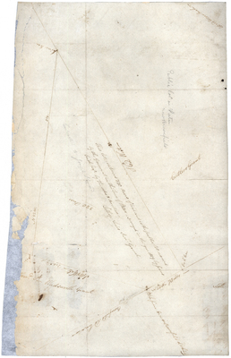
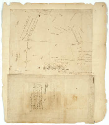
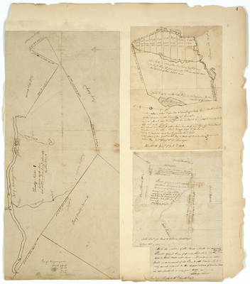
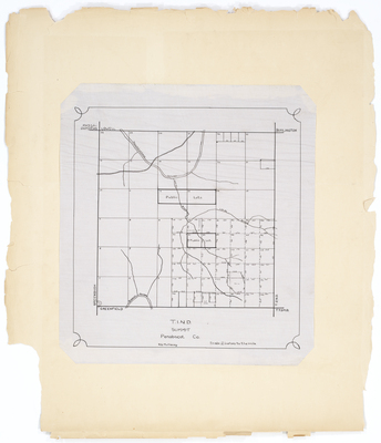
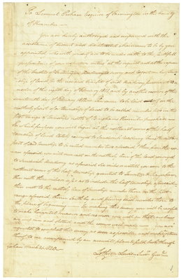
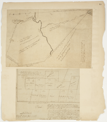
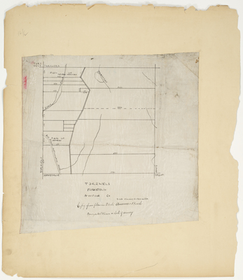
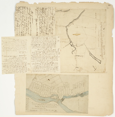
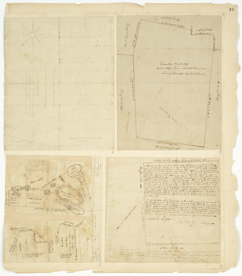
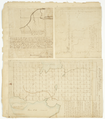
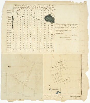
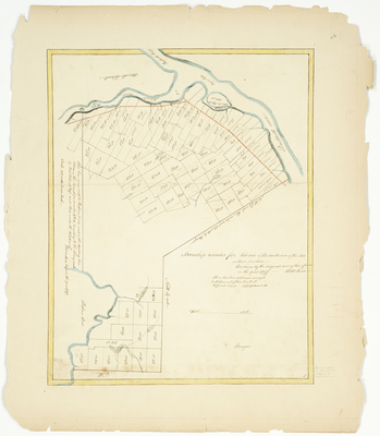
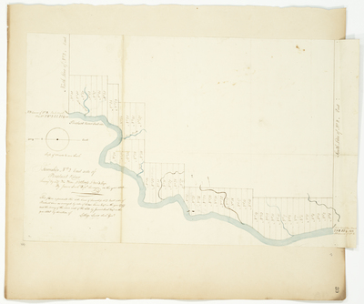
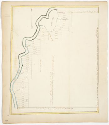
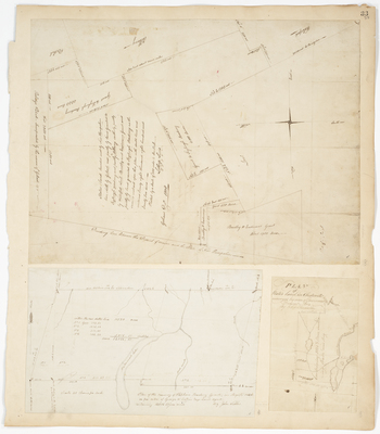
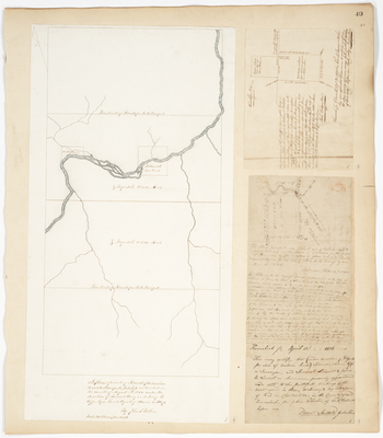
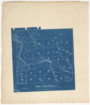
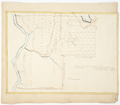
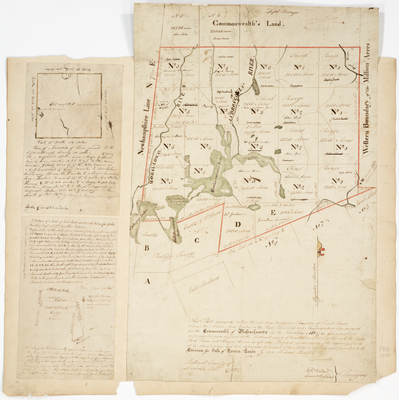
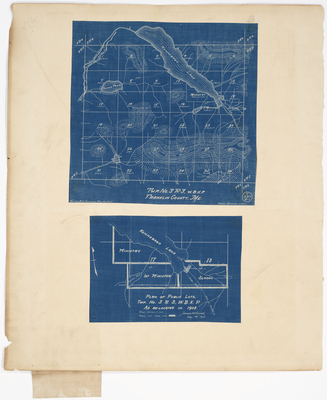
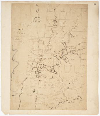
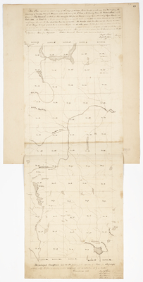
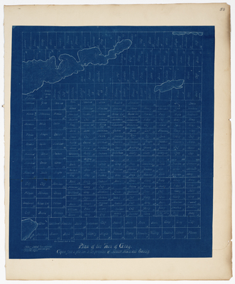
; Tracts of land near Lovell (1794); Tract of land in East Andover laid out for Bemjamin Ames (1792); Plan of Township 4 (1788) by Samuel Titcomb, David Purington, Vere Royse, and John Peabody")


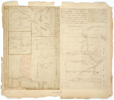
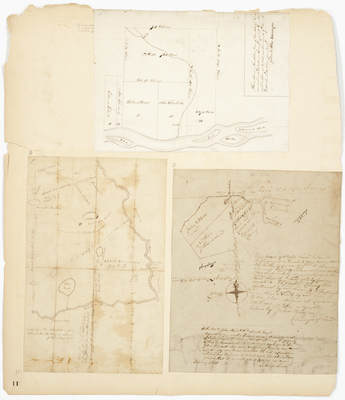
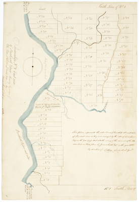
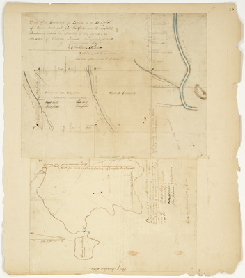
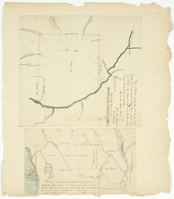
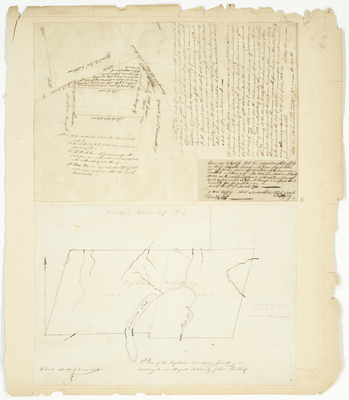
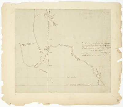
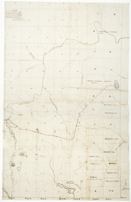
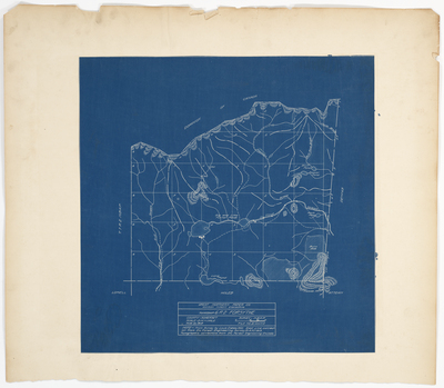
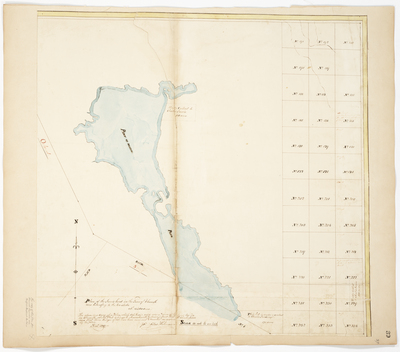
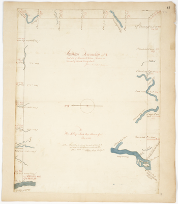
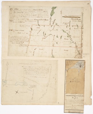
; Plan of Township 9 near Union River in Lincoln County (1786) by Samuel Jones, George W. Coffin, and John Peters")

