Home > StateDocs > sos > ARCHIVES > ARC_IMG > ARC_MAPS > PLANBOOK_MAPS > PLANBOOK_2
Follow
Page 2 of 8
Advanced Search


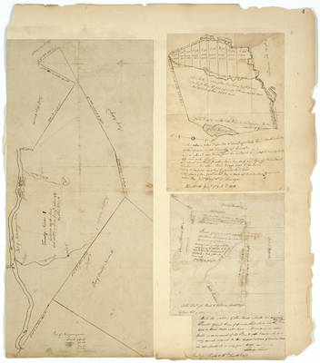
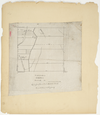
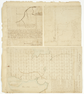
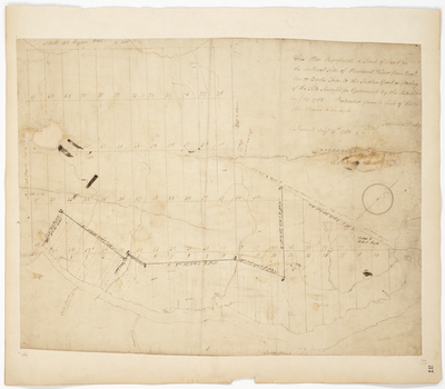
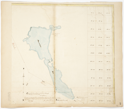
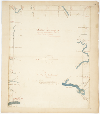
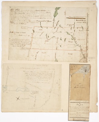
; A Plan of the first Division of Land laid out in Township number 12 on Cobscook South Branch (1804). by Dominicus Parker and Solomon Cushing")
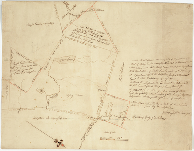
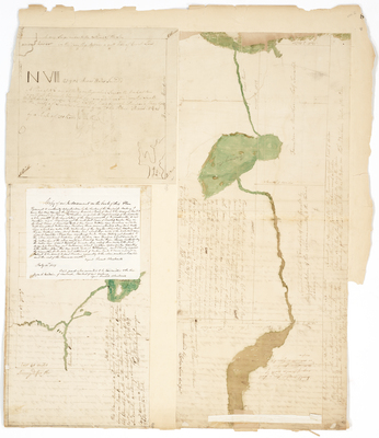
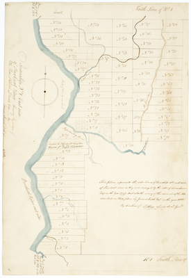
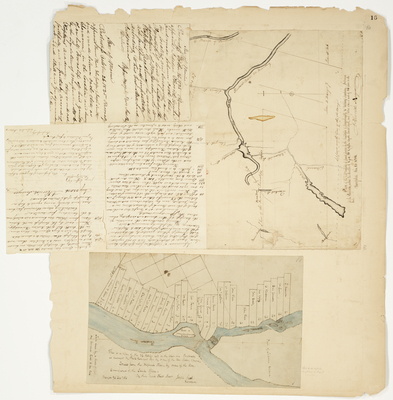
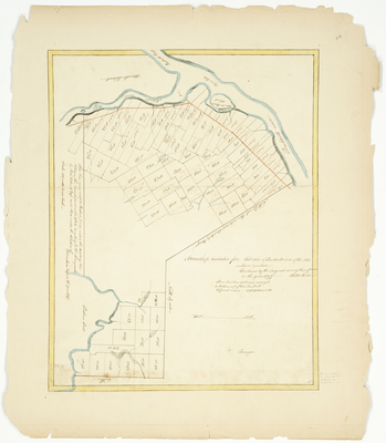
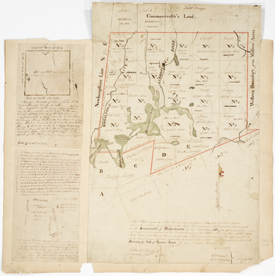
; Plan of a tract of land granted to Timothy Cutler on the south side of the Saco River and northwest of the Ossipee River. by Andrew Strong, Lothrop Lewis, and Bracey Banks")

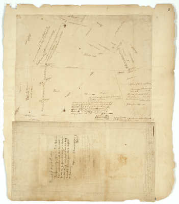
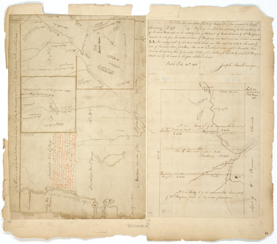
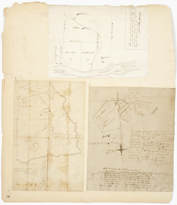
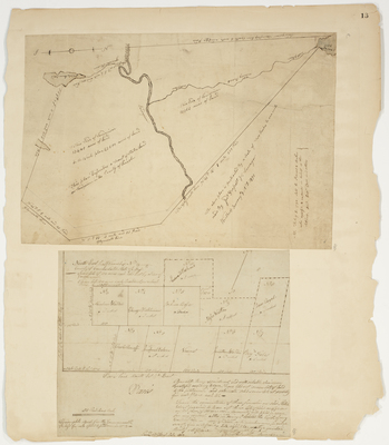
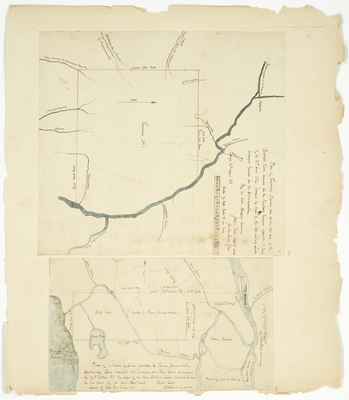
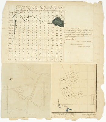
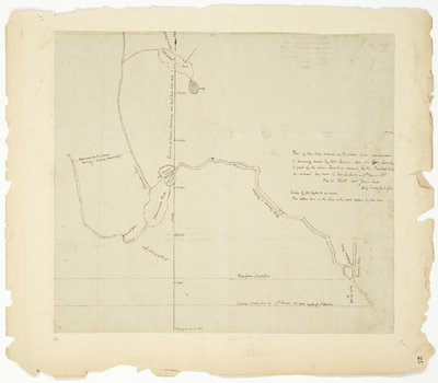
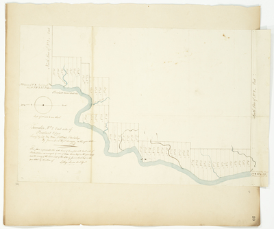
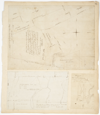
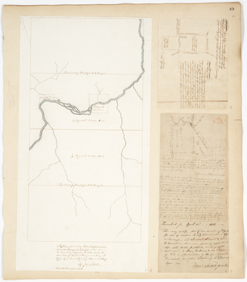
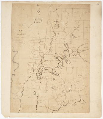
; Plan of Kennebeck River from the place where a course west 3 degrees South from the N.W. corner of Waldo's Patent...to the mouth of the Sebasticook River (1787); Survey of the Town of Pittston (1814) by John Webber, Samuel Titcomb, and John Neal")
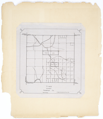
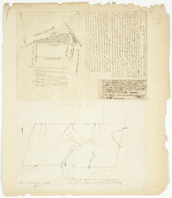
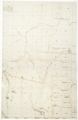
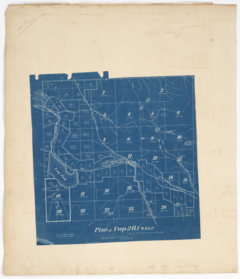
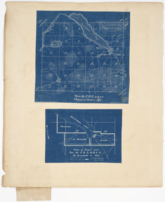
, Penobscot County by R. E. Mullaney")
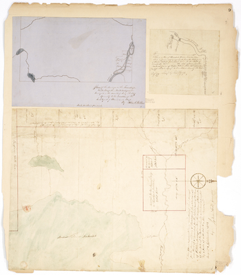
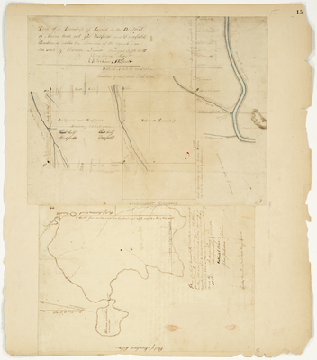
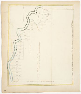
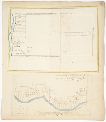
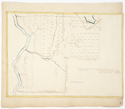
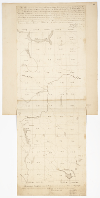
; Plan of Kennebec River (1796); Plan of Russ's Land adjacent to Lee's Grant (1788) by Lothrop Lewis, Ephraim Ballard, and Samuel Titcomb")
 by H. A. Folsom")
