Home > StateDocs > sos > ARCHIVES > ARC_IMG > ARC_MAPS > PLANBOOK_MAPS > PLANBOOK_2
Follow
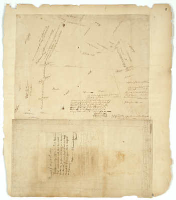
Page 3 of 8
Advanced Search


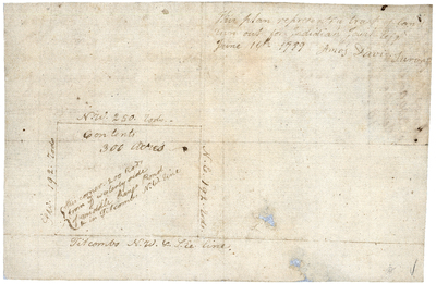
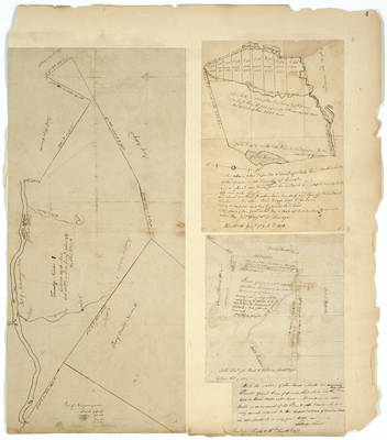
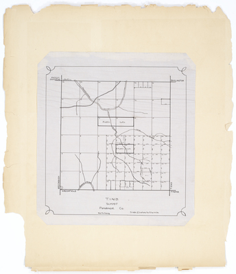
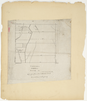
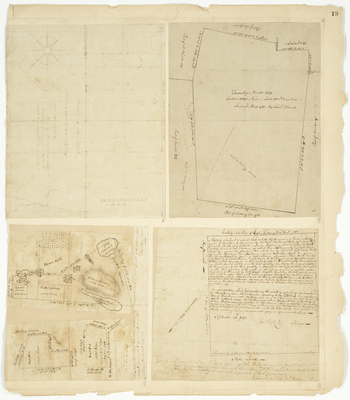
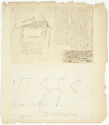
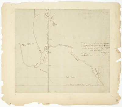
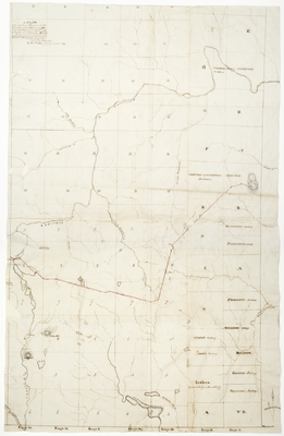
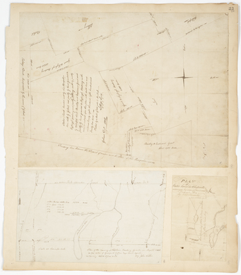
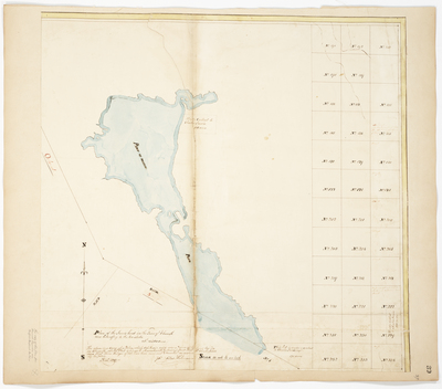
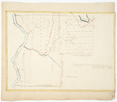
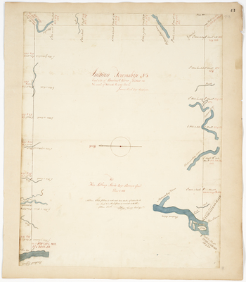
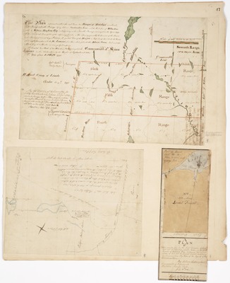
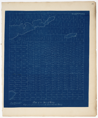
; Plan of Township 5 (1788); Plan of 400 acres of land granted to Hampden Academy (1820) by Alexander Greenwood, Samuel Titcomb, and Jedediah Prescott")
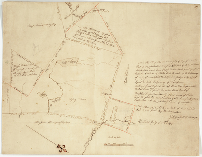
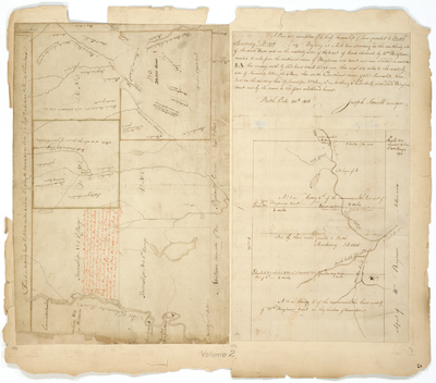
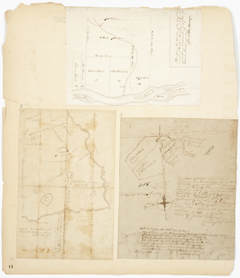
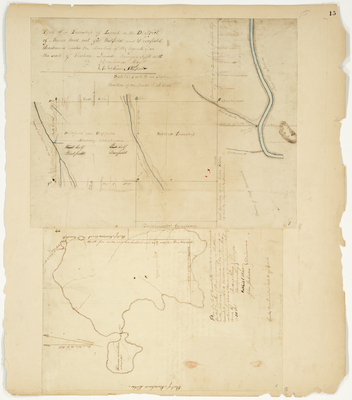
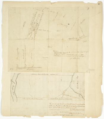
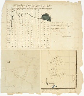
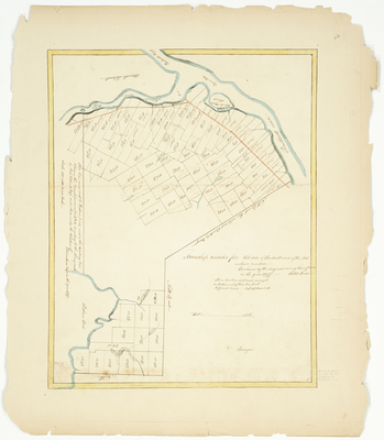
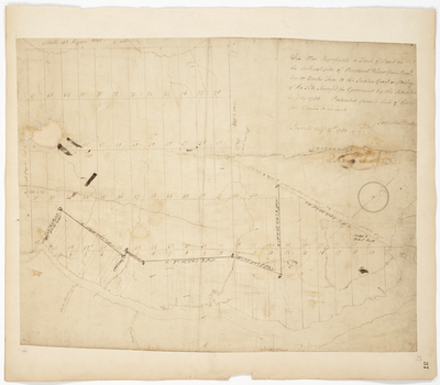
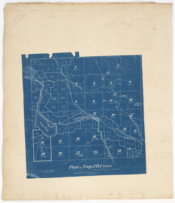
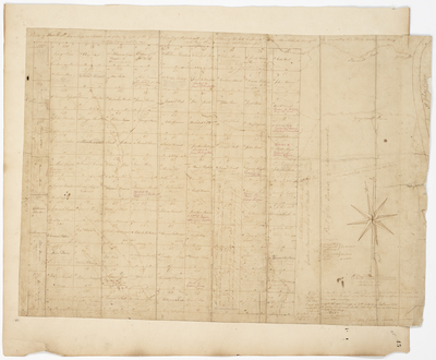
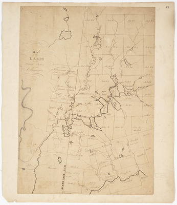
; Plan of a half township located and surveyed for the Trustees of Day's Academy (1816) by Andrew Strong and Ephraim Hoyt")

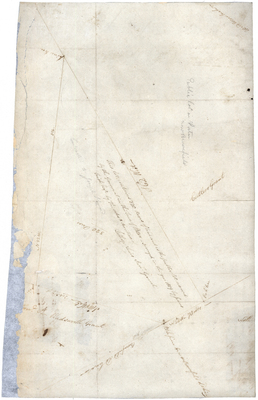
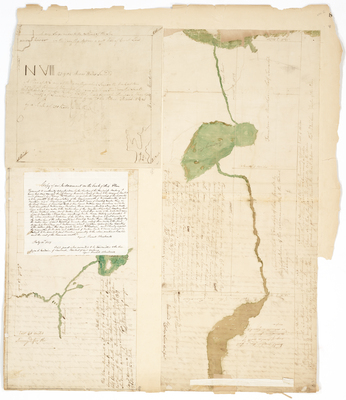
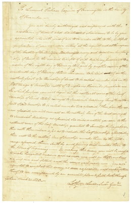
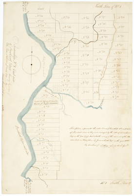
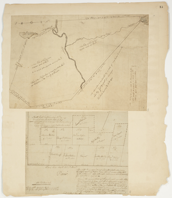
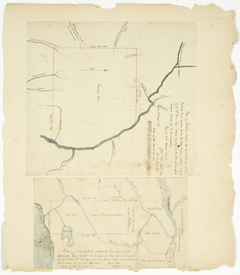
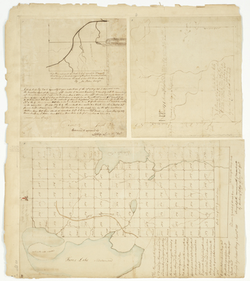
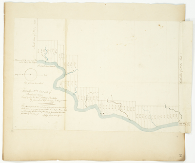
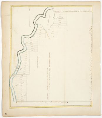
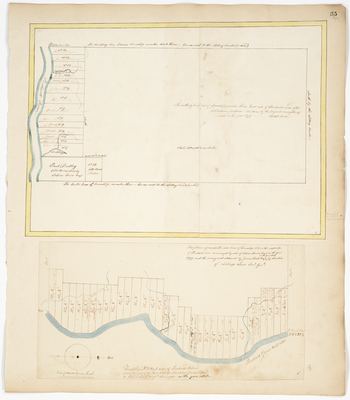
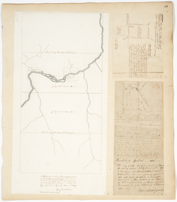
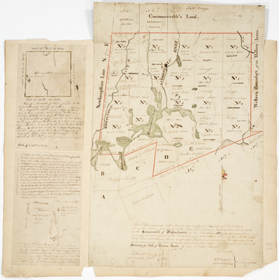
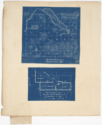
; Plan of 32 settlers lots on the west side of Penobscot River (1814) by Park Holland and J. Herrick")