Home > StateDocs > sos > ARCHIVES > ARC_IMG > ARC_MAPS > PLANBOOK_MAPS > PLANBOOK_2
Follow
Page 6 of 8
Advanced Search


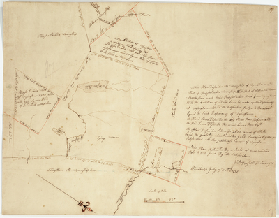
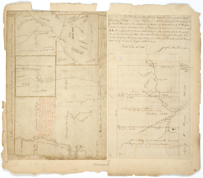
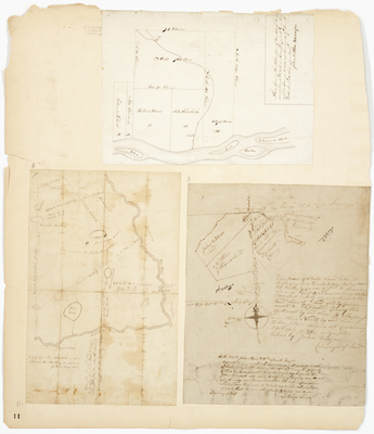
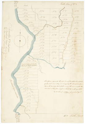
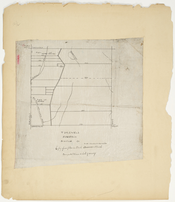
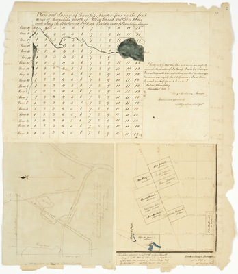
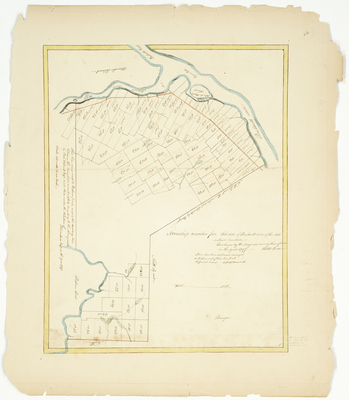
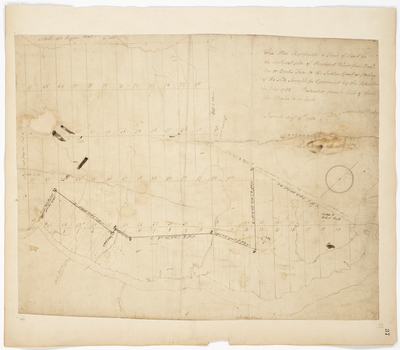
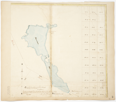
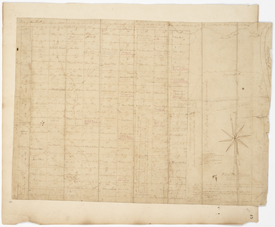
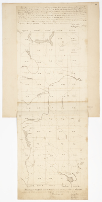
; Survey of Township 4 on the west side of Penobscot River (1797) by Park Holland")
")
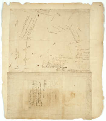
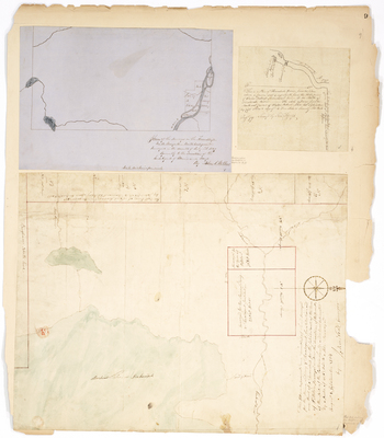
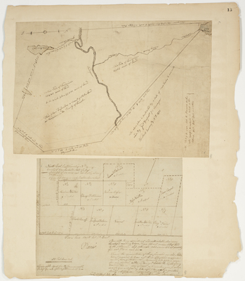
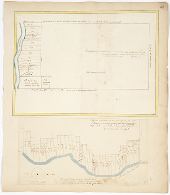
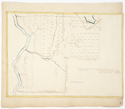
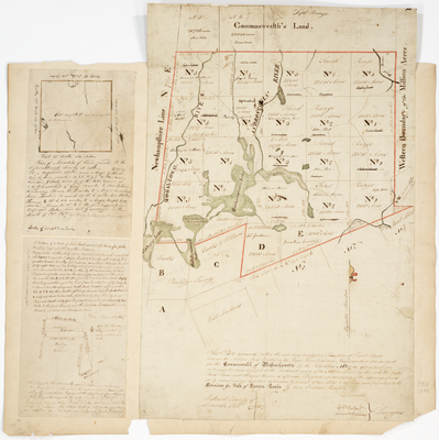
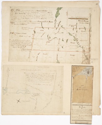
![Page 33. Plan of State's Land bounded west by New Hampshire line, north by Gilead, east partly by land granted to Fryburg Academy, and partly by Albany[...] (1808); Plan of the new survey of Hopkins Academy Grant in August 1848; Plan of State's Land in Chesterville (1804) by Lothrop Lewis, John Webber, George W. Coffin, and John Chandler](https://digitalmaine.com/planbook_2/1043/thumbnail.jpg "Page 33. Plan of State's Land bounded west by New Hampshire line, north by Gilead, east partly by land granted to Fryburg Academy, and partly by Albany[...] (1808); Plan of the new survey of Hopkins Academy Grant in August 1848; Plan of State's Land in Chesterville (1804) by Lothrop Lewis, John Webber, George W. Coffin, and John Chandler")
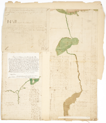
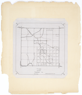
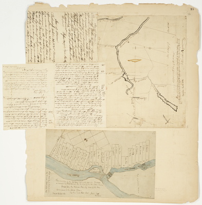
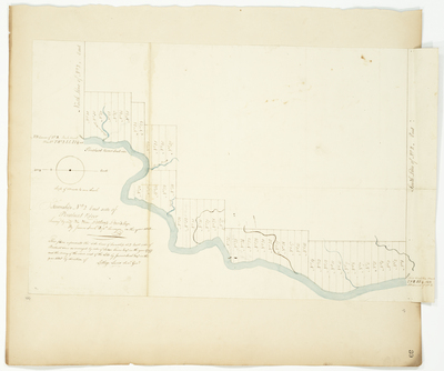
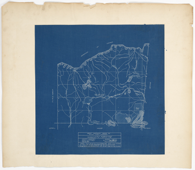
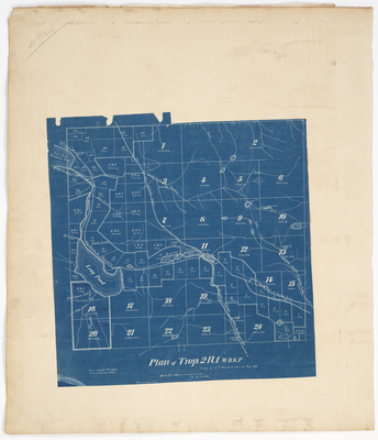
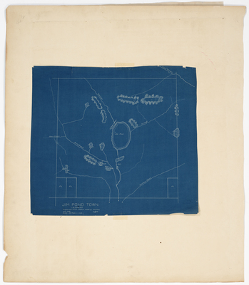
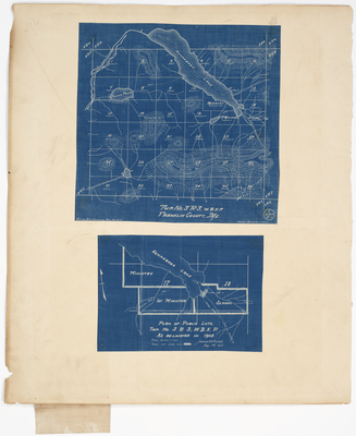
, 1915 by Louis Oakes and Great Northern Paper Company Division Forest Engineering")
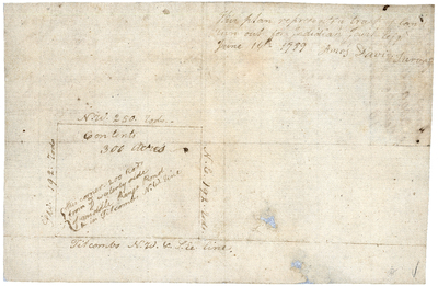
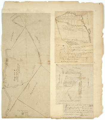
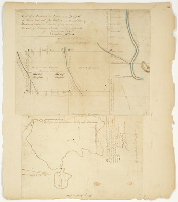
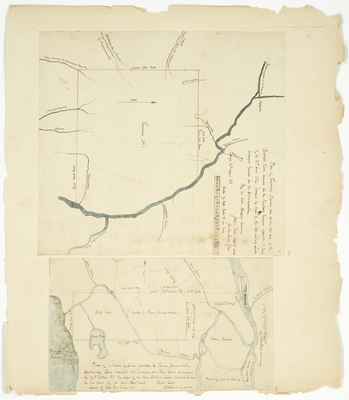
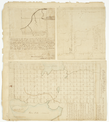
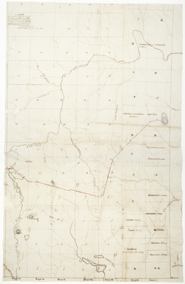
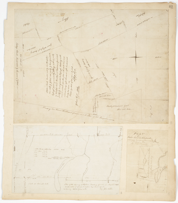
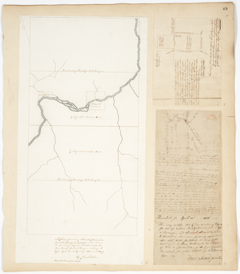
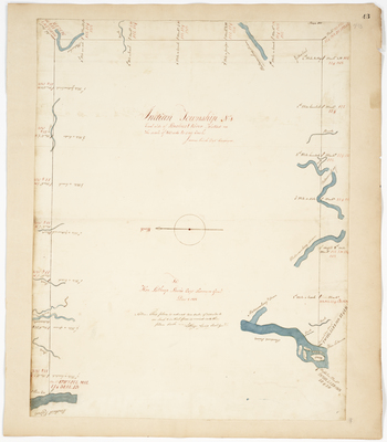
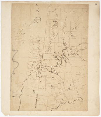
; Plan of the side lines of Township 1 on the west side of Penobscot River (1797) by Salem Town, Lothrop Lewis, and James Irish")

