

Preview
Document Type
StillImage
Contributing Institution
Maine State Archives
Identifier
208234
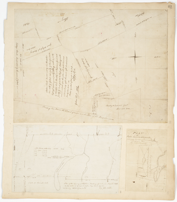
Description
Plan of State's Land bounded west by New Hampshire line, north by Gilead, east partly by land granted to Fryburg Academy, and partly by Albany[...] (1808)
Plan of the new survey of Hopkins Academy Grant in August 1848
Plan of State's Land in Chesterville (1804)
Language
English
Location
Franklin County; Chesterville; Penobscot County; Hopkins Academy Grant Twp
Other Location
New Hampshire
Keywords
Cartography; Maps; Maine Land Office; Planbooks; Surveys
Rights Statement
No Copyright - United States. URI: http://rightsstatements.org/vocab/NoC-US/1.0/
The organization that has made the Item available believes that the Item is in the Public Domain under the laws of the United States, but a determination was not made as to its copyright status under the copyright laws of other countries. The Item may not be in the Public Domain under the laws of other countries. Please refer to the organization that has made the Item available for more information.