

Preview
Document Type
StillImage
Contributing Institution
Maine State Archives
Identifier
208228
Description
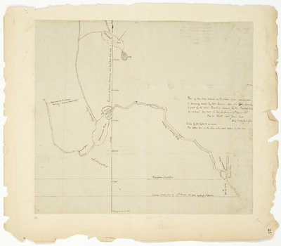
Plan of the West Branch of Penobscot River copied from a drawing made by Colonel [Lothrop] Lewis. Includes the east line of a part of the upper townships reserved for the Penobscot Indians.
Exact Creation Date
8-18-1818
Language
English
Location
Penobscot County
Other Location
Noliseemack Pond; Penobscot River
Keywords
Cartography; Maps; Maine Land Office; Planbooks; Surveys