

Preview
Document Type
StillImage
Contributing Institution
Maine State Archives
Identifier
208234
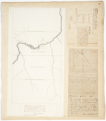
Description
Plan of T14 R11 and T15 R11 WELS on a scale of 40 chains per inch (1850)
Plan of 200 acres of land in Ellsworth (1820)
Plan of 100 acres of land in Chesterville (1806)
Language
English
Location
Aroostook County; T14 R11 WELS; T15 R11 WELS; Hancock County; Ellsworth; Franklin County; Chesterville
Keywords
Cartography; Maps; Maine Land Office; Planbooks; Surveys
Rights Statement
No Copyright - United States. URI: http://rightsstatements.org/vocab/NoC-US/1.0/
The organization that has made the Item available believes that the Item is in the Public Domain under the laws of the United States, but a determination was not made as to its copyright status under the copyright laws of other countries. The Item may not be in the Public Domain under the laws of other countries. Please refer to the organization that has made the Item available for more information.