

-

Plan of Burried Cable, Maple View Terrace, Cumberland, Maine, 1971
New England Telephone
Plan of Burried Cable, Maple View Terrace, Cumberland, Maine was created by New England Telephone in 1971.
-

Plan of Broad Cove Meadows, Cumberland, Maine, 1970
C. R. Storer, Inc.
Plan of Broad Cove Meadows, Cumberland, Maine was created by C. R. Storer, Inc. in 1970.
-

Plan of Bruce Hill Pines, Bruce Hill Road, Cumberland, Maine, 1970
C.R. Storer, Inc.
Plan of Bruce Hill Pines, Bruce Hill Road, Cumberland, Maine was created by C.R. Storer, Inc. in 1970. Scale 1"=100'.
-

Plan of Woodland Development, Cumberland, Maine, 1970
Gray Engineering Inc.
Plan of Woodland Development, Cumberland, Maine was created by Gray Engineering Inc. in 1970. Includes plans from 1966 and 1968.
-

Plan of Buried Cable, Brookside Drive, Cumberland, Maine, 1970
New England Telephone
Plan of Buried Cable, Brookside Drive, Cumberland, Maine was created by New England Telephone in 1970.
-
, Cumberland, Maine, 1969 by Robert G. Blanchard")
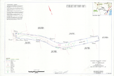
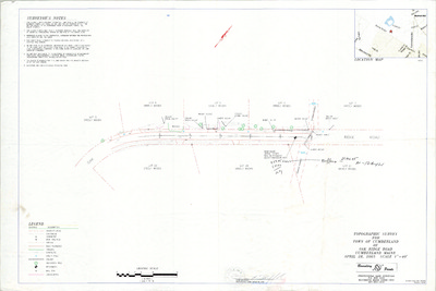
Property Line Map, Wilson Mill Bridge, Skillings Road (State Aid Hwy. 4), Cumberland, Maine, 1969
Robert G. Blanchard
Property Line Map, Wilson Mill Bridge, Skillings Road (State Aid Hwy. 4), Cumberland, Maine was created by Robert G. Blanchard in 1969.
-

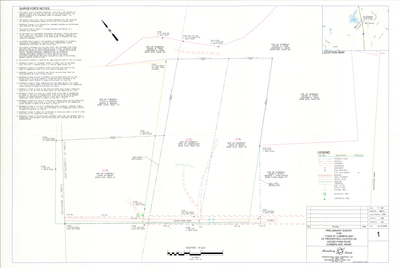
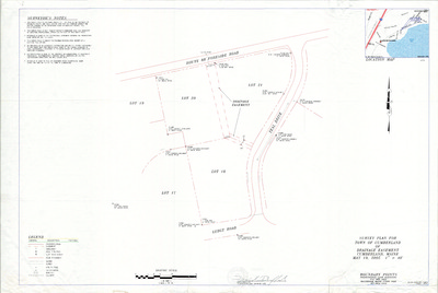
Plan of Stornoway, Foreside Road, Cumberland, Maine, 1969
Edward C. Jordan Co., Inc.
Plan of Stornoway, Foreside Road, Cumberland, Maine was created by Edward C. Jordan Co., Inc. in 1969. Scale 1"=60'.
-

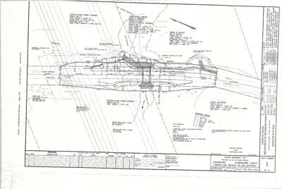
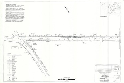
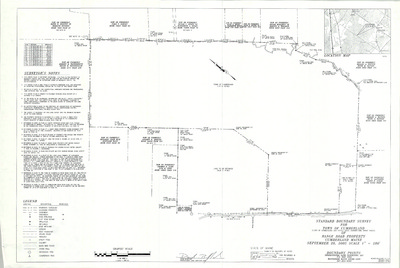
Maine State Highway Commission Right of Way Map, State Highway "95", Cumberland-Yarmouth, Maine, 1969
MaineDepartment of Transportation
Maine State Highway Commission Right of Way Map, State Highway "95", Cumberland-Yarmouth, Maine was created by Maine Dept. of Transportation in 1969.
-

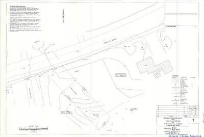
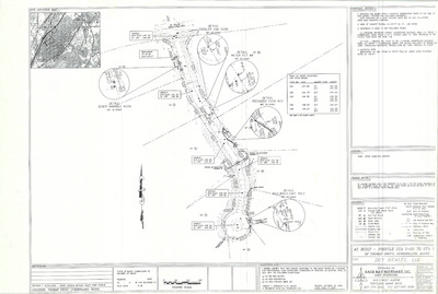
Right of Way Map, Wilson Mill Bridge, Cumberland, Maine, 1969
Maine State Highway Commission
Right of Way Map, Wilson Mill Bridge, Cumberland, Maine was created by the Maine State Highway Commission in 1969.
-

Plan of Buried Cable, Skillin Road, Cumberland, Maine, 1969
New England Telephone
Plan of Buried Cable, Skillin Road, Cumberland, Maine was created by New England Telephone in 1969.
-

New England Telephone & Telegraph Co. Buried Cable, Cumberland, Maine, 1969
New England Telephone & Telegraph Co.
-

Plan of Fairmeadow, Main Street and Hedgerow Drive, Cumberland, Maine, 1968
Joseph E. Solari Company
Plan of Fairmeadow, Main Street and Hedgerow Drive, Cumberland, Maine was created by Joseph E. Solari Company in 1968. Scale 1"=40'.
-

Plan of Land for Pierre Dumaine, Mill Road, Cumberland, Maine, 1968
Owen Haskell, Inc.
Plan of Land for Pierre Dumaine, Mill Road, Cumberland, Maine was created by Owen Haskell, Inc. in 1968. Scale 1"=40'.
-

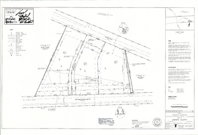
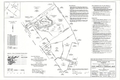
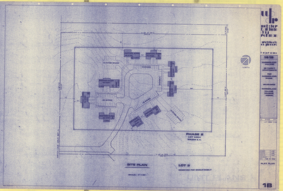
Plan of Maple View Terrace, Route 88 and Carriage Road, Cumberland, Maine, 1967
C. R. Storer, Inc.
Plan of Maple View Terrace, Route 88 and Carriage Road, Cumberland, Maine was created by C. R. Storer, Inc. in 1967.
-

Plans and Profiles of Island View Drive and Ebb Tide Drive, Cumberland, Maine, 1967
C. R. Storer, Inc.
Plan of Island View Drive and Ebb Tide Drive, Cumberland, Maine was created by C. R. Storer, Inc. in 1967.
-

Plan of Broad Cove Meadows, Island View and Ebb Tide Drives, Cumberland, Maine, 1967
C. R. Storer Inc. and Titcomb Associates Inc.
-

Plan of Buried Cable, Blanchard Road and Skillings Road, Cumberland, Maine, 1967
New England Telephone
Plan of Buried Cable, Blanchard Road and Skillings Road, Cumberland, Maine was created by New England Telephone in 1967.
-

Official Map of the Town of Cumberland, Maine, 1967
Wright & Pierce and John E. O'Donnell & Associates
Official Map of the Town of Cumberland, Maine was created by Wright & Pierce in 1962, revised by John E. O'Donnell & Associates in 1967. Scale 1"=1000'.
-

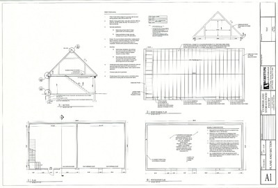
Site Plan and Index, Elementary School, SAD No. 51, Tuttle Road, Cumberland, Maine, 1966
- -
Site Plan and Index, Elementary School, SAD No. 51, Tuttle Road, Cumberland, Maine was created in 1966.
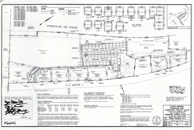
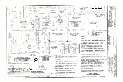
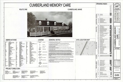
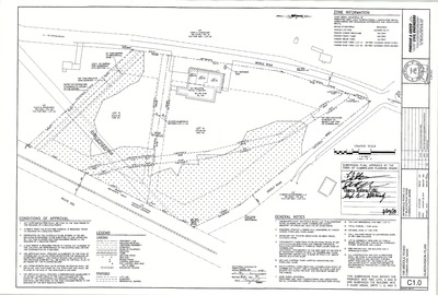
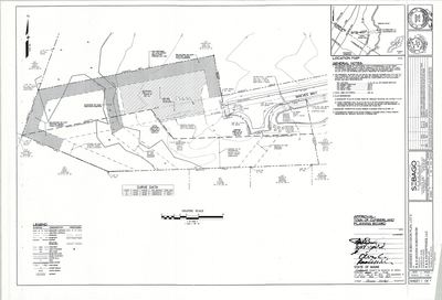
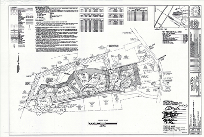
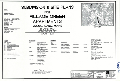
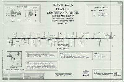
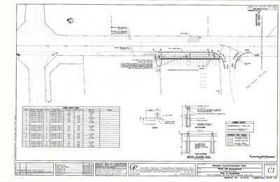
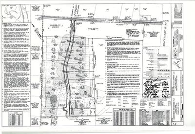
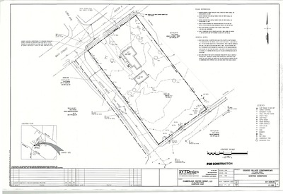
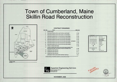
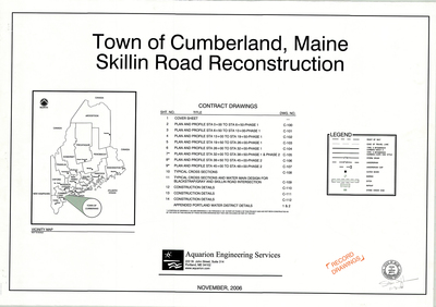
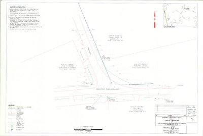
The Town of Cumberland Plans gallery houses a collection of plans and maps of the Town of Cumberland, and exists to gather, preserve, and make available those materials. Materials in the Collection date from the late 19th century to recent times. Types of materials in the collection include subdivision plans, utility maps, planning maps, soil maps, building blueprint sets, and tax/zoning maps.
Printing is not supported at the primary Gallery Thumbnail page. Please first navigate to a specific Image before printing.


