

-

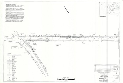
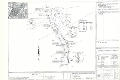
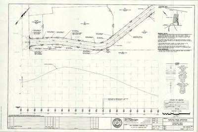
Plan of Property of Portland Water District, Cumberland, Maine, 1983
H. I. & E. C. Jordan
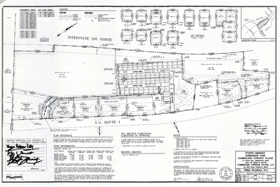
Plan of Property of Portland Water District, Cumberland, Maine was created by H. I. & E. C. Jordan in 1983. Includes Broad Cove easements, SAD #51 cross country sewer, Country Charm Road sewer, Ferne Lane pump station details and overall system map.
-

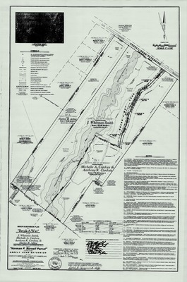
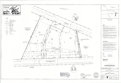
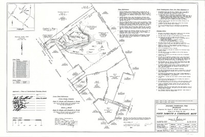
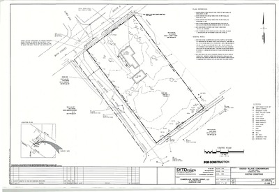
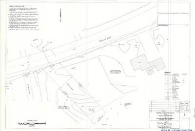
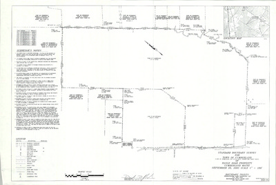
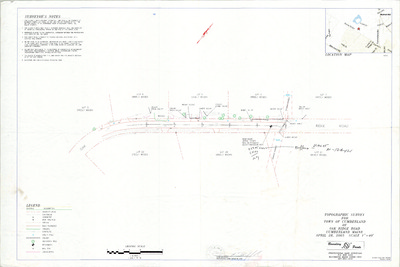
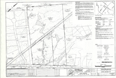
Plan of Property on Sturdivant Road, Cumberland, Maine, 1983
H. I. & E. C. Jordan
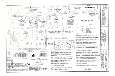
Plan of Property on Sturdivant Road, Cumberland, Maine was created by H. I. & E. C. Jordan in 1983.
-

Plan of Fair Wind Estates, Fairwind Lane and Ravine Drive, Cumberland, Maine, 1983
Housing Resources Corp.
-

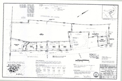
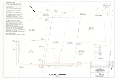
Plan of Fox Run Subdivision, Cumberland, Maine, 1983
Land Use Consultants
Plan of Fox Run Subdivision, Cumberland, Maine was created by Land Use Consultants in 1983.
-

Plan of Land on Mill Road, Cumberland, Maine, 1983
Daniel T. C. LaPoint
Plan of Land on Mill Road, Cumberland, Maine was created by Daniel T. C. LaPoint in 1983.
-

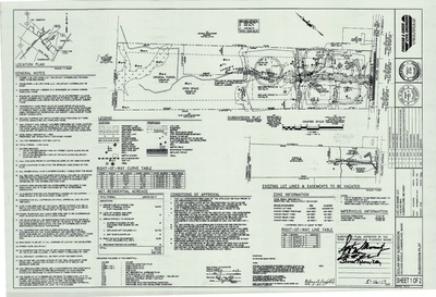
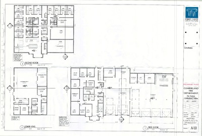
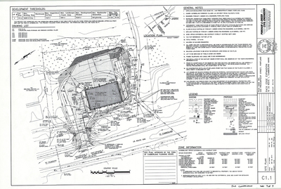
Plan of Cumberland Fire Station, Cumberland, Maine, 1982
- -
Plan of Cumberland Fire Station, Cumberland, Maine was created in 1982.
-

Plan of Bruce Hill Acres II, Cumberland, Maine, 1982
C. R. Storer, Inc.
Plan of Bruce Hill Acres II, Cumberland, Maine was created by C. R. Storer, Inc. in 1982.
-

Plan of Pond Shore Estates, Cumberland, Maine, 1982
Frank V. Wright Associates
Plan of Pond Shore Estates, Cumberland, Maine was created by Frank V. Wright Associates in 1982.
-

Plan of Pond Shore Estates, Skilling Road and Pond Shore Drive, Cumberland, Maine, 1982
Frank V. Wright Associates
-

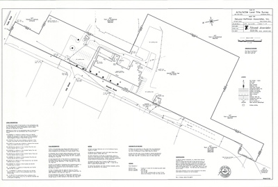
Plan of Property of William J. Seretta, Jr., Blanchard Road, Cumberland, Maine, 1982
Professional Land Services
-

Plan of Tall Pines Estate, Tuttle Road and Harris Road, Cumberland, Maine, 1981
Professional Land Services
-

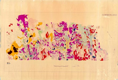
Flood Insurance Rate Maps, Cumberland, Maine, 1981
U.S. Department of Housing and Urban Development
Flood Insurance Rate Maps, Cumberland, Maine was created by the U.S. Department of Housing and Urban Development in 1981. Scale 1"=400'.
-

Recreation Area Inventory Project, Cumberland, Maine, 1980
Greater Portland Council of Governments
Recreation Area Inventory Project, Cumberland, Maine was created by Greater Portland Council of Governments in . Scale 1"=1000'.
-

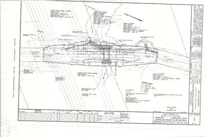
Cumberland Foreside Reservoir Contract Drawings and Reservoir Apurtenances, Cumberland, Maine, 1980
Portland Water District
Cumberland Foreside Reservoir was created by Portland Water District in 1980. Scale 1"=5'.
-

Plan of Bruce Hill Acres, Bruce Hill Road and Valley Road, Cumberland, Maine, 1980
Robert P. Titcomb Inc.
-

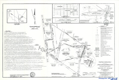
Plan of Brentwood, Foreside Road and Ravine Road, Cumberland, Maine, 1979
Edward C. Jordan Co., Inc.
-

Plan of Brentwood, Ravine Drive, Cumberland, Maine, 1979
H. I. & E. C. Jordan and Land Use Consultants, Inc.
Plan of Brentwood, Ravine Drive, Cumberland, Maine was created by H. I. & E. C. Jordan in 1979.
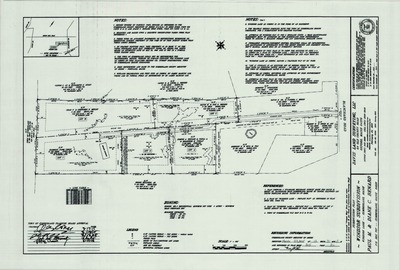
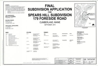
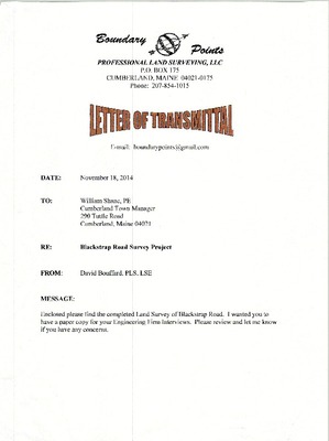
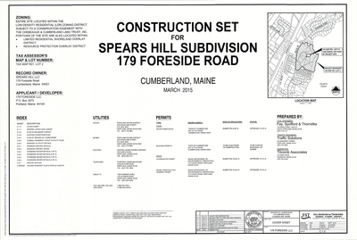
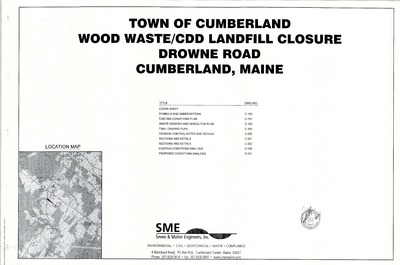
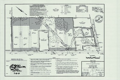
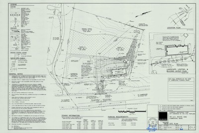
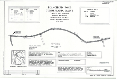
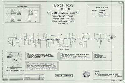
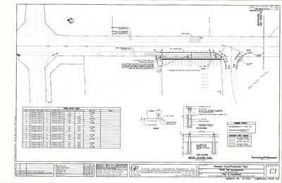
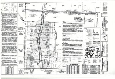
The Town of Cumberland Plans gallery houses a collection of plans and maps of the Town of Cumberland, and exists to gather, preserve, and make available those materials. Materials in the Collection date from the late 19th century to recent times. Types of materials in the collection include subdivision plans, utility maps, planning maps, soil maps, building blueprint sets, and tax/zoning maps.
Printing is not supported at the primary Gallery Thumbnail page. Please first navigate to a specific Image before printing.


