

-

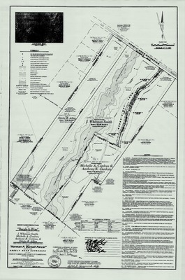
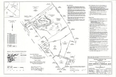
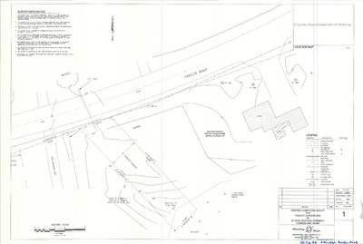
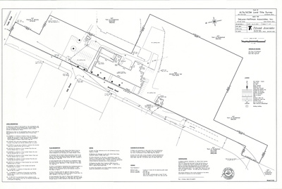
Plan of Property of Richard L. Doane, Main Street, Cumberland, Maine, 1989
R. P. Titcomb Associates, Inc.
Plan of Property of Richard L. Doane, Main Street, Cumberland, Maine was created by R. P. Titcomb Associates, Inc. in 1989. Scale 1"=100'.
-

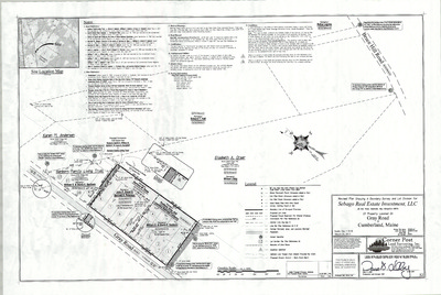
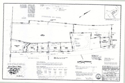
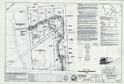
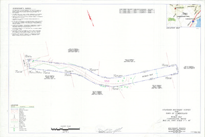
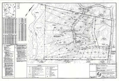
Plan of Westridge Subdivision, Greely Road and Shady Run Lane, Cumberland, Maine, 1989
Sebago Technics, Inc.
-

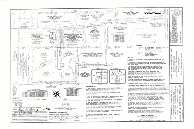
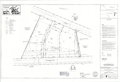
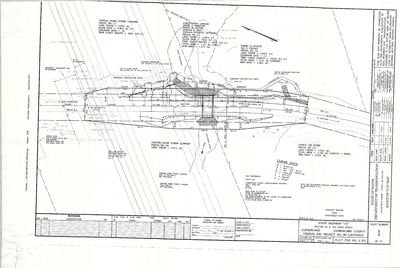
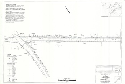
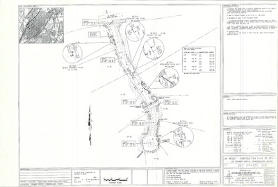
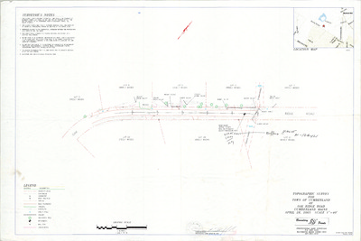
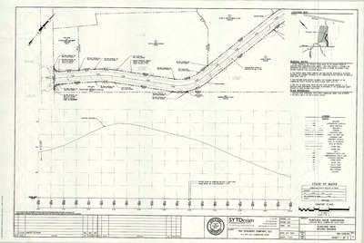
Right of Way Map, Route 88, Cumberland, Maine, 1988
MaineDepartment of Transportation
Right of Way Map, Route 88, Cumberland, Maine was created by the Maine Dept. of Transportation in 1988.
-

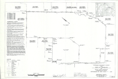
Maine Dept. of Transportation State Project No. 3590.00, Foreside Road, Cumberland, Maine, 1988
Maine Dept. of Transportation
-

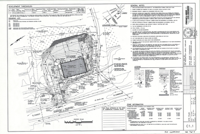
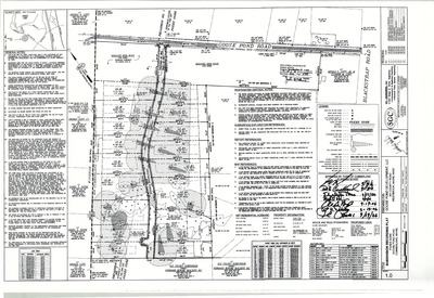
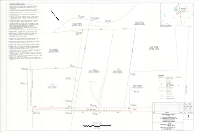
Plan of Conifer Ridge Road, Cumberland, Maine, 1988.
SEA Consultants Inc.
Plan of Conifer Ridge Road, Cumberland, Maine was created by SEA Consultants Inc. in 1988.
-

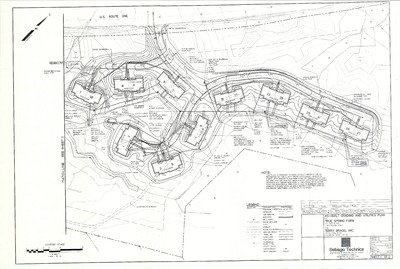
Plan of Bruce Hill Farms, Cumberland, Maine, 1988
Sebago Technics, Inc.
Plan of Bruce Hill Farms, Cumberland, Maine was created by Sebago Technics, Inc. in 1988. Includes amended plan dated 1996.
-

Plan of Newell Ridge Subdivision, Cumberland, Maine, 1988
Sebago Technics, Inc.
Plan of Newell Ridge Subdivision, Cumberland, Maine was created by Sebago Technics, Inc. in 1988.
-

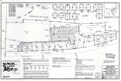
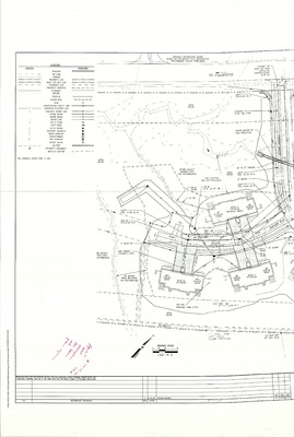
Plan of Crystal Lane Subdivision, Main Street and Crystal Lane, Cumberland, Maine, 1988
Woodard & Curran Inc.
-

Plan of Crystal Lane Subdivision, Cumberland, Maine, 1988
Woodward & Curran Inc.
Plan of Crystal Lane Subdivision, Cumberland, Maine was created by Woodward and Curran Inc. in 1988. Includes as-built plan from 1989.
-

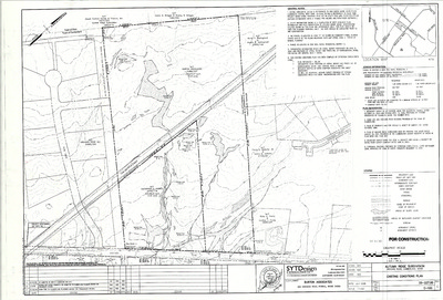
Plan of Glenview Subdivision, Cumberland, Maine, 1987
Anderson Associates
Plan of Glenview Subdivision, Cumberland, Maine was created by Anderson Associates in 1987.
-

Plan of Glenview Subdivision, Blanchard Road and Glenview Road, Cumberland, Maine, 1987
Anderson Associates and Brian Smith Surveying Inc.
-

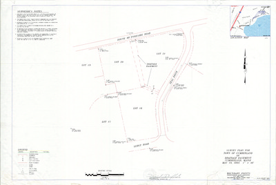
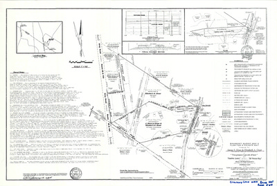
Survey Plan for Chris Axelson and Edward Copp, Greely Road Ext., Cumberland, Maine, 1987
Berry Huff McDonald Milligan, Inc.
Survey Plan for Chris Axelson and Edward Copp, Greely Road Ext., Cumberland, Maine was created by Berry Huff McDonald Milligan, Inc. in 1987.
-

Survey Plan for Chris Axelson and Edward Copp, Greely Road Ext., Cumberland, Maine, 1987
Berry, Huff, McDonald, Milligan, Inc.
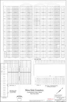
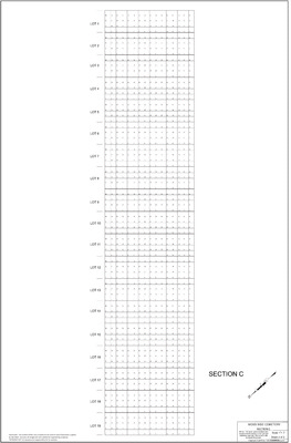
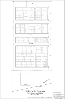
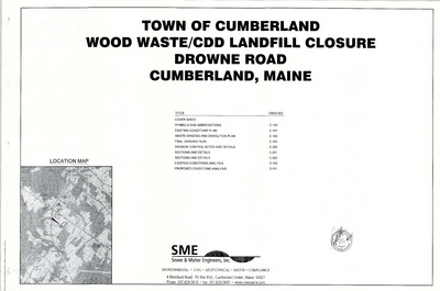
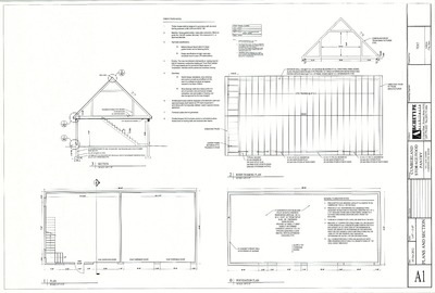
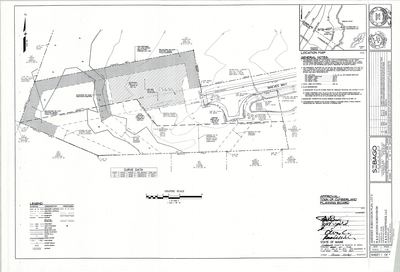
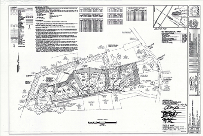
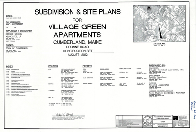
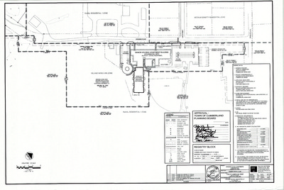
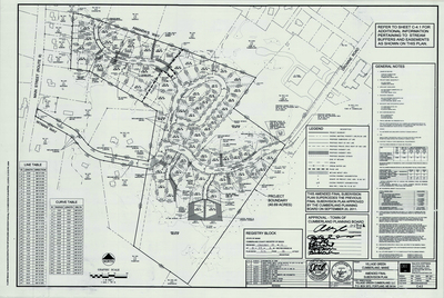
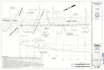
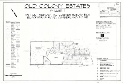
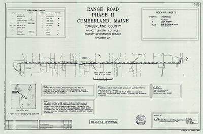
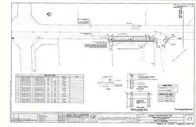
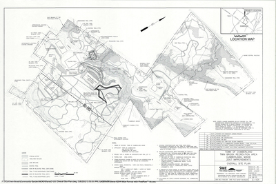
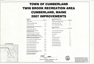
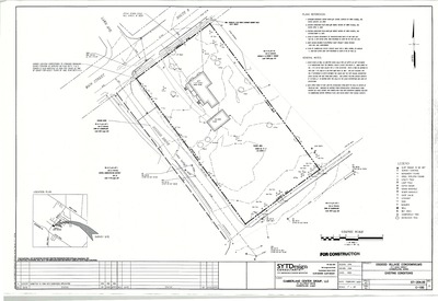
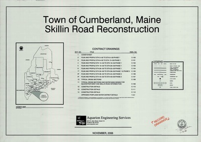
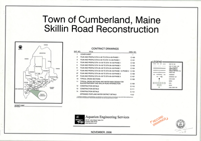
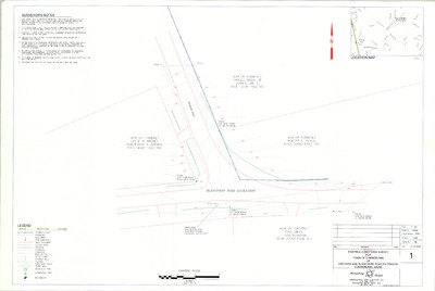
The Town of Cumberland Plans gallery houses a collection of plans and maps of the Town of Cumberland, and exists to gather, preserve, and make available those materials. Materials in the Collection date from the late 19th century to recent times. Types of materials in the collection include subdivision plans, utility maps, planning maps, soil maps, building blueprint sets, and tax/zoning maps.
Printing is not supported at the primary Gallery Thumbnail page. Please first navigate to a specific Image before printing.


