

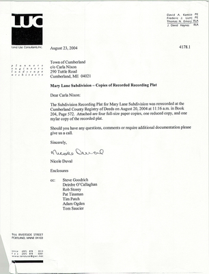
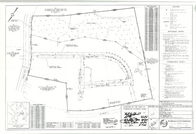
-

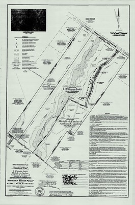
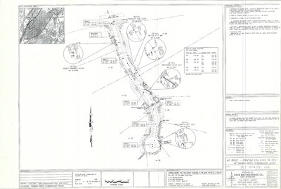
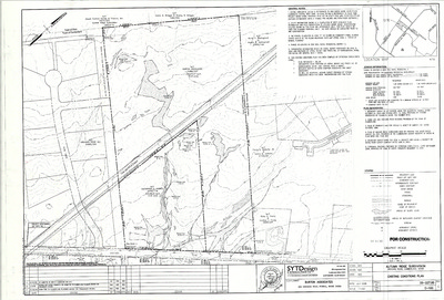
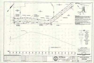
Plan of Maritimes and Northeast Pipeline, Proposed Phase II, NWI Quad Sheet Index, Maine, 1997
Western Blue Digital Blacklines
-

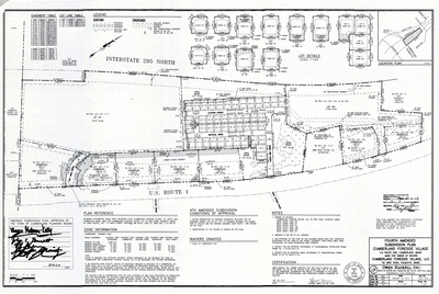
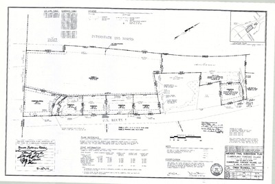
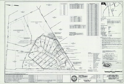
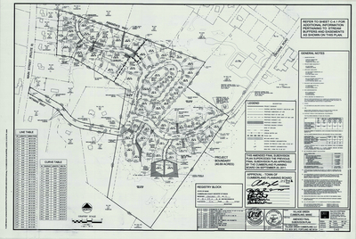
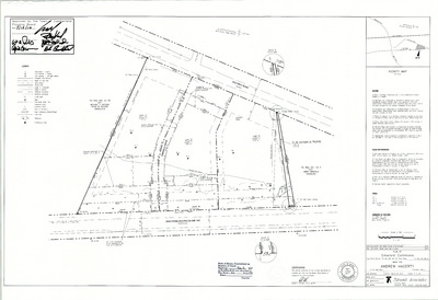
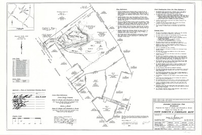
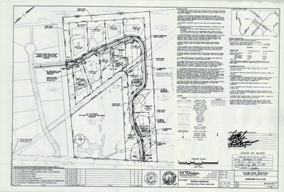
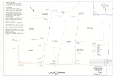
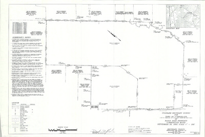
Plan of Valley Road Cluster Subdivision, Cumberland, Maine, 1996
Barry Huff McDonald Milligan, Inc.
Plan of Valley Road Cluster Subdivision, Cumberland, Maine was created by Barry Huff McDonald Milligan, Inc. in 1996. Includes 1984 "revision to the final plat of the Stanley N. Brown subdivision…"
-

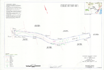
Standard Boundary Survey of Property of Gregory and Katherine Fowler, Greely Road, Cumberland, Maine, 1996
Walt Dunlap
Standard Boundary Survey of Property of Gregory and Katherine Fowler, Greely Road, Cumberland, Maine was created by Walt Dunlap in 1996. Scale 1"=200'.
-

Property Maps, Cumberland, Maine, 1996
John E. O'Donnell & Associates
Property Maps, Cumberland, Maine was created by John E. O'Donnell & Associates in 1996. Scale varies.
-

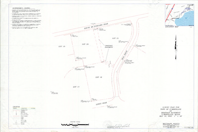
Plan of Idlewood Drive, Cumberland, Maine, 1996
Richard A. Manthorne
Plan of Idlewood Drive, Cumberland, Maine was created by Richard A. Manthorne in 1996.
-

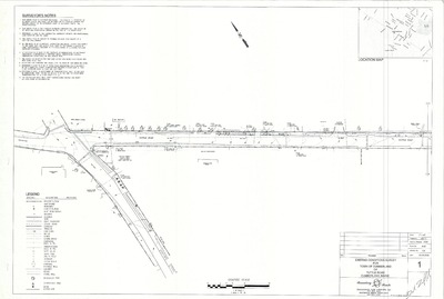
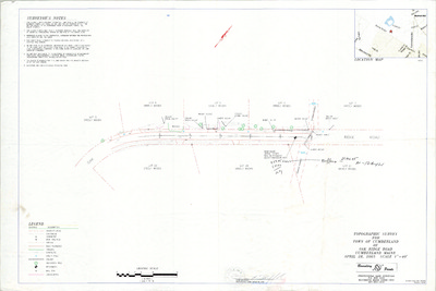
Plan of Tuttle Road Bike Route, Cumberland, Maine, 1996
Squaw Bay Corp
Plan of Tuttle Road Bike Route, Cumberland, Maine was created by Squaw Bay Corp in 1996. Scale 1"=50'.
-

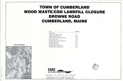
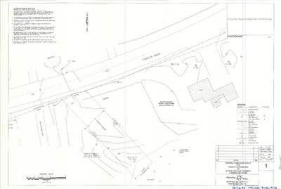
Deed Sketch of Land on Drowne Road, Tuttle Road, and Oak Street, Cumberland, Maine, 1995
Walt Dunlap
Deed Sketch of Land on Drowne Road, Tuttle Road, and Oak Street, Cumberland, Maine was created by Walt Dunlap for the Town of Cumberland in 1995.
-

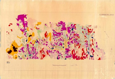
Flood Insurance Rate Maps, Cumberland, Maine, 1995
Federal Emergency Management Agency
Flood Insurance Rate Maps, Cumberland, Maine was created by the Federal Emergency Management Agency in 1995. Scale 1"=800'.
-

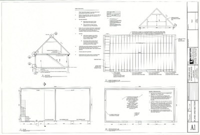
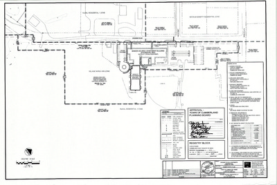
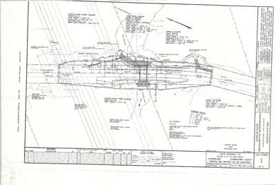
Mechanical Plan for Val Halla Country Club, Val Halla Road, Cumberland, Maine, 1995
Johnson and Jordan, Inc.
-

Plan of Cumberland Business Park, U.S. Route 1, Cumberland, Maine, 1995
Squaw Bay Corp.
Plan of Cumberland Business Park, U.S. Route 1, Cumberland, Maine was created by Squaw Bay Corp. in 1995. Scale 1"=100'.
-

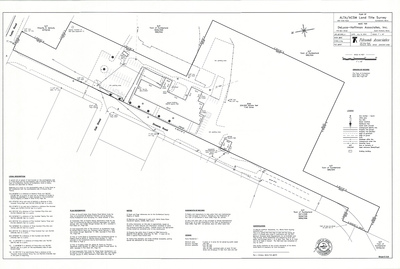
Standard Boundary Survey and Site Plan of Dillenback Property, Tuttle Road, Cumberland, Maine, 1996
Squaw Bay Corp.
Dillenback Property was created by Squaw Bay Corp. in 1994 and 1996. Scale varies.
-

Plan of The Common of Cumberland, Tuttle Road, Cumberland, Maine, 1995
Stevens Morton Rose & Thompson
Plan of The Common of Cumberland, Tuttle Road, Cumberland, Maine was created by Stevens Morton Rose & Thompson in 1995. Scale 1"=100'.
-

Plan of Addition to Prince Memorial Library, Main Street, Cumberland, Maine, 1995
Terrien Architects
Plan of Addition to Prince Memorial Library, Main Street, Cumberland, Maine was created by Terrien Architects in 1995. Scale 1"=4'.
-

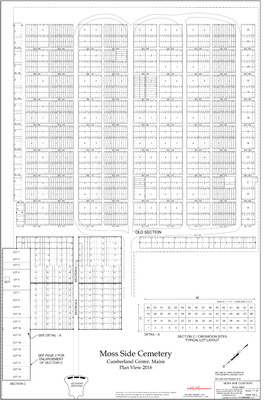
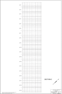
Plan of Moss Side Cemetery, Main Street, Cumberland, Maine, 1994
Terrence Parker and Squaw Bay Corp.
Plan of Moss Side Cemetery, Main Street, Cumberland, Maine was created by Terrence Parker in 1994. Includes Standard Boundary Survey dated July 1994.
-

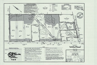
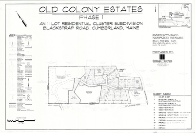
Plan of Kerri Farms Subdivision, Cumberland, Maine, 1994
Wayne Wood & Co.
Plan of Kerri Farms Subdivision, Cumberland, Maine was created by Wayne Wood and Co. in 1994.
-

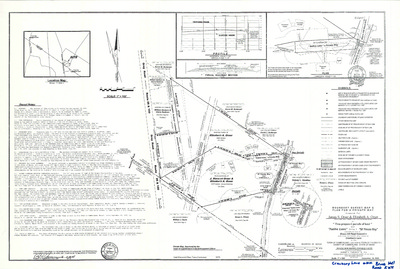
Plan of James H. Wilson Estate, Wilson Road, Cumberland, Maine, 1993
Daniel T. C. Lapoint Land Surveyors
Plan of James H. Wilson Estate, Wilson Road, Cumberland, Maine was created by Daniel T.C. Lapoint Land Surveyors in 1993. Scale 1"=200'.
-

Portland Water District Plan of Water System, Cumberland, Maine, 1993
Portland Water District
Portland Water District Plan of Water System, Cumberland, Maine was created by Portland Water District in 1993. Scale 1"=1000'.
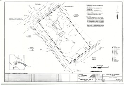
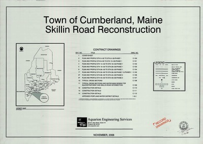
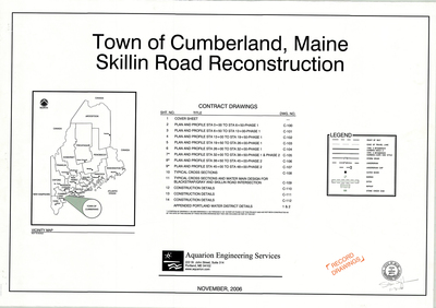
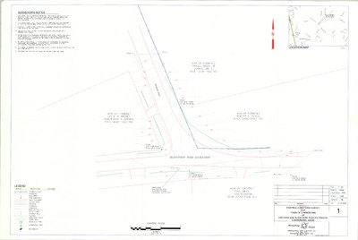
The Town of Cumberland Plans gallery houses a collection of plans and maps of the Town of Cumberland, and exists to gather, preserve, and make available those materials. Materials in the Collection date from the late 19th century to recent times. Types of materials in the collection include subdivision plans, utility maps, planning maps, soil maps, building blueprint sets, and tax/zoning maps.
Printing is not supported at the primary Gallery Thumbnail page. Please first navigate to a specific Image before printing.


