

-

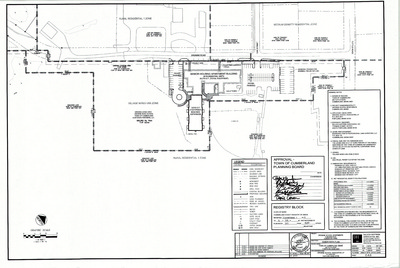
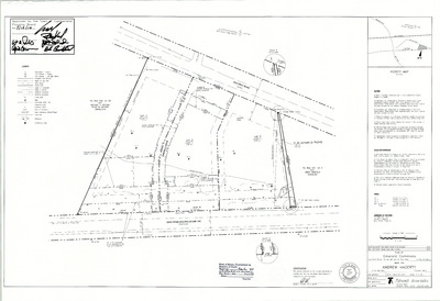
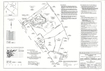
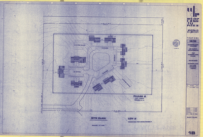
Plan of Cumberland Senior Housing, Cumberland, Maine, 1991
John W. Pochebit
Plan of Cumberland Senior Housing, Cumberland, Maine was created by John W. Pochebit in 1991.
-

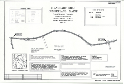
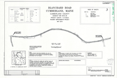
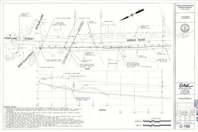
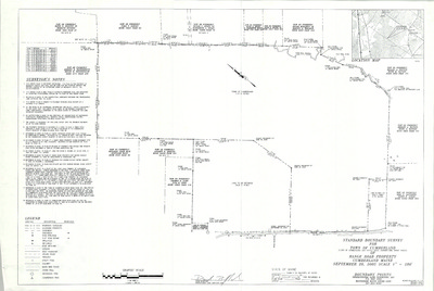
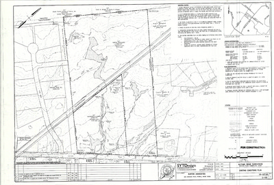
Plan of Blanchard Road Water Main and Fairgrounds Water Service, Cumberland, Maine, 1991
Squaw Bay Corp.
Plan of Blanchard Road Water Main and Fairgrounds Water Service, Cumberland, Maine was created by Squaw Bay Corp. in 1991. Scale 1"=20'.
-

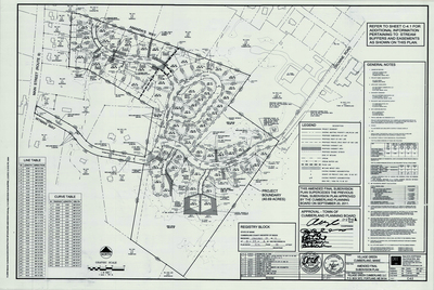
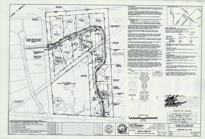
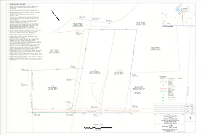
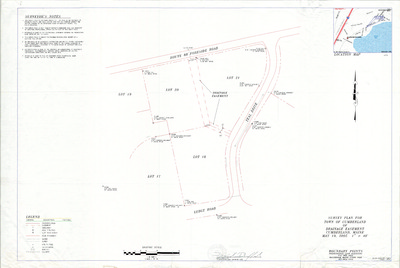
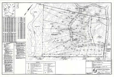
Plan of Windy Knolls Subdivision, Cumberland, Maine, 1991
Titcomb Associates
Plan of Windy Knolls Subdivision, Cumberland, Maine was created by Titcomb Associates in 1991.
-

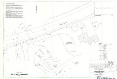
Plan of Cumberland Redemption Center, Main Street, Cumberland, Maine, 1990
G.L.S.
Plan of Cumberland Redemption Center, Route 9, Cumberland, Maine was created by G.L.S. in . Scale 1"=10'.
-

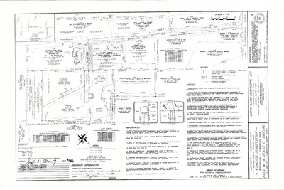
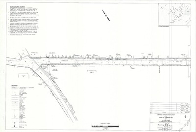
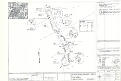
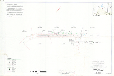
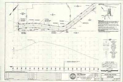
Road Plan and Profile of Small's Brook Crossing, Tuttle Road and Crossing Brook Road, Cumberland, Maine, 1990
Land Use Consultants
Road Plan and Profile of Small's Brook Crossing, Tuttle Road and Crossing Brook Road, Cumberland, Maine was created by Land Use Consultants in 1990. Includes pump station details.
-

Plan of Young/Maher Subdivision, Main Street, Cumberland, Maine, 1990
Peter M. Maher and David W. Young
-

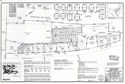
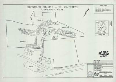
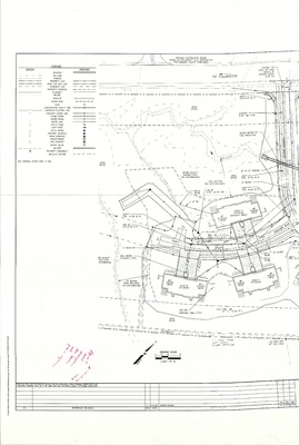
Plan of The Commons at Cumberland, Cumberland, Maine, 1990
Stevens Morton Rose & Thompson
Plan of The Commons at Cumberland, Cumberland, Maine was created by Stevens Morton Rose & Thompson in 1990.
-

Plan of Greely High School Renovations and Additions, Design Development Supplemental, Main Street, Cumberland, Maine, 1990
Terrien Architects
Plan of Greely High School Renovations and Additions, Design Development Supplemental, Main Street, Cumberland, Maine was created by Terrien Architects in 1990. Scale 1"=8'.
-

Plan of Greely High School Renovations and Additions, Vol. 1, Main Street, Cumberland, Maine, 1990
Terrien Architects
Plan of Greely High School Renovations and Additions, Vol. 1, Main Street, Cumberland, Maine was created by Terrien Architects in 1990. Scale 1"=8'.
-

Plan of Greely High School Renovations and Additions, Vol. 2, Main Street, Cumberland, Maine, 1990
Terrien Architects
Plan of Greely High School Renovations and Additions, Vol. 2, Main Street, Cumberland, Maine was created by Terrien Architects in 1990. Scale 3/4 in=1'.
-

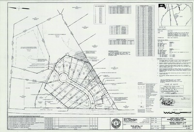
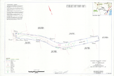
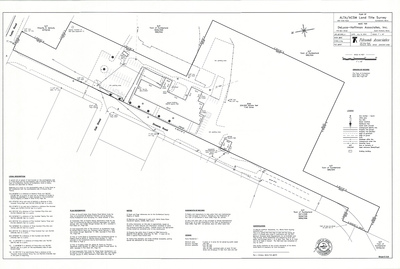
Standard Boundary Survey of Catalpa Way, Cumberland, Maine, 1990
Titcomb Associates
Standard Boundary Survey of Catalpa Way, Cumberland, Maine was created by Titcomb Associates in 1990. Includes plans from 1988.
-

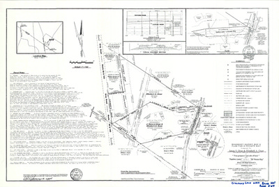
Standard Boundary Survey of Daigle Subdivision, Middle Road, Cumberland, Maine, 1990
Titcomb Associates and Squaw Bay Corp.
Standard Boundary Survey of Daigle Subdivision, Middle Road, Cumberland, Maine was created by Titcomb Associates in 1990. Includes 1993 revision created by Squaw Bay Corp.
-

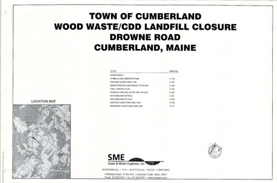
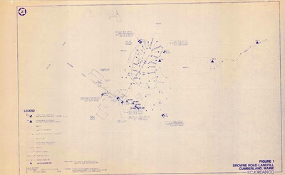
Cumberland Sewer System and Drowne Road Sewer Extension, Cumberland, Maine, 1989
Edward C. Jordan Co., Inc.
Cumberland Sewer System and Drowne Road Sewer Extension, Cumberland, Maine was created by Edward C. Jordan Co., Inc. in 1989. Scale varies.
-

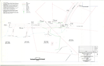
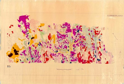
Groundwater Study, Cumberland, Maine, 1989
Greater Portland Council of Governments
Groundwater Study, Cumberland, Maine was created by Greater Portland Council of Governments in 1989. Scale 1"=1000'.
-

Official Zoning Maps, Cumberland, Maine, 1989
Greater Portland Council of Governments
Official Zoning Maps, Cumberland, Maine was created by Greater Portland Council of Governments in 1989. Scale 1"=1000'.
-

Town of Cumberland Comprehensive Plan Overlays, Cumberland, Maine, 1989
Greater Portland Council of Governments
Town of Cumberland Comprehensive Plan Overlays, Cumberland was created by Greater Portland Council of Governments in 1989. Scale 1"=2000'.
-

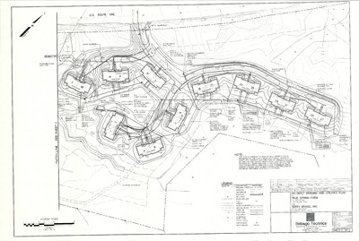
Plan of Cumberland View, Cumberland, Maine, 1989
Land Plan Associates
Plan of Cumberland View, Cumberland, Maine was created by Land Plan Associates in 1989.
-

Standard Boundary Survey of Cross Road, Cumberland, Maine, 1989
Daniel T. C. LaPoint
Standard Boundary Survey of Cross Road, Cumberland, Maine was created by Daniel T. C. LaPoint in 1989.
-

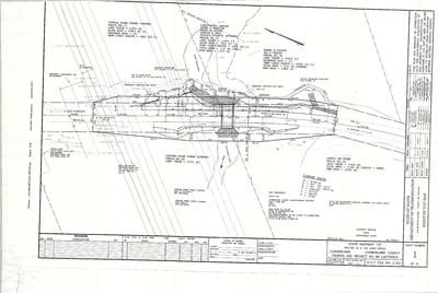
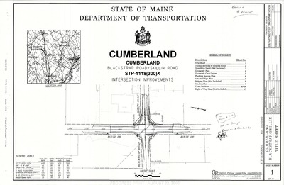
Plan of Route 1, Falmouth and Cumberland, Maine, 1989
MaineDepartment of Transportation
Plan of Route 1, Falmouth and Cumberland, Maine was created by Maine Dept. of Transportation in 1989.
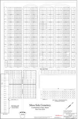
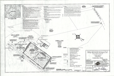
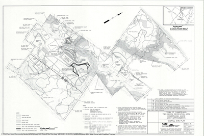
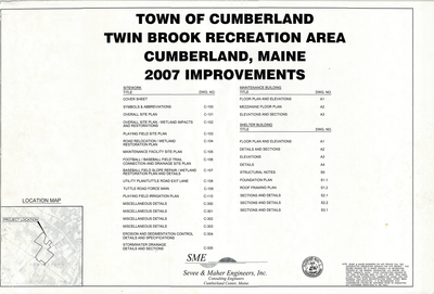
The Town of Cumberland Plans gallery houses a collection of plans and maps of the Town of Cumberland, and exists to gather, preserve, and make available those materials. Materials in the Collection date from the late 19th century to recent times. Types of materials in the collection include subdivision plans, utility maps, planning maps, soil maps, building blueprint sets, and tax/zoning maps.
Printing is not supported at the primary Gallery Thumbnail page. Please first navigate to a specific Image before printing.


