

-

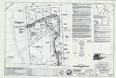
Plan of Whitney Farm Estates, Cumberland, Maine, 1987
Deluca-Hoffman Associates, Inc.
Plan of Whitney Farm Estates, Cumberland, Maine was created by Deluca-Hoffman Associates, Inc. in 1987.
-

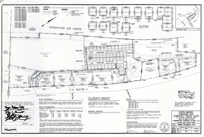
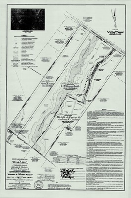
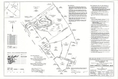
Final Plan of Sturbridge Estates, Cumberland, Maine, 1987
Gadbois & Associates
Final Plan of Sturbridge Estates, Cumberland, Maine was created by Gadbois & Associates in 1987.
-

Plan of Greely Pines, Cumberland, Maine, 1987
H. I. & E. C. Jordan
Plan of Greely Pines, Cumberland, Maine was created by H. I. & E. C. Jordan in 1987.
-

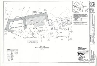
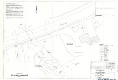
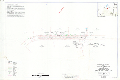
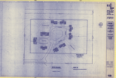
Plan of Windy Knolls, Greely Road and Mere Wind Drive, Cumberland, Maine, 1987
R. P. Titcomb Associates Inc.
-

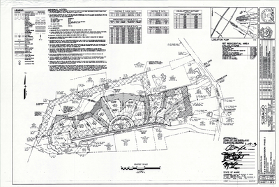
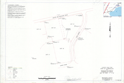
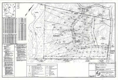
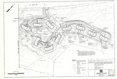
Plan of Westridge Subdivision, Shady Run Lane, Cumberland, Maine, 1987
Sebago Technics, Inc.
Plan of Westridge Subdivision, Shady Run Lane, Cumberland, Maine, was created by Sebago Technics, Inc. in 1987.
-

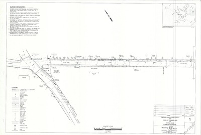
Plan of Wildwood Storm Drainage, Cumberland, Maine, 1987
T. Y. Lin International and Hunter Ballew Associates
Plan of Wildwood Storm Drainage, Cumberland, Maine was created by T. Y. Lin International and Hunter Ballew Associates in 1987.
-

Plan of Meadow Lane Subdivision, Cumberland, Maine, 1987
Woodward & Curran Inc.
Plan of Meadow Lane Subdivision, Cumberland, Maine was created by Woodward & Curran Inc. in 1987.
-

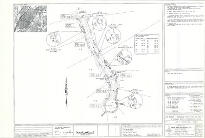
Location of Highway Monuments, Route 9/Main Street and Greely Road, Cumberland, Maine, 1986
- -
Location of Highway Monuments, Route 9/Main Street and Greely Road, Cumberland, Maine was created in 1986.
-

Plan of Cumberland Meadows, Cumberland, Maine, 1986
Architects Four and Woodward and Curran Inc.
Plan of Cumberland Meadows, Cumberland, Maine was created by Architects Four and Woodward and Curran Inc. in 1986.
-

Plan of Edes Subdivision, Cumberland, Maine, 1986
Courbron Gotto Associates, Inc.
Plan of Edes Subdivision, Cumberland, Maine was created by Courbron Gotto Associates, Inc. in 1986.
-

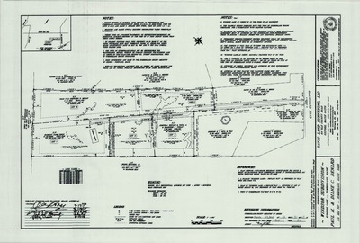
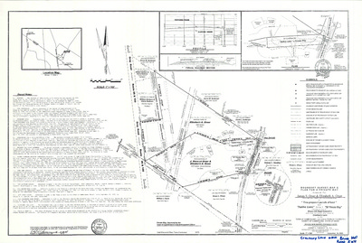
Plan of the Sanctuary Subdivision, Foreside Road, Cumberland, Maine, 1986
Edward C. Jordan Co., Inc. and Land Use Consultants
-

Aerial Photo of Mainland, Cumberland, Maine, 1986
Greater Portland Council of Governments and James W. Sewall Co.
Aerial Photo of Mainland, Cumberland, Maine was created by the Greater Portland Council of Governments in 1986. Scale 1"=1000'.
-

Plan of Falmouth Country Club, Cumberland, Maine, 1986
Land Use Consultants
Plan of Falmouth Country Club, Cumberland, Maine was created by Land Use Consultants in 1986.
-

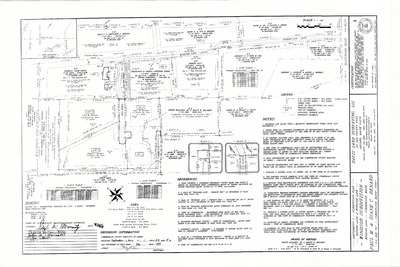
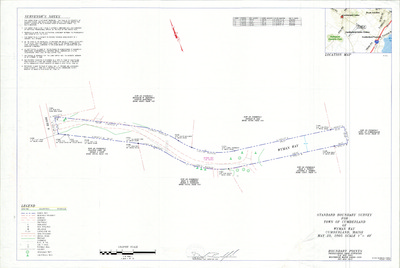
Standard Boundary Survey Plan of Land on Mill Road, Cumberland, Maine, 1986
Daniel T. C. LaPoint
Standard Boundary Survey Plan of Land on Mill Road, Cumberland, Maine was created by Daniel T. C. LaPoint in 1986.
-

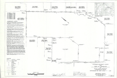
Standard Boundary Survey of Land on Route 9, Cumberland, Maine, 1986
Owen Haskell, Inc.
Standard Boundary Survey of Land on Route 9, Cumberland, Maine was created by Owen Haskell, Inc. in 1986.
-

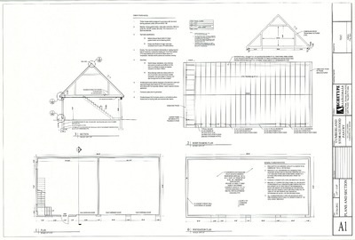
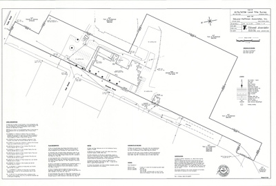
Plan of Addition to Prince Memorial Library, Main Street, Cumberland, Maine, 1986
Owen Haskell Inc. and Terrien Architects
-

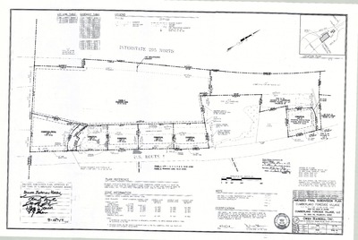
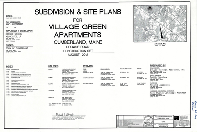
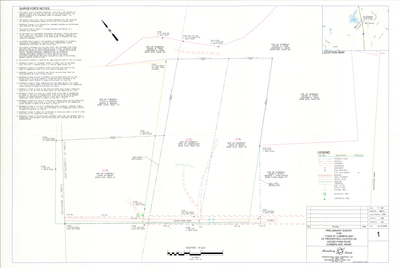
Plan of Meadow Lane Subdivision, Tuttle Road and Meadow Way, Cumberland, Maine, 1987
Woodard & Curran Inc.
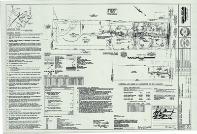
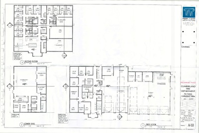
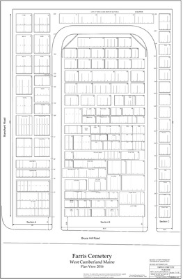
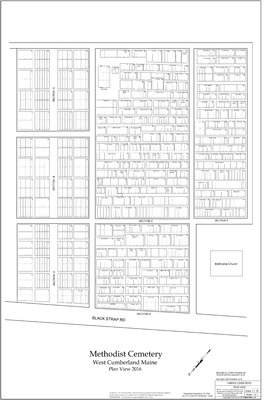
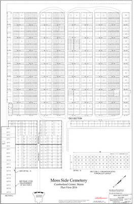
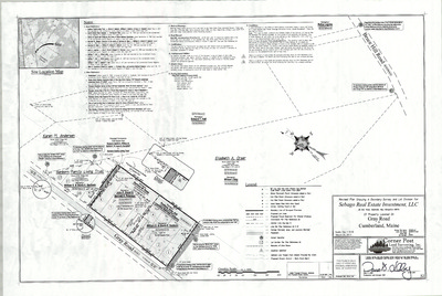
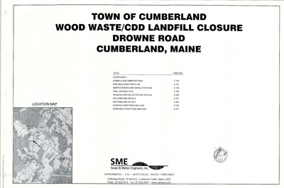
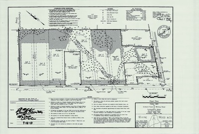
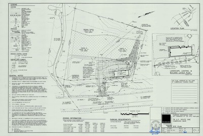
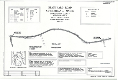
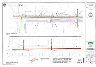
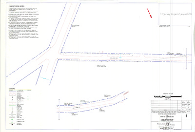
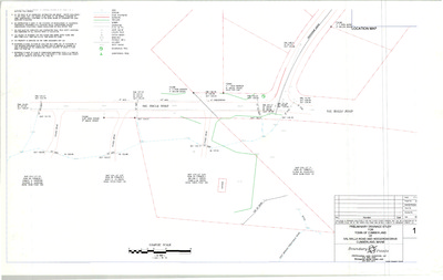
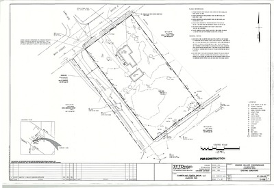
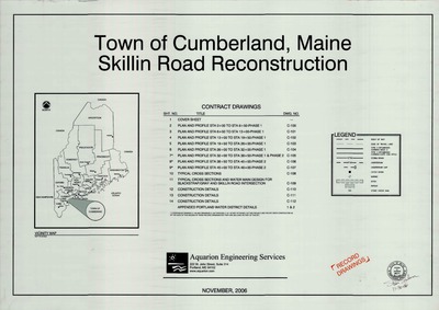
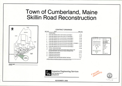
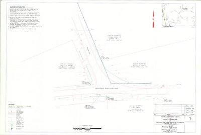
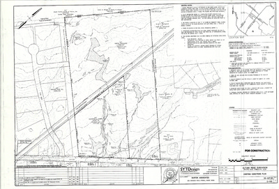
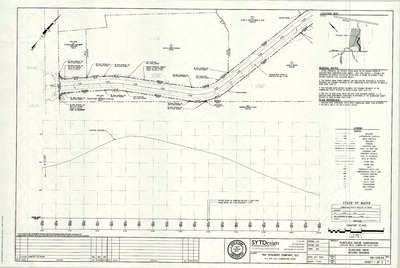
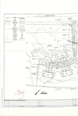
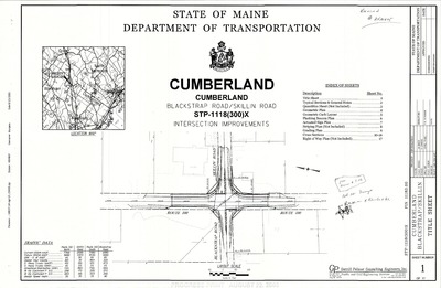
The Town of Cumberland Plans gallery houses a collection of plans and maps of the Town of Cumberland, and exists to gather, preserve, and make available those materials. Materials in the Collection date from the late 19th century to recent times. Types of materials in the collection include subdivision plans, utility maps, planning maps, soil maps, building blueprint sets, and tax/zoning maps.
Printing is not supported at the primary Gallery Thumbnail page. Please first navigate to a specific Image before printing.


