

-

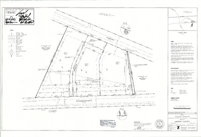
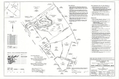
Plan of Fall Brook Meadow, Cumberland, Maine, 1979
Owen Haskell, Inc.
Plan of Fall Brook Meadow, Cumberland, Maine was created by Owen Haskell, Inc. in 1979.
-

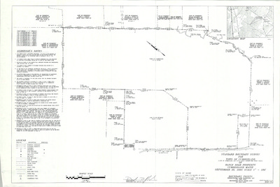
Plan of Cumberland Foreside Water Reservoir Showing Tank Feed and Drain Line, Cumberland, Maine, 1979
Portland Water District
Plan of Cumberland Foreside Water Reservoir Showing Tank Feed and Drain Line, Cumberland, Maine was created by Portland Water District in 1979. Scale 1"=5'.
-

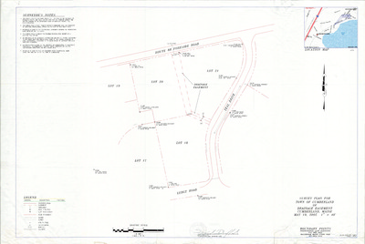
Plan of Foreside Reservoir, Cumberland, Maine, 1979
Portland Water District
Plan of Foreside Reservoir, Cumberland, Maine was created by Portland Water District in 1979.
-

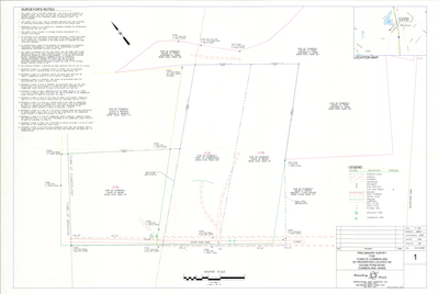
Plan of Pine Ridge Road II, Cumberland, Maine, 1979
Robert P. Titcomb, Inc. and H. I. & E. C. Jordan
Plan of Pine Ridge Road II, Cumberland, Maine Cumberland, Maine was created by Robert P. Titcomb, Inc. Includes 1964 plan of Pine Ridge Road created by H. I. & E. C. Jordan and buried cable plans from 1968.
-

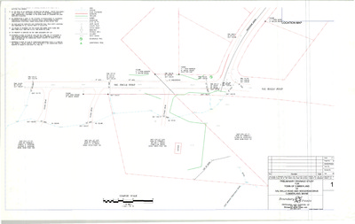
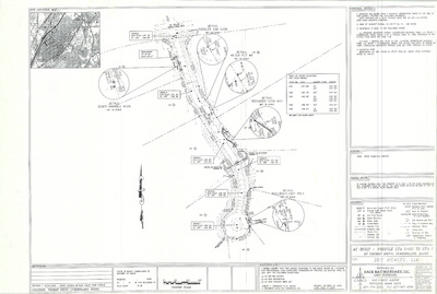
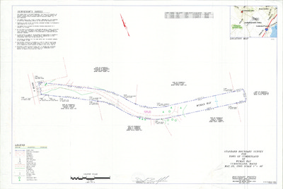
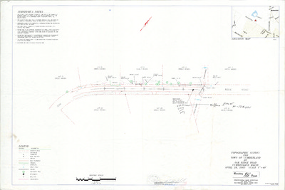
Cumberland Coastal Access Study, Cumberland, Maine, 1979
Wright-Pierce Engineers
Cumberland Coastal Access Study, Cumberland, Maine was created by Wright-Pierce Engineers in 1979. Scale 1"=20'.
-

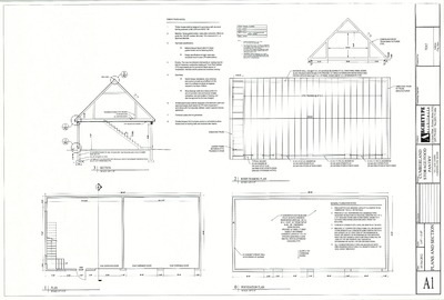
Plan of Pro Shop Proposal and Addition, Cumberland, Maine, 1978
John Baggs
Plan of Pro Shop Addition, Val Halla Golf Course, Cumberland, Maine was created by N. T. Fox Co., Inc. and John Baggs in 1978.
-

Plan and Profile of Old Gray Road, Cumberland, Maine, 1906
Berry Huff McDonald Milligan, Inc.
Plan and Profile of Old Gray Road, Cumberland, Maine was created by Berry Huff McDonald Milligan, Inc. in 1978. Includes 1906 plan by H. W. Foster and 1922 plan by Wm. E. Winslow.
-

Plan of Mabel I. Wilson Subdivision, Cumberland, Maine, 1978
D. Bruce Verrill Associates Inc.
Plan of Mable I. Wilson Subdivision, Cumberland, Maine was created by D. Bruce Verrill Associates Inc. in 1978.
-

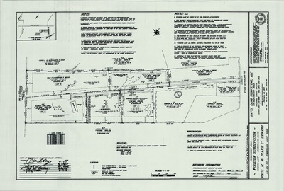
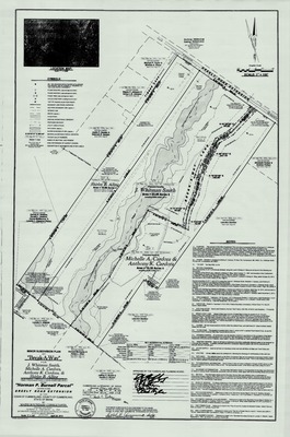
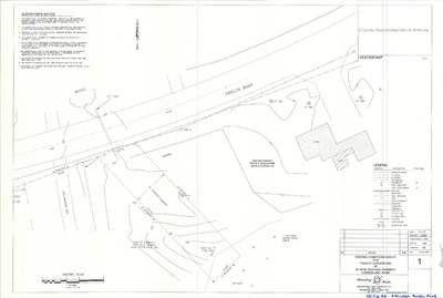
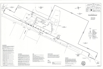
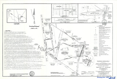
Plan of Property of Elizabeth H. Johnson, Foreside Road, Cumberland, Maine, 1978
Edward C. Jordan Co., Inc.
-

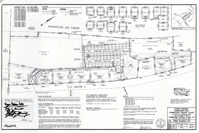
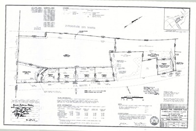
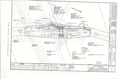
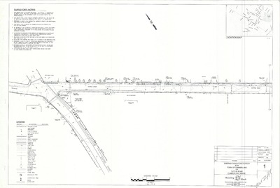
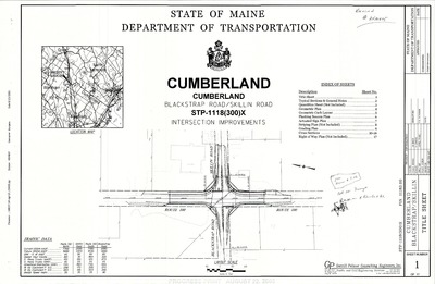
Plan of Interstate 295 Overlay, Cumberland, Maine, 1978
MaineDepartment of Transportation
Plan of Interstate 295 Overlay, Cumberland, Maine was created by the Maine Dept. of Transportation in 1978.
-

Plan of Ledge Road, Cumberland, Maine, 1978
Owen Haskell, Inc.
Plan of Ledge Road, Cumberland, Maine was created by Owen Haskell, Inc. in 1978.
-

Plan of Foreside Pines, Ole Musket Road, Cumberland, Maine, 1978
Robert P. Titcomb, Inc. and H. I. & E. C. Jordan
Plan of Foreside Pines, Ole Musket Road, Cumberland, Maine was created by Robert P. Titcomb, Inc. and H. I. & E. C. Jordan in 1978.
-

Subdivision Plan for Land of Mabel Wilson, Forest Lane, Cumberland, Maine, 1977
D. Bruce Verrill Associates, Inc.
-

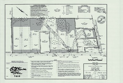
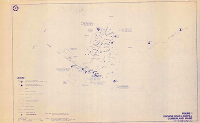
Clam Density Study, Mainland Shore, Cumberland, Maine, 1977
Wayne Wood & Co.
Clam Density Study, Mainland Shore, Cumberland, Maine was created by unknown in 1977. Scale N/A.
-

Plan of Greely Woods, Cumberland, Maine, 1977
Whitman and Howard Inc.
Plan of Greely Woods, Cumberland, Maine was created by Whitman and Howard Inc. in 1977.
-

Plan of Greely Woods, Greely Road Extension and Oak Ridge Road, Cumberland, Maine, 1977
Whitman and Howard Inc.
-

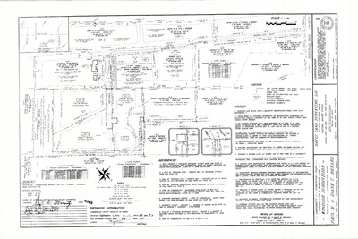
Property Maps, Cumberland, Maine, 1976
John E. O'Donnell & Associates
Property Maps, Cumberland, Maine was created by John E. O'Donnell & Associates in 1976. Scale 1"=100'.
-

Plan of Towne Square Shopping Center, Tuttle Road, Cumberland, Maine, 1972
Kara Realty Trust Developer
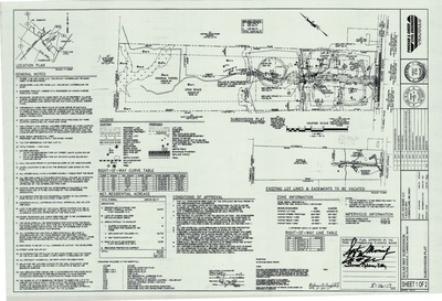
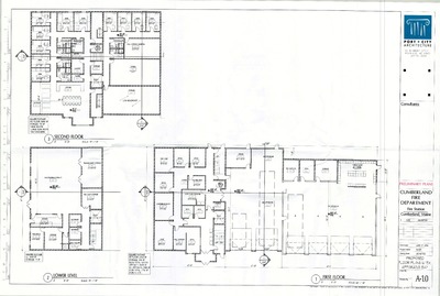
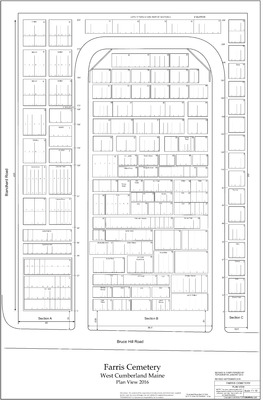
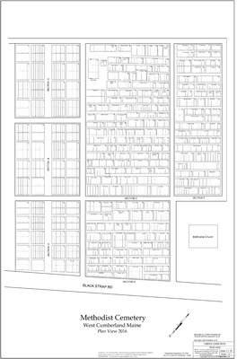
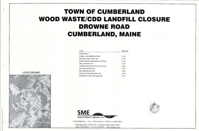
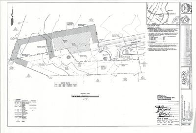
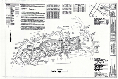
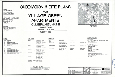
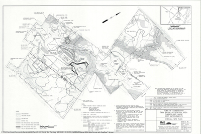
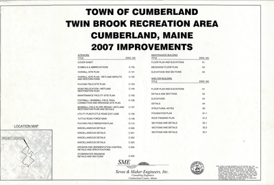
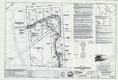
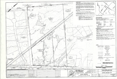
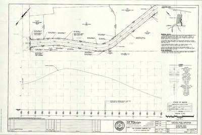
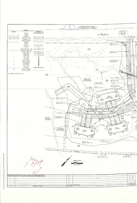
The Town of Cumberland Plans gallery houses a collection of plans and maps of the Town of Cumberland, and exists to gather, preserve, and make available those materials. Materials in the Collection date from the late 19th century to recent times. Types of materials in the collection include subdivision plans, utility maps, planning maps, soil maps, building blueprint sets, and tax/zoning maps.
Printing is not supported at the primary Gallery Thumbnail page. Please first navigate to a specific Image before printing.


