

-

Plan of Property of Barbara Morris Goodbody, Foreside Road, Cumberland Maine, 1974
Edward C. Jordan Co., Inc.
-

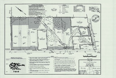
Plan of the Leroy Stratton Property on Methodist Road, Cumberland, Maine, 1973
A. W. I. Engineering Co.
Plan of the Leroy Stratton Property on Methodist Road, Cumberland, Maine was created by A. W. I. Engineering Co. in 1973.
-

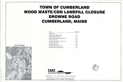
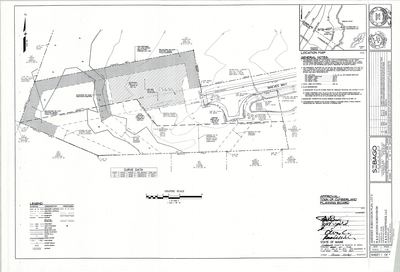
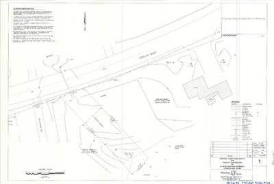
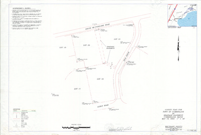
Plan of Property on Drowne Road, Cumberland, Maine, 1973
H. I. & E. C. Jordan
Plan of Property on Drowne Road, Cumberland, Maine was created by H. I. & E. C. Jordan in 1973.
-

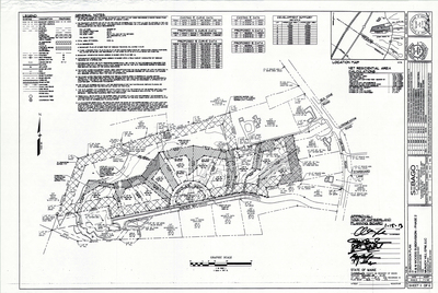
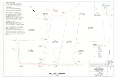
Plan of Fair Meadow, Cumberland, Maine, 1973
Rey-Gard, Inc.
Plan of Fair Meadow, Cumberland, Maine was created by Rey-Gard, Inc. in 1973.
-

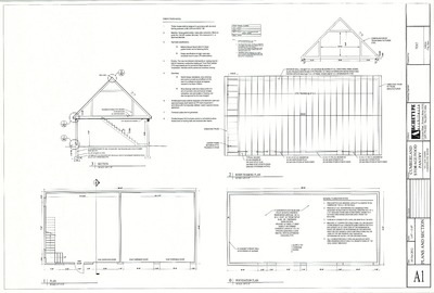
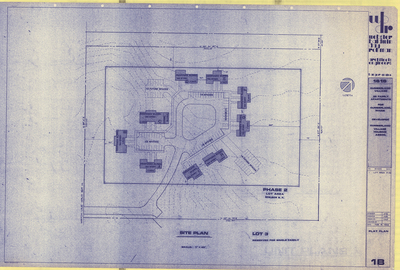
Plan of Renovation Of Greely Institute, Main Street, Cumberland, Maine, 1972
Beal Depeter Ward, Inc.
-

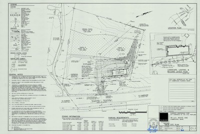
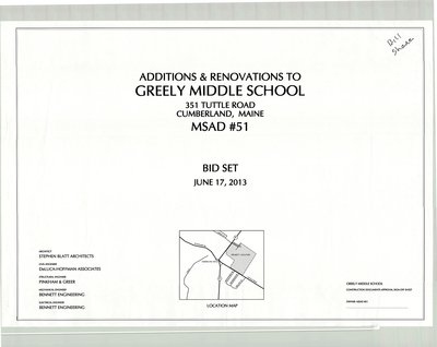
Plan of Paving of Parking Lot and Access Roads for SAD No. 51, Cumberland, Maine, 1972
Dale E. Caruthers
Plan of Paving of Parking Lot and Access Roads for SAD No. 51, Cumberland, Maine was created by Dale E. Caruthers in 1972.
-

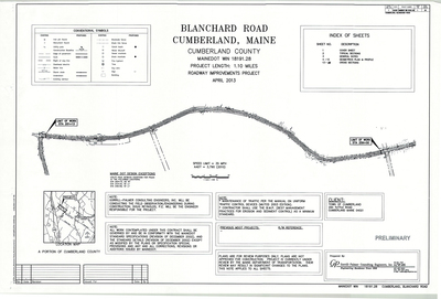
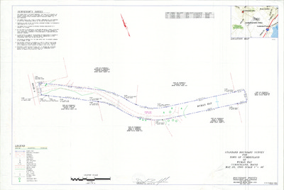
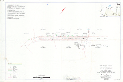
Plan and Profile of Mill Ridge Road, Cumberland, Maine, 1972
C. R. Storer, Inc.
Plan of Mill Ridge Road, Cumberland, Maine was created by C. R. Storer, Inc. in 1972. Revised 1973; redrawn by Bob Humphreys in 1989.
-

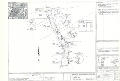
Plan of Subsurface Exploration, Cart Road, Cumberland, Maine, 1972
Edward C. Jordan Co, Inc.
Plan of Subsurface Exploration, Cart Road, Cumberland, Maine was created by Edward C. Jordan Co, Inc. in 1972.
-

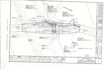
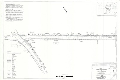
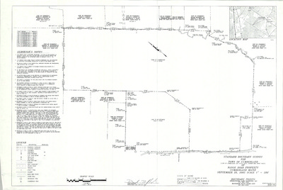
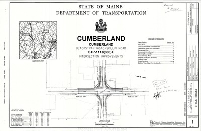
Right of Way Map and Survey, Rideout Bridge over Mill Brook, Cumberland, Maine, 1972
MaineDepartment of Transportation
Right of Way Map and Survey, Rideout Bridge over Mill Brook, Cumberland, Maine was created by Maine Dept. of Transportation in 1972.
-

Property Maps, Cumberland, Maine, 1971
John E. O'Donnell & Associates
Property Maps, Cumberland, Maine was created by John E. O'Donnell & Associates in 1971. Scale 1"=100'.
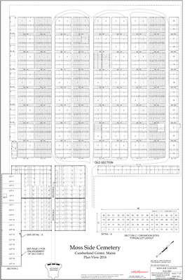
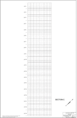
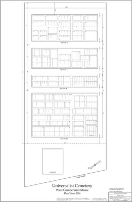
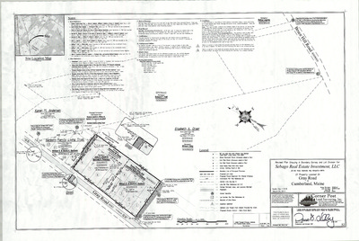
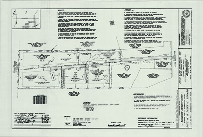
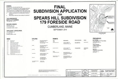
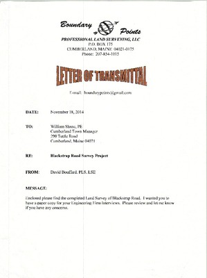
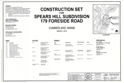
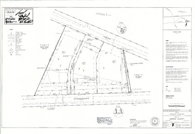
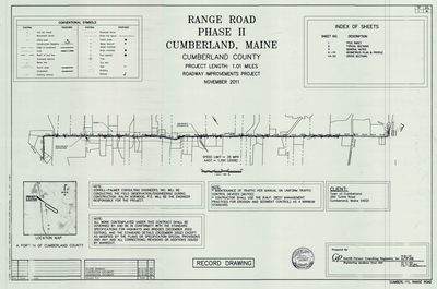
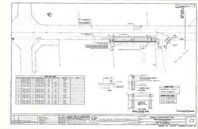
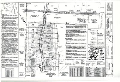
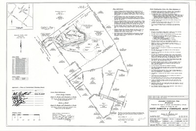
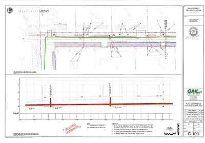
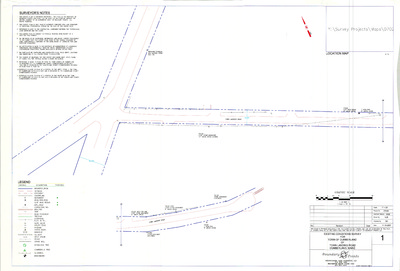
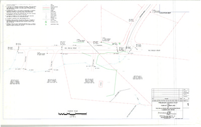
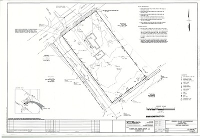
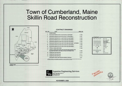
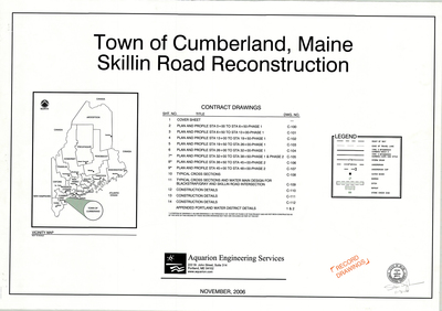
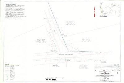
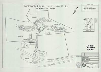
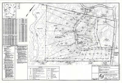
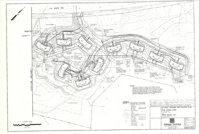
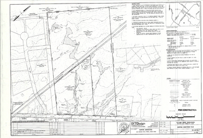
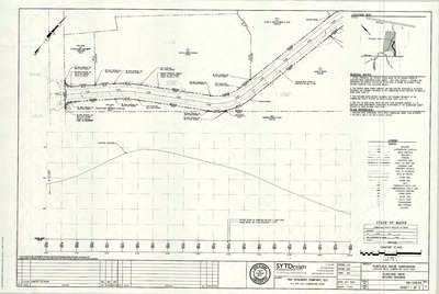
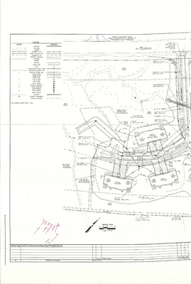
The Town of Cumberland Plans gallery houses a collection of plans and maps of the Town of Cumberland, and exists to gather, preserve, and make available those materials. Materials in the Collection date from the late 19th century to recent times. Types of materials in the collection include subdivision plans, utility maps, planning maps, soil maps, building blueprint sets, and tax/zoning maps.
Printing is not supported at the primary Gallery Thumbnail page. Please first navigate to a specific Image before printing.


