

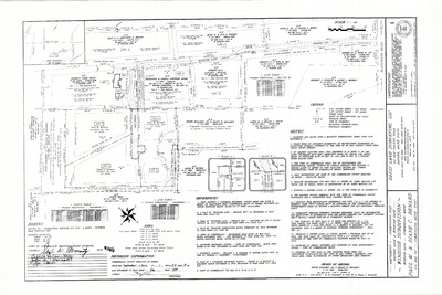
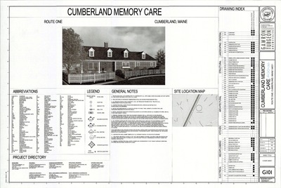
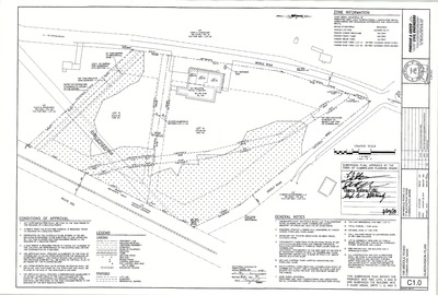
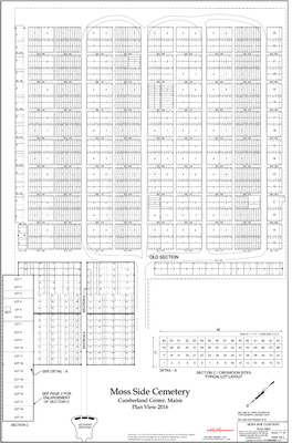
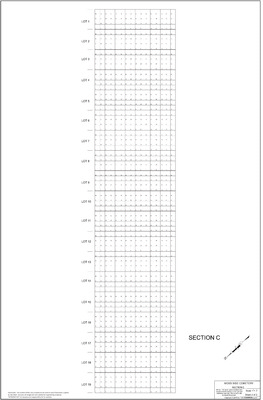
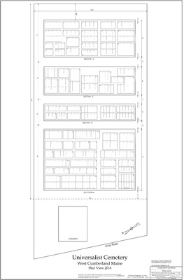
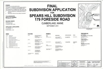
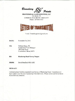
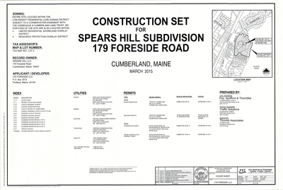
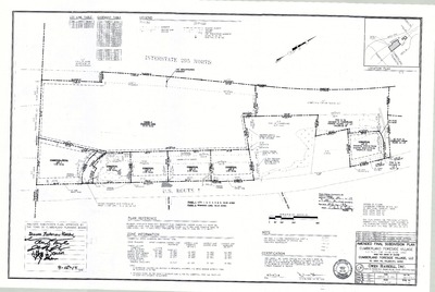
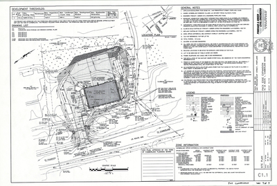
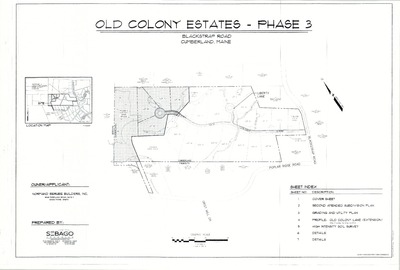
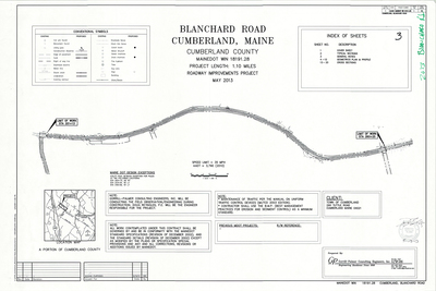
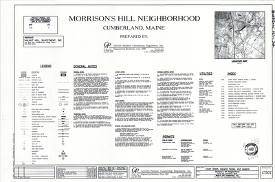
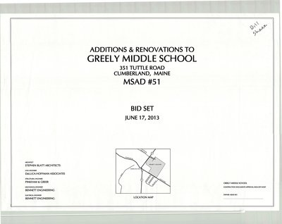
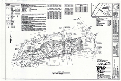
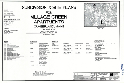
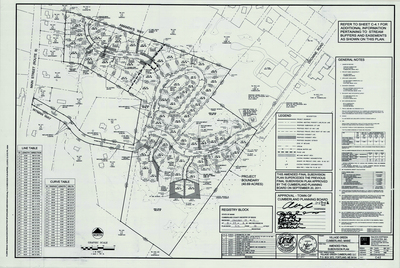
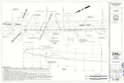
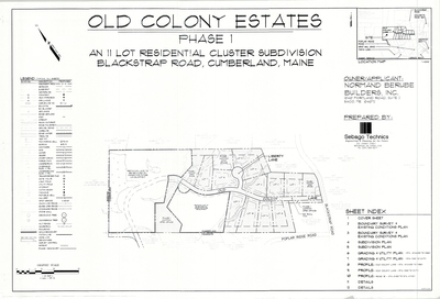
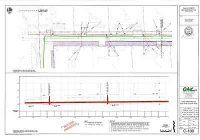
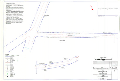
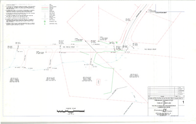
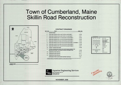
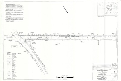
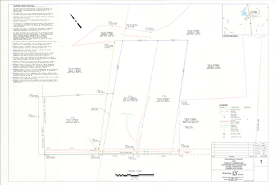
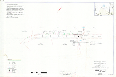
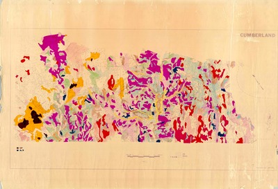
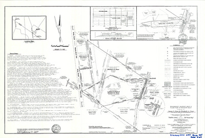
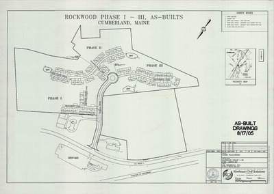
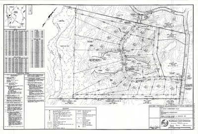
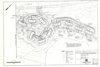
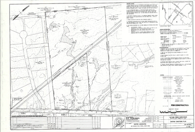
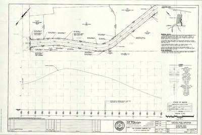
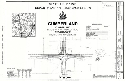
The Town of Cumberland Plans gallery houses a collection of plans and maps of the Town of Cumberland, and exists to gather, preserve, and make available those materials. Materials in the Collection date from the late 19th century to recent times. Types of materials in the collection include subdivision plans, utility maps, planning maps, soil maps, building blueprint sets, and tax/zoning maps.
Printing is not supported at the primary Gallery Thumbnail page. Please first navigate to a specific Image before printing.
-

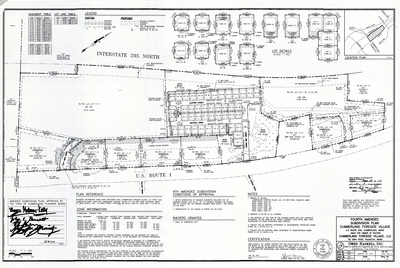
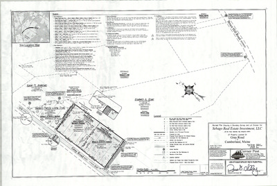
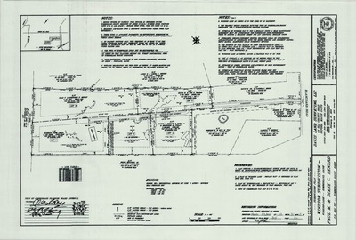
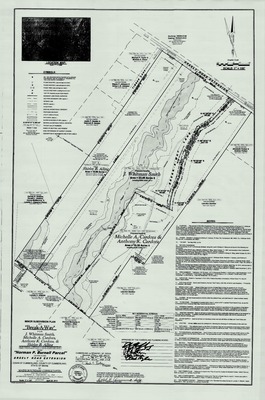
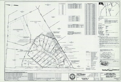
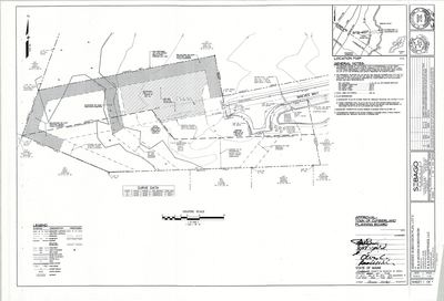
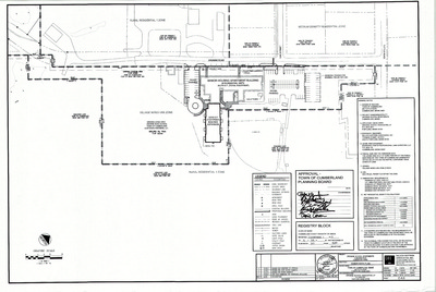
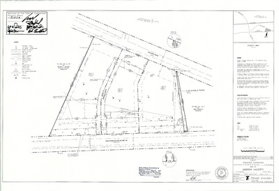
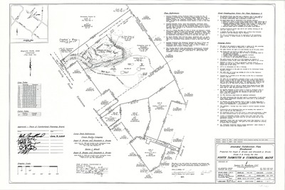
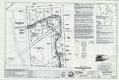
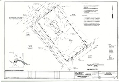
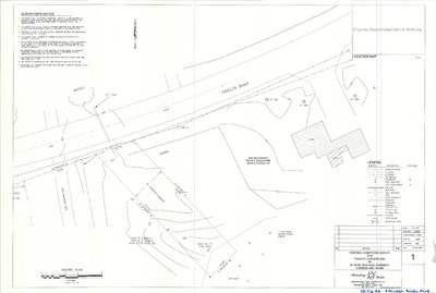
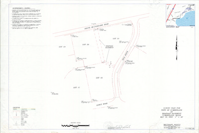
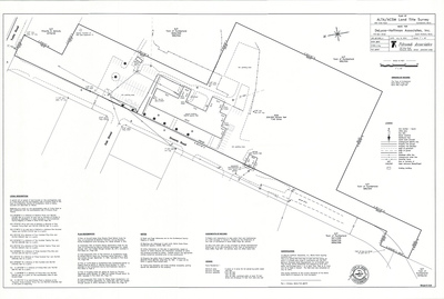
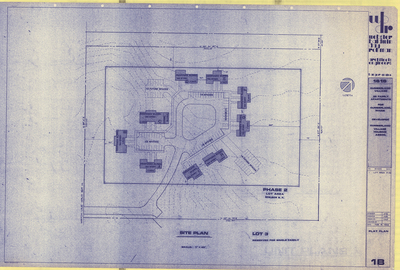
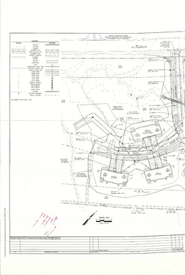
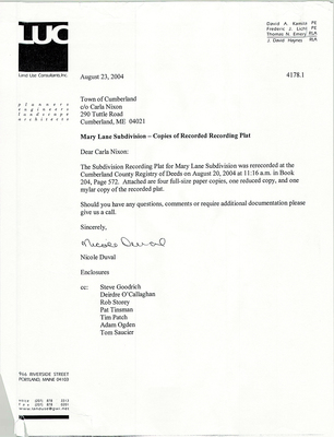
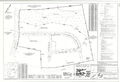
Plan of Cumberland Meadows, Tuttle Road and Meadow Way, Cumberland, Maine, 1984
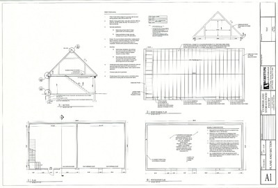
Webster Baldwin Day Rohman and Architects Four


