

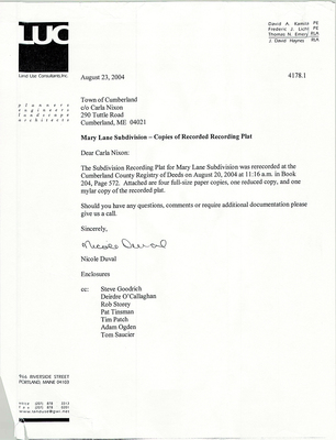
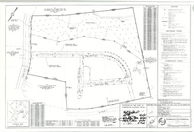
-

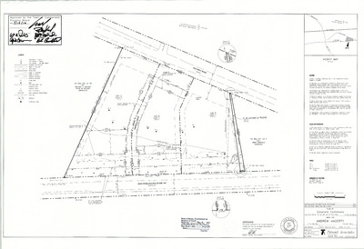
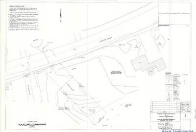
Maine State Highway Commission Right of Way Map, Goose Pond Road, Cumberland, Maine, 1958
Maine State Highway Commission
Maine State Highway Commission Right of Way Map, Goose Pond Road, Cumberland, Maine was created by the Maine State Highway Commission in 1958. Scale 1"=100'.
-

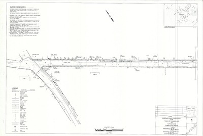
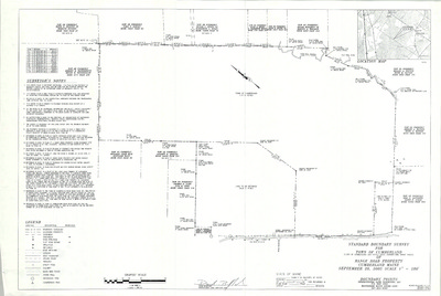
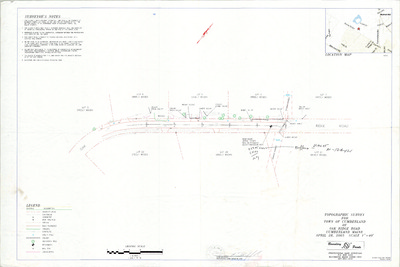
Plan of a Portion of the Greely Road in the Town of Cumberland, Maine, as Redifined by the Commissioners of Cumberland County, 1957
Edward C. Jordan Co., Inc. and Harlan H. Sweetser
-

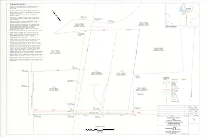
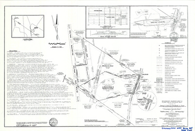
Plan of a Portion of Greely Road, Cumberland, Maine, 1957
H. I. & E. C. Jordan
Plan of a Portion of Greely Road, Cumberland, Maine was created by H. I. & E. C. Jordan in 1957. "As redefined by the Commissioners of the County of Cumberland..." Includes 1976 plan and profile for Kenneth Blanchard.
-

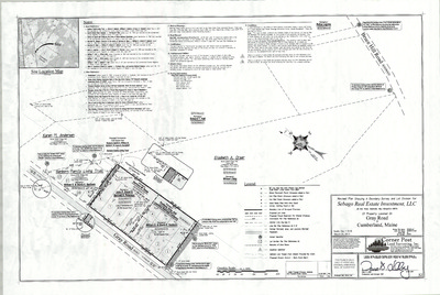
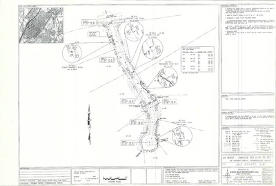
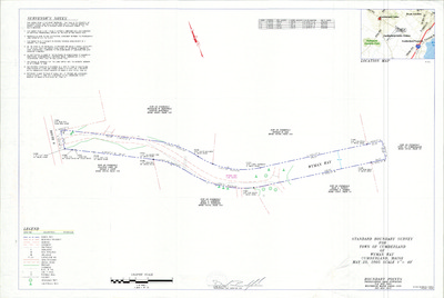
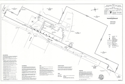
Plan of Property on Sea Cove Road, Cumberland, Maine, 1957
H. I. & E. C. Jordan
Plan of Property on Sea Cove Road, Cumberland, Maine was created by H. I. & E. C. Jordan in 1957.
-

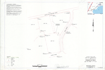
Plan of Greely Institute Addition, Main Street, Cumberland, Maine, 1956
Alonzo J. Harriman Inc.
Plan of Greely Institute Addition, Main Street, Cumberland, Maine was created by Alonzo J. Harriman Inc. in 1956. Scale 1"=8'.
-

Plan of Sea Cove Acres, Foreside Road and Sea Cove Road, Cumberland, Maine, 1954
H. I. & E. C. Jordan
-

Cumberland Center Water Co. Existing Water Works and Proposed Improvements, 1946
Coffin & Richardson, Inc.
Cumberland Center Water Co. Existing Water Works and Proposed Improvements was created by Coffin & Richardson, Inc. in 1946. Scale 1":1000'.
-

Plan of Three Rod Road Change in Location, Cumberland, Maine, 1940
Harlan H. Sweetser
Plan of Three Rod Road Change in Location, Cumberland, Maine was created by Harlan Sweetser in 1940.
-

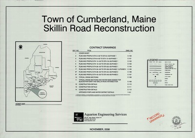
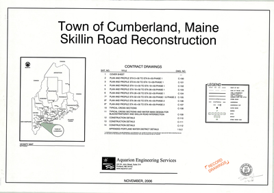
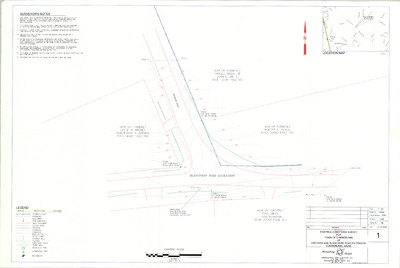
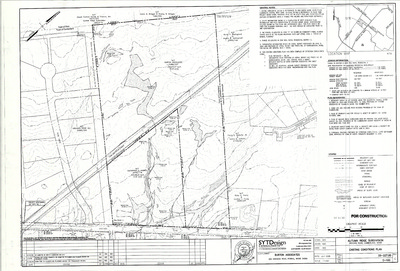
Plan of the Skillin Road, Cumberland, Maine, 1939
Harlan H. Sweetser
Plan of the Skillin Road, Cumberland, Maine was created by Harlan H. Sweetser in 1939. "As redefined and relocated by the Commissioners of Cumberland County."
-

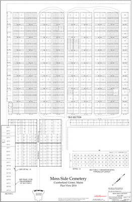
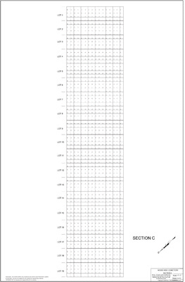
Plan of Moss Side Cemetery, Main Street, Cumberland, Maine, 1937
Harlan H. Sweetser and Sumner S. Lowe
-

Plan of Congregational Cemetery, Main Street, Cumberland, Maine, 1935
Sumner S. Lowe and Harlan H. Sweetser
-

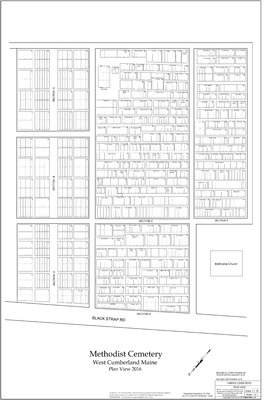
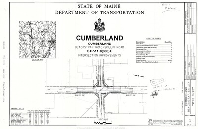
Plan of Methodist Cemetery, Blackstrap Road, Cumberland, Maine, 1935
Sumner S. Lowe and Harlan H. Sweetser
-

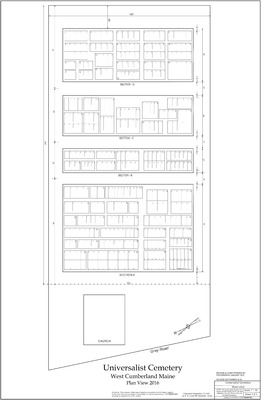
Plan of Universalist Cemetery, Gray Road, Cumberland, Maine, 1935
Sumner S. Lowe and Harlan H. Sweetser
-

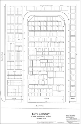
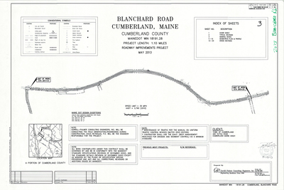
Plan of Farris Cemetery, Blanchard Road, Cumberland, Maine, 1934
Sumner S. Lowe and Harlan H. Sweetser
-

Portland Water District Falmouth and Cumberland Systems, 1933
Portland Water District
Portland Water District Falmouth and Cumberland Systems, Maine was created by Portland Water District in 1933. Scale 1"=1000'.
-

Plan of Tuttle Road, Cumberland, Maine, 1926
W. E. Winslow
Plan of Tuttle Road, Cumberland, Maine was created by W. E. Winslow in 1926. Includes Cumberland Center to Federal Road.
-

Right of Way and Track Map, Maine Central Railroad, Cumberland, Maine, 1916
Maine Central Railroad Company
-

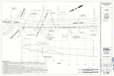
Plan of Middle Road, Cumberland, Maine, 1908
H. W. Foster
Plan of Middle Road, Cumberland, Maine was created by H. W. Foster in 1908. "As relocated by the Commissioners of the County of Cumberland."
-

Plan Showing the Cumberland Center Road as Relocated by the Commissioners of the County of Cumberland, Cumberland, Maine, 1906
H. W. Grant
Plan Showing the Cumberland Center Road as Relocated by the Commissioners of the County of Cumberland, Cumberland, Maine was created by H. W. Grant in 1906.
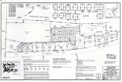
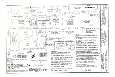
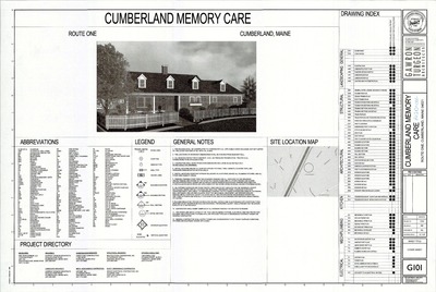
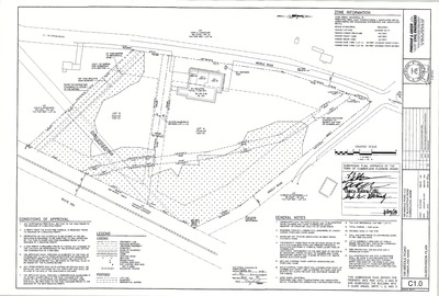
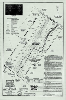
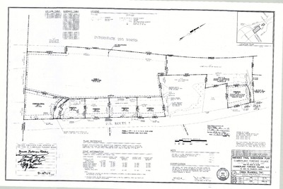
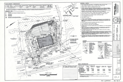
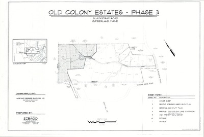
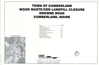
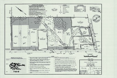
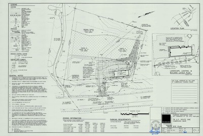
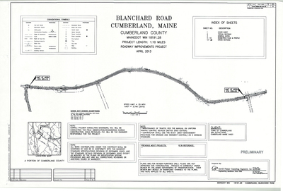
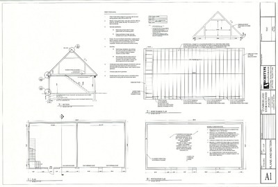
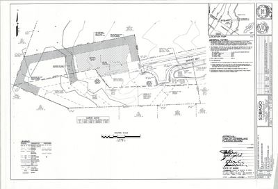
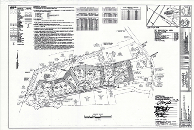
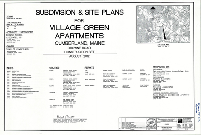
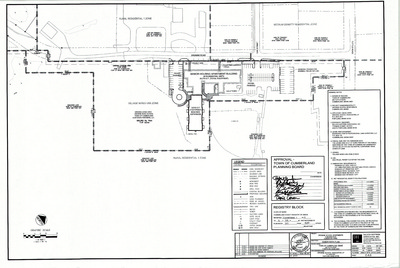
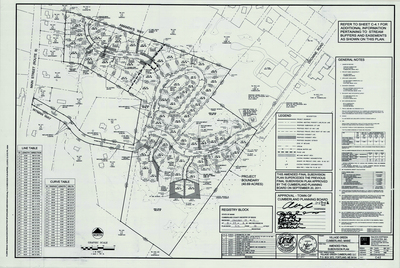
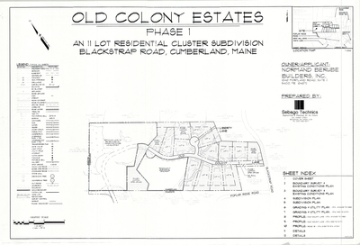
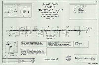
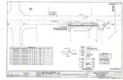
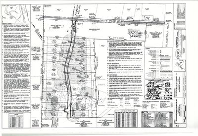
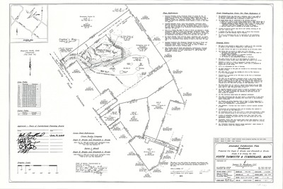
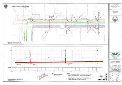
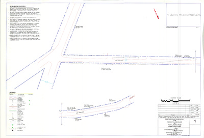
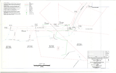
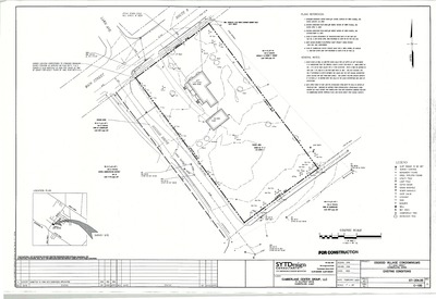
The Town of Cumberland Plans gallery houses a collection of plans and maps of the Town of Cumberland, and exists to gather, preserve, and make available those materials. Materials in the Collection date from the late 19th century to recent times. Types of materials in the collection include subdivision plans, utility maps, planning maps, soil maps, building blueprint sets, and tax/zoning maps.
Printing is not supported at the primary Gallery Thumbnail page. Please first navigate to a specific Image before printing.


