

-

Plan and Profile of Bea Lane, Cumberland, Maine, 1963
Gray Engineering Inc.
Plan and Profile of Bea Lane, Cumberland, Maine was created by Gray Engineering Inc. in 1963.
-

Plan of Cross Street, Cumberland, Maine, 1963
Gray Engineering Inc.
Plan of Cross Street, Cumberland, Maine was created by Gray Engineering Inc. in 1963.
-

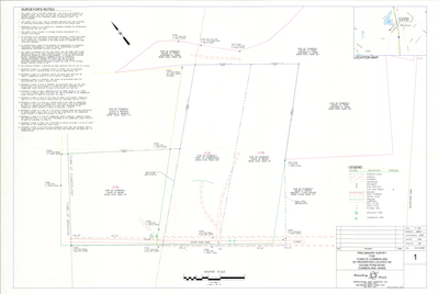
Plan of Kerrydale Vista, Main Street and Karole Lane, Cumberland, Maine, 1963
Gray Engineering, Inc.
-

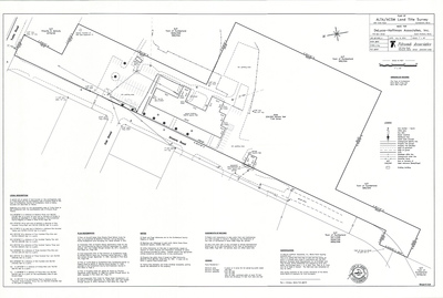
Property Maps, Cumberland, Maine, 1963
John E. O'Donnell & Associates
Property Maps, Cumberland, Maine was created by John E. O'Donnell & Associates in 1963. Scale 1"=100'.
-

Plan of Development for Ernest Frye, Frye Drive, Cumberland, Maine, 1962
C. R. Storer, Inc.
Plan of Development for Ernest Frye, Frye Drive, Cumberland, Maine was created by C. R. Storer, Inc. in 1962.
-

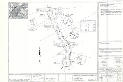
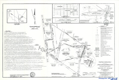
Plan of Stony Ridge Road and Stony Ridge Road Ext., Foreside Road, Cumberland, Maine, 1962-
Edward C. Jordan Co., Inc. and Robert P. Titcomb Inc.
-

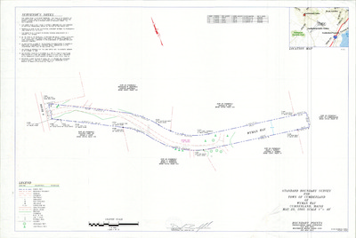
Plan of a Portion of Route 88, Cumberland, Maine, 1962
H. I. & E. C. Jordan
Plan of a Portion of Route 88, Cumberland, Maine was created by H. I. & E. C. Jordan in 1962. "As redefined by the Commissioners of the County of Cumberland."
-

Plan of a Portion of the Bruce Hill Road, Formerly the Abbott Road, Cumberland, Maine, 1962
H. I. & E. C. Jordan
Plan of a Portion of the Bruce Hill Road, Formerly the Abbott Road, Cumberland, Maine was created by H. I. & E. C. Jordan in 1962. “As redefined by the Commissioners of Cumberland County…”
-

Plan of Broad Cove Shores, Broad Cove Way and Foreside Road, Cumberland, Maine, 1960
Edward C. Jordan Co., Inc.
-

Plan of Valley High Subdivision, Main Street and Greely Road, Cumberland, Maine, 1960
Edward C. Jordan Co., Inc.
-

Plan of Buried Cable, Main Street, Cumberland, Maine, 1960
New England Telephone
Plan of Buried Cable, Main Street, Cumberland, Maine was created by New England Telephone in 1960.
-

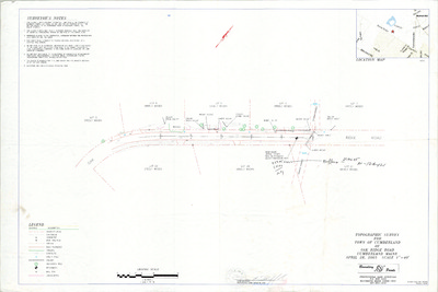
Plan of Intersection of Main Street and Winn Road, Cumberland, Maine, 1959
Edward C. Jordan Co., Inc. and Harlan H. Sweetser
-

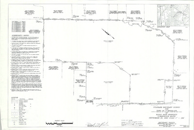
Plan of Survey for Stanley N. Brown, County Road, Cumberland Center, Maine, January 1959
Kibler & Storer, Inc.
-

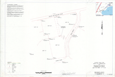
Plan of Hillcrest Acres, Main Street and Hillcrest Drive, Cumberland, Maine, 1959
Kibler & Storer, Inc. and Carl E. Emery
-

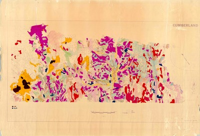
Central Maine Power Profiles and Right of Ways, Cumberland, Maine, 1958
Central Maine Power Co.
Central Maine Power Profiles and Right of Ways, Cumberland, Maine was created by Central Maine Power in 1958. Scale 1"=200'.
-

Plan of Pinewood Acres, Section B, Cumberland, Maine, 1959
Carl E. Emery
Plan of Pinewood Acres, Section B, Cumberland, Maine was created by Carl E. Emery in 1959. Includes 1958 plan of Pinewood Acres.
-

Preliminary General Plan of the Town of Cumberland, 1958
Greater Portland Regional Planning Commission
-

Plan of Shore Meadow, Foreside Road and Shore Meadow Road, Cumberland, Maine, 1958
H. I. & E. C. Jordan
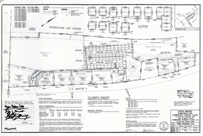
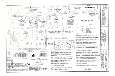
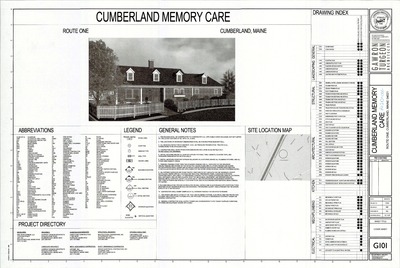
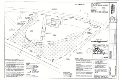
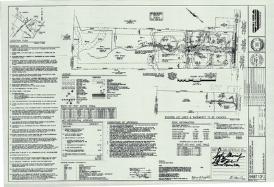
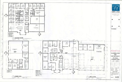
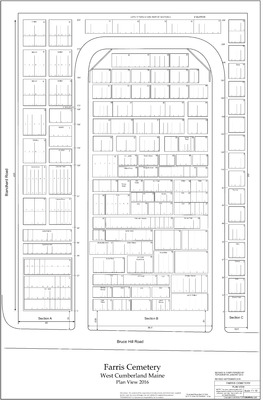
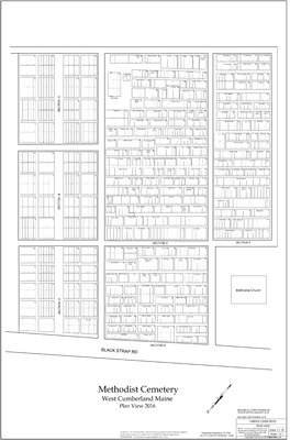
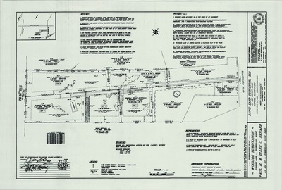
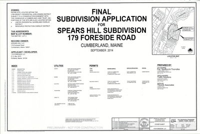
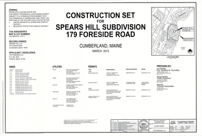
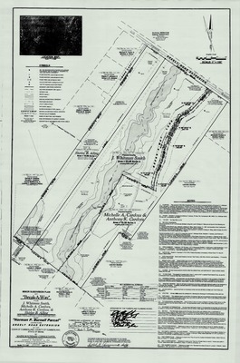
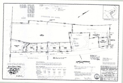
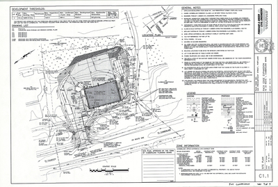
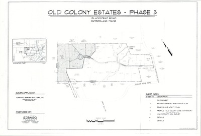
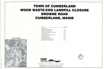
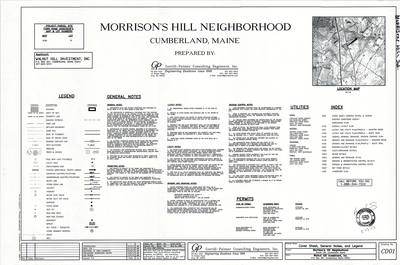
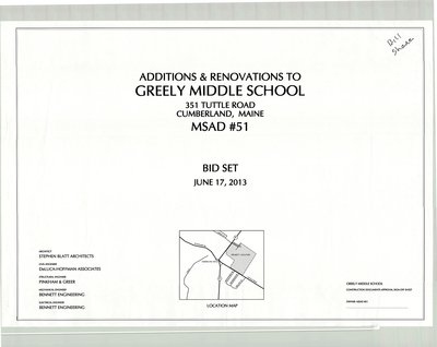
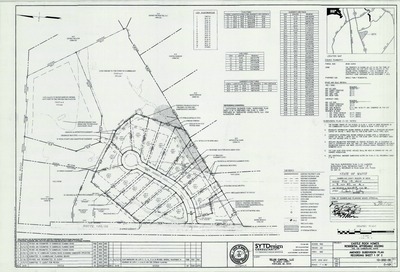
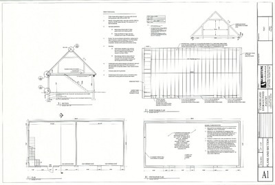
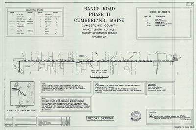
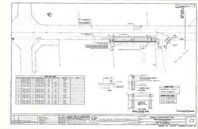
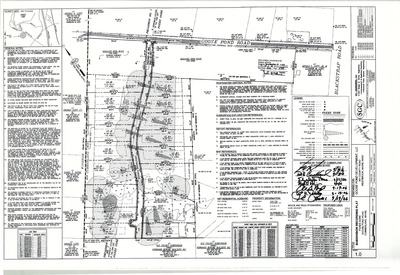
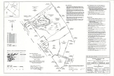
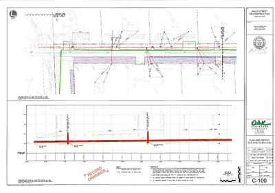
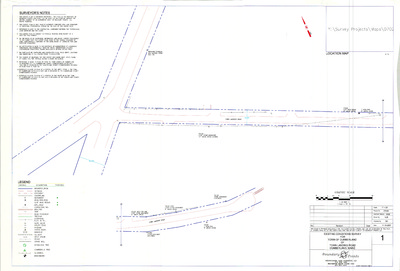
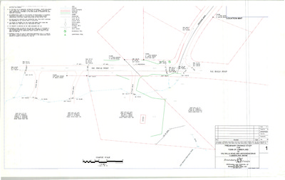
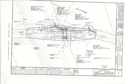
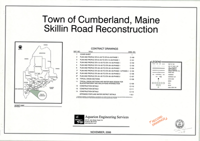
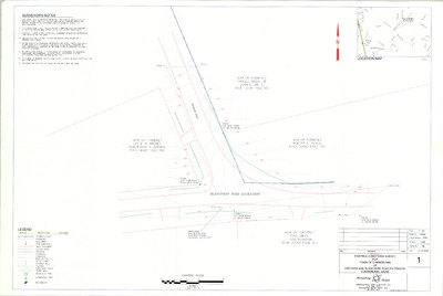
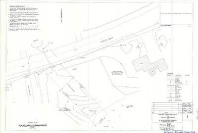
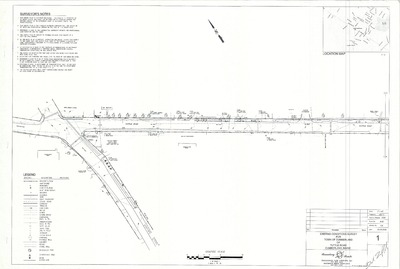
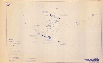
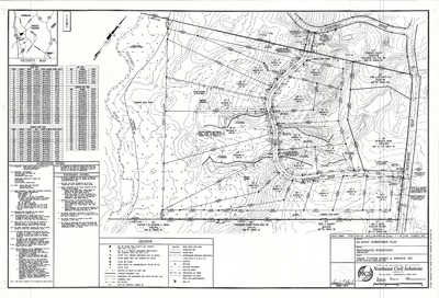
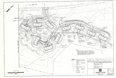
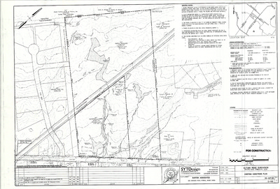
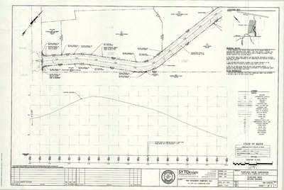
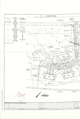
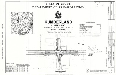
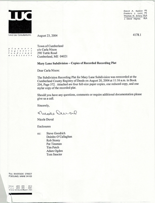
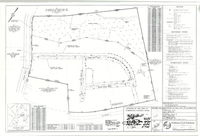
The Town of Cumberland Plans gallery houses a collection of plans and maps of the Town of Cumberland, and exists to gather, preserve, and make available those materials. Materials in the Collection date from the late 19th century to recent times. Types of materials in the collection include subdivision plans, utility maps, planning maps, soil maps, building blueprint sets, and tax/zoning maps.
Printing is not supported at the primary Gallery Thumbnail page. Please first navigate to a specific Image before printing.


