

-

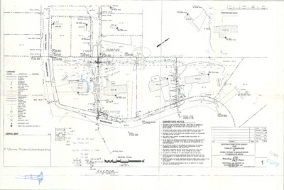
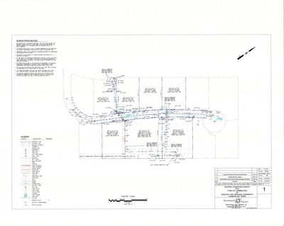
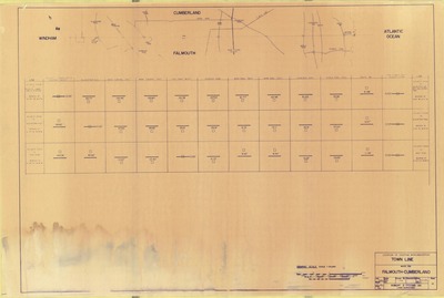
Standard Boundary Survey of Property on Gray Road, Cumberland, Maine, 1999
Titcomb Associates
Standard Boundary Survey of Property on Gray Road, Cumberland, Maine was created by Titcomb Associates in 1999.
-

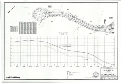
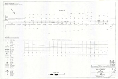
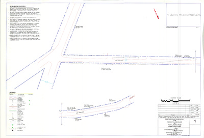
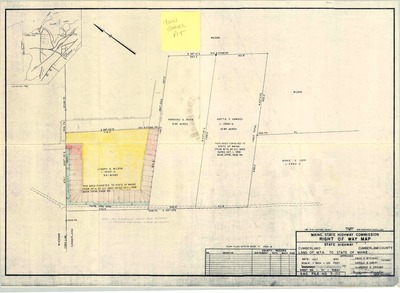
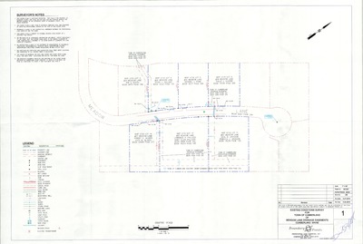
Standard Boundary Survey on Route 100, Cumberland, Maine, 2004
Wayne Wood & Co.
Standard Boundary Survey on Route 100, Cumberland, Maine was created by Wayne Wood & Co. in 2004.
-

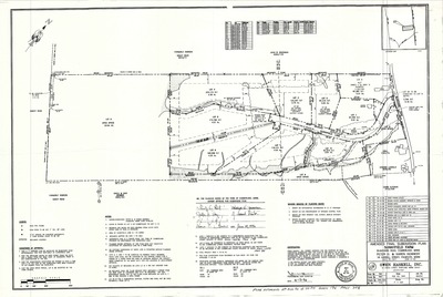
Standard Boundary Survey Plan of Land on Mill Road, Cumberland, Maine, 1986
Daniel T. C. LaPoint
Standard Boundary Survey Plan of Land on Mill Road, Cumberland, Maine was created by Daniel T. C. LaPoint in 1986.
-

Standard Boundary Survey, Stone Wharf Road, Chebeague Island, Maine, 2002
Professional Land Surveying
-

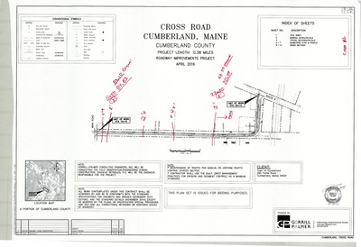
Storm Drain Replacement Plan, Middle Road, Cumberland, Maine, 2015
Pinkham & Greer Consulting Engineers, Inc.
-

Subdivision Plan for Land of Mabel Wilson, Forest Lane, Cumberland, Maine, 1977
D. Bruce Verrill Associates, Inc.
-

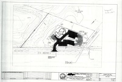
Subdivision Plan of Rockwood Phase IV, U.S. Route 1, Cumberland, Maine, 2004
Northeast Civil Solutions
-

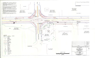
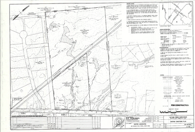
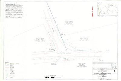
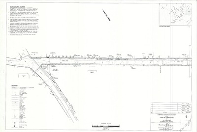
Survey and Site Plan of Expert Lawn & Landscape, Gray Road, Cumberland, Maine, 2002
Engineering Assistance & Design
Survey and Site Plan of Expert Lawn & Landscape, Route 100, Cumberland, Maine was created by Engineering Assistance & Design in 2002. Scale 1"=40'.
-

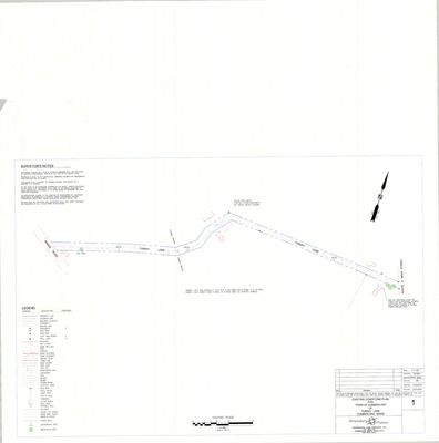
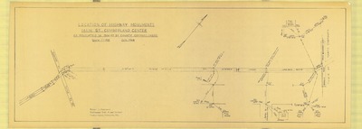
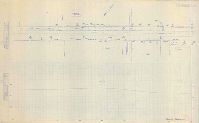
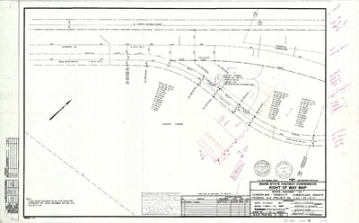
Survey of Blackstrap Road, Cumberland, Maine, 2014
Boundary Points
Survey of Blackstrap Road, Cumberland, Maine was created by Boundary Points in 2014. Scale 1"=25'.
-

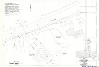
Survey Plan for Chris Axelson and Edward Copp, Greely Road Ext., Cumberland, Maine, 1987
Berry Huff McDonald Milligan, Inc.
Survey Plan for Chris Axelson and Edward Copp, Greely Road Ext., Cumberland, Maine was created by Berry Huff McDonald Milligan, Inc. in 1987.
-

Survey Plan for Chris Axelson and Edward Copp, Greely Road Ext., Cumberland, Maine, 1987
Berry, Huff, McDonald, Milligan, Inc.
-

Survey Plan for Town of Cumberland of Drainage Easement, Foreside Road to Teal Drive, Cumberland, Maine, 2005
Boundary Points
Survey Plan for Town of Cumberland of Drainage Easement, Foreside Road to Teal Drive, Cumberland, Maine was created by Boundary Points in 2005.
-

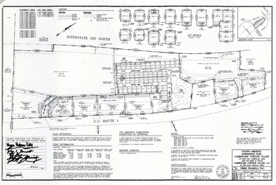
Third Amended Final Subdivision Plan, Village Green, Cumberland, Maine, 2017
Stantec Consulting Services Inc.
-

Third Amended Final Subdivision Plan, Wyman Way, Village Green, Cumberland, 2018
Stantec Consulting Services, Inc.
-

Third Amended Subdivision Plan, Wyman Way, Village Green, Cumberland, 2018
Stantec Consulting Services, Inc.
-

Topographic Survey for the Town of Cumberland of Oak Ridge Road, Cumberland, Maine, 2005
Boundary Points
Topographic Survey for the Town of Cumberland of Oak Ridge Road, Cumberland, Maine was created by Boundary Points in 2005.
-

Town of Cumberland Comprehensive Plan Overlays, Cumberland, Maine, 1989
Greater Portland Council of Governments
Town of Cumberland Comprehensive Plan Overlays, Cumberland was created by Greater Portland Council of Governments in 1989. Scale 1"=2000'.
-

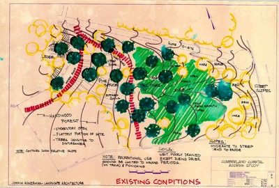
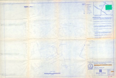
Town of Cumberland Open Space Plan, Cumberland, Maine, 1999
Cumberland Planning Department
Town of Cumberland Open Space Plan, Cumberland, Maine was created by the Cumberland Planning Department in 1999. Scale varies.
-

Town of Cumberland Open Space Plan, Draft Working Base Map, Cumberland, Maine, 1999
Greater Portland Council of Governments
Town of Cumberland Open Space Plan, Draft Working Base Map, Cumberland, Maine was created by the Greater Portland Council of Governments in cooperation with the Town of Cumberland Planning Department in 1999. Scale 1"=1000'.
-

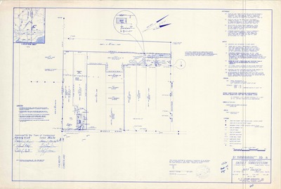
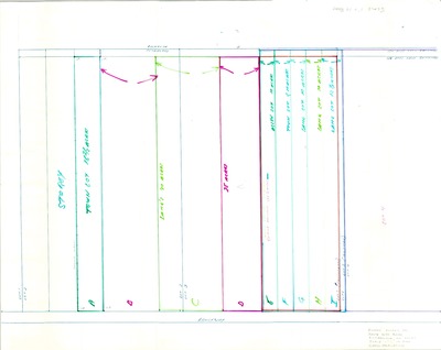
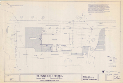
Town of Cumberland Wood Waste/CDD Landfill Closure, Drowne Road, Cumberland, Maine, 2014
Sevee & Maher Engineers, Inc.
Town of Cumberland Wood Waste/CDD Landfill Closure, Drowne Road, Cumberland, Maine was created by Sevee & Maher Engineers, Inc. in 2014. Scale 1"=20'.
-

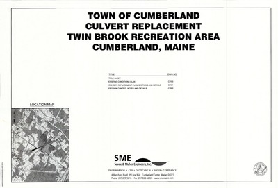
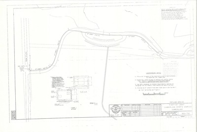
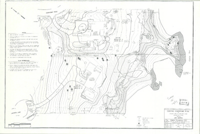
Twin Brook Recreation Area, Overall Site Plan, Cumberland, Maine, 2007
Sevee & Maher Engineers, Inc.
-

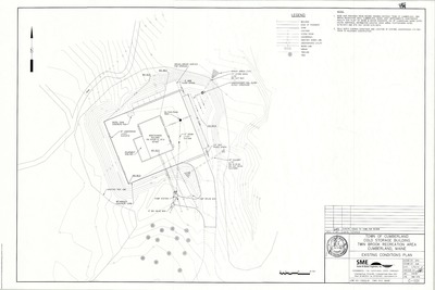
Twin Brook Recreation Area, Wetland Preservation Area, Cumberland, Maine, 2007
Sevee & Maher Engineers, Inc.
-

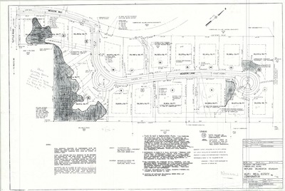
Windsor Subdivision Plan, Oxford Lane and Windsor Lane, Cumberland, Maine, 2016
Davis Land Surveying, LLC.
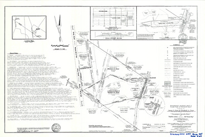
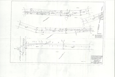
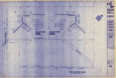
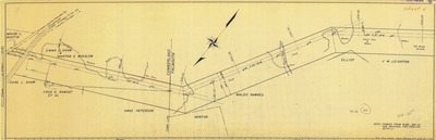
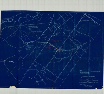
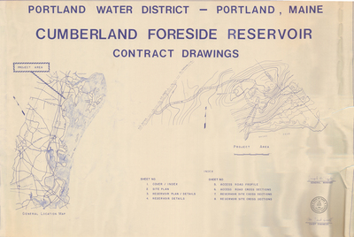
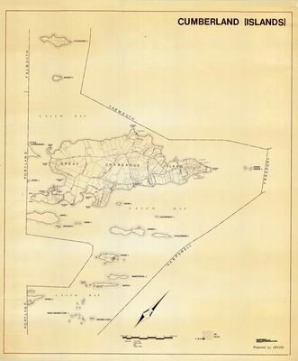
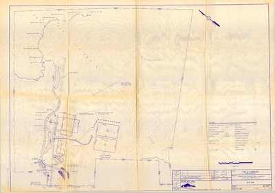
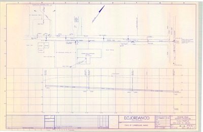
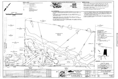
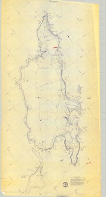
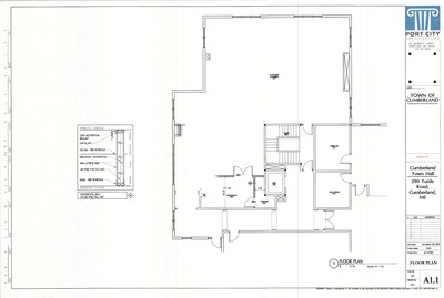
The Town of Cumberland Plans gallery houses a collection of plans and maps of the Town of Cumberland, and exists to gather, preserve, and make available those materials. Materials in the Collection date from the late 19th century to recent times. Types of materials in the collection include subdivision plans, utility maps, planning maps, soil maps, building blueprint sets, and tax/zoning maps.
Printing is not supported at the primary Gallery Thumbnail page. Please first navigate to a specific Image before printing.


")


")


")

