

-

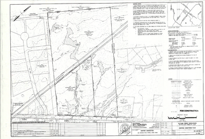
Plan of Rockwood, Phase 1, 2 and 3, Cumberland, Maine, 2002
SYTDesign Consultants
Plan of Rockwood, Phase 1, 2 and 3, Cumberland, Maine, was created by SYTDesign Consultants in 2002.
-

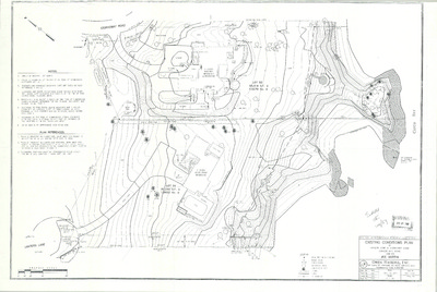
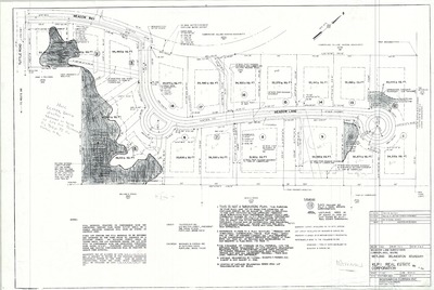
Plan of Rockwood, Phase IV, Cumberland, Maine, 2005
Northeast Civil Solutions
Plan of Rockwood, Phase IV, Cumberland, Maine, was created by Northeast Civil Solutions in 2005.
-

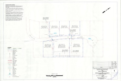
Plan of Rockwood Project Phase 2, U.S. Route 1, Cumberland, Maine, 2004
Price Structural Engineers, Inc.
-

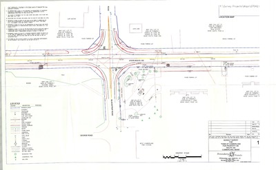
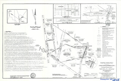
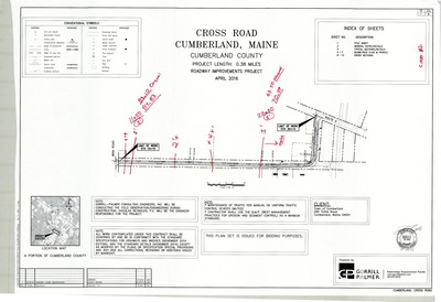
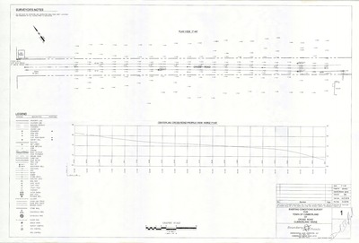
Plan of Route 100 Improvements, Revised Curb/Pavement Plan, Cumberland, Maine, 2009
Gorrill-Palmer Consulting Engineers, Inc.
Plan of Route 100 Improvements, Revised Curb/Pavement Plan, Cumberland, Maine was created by Gorrill-Palmer Consulting Engineers, Inc. in 2009. Scale 1"=25'.
-

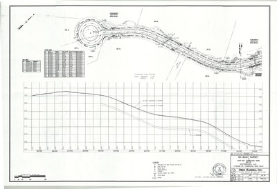
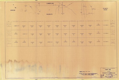
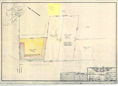
Plan of Route 1, Falmouth and Cumberland, Maine, 1989
MaineDepartment of Transportation
Plan of Route 1, Falmouth and Cumberland, Maine was created by Maine Dept. of Transportation in 1989.
-

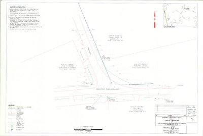
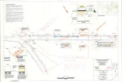
Plan of Route 88 and Tuttle Road Roadway Reconstruction and Widening Project, Cumberland, Maine, 2009
Gorrill-Palmer Consulting Engineers, Inc.
Plan of Route 88 and Tuttle Road Roadway Reconstruction and Widening Project, Cumberland, Maine was created by Gorrill-Palmer Consulting Engineers, Inc. in 2009. Scale varies.
-

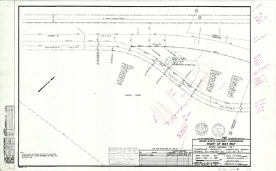
Plan of Route 88, Falmouth and Cumberland, Maine, 1992
MaineDepartment of Transportation
Plan of Route 88, Falmouth and Cumberland, Maine was created by Maine Dept. of Transportation in 1992.
-

Plan of Schooner Ridge, Route 88 and Schooner Ridge Road, Cumberland, Maine, 1984
Owen Haskell, Inc. and Hunter Ballew Associates
Plan of Schooner Ridge, Route 88 and Schooner Ridge Road, Cumberland, Maine, was created by Owen Haskell, Inc. and Hunter Ballew Associates in 1984.
-

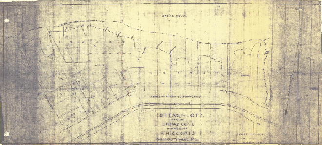
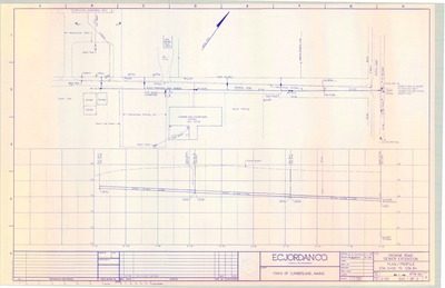
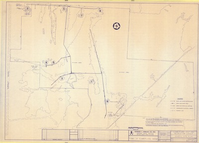
Plan of Sea Cove Acres, Foreside Road and Sea Cove Road, Cumberland, Maine, 1954
H. I. & E. C. Jordan
-

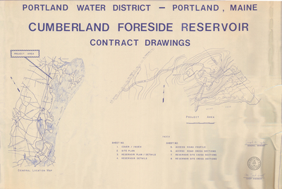
Plan of Sewer Trench and Sewer Manhole Details, Portland Water District, Maine
Portland Water District
Plan of Sewer Trench and Sewer Manhole Details, Portland Water District, Maine was created by Portland Water District.
-

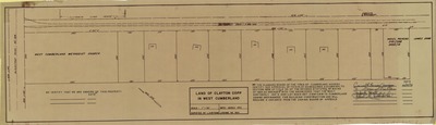
Plan of Shore Meadow, Foreside Road and Shore Meadow Road, Cumberland, Maine, 1958
H. I. & E. C. Jordan
-

Plan of Skillin Road Reconstruction, Cumberland, Maine, 2006
Aquarion Engineering Services
Plan of Skillin Road Reconstruction, Cumberland, Maine was created by Aquarion Engineering Services in 2006. Scale Horizontal: 1"=20ft Vertical: 1"=4'.
-

Plan of Solar Way Subdivision, Hillside Avenue and Solar Way, Cumberland, Maine, 2016
Pinkham & Greer Civil Engineers
-

Plan of Stockholm Heirs Subdivision, Main Street, Cumberland, Maine, 2003
SYTDesign Consultants
Plan of Stockholm Heirs Subdivision, Main Street, Cumberland, Maine was created by SYTDesign Consultants in 2003. Scale 1"=60'.
-

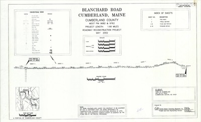
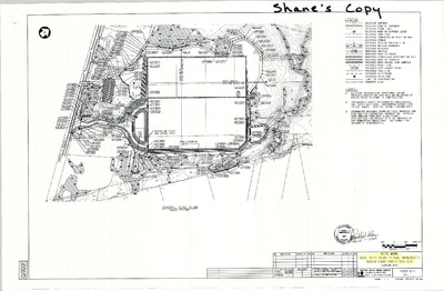
Plan of Stonegate Estates, Blanchard Road Extension, Cumberland, Maine, 1999
Sebago Technics
Plan of Stonegate Estates, Blanchard Road Extension, Cumberland, Maine was created by Sebago Technics in 1999. Scale 1"=100'.
-

Plan of Stony Ridge Road and Stony Ridge Road Ext., Foreside Road, Cumberland, Maine, 1962-
Edward C. Jordan Co., Inc. and Robert P. Titcomb Inc.
-

Plan of Stony Ridge Road Extension, Cumberland, Maine, 1984
R. P. Titcomb Associates
Plan of Stony Ridge Road Extension, Cumberland, Maine was created by R. P. Titcomb Associates in 1984.
-

Plan of Stornoway, Foreside Road, Cumberland, Maine, 1969
Edward C. Jordan Co., Inc.
Plan of Stornoway, Foreside Road, Cumberland, Maine was created by Edward C. Jordan Co., Inc. in 1969. Scale 1"=60'.
-

Plan of Sturdivant Road, Cumberland, Maine, 1963
Edward C. Jordan Co., Inc.
Plan of Sturdivant Road, Cumberland, Maine was created by Edward C. Jordan Co., Inc. in 1963.
-

Plan of Subsurface Exploration, Cart Road, Cumberland, Maine, 1972
Edward C. Jordan Co, Inc.
Plan of Subsurface Exploration, Cart Road, Cumberland, Maine was created by Edward C. Jordan Co, Inc. in 1972.
-

Plan of Sunnyfield Farm, Blanchard Road, Cumberland, Maine, 1997
Owen Haskell, Inc.
Plan of Sunnyfield Farm, Blanchard Road, Cumberland, Maine was created by Owen Haskell, Inc. in 1997. Scale 1"=100'.
-

Plan of Survey for Stanley N. Brown, County Road, Cumberland Center, Maine, January 1959
Kibler & Storer, Inc.
-

Plan of Tall Pines Estate, Tuttle Road and Harris Road, Cumberland, Maine, 1981
Professional Land Services
-

Plan of The Common of Cumberland, Tuttle Road, Cumberland, Maine, 1995
Stevens Morton Rose & Thompson
Plan of The Common of Cumberland, Tuttle Road, Cumberland, Maine was created by Stevens Morton Rose & Thompson in 1995. Scale 1"=100'.
-

Plan of The Commons at Cumberland, Cumberland, Maine, 1990
Stevens Morton Rose & Thompson
Plan of The Commons at Cumberland, Cumberland, Maine was created by Stevens Morton Rose & Thompson in 1990.
-

Plan of the Leroy Stratton Property on Methodist Road, Cumberland, Maine, 1973
A. W. I. Engineering Co.
Plan of the Leroy Stratton Property on Methodist Road, Cumberland, Maine was created by A. W. I. Engineering Co. in 1973.
-

Plan of the Sanctuary Subdivision, Foreside Road, Cumberland, Maine, 1986
Edward C. Jordan Co., Inc. and Land Use Consultants
-

Plan of the Skillin Road, Cumberland, Maine, 1939
Harlan H. Sweetser
Plan of the Skillin Road, Cumberland, Maine was created by Harlan H. Sweetser in 1939. "As redefined and relocated by the Commissioners of Cumberland County."
-

Plan of Three Rod Road Change in Location, Cumberland, Maine, 1940
Harlan H. Sweetser
Plan of Three Rod Road Change in Location, Cumberland, Maine was created by Harlan Sweetser in 1940.
-

Plan of Toddle Inn Daycare and Nursery, Thomas Drive, Cumberland, Maine, 2001
Sebago Technics
Plan of Toddle Inn Daycare and Nursery, Thomas Drive, Cumberland, Maine was created by Sebago Technics in 2001. Scale 1"=30'.
-

Plan of Towne Square Shopping Center, Tuttle Road, Cumberland, Maine, 1972
Kara Realty Trust Developer
-

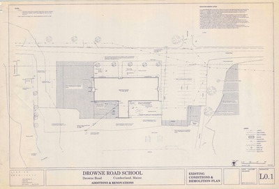
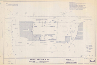
Plan of Town of Cumberland Public Works Storage Building, Drowne Road, Cumberland, Maine, 1991
Scott W. Cowger
Plan of Town of Cumberland Public Works Storage Building, Drowne Road, Cumberland, Maine was created by Scott W Cowger in 1991. Includes Dahlgren Construction plan of recycling building.
-

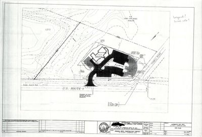
Plan of True Spring Farm, U.S. Route 1, Cumberland, Maine, 1999
Sebago Technics
Plan of True Spring Farm, U.S. Route 1, Cumberland, Maine was created by Sebago Technics in 1999. Scale 1"=150'/ 1"=60'.
-

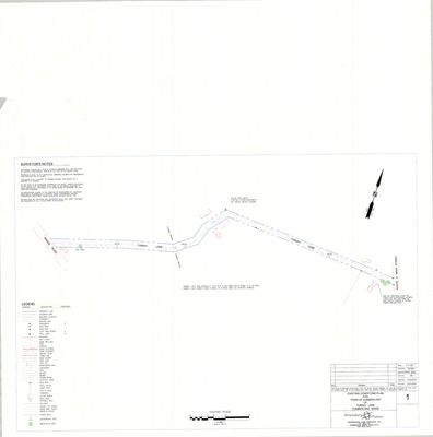
Plan of Turkey Lane Survey, Cumberland, Maine, 2005
Boundary Points
Road Survey for Town of Cumberland of Turkey Lane, Cumberland, Maine was created by Boundary Points in 2005.
-

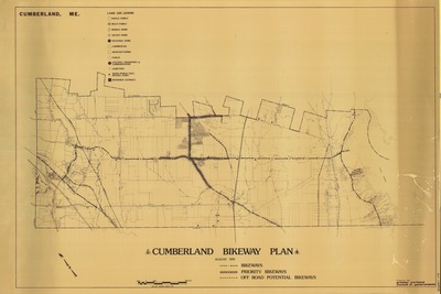
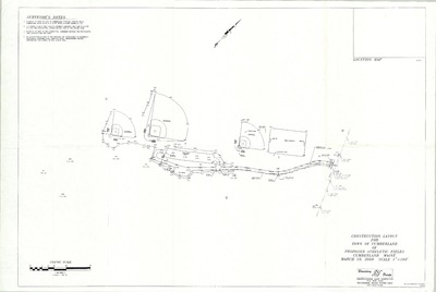
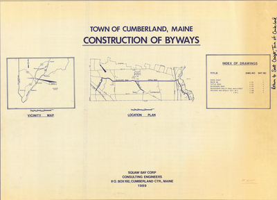
Plan of Tuttle Road Bike Route, Cumberland, Maine, 1996
Squaw Bay Corp
Plan of Tuttle Road Bike Route, Cumberland, Maine was created by Squaw Bay Corp in 1996. Scale 1"=50'.
-

Plan of Tuttle Road, Cumberland, Maine, 1926
W. E. Winslow
Plan of Tuttle Road, Cumberland, Maine was created by W. E. Winslow in 1926. Includes Cumberland Center to Federal Road.
-

Plan of Tuttle Road United Methodist Church Expansion Project, Tuttle Road, Cumberland, Maine, 1992
Wilbur R. Ingalls Jr.
Plan of Tuttle Road United Methodist Church Expansion Project, Tuttle Road, Cumberland, Maine was created by Wilbur R. Ingalls, Jr. AIA in 1992. Scale 1"=40'.
-

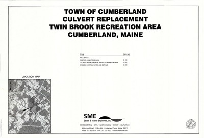
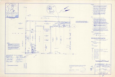
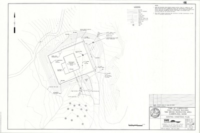
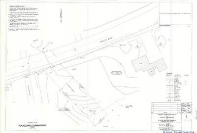
Plan of Twin Brook Recreation Area Improvements, Tuttle Road, Cumberland, Maine, 2007
Sevee & Maher Engineers, Inc.
Plan of Twin Brook Recreation Area Improvements, Tuttle Road, Cumberland, Maine was created by Sevee & Maher Engineers, Inc. in 2007. Scale varies.
-

Plan of Universalist Cemetery, Gray Road, Cumberland, Maine, 1935
Sumner S. Lowe and Harlan H. Sweetser
-

Plan of Valley High Subdivision, Main Street and Greely Road, Cumberland, Maine, 1960
Edward C. Jordan Co., Inc.
-

Plan of Valley Road Cluster Subdivision, Cumberland, Maine, 1996
Barry Huff McDonald Milligan, Inc.
Plan of Valley Road Cluster Subdivision, Cumberland, Maine was created by Barry Huff McDonald Milligan, Inc. in 1996. Includes 1984 "revision to the final plat of the Stanley N. Brown subdivision…"
-

Plan of Valley Road Cluster Subdivision, Valley Road, Cumberland, Maine, 1997
Moulton Development, LTD.
Plan of Valley Road Cluster Subdivision, Valley Road, Cumberland, Maine was created by Moulton Development, LTD. in 1997. Scale 1"=100'.
-

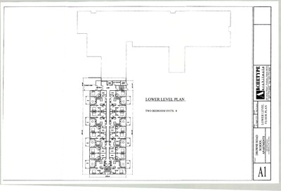
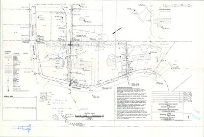
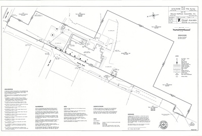
Plan of Village Green Apartments, Drowne Road, Cumberland, Maine, 2012
DeLuca-Hoffman Associates, Inc.
Plan of Village Green Apartments, Drowne Road, Cumberland, Maine was created by DeLuca-Hoffman Associates, Inc. in 2012. Scale 1"=20'.
-

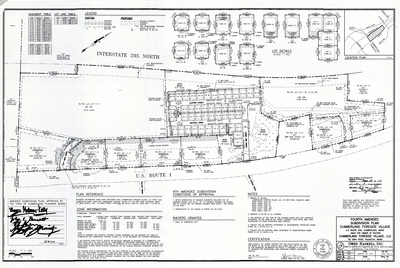
Plan of Village Green, Drowne Road, Cumberland, Maine, 2011
DeLuca-Hoffman Associates, Inc.
Plan of Village Green, Drowne Road, Cumberland, Maine was created by DeLuca-Hoffman Associates, Inc. in 2011. Scale 1"=100'.
-

Plan of Water Main, Frye Drive, Cumberland, Maine, 1991
C.R. Storer, Inc.
Plan of Water Main, Frye Drive, Cumberland, Maine was created by C.R. Storer, Inc. in 1991. Scale 1"=20'.
-

Plan of Westbranch, Blanchard Road, Cumberland, Maine, 2002
Northeast Civil Solutions
Plan of Westbranch, Blanchard Road, Cumberland, Maine was created by Northeast Civil Solutions in 2002. Scale 1"=100'.
-

Plan of Westbranch Road Subdivision, Cumberland, Maine, 2005
Northeast Civil Solutions
Plan of Westbranch Road Subdivision, Cumberland, Maine was created by Northeast Civil Solutions in 2005.
-

Plan of West Cumberland Ball Field, Blackstrap Road, Cumberland, Maine, 2002
Gorrill-Palmer Consulting Engineers, Inc.
Plan of West Cumberland Ball Field, Blackstrap Road, Cumberland, Maine was created by Gorrill-Palmer Consulting Engineers, Inc. in 2002.
-

Plan of West Cumberland Business Park, Blackstrap Road, Cumberland, Maine, 2011
B.R. Property LLC
Plan of West Cumberland Business Park, Blackstrap Road, Cumberland, Maine was created by B.R. Property LLC in 2011. Scale 1"=100'.
-

Plan of West Cumberland Gravel Pit, Cumberland, Maine, 1993
Squaw Bay Corp.
Plan of West Cumberland Gravel Pit, Cumberland, Maine was created by Squaw Bay Corp. in 1993.
-

Plan of Westridge Subdivision, Greely Road and Shady Run Lane, Cumberland, Maine, 1989
Sebago Technics, Inc.
-

Plan of Westridge Subdivision, Shady Run Lane, Cumberland, Maine, 1987
Sebago Technics, Inc.
Plan of Westridge Subdivision, Shady Run Lane, Cumberland, Maine, was created by Sebago Technics, Inc. in 1987.
-

Plan of Whitney Farm Estates, Cumberland, Maine, 1987
Deluca-Hoffman Associates, Inc.
Plan of Whitney Farm Estates, Cumberland, Maine was created by Deluca-Hoffman Associates, Inc. in 1987.
-

Plan of Wildwood Storm Drainage, Cumberland, Maine, 1987
T. Y. Lin International and Hunter Ballew Associates
Plan of Wildwood Storm Drainage, Cumberland, Maine was created by T. Y. Lin International and Hunter Ballew Associates in 1987.
-

Plan of Windsor, Blanchard Road, Cumberland, Maine, 2015
Davis Land Surveying, LLC
Plan of Windsor, Blanchard Road, Cumberland, Maine was created by Davis Land Surveying, LLC in 2015. Scale 1"=100'.
-

Plan of Windy Knolls, Greely Road and Mere Wind Drive, Cumberland, Maine, 1987
R. P. Titcomb Associates Inc.
-

Plan of Windy Knolls Subdivision, Cumberland, Maine, 1991
Titcomb Associates
Plan of Windy Knolls Subdivision, Cumberland, Maine was created by Titcomb Associates in 1991.
-

Plan of Woodland Development, Cumberland, Maine, 1970
Gray Engineering Inc.
Plan of Woodland Development, Cumberland, Maine was created by Gray Engineering Inc. in 1970. Includes plans from 1966 and 1968.
-

Plan of Woodland Development, Greely Road and Crystal Lane, Cumberland, Maine, 1966
Gray Engineering, Inc.
-

Plan of Young/Maher Subdivision, Main Street, Cumberland, Maine, 1990
Peter M. Maher and David W. Young
-

Plans and Profiles of Island View Drive and Ebb Tide Drive, Cumberland, Maine, 1967
C. R. Storer, Inc.
Plan of Island View Drive and Ebb Tide Drive, Cumberland, Maine was created by C. R. Storer, Inc. in 1967.
-

Plan Showing the Cumberland Center Road as Relocated by the Commissioners of the County of Cumberland, Cumberland, Maine, 1906
H. W. Grant
Plan Showing the Cumberland Center Road as Relocated by the Commissioners of the County of Cumberland, Cumberland, Maine was created by H. W. Grant in 1906.
-

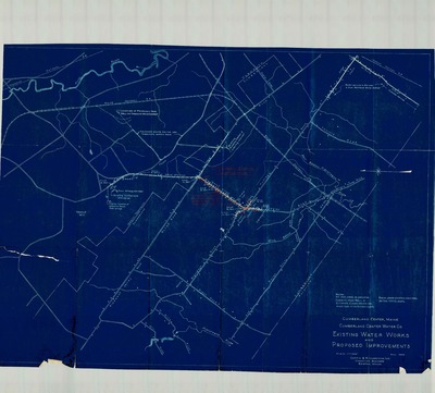
Portland Water District Falmouth and Cumberland Systems, 1933
Portland Water District
Portland Water District Falmouth and Cumberland Systems, Maine was created by Portland Water District in 1933. Scale 1"=1000'.
-

Portland Water District Plan of Water System, Cumberland, Maine, 1993
Portland Water District
Portland Water District Plan of Water System, Cumberland, Maine was created by Portland Water District in 1993. Scale 1"=1000'.
-

Preliminary Drainage Study for Town of Cumberland of Val Halla Road and Hedgerow Drive, Cumberland, Maine, 2007
Boundary Points
Preliminary Drainage Study for Town of Cumberland of Val Halla Road and Hedgerow Drive, Cumberland, Maine was created by Boundary Points in 2007.
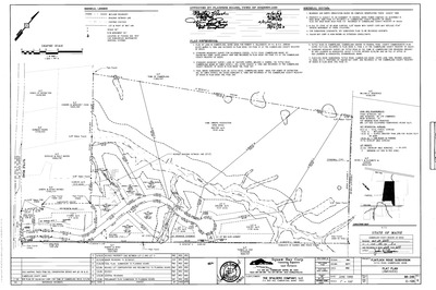
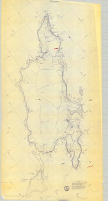
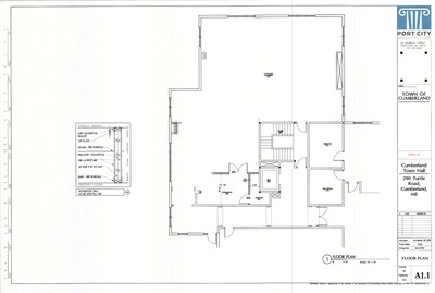
The Town of Cumberland Plans gallery houses a collection of plans and maps of the Town of Cumberland, and exists to gather, preserve, and make available those materials. Materials in the Collection date from the late 19th century to recent times. Types of materials in the collection include subdivision plans, utility maps, planning maps, soil maps, building blueprint sets, and tax/zoning maps.
Printing is not supported at the primary Gallery Thumbnail page. Please first navigate to a specific Image before printing.


")


