

-

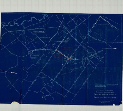
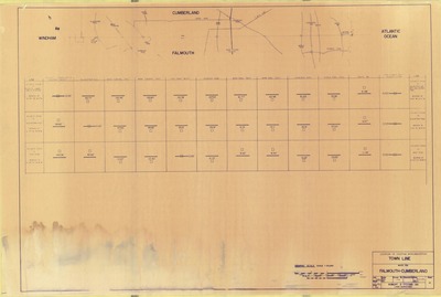
Preliminary General Plan of the Town of Cumberland, 1958
Greater Portland Regional Planning Commission
-

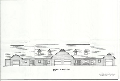
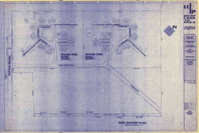
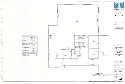
Preliminary Plan of Cumberland Fire Station, Tuttle Road, Cumberland, Maine, 2016
Port City Architecture
Preliminary Plan of Cumberland Fire Station, Tuttle Road, Cumberland, Maine was created by Port City Architecture in 2016.
-

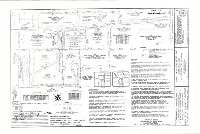
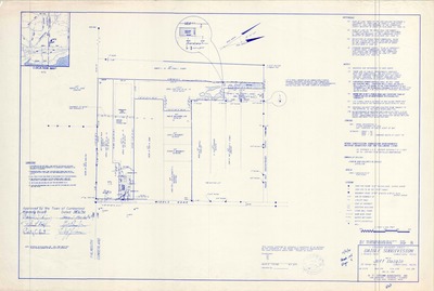
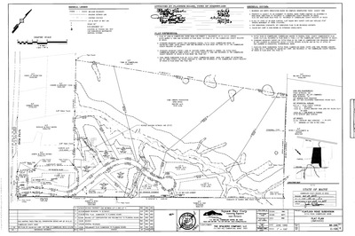
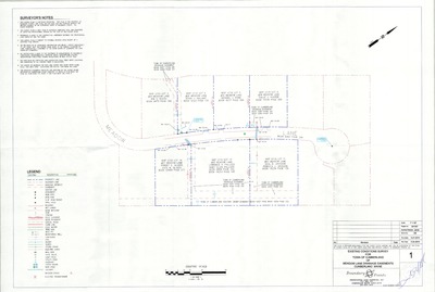
Preliminary Survey for Town of Cumberland of Properties Located on Goose Pond Road, Cumberland, Maine, 2006
Boundary Points
Preliminary Survey for Town of Cumberland of Properties Located on Goose Pond Road, Cumberland, Maine was created by Boundary Points in 2006.
-

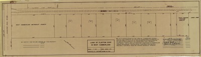
Profile of Kathy Lane, Cumberland, Maine, 1964
C. R. Storer, Inc.
Profile of Kathy Lane, Cumberland, Maine was created by C. R. Storer, Inc. in 1964.
-

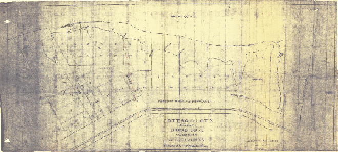
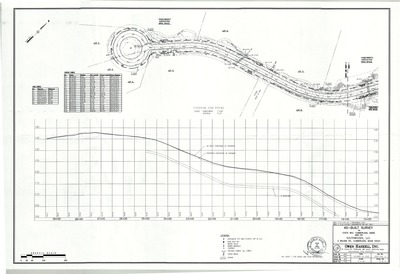
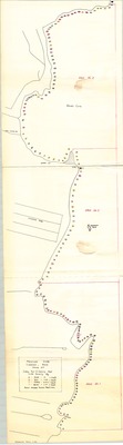
Profile of Surrey Lane, Foreside Meadows, Cumberland, Maine, 1965
Owen Haskell, Inc.
Profile of Surrey Lane, Foreside Meadows, Cumberland, Maine was created by Owen Haskell, Inc. in 1965.
-

Profile of Thomas Drive, As Built, Cumberland, Maine, 2005
Back Bay Boundary, Inc.
Profile of Thomas Drive, As Built, Cumberland, Maine was created by Back Bay Boundary, Inc. in 2005.
-

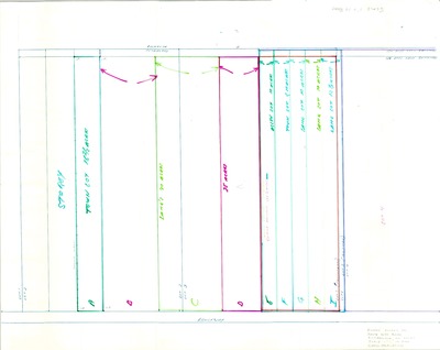
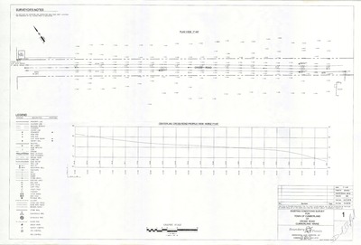
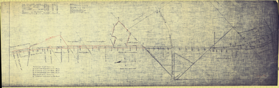
Profiles of Roads, Schooner Rocks, Cumberland, Maine, 1965
Owen Haskell, Inc.
Profiles of Roads, Schooner Rocks, Cumberland, Maine was created by Owen Haskell, Inc. in 1965.
-
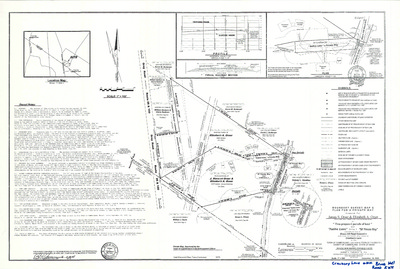
, Cumberland, Maine, 1969 by Robert G. Blanchard")
Property Line Map, Wilson Mill Bridge, Skillings Road (State Aid Hwy. 4), Cumberland, Maine, 1969
Robert G. Blanchard
Property Line Map, Wilson Mill Bridge, Skillings Road (State Aid Hwy. 4), Cumberland, Maine was created by Robert G. Blanchard in 1969.
-

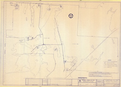
Property Maps, Cumberland, Maine, 1963
John E. O'Donnell & Associates
Property Maps, Cumberland, Maine was created by John E. O'Donnell & Associates in 1963. Scale 1"=100'.
-

Property Maps, Cumberland, Maine, 1965
John E. O'Donnell & Associates
Property Maps, Cumberland, Maine was created by John E. O'Donnell & Associates in 1965. Scale 1"=500'/1"=100'.
-

Property Maps, Cumberland, Maine, 1971
John E. O'Donnell & Associates
Property Maps, Cumberland, Maine was created by John E. O'Donnell & Associates in 1971. Scale 1"=100'.
-

Property Maps, Cumberland, Maine, 1976
John E. O'Donnell & Associates
Property Maps, Cumberland, Maine was created by John E. O'Donnell & Associates in 1976. Scale 1"=100'.
-

Property Maps, Cumberland, Maine, 1996
John E. O'Donnell & Associates
Property Maps, Cumberland, Maine was created by John E. O'Donnell & Associates in 1996. Scale varies.
-

Property Maps, Cumberland, Maine, 2000
Geo-Systems and Geo-Systems
Property Maps, Cumberland, Maine was created by Geo-Systems in 2000. Scale 1"=200'.
-

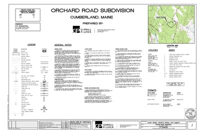
Property Plan of Lot Division, Orchard and Whitney Roads, Cumberland, Maine, 2004
John D. Palmiter
Property Plan of Lot Division, Orchard and Whitney Roads, Cumberland, Maine was created by John D. Palmiter in 2004.
-

Proposed Commercial Kitchen Expansion, Rachel's on the Green, Val Halla Road, Cumberland, Maine, 2011
Didonato Architects, Inc.
-

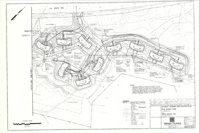
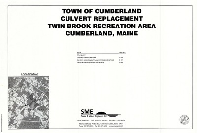
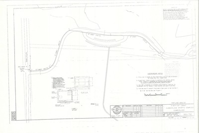
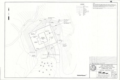
Proposed Site Plan, Cold Storage Building, Twin Brook Recreation Area, Cumberland, Maine, 2014
Sevee & Maher Engineers, Inc.
-

Recreation Area Inventory Project, Cumberland, Maine, 1980
Greater Portland Council of Governments
Recreation Area Inventory Project, Cumberland, Maine was created by Greater Portland Council of Governments in . Scale 1"=1000'.
-

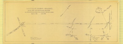
Right of Way and Track Map, Maine Central Railroad, Cumberland, Maine, 1916
Maine Central Railroad Company
-

Right of Way Map and Survey, Rideout Bridge over Mill Brook, Cumberland, Maine, 1972
MaineDepartment of Transportation
Right of Way Map and Survey, Rideout Bridge over Mill Brook, Cumberland, Maine was created by Maine Dept. of Transportation in 1972.
-

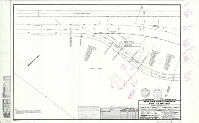
Right of Way Map, Route 88, Cumberland, Maine, 1988
MaineDepartment of Transportation
Right of Way Map, Route 88, Cumberland, Maine was created by the Maine Dept. of Transportation in 1988.
-

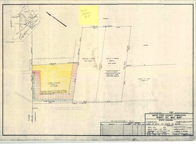
Right of Way Map, Wilson Mill Bridge, Cumberland, Maine, 1969
Maine State Highway Commission
Right of Way Map, Wilson Mill Bridge, Cumberland, Maine was created by the Maine State Highway Commission in 1969.
-

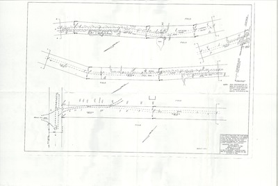
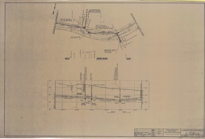
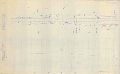
Road Plan and Profile of Small's Brook Crossing, Tuttle Road and Crossing Brook Road, Cumberland, Maine, 1990
Land Use Consultants
Road Plan and Profile of Small's Brook Crossing, Tuttle Road and Crossing Brook Road, Cumberland, Maine was created by Land Use Consultants in 1990. Includes pump station details.
-

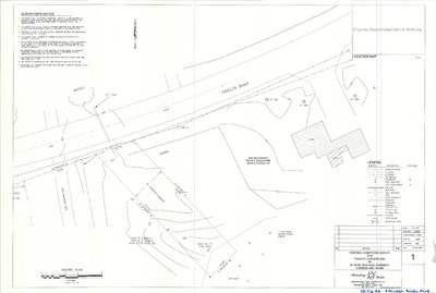
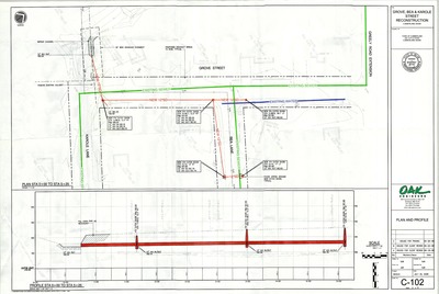
Roadway Reconstruction and Widening Project, Route 88 and Tuttle Road, Cumberland, Maine, 2009
Gorrill-Palmer Consulting Engineers, Inc.
-
Roadway Reconstruction and Widening Project, Route 88 and Tuttle Road, Cumberland, Maine, 2010
Gorrill-Palmer Consulting Engineers, Inc.
-
Route 1 Improvements, Roadway Widening Project, Cumberland, Maine, 2007
Gorrill-Palmer Consulting Engineers, Inc.
-

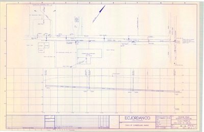
Route 1 Sewer Extension, Sewer Main Extension Project, Cumberland, Maine, 2018
Sevee & Maher Engineers
-

Sections and Details, Cold Storage Building, Twin Brook Recreation Area, Cumberland, Maine, 2014
Sevee & Maher Engineers, Inc.
-

Sewer Plan & Profile, Foreside Village, Foreside Village LLC, 2003
Pinkham &. Greer Consulting Engineers, Inc.
-
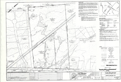
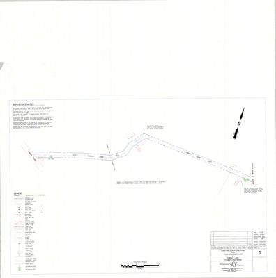
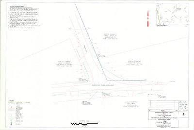
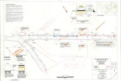
Sidewalk Extension and Road Realignment, Tuttle Road, Cumberland, Maine, 2020
Sevee & Maher Engineers
-
Sidewalk Extension and Road Reconstruction, Tuttle Road, Cumberland, Maine, 2017
Sevee & Maher Engineers, Inc.
-

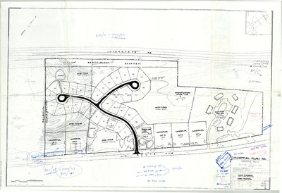
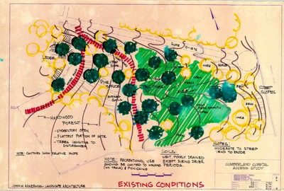
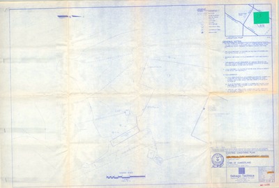
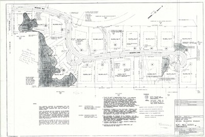
Site Analysis Plan, Sunrise Acres, Winn Road, Cumberland, Maine, 2003
LUC Engineers Planners Architects
-

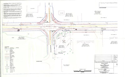
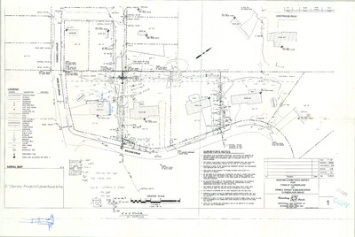
Site Development Plans for MSAD 51 Middle School Plan, Tuttle Road, Cumberland, Maine, 2002
Deluca-Hoffman Associates, Inc.
Site Development Plans for MSAD 51 Middle School Plan, Tuttle Road, Cumberland, Maine was created by Deluca-Hoffman Associates, Inc. in 2002.
-

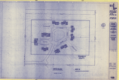
Site Development Plans for MSAD 51 Middle School, Tuttle Road, Cumberland, Maine, 2002
Stephen Blatt Architects
Site Development Plans for MSAD 51 Middle School, Tuttle Road, Cumberland, Maine was created by Stephen Blatt Architects in 2002. Scale 1"=100'.
-

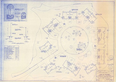
Site Plan and Index, Elementary School, SAD No. 51, Tuttle Road, Cumberland, Maine, 1966
- -
Site Plan and Index, Elementary School, SAD No. 51, Tuttle Road, Cumberland, Maine was created in 1966.
-

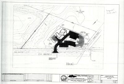
Site Plan of 78 U.S. Route 1, Cumberland, Maine, 2013
Florence Nightingale Corp.
78 US Route 1 Site Plan, Cumberland, Maine was created by Florence Nightingale Corp. in 2013. Scale 1"=30'.
-

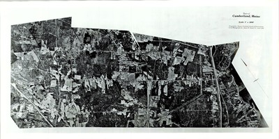
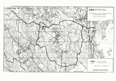
Soil Map, Cumberland, Maine, 1975
Greater Portland Council of Governments
Soil Map, Cumberland, Maine was created by the Greater Portland Council of Governments in 2005. Scale 1"=1000'.
-

Solar Way Subdivision Plan, Hillside Avenue, Cumberland, Maine, 2017
Pinkham & Greer Consulting Engineers, Inc.
-

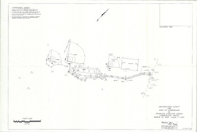
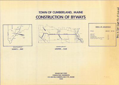
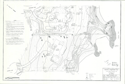
Standard Boundary Survey and Site Plan of Dillenback Property, Tuttle Road, Cumberland, Maine, 1996
Squaw Bay Corp.
Dillenback Property was created by Squaw Bay Corp. in 1994 and 1996. Scale varies.
-

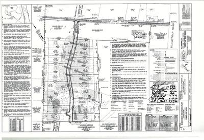
Standard Boundary Survey for Town of Cumberland of Blackstrap Road Property, Cumberland, Maine, 2002
Boundary Points
Standard Boundary Survey for Town of Cumberland of Blackstrap Road Property, Cumberland, Maine was created by Boundary Points in 2002.
-

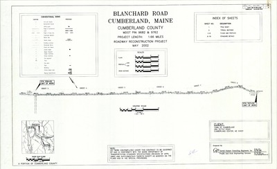
Standard Boundary Survey for Town of Cumberland of Blanchard Road, Cumberland, Maine, 2000
Boundary Points
Standard Boundary Survey for Town of Cumberland of Blanchard Road, Cumberland, Maine was created by Boundary Points in 2000. Includes surveys from 1926 and 1988.
-

Standard Boundary Survey for Town of Cumberland of Bruce Hill Road, Cumberland, Maine, 2000
Boundary Points
Standard Boundary Survey for Town of Cumberland of Bruce Hill Road, Cumberland, Maine was created by Boundary Points in 2000.
-

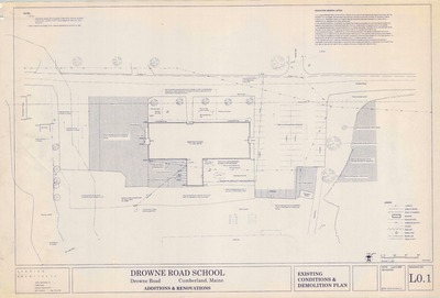
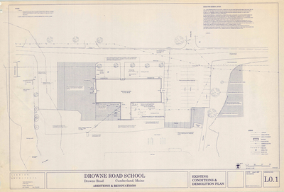
Standard Boundary Survey for Town of Cumberland of Drowne Road School Property, Cumberland, Maine, 2003
Boundary Points
Standard Boundary Survey for Town of Cumberland of Drowne Road School Property, Cumberland, Maine was created by Boundary Points in 2003.
-

Standard Boundary Survey for Town of Cumberland of Range Road and Bruce Hill Road, Cumberland, Maine, 2000
Boundary Points
Standard Boundary Survey for Town of Cumberland of Range Road and Bruce Hill Road, Cumberland, Maine was created by Boundary Points in 2000.
-

Standard Boundary Survey for Town of Cumberland of Range Road Property, Cumberland, Maine, 2003
Boundary Points
Standard Boundary Survey for Town of Cumberland of Range Road Property, Cumberland, Maine, was created by Boundary Points in 2003.
-

Standard Boundary Survey for Town of Cumberland of Range Road Property, Cumberland, Maine, 2005
Boundary Points
Standard Boundary Survey for Town of Cumberland of Range Road Property, Cumberland, Maine was created by Boundary Points in 2005.
-

Standard Boundary Survey for Town of Cumberland of Skillin Road, Cumberland, Maine, 2000
Boundary Points
Standard Boundary Survey for Town of Cumberland of Skillin Road, Cumberland, Maine was created by Boundary Points in 2000.
-

Standard Boundary Survey for Town of Cumberland of the Portland Water District Lot, Greely Road, Cumberland, Maine, 2001
Boundary Points
Standard Boundary Survey for Town of Cumberland of the Portland Water District Lot, Greely Road, Cumberland, Maine was created by Boundary Points in 2001.
-

Standard Boundary Survey for Town of Cumberland of Wyman Way, Cumberland, Maine, 2005
Boundary Points
Standard Boundary Survey for Town of Cumberland of Wyman Way, Cumberland, Maine was created by Boundary Points in 2005.
-

Standard Boundary Survey of Catalpa Way, Cumberland, Maine, 1990
Titcomb Associates
Standard Boundary Survey of Catalpa Way, Cumberland, Maine was created by Titcomb Associates in 1990. Includes plans from 1988.
-

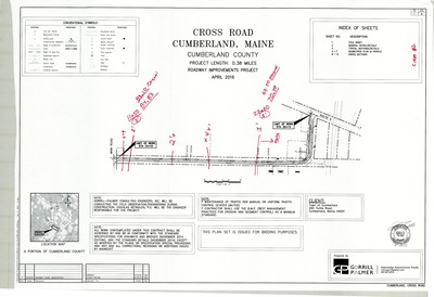
Standard Boundary Survey of Cross Road, Cumberland, Maine, 1989
Daniel T. C. LaPoint
Standard Boundary Survey of Cross Road, Cumberland, Maine was created by Daniel T. C. LaPoint in 1989.
-

Standard Boundary Survey of Daigle Subdivision, Middle Road, Cumberland, Maine, 1990
Titcomb Associates and Squaw Bay Corp.
Standard Boundary Survey of Daigle Subdivision, Middle Road, Cumberland, Maine was created by Titcomb Associates in 1990. Includes 1993 revision created by Squaw Bay Corp.
-

Standard Boundary Survey of Land on Route 9, Cumberland, Maine, 1986
Owen Haskell, Inc.
Standard Boundary Survey of Land on Route 9, Cumberland, Maine was created by Owen Haskell, Inc. in 1986.
-

Standard Boundary Survey of Long Meadow Road, Cumberland, Maine, 1999
Owen Haskell, Inc.
Standard Boundary Survey of Long Meadow Road, Cumberland, Maine was created by Owen Haskell, Inc. in 1999.
-

Standard Boundary Survey of Private Right of Way off Sturdivant Road, Cumberland, Maine, 1998
Boundary Points
Standard Boundary Survey of Private Right of Way off Sturdivant Road, Cumberland, Maine was created by Boundary Points in 1998.
-

Standard Boundary Survey of Property of Gregory and Katherine Fowler, Greely Road, Cumberland, Maine, 1996
Walt Dunlap
Standard Boundary Survey of Property of Gregory and Katherine Fowler, Greely Road, Cumberland, Maine was created by Walt Dunlap in 1996. Scale 1"=200'.
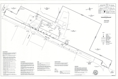
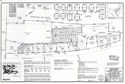
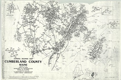
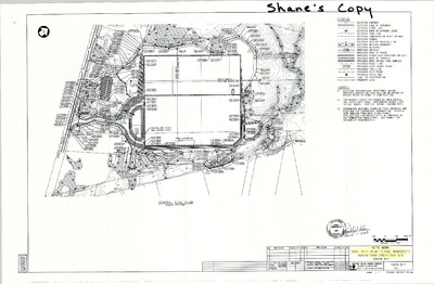
The Town of Cumberland Plans gallery houses a collection of plans and maps of the Town of Cumberland, and exists to gather, preserve, and make available those materials. Materials in the Collection date from the late 19th century to recent times. Types of materials in the collection include subdivision plans, utility maps, planning maps, soil maps, building blueprint sets, and tax/zoning maps.
Printing is not supported at the primary Gallery Thumbnail page. Please first navigate to a specific Image before printing.


")
")


