

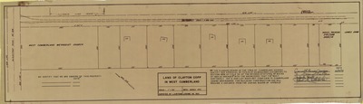
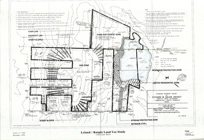
-

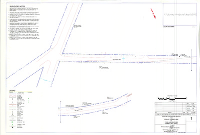
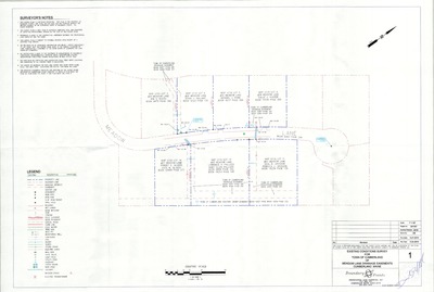
Plan of Idlewood, Range Road, Cumberland, Maine, 1998
Richard A. Manthorne
Plan of Idlewood, Range Road, Cumberland, Maine was created by Richard A. Manthorne in 1998. Scale 1"=100'.
-

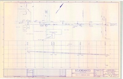
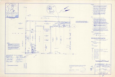
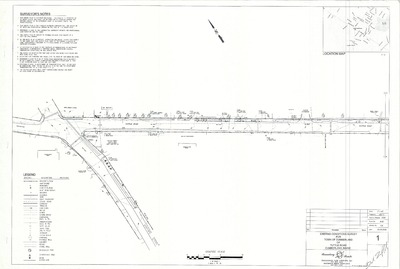
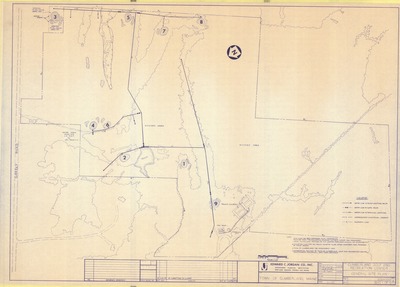
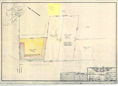
Plan of Intersection of Main Street and Winn Road, Cumberland, Maine, 1959
Edward C. Jordan Co., Inc. and Harlan H. Sweetser
-

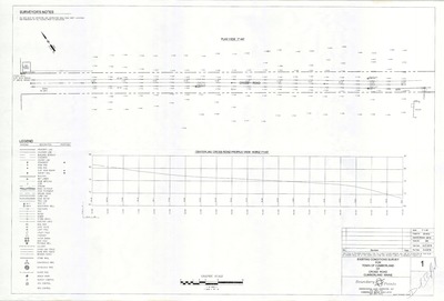
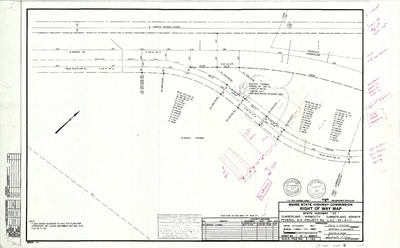
Plan of Interstate 295 Overlay, Cumberland, Maine, 1978
MaineDepartment of Transportation
Plan of Interstate 295 Overlay, Cumberland, Maine was created by the Maine Dept. of Transportation in 1978.
-

Plan of Island Pond Road, Cumberland, Maine, 1984
R. P. Titcomb Associates
Plan of Island Pond Road, Cumberland, Maine was created by R.P. Titcomb Associates in 1984. Includes plans from 1985.
-

Plan of James H. Wilson Estate, Wilson Road, Cumberland, Maine, 1993
Daniel T. C. Lapoint Land Surveyors
Plan of James H. Wilson Estate, Wilson Road, Cumberland, Maine was created by Daniel T.C. Lapoint Land Surveyors in 1993. Scale 1"=200'.
-

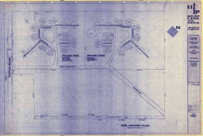
Plan of Jordan Farms Estates, Tuttle Road, Cumberland, Maine, 2011
Mitchell & Associates
Plan of Jordan Farms Estates, Tuttle Road, Cumberland, Maine was created by Mitchell & Associates in 2011. Scale 1"=100'.
-

Plan of Kerri Farms Subdivision, Cumberland, Maine, 1994
Wayne Wood & Co.
Plan of Kerri Farms Subdivision, Cumberland, Maine was created by Wayne Wood and Co. in 1994.
-

Plan of Kerrydale Vista, Main Street and Karole Lane, Cumberland, Maine, 1963
Gray Engineering, Inc.
-

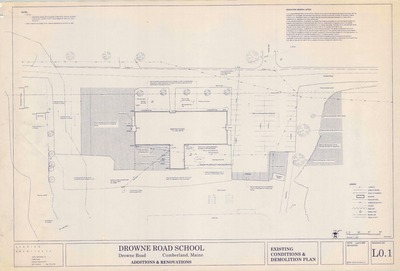
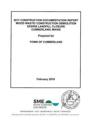
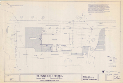
Plan of Landfill Closure for Town of Cumberland, Drowne Road, Cumberland, Maine, 2006
Boundary Points; Edward C. Jordan Co., Inc.; and ABB Enviromental
Plan of Landfill Closure for Town of Cumberland, Drowne Road, Cumberland, Maine was created by Boundary Points in 2006. Includes 1991 documents from Edward C. Jordan Co., Inc., ABB Enviromental and Squaw Bay Corp.
-

Plan of Land for Pierre Dumaine, Mill Road, Cumberland, Maine, 1968
Owen Haskell, Inc.
Plan of Land for Pierre Dumaine, Mill Road, Cumberland, Maine was created by Owen Haskell, Inc. in 1968. Scale 1"=40'.
-

Plan of Land on Mill Road, Cumberland, Maine, 1983
Daniel T. C. LaPoint
Plan of Land on Mill Road, Cumberland, Maine was created by Daniel T. C. LaPoint in 1983.
-

Plan of Land on Pleasant Valley Road, Cumberland, Maine, 1984
Daniel T. C. LaPoint
Plan of Land on Pleasant Valley Road, Cumberland, Maine was created by Daniel T. C. LaPoint in 1984.
-

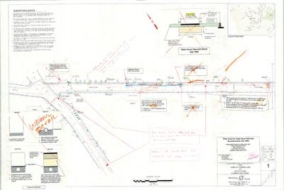
Plan of Layout and Grading, Main Street/Route 9, Cumberland-North Yarmouth, Maine, 1992
MaineDepartment of Transportation
Plan of Layout and Grading, Main Street/Route 9, Cumberland-North Yarmouth, Maine was created by Maine Dept. of Transportation in 1992.
-

Plan of Ledge Road, Cumberland, Maine, 1978
Owen Haskell, Inc.
Plan of Ledge Road, Cumberland, Maine was created by Owen Haskell, Inc. in 1978.
-

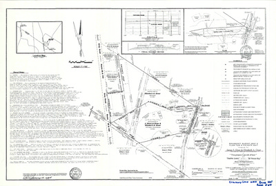
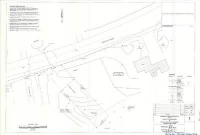
Plan of Local Distribution Hub, Time Warner Cable, Bruce Hill Road, Cumberland, Maine, 2004
OEST Associates, Inc.
Time Warner Hub was created by OEST Associates, Inc. in 2004. Scale 1"=20'.
-

Plan of Longwoods Meadow, Longwoods Road, Cumberland, Maine, 2002
Wayne Wood & Co.
Plan of Longwoods Meadow, Route 9, Cumberland, Maine was created by Wayne Wood & CO. in 2002. Scale 1"=100'.
-

Plan of Mabel I. Wilson Subdivision, Cumberland, Maine, 1978
D. Bruce Verrill Associates Inc.
Plan of Mable I. Wilson Subdivision, Cumberland, Maine was created by D. Bruce Verrill Associates Inc. in 1978.
-

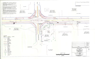
Plan of Maine Route 9/Main Street Grading, Signal and Pavement Widening Project, Cumberland, Maine, 2002
Deluca-Hoffman Associates, Inc.
Plan of Maine Route 9/Main Street Grading, Signal and Pavement Widening Project, Cumberland, Maine was created by Deluca-Hoffman Associates, Inc. in 2002.
-

Plan of Maple View Terrace, Route 88 and Carriage Road, Cumberland, Maine, 1967
C. R. Storer, Inc.
Plan of Maple View Terrace, Route 88 and Carriage Road, Cumberland, Maine was created by C. R. Storer, Inc. in 1967.
-

Plan of Maritimes and Northeast Pipeline, Proposed Northern Alternate, Cumberland, Maine, 1997
Western Blue Digital Blacklines
-

Plan of Maritimes and Northeast Pipeline, Proposed Phase II, Cousins Island Lateral, Sheet Index Aerial Worksheets, Maine, 1997
Western Blue Digital Blacklines
-

Plan of Maritimes and Northeast Pipeline, Proposed Phase II, NWI Quad Sheet Index, Maine, 1997
Western Blue Digital Blacklines
-

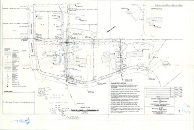
Plan of Mary Lane Subdivision, Foreside Road, Cumberland, Maine, 2004
Land Use Consultants, Inc.
Plan of Mary Lane Subdivision, Foreside Road, Cumberland, Maine was created by Land Use Consultants, Inc. in 2004. Scale 1"=100'.
-

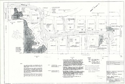
Plan of Meadow Lane Subdivision, Cumberland, Maine, 1987
Woodward & Curran Inc.
Plan of Meadow Lane Subdivision, Cumberland, Maine was created by Woodward & Curran Inc. in 1987.
-

Plan of Meadow Lane Subdivision, Tuttle Road and Meadow Way, Cumberland, Maine, 1987
Woodard & Curran Inc.
-

Plan of Methodist Cemetery, Blackstrap Road, Cumberland, Maine, 1935
Sumner S. Lowe and Harlan H. Sweetser
-

Plan of Middle Road, Cumberland, Maine, 1908
H. W. Foster
Plan of Middle Road, Cumberland, Maine was created by H. W. Foster in 1908. "As relocated by the Commissioners of the County of Cumberland."
-

Plan of Middle Road Water Main Extension, Middle Road, Cumberland, Maine, 2010
Oak Engineers
Plan of Middle Road Water Main Extension, Middle Road, Cumberland, Maine was created by Oak Engineers in 2010. Scale varies.
-

Plan of Mill Ridge Acres, Cumberland, Maine, 1983
C. R. Storer, Inc.
Plan of Mill Ridge Acres, Cumberland, Maine was created by C. R. Storer, Inc. in 1983. Includes 1973 plans.
-

Plan of Morrison Hill Acres, Route 100 and Methodist Road, Cumberland, Maine, 1983
C. R. Storer, Inc.
Plan of Morrison Hill Acres, Route 100 and Methodist Road, Cumberland, Maine was created by C. R. Storer, Inc. in 1983.
-

Plan of Morrison's Hill Neighborhood, Gray Road, Cumberland, Maine, 2013
Gorrill-Palmer Consulting Engineers, Inc. and Wayne Wood & Co.
Plan of Morrison's Hill Neighborhood, Gray Road, Cumberland, Maine was created by Gorrill-Palmer Consulting Engineers, Inc. in 2013. Scale 1"=60'.
-

Plan of Moss Side Cemetery, Main Street, Cumberland, Maine, 1937
Harlan H. Sweetser and Sumner S. Lowe
-

Plan of Moss Side Cemetery, Main Street, Cumberland, Maine, 1994
Terrence Parker and Squaw Bay Corp.
Plan of Moss Side Cemetery, Main Street, Cumberland, Maine was created by Terrence Parker in 1994. Includes Standard Boundary Survey dated July 1994.
-

Plan of Newell Ridge Subdivision, Cumberland, Maine, 1988
Sebago Technics, Inc.
Plan of Newell Ridge Subdivision, Cumberland, Maine was created by Sebago Technics, Inc. in 1988.
-

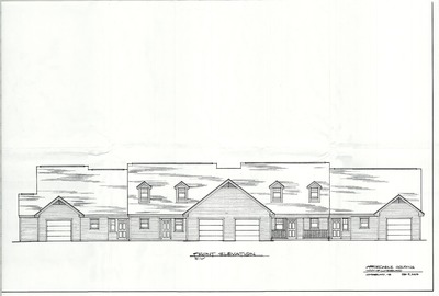
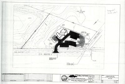
Plan of Norton Insurance, U.S. Route 1, Cumberland, Maine, 2015
Gawron Turgeon Architect
Plan of Norton Insurance, U.S. Route 1, Cumberland, Maine was created by Gawron Turgeon Architect in 2015. Scale 1"=15'.
-

Plan of Old Colony Estates, Blackstrap Road, Cumberland, Maine, 2010
Sebago Technics
Plan of Old Colony Estates, Blackstrap Road, Cumberland, Maine was created by Sebago Technics in 2010. Scale 1"=40'.
-

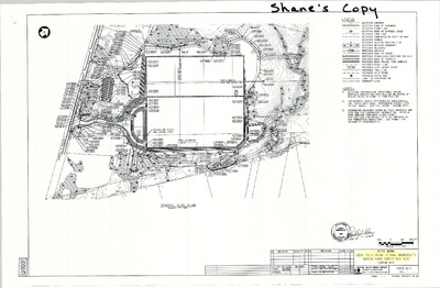
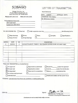
Plan of Old Colony Estates, Phase 3, Blackstrap Road, Cumberland, Maine, 2014
Sebago Technics
Plan of Old Colony Estates, Phase 3, Blackstrap Road, Cumberland, Maine was created by Sebago Technics in 2014. Scale 1"=100'.
-

Plan of Old Colony Estates, Phase I, Blackstrap Road, Cumberland, Maine, 2002
Sebago Technics, Inc
Plan of Old Colony Estates, Phase I, Blackstrap Road, Cumberland, Maine was created by Sebago Technics, Inc. in 2002.
-

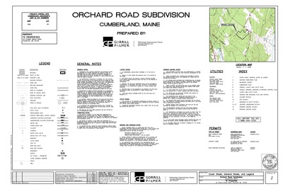
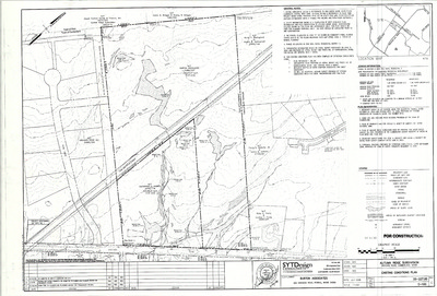
Plan of Orchard Ridge, Orchard Road, Cumberland, Maine, 2004
SYTDesign Consultants
Plan of Orchard Ridge, Orchard Road, Cumberland, Maine was created by SYTDesign Consultants in 2004. Scale 1"=100'.
-

Plan of Orchard Ridge Subdivision, Orchard Road, Cumberland, Maine, 2002
Titcomb Associates
Plan of Orchard Ridge Subdivision, Orchard Road, Cumberland, Maine was created by Titcomb Associates in 2002.
-

Plan of Osgood Village Condominiums, Main Street, Cumberland, Maine, 2007
SYTDesign Consultants
Plan of Osgood Village Condominiums, Main Street, Cumberland, Maine was created by SYTDesign Consultants in 2007. Scale 1"=20'.
-

Plan of Paving of Parking Lot and Access Roads for SAD No. 51, Cumberland, Maine, 1972
Dale E. Caruthers
Plan of Paving of Parking Lot and Access Roads for SAD No. 51, Cumberland, Maine was created by Dale E. Caruthers in 1972.
-

Plan of Pine Ridge and Pine Ridge II, Foreside Road and Pine Ridge Road, Cumberland, Maine, 1963
Edward C. Jordan Co., Inc. and Robert P. Titcomb Inc.
-

Plan of Pine Ridge Road II, Cumberland, Maine, 1979
Robert P. Titcomb, Inc. and H. I. & E. C. Jordan
Plan of Pine Ridge Road II, Cumberland, Maine Cumberland, Maine was created by Robert P. Titcomb, Inc. Includes 1964 plan of Pine Ridge Road created by H. I. & E. C. Jordan and buried cable plans from 1968.
-

Plan of Pinewood Acres, Section B, Cumberland, Maine, 1959
Carl E. Emery
Plan of Pinewood Acres, Section B, Cumberland, Maine was created by Carl E. Emery in 1959. Includes 1958 plan of Pinewood Acres.
-

Plan of Pond Shore Estates, Cumberland, Maine, 1982
Frank V. Wright Associates
Plan of Pond Shore Estates, Cumberland, Maine was created by Frank V. Wright Associates in 1982.
-

Plan of Pond Shore Estates, Skilling Road and Pond Shore Drive, Cumberland, Maine, 1982
Frank V. Wright Associates
-

Plan of Property for Randy Bowden, Pleasant Valley Road, Cumberland, Maine, 1984
Daniel T. C. LaPoint
-

Plan of Property of Barbara Morris Goodbody, Foreside Road, Cumberland Maine, 1974
Edward C. Jordan Co., Inc.
-

Plan of Property of Elizabeth H. Johnson, Foreside Road, Cumberland, Maine, 1978
Edward C. Jordan Co., Inc.
-

Plan of Property of Nicholas Fish, Foreside Road and Sturdivant Road, Cumberland, Maine, 1963
Edward C. Jordan Co., Inc.
-

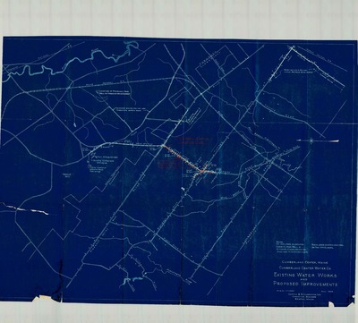
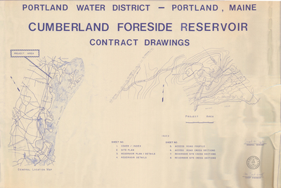
Plan of Property of Portland Water District, Cumberland, Maine, 1983
H. I. & E. C. Jordan
Plan of Property of Portland Water District, Cumberland, Maine was created by H. I. & E. C. Jordan in 1983. Includes Broad Cove easements, SAD #51 cross country sewer, Country Charm Road sewer, Ferne Lane pump station details and overall system map.
-

Plan of Property of Richard L. Doane, Main Street, Cumberland, Maine, 1989
R. P. Titcomb Associates, Inc.
Plan of Property of Richard L. Doane, Main Street, Cumberland, Maine was created by R. P. Titcomb Associates, Inc. in 1989. Scale 1"=100'.
-

Plan of Property of William J. Seretta, Jr., Blanchard Road, Cumberland, Maine, 1982
Professional Land Services
-

Plan of Property on Drowne Road, Cumberland, Maine, 1973
H. I. & E. C. Jordan
Plan of Property on Drowne Road, Cumberland, Maine was created by H. I. & E. C. Jordan in 1973.
-

Plan of Property on Sea Cove Road, Cumberland, Maine, 1957
H. I. & E. C. Jordan
Plan of Property on Sea Cove Road, Cumberland, Maine was created by H. I. & E. C. Jordan in 1957.
-

Plan of Property on Sturdivant Road, Cumberland, Maine, 1983
H. I. & E. C. Jordan
Plan of Property on Sturdivant Road, Cumberland, Maine was created by H. I. & E. C. Jordan in 1983.
-

Plan of Property on Woodside Drive, Cumberland, Maine, 1966
Carl E. Emery
Plan of Property on Woodside Drive, Cumberland, Maine was created by Carl E. Emery in 1966.
-

Plan of Proposed Driveway Easement, Willow Lane, Cumberland Center, Maine, 2013
Royal River Survey Co.
-

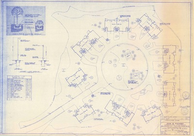
Plan of Pro Shop Proposal and Addition, Cumberland, Maine, 1978
John Baggs
Plan of Pro Shop Addition, Val Halla Golf Course, Cumberland, Maine was created by N. T. Fox Co., Inc. and John Baggs in 1978.
-

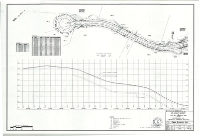
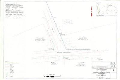
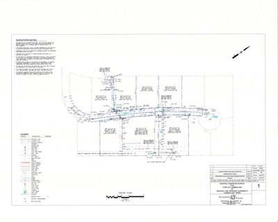
Plan of Range Road Phase II, Cumberland, Maine, 2009
Gorrill-Palmer Consulting Engineers, Inc.
Plan of Range Road Phase II, Cumberland, Maine was created by Gorrill-Palmer Consulting Engineers, Inc. in 2009.
-

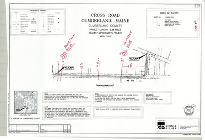
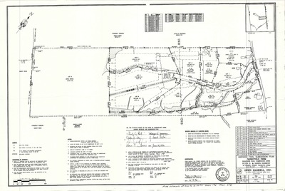
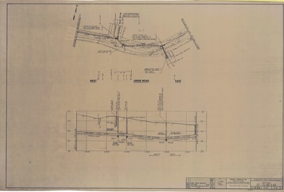
Plan of Range Road Roadway Improvement Project, Cumberland, Maine, 2012
Gorrill-Palmer Consulting Engineers, Inc.
Plan of Range Road Roadway Improvement Project, Cumberland, Maine was created by Gorrill-Palmer Consulting Engineers, Inc. in 2012. Scale 1"=600'.
-

Plan of Reconstruction, Main Street/Route 9, Cumberland, Maine, 1991
MaineDepartment of Transportation
Plan of Reconstruction, Main Street/Route 9, Cumberland, Maine was created by Maine Dept. of Transportation in 1991.
-

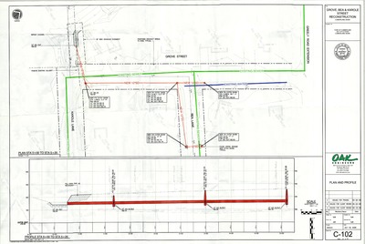
Plan of Reconstruction of Philip Street, Cumberland, Maine, 2008
Oak Engineers
Plan of Reconstruction of Philip Street, Cumberland, Maine was created by Oak Engineers in 2008. Scale varies.
-

Plan of Renovation Of Greely Institute, Main Street, Cumberland, Maine, 1972
Beal Depeter Ward, Inc.
-

Plan of Ridge Road, Cumberland, Maine, 2006
W. E. Winslow
Plan of Ridge Road, Cumberland, Maine was created by W. E. Winslow in 2006.
-

Plan of Ridge Road Subdivision, Bruce Hill Road, Cumberland, Maine, 2002
OEST Associates, Inc.
Plan of Ridge Road Subdivision, Bruce Hill Road, Cumberland, Maine was created by OEST Associates, Inc. in 2002. Scale 1"=100'.
-

Plan of R & N Woods, Phase I, Foreside Road, Cumberland, Maine, 2012
Associated Design Partners, Inc.
Plan of R & N Woods, Phase I, Foreside Road, Cumberland, Maine was created by Sebago Technics in 2012. Scale 1"=100'.
-

Plan of R & N Woods, Phase I, Foreside Road, Cumberland, Maine, 2012
Associated Design Partners, Inc.
Plan of R & N Woods, Phase I, Foreside Road, Cumberland, Maine was created by Sebago Technics in 2012. Scale 1"=100'.
-

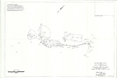
Plan of Rock Ridge Estates, Cumberland, Maine, 1997
Squaw Bay Corp.
Plan of Rock Ridge Estates, Cumberland, Maine was created by Squaw Bay Corp. in 1997.
-

Plan of Rock Ridge Estates, Harris Road, Cumberland, Maine, 1998
Squaw Bay Corp.
Plan of Rock Ridge Estates, Harris Road, Cumberland, Maine was created by Squaw Bay Corp. in 1998. Scale 1"=100'.
-

Plan of Rockwood Development, Route 1, Cumberland, Maine, 2000
SYTDesign Consultants
Plan of Rockwood Development, Route 1, Cumberland, Maine was created by SYTDesign Consultants in 2000.
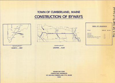
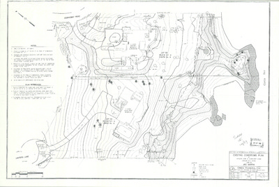
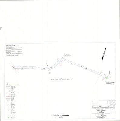
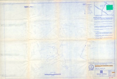
The Town of Cumberland Plans gallery houses a collection of plans and maps of the Town of Cumberland, and exists to gather, preserve, and make available those materials. Materials in the Collection date from the late 19th century to recent times. Types of materials in the collection include subdivision plans, utility maps, planning maps, soil maps, building blueprint sets, and tax/zoning maps.
Printing is not supported at the primary Gallery Thumbnail page. Please first navigate to a specific Image before printing.


