Home > StateDocs > sos > ARCHIVES > ARC_IMG > ARC_MAPS > PLANBOOK_MAPS > PLANBOOK_6
Follow
Advanced Search


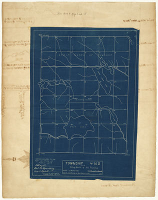
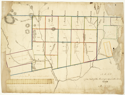
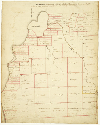
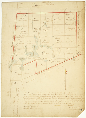
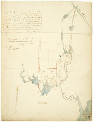
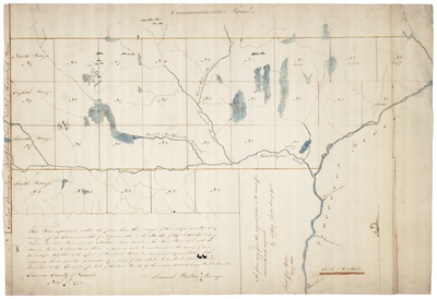
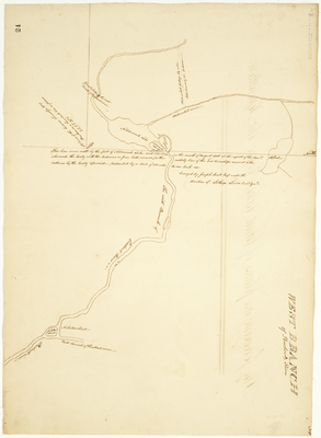
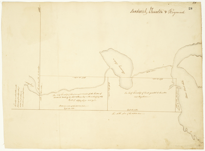
![Page 20. Township No. 1 of the Old Indian Purchase on the West side of the P[enobscot] River by James Irish and Lothrop Lewis](https://digitalmaine.com/planbook_6/1025/thumbnail.jpg "Page 20. Township No. 1 of the Old Indian Purchase on the West side of the P[enobscot] River by James Irish and Lothrop Lewis")


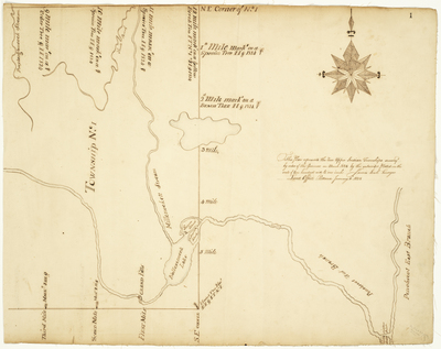
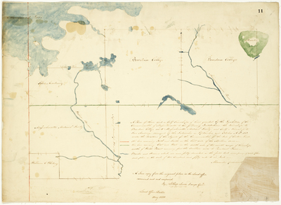
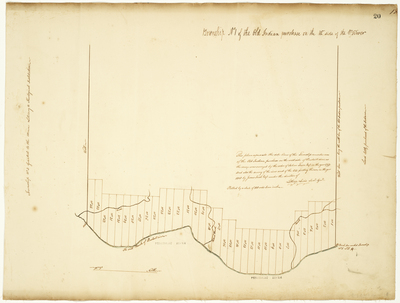
, 1818 by James Irish and Andrew Strong")