

Preview
Document Type
StillImage
Contributing Institution
Maine State Archives
Identifier
211714
Description
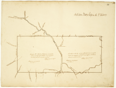
Survey of Township 1 on the east and west sides of the Penobscot River reserved for the Indians by treaty of June 30, 1818. Scale of 200 rods to an inch.
Exact Creation Date
1818
Language
English
Other Location
Mattawamkeag River; Penobscot River
Keywords
Cartography; Maps; Maine Land Office; Planbooks; Surveys