Home
Search
Browse State Agencies
My Account
About
Digital Commons Network™
Skip to main content
Home
About
FAQs
My Account
Home
>
StateDocs
>
sos
>
ARCHIVES
>
ARC_IMG
>
ARC_LAND_OFFICE
>
PLANBOOK_MAPS
>
PLANBOOK_6
Plan Book 6
Printing is not supported at the primary Gallery Thumbnail page. Please first navigate to a specific Image before printing.
Follow
Switch View to List
View Slideshow
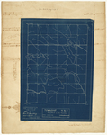
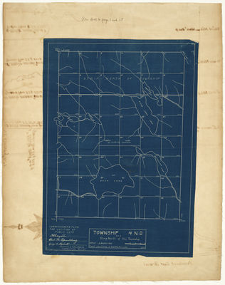
Page 01.5. Blueprint of Township 4 ND and Strip North of this Township, 1924
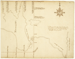
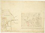
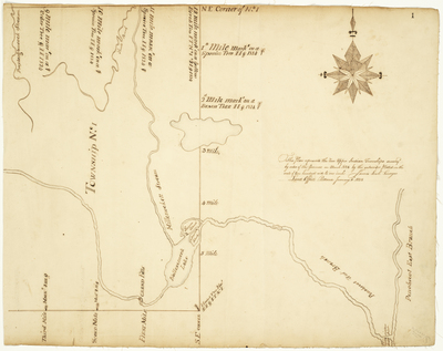
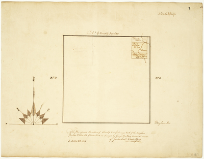
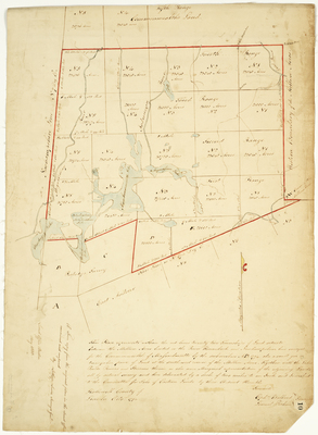
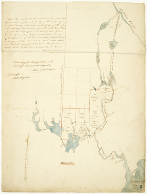
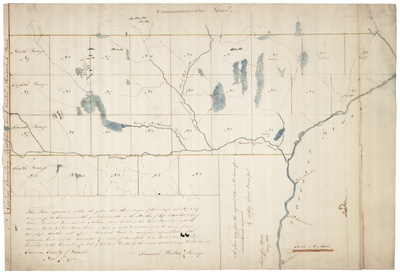
Page 01. This plan represents the two upper Indian Townships survey'd by order of the Governor in March 1824 by the subscriber.
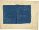
Page 02.5. Plan of cottage lots, Harford Point, Moosehead Lake
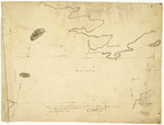
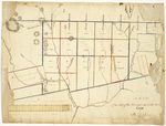
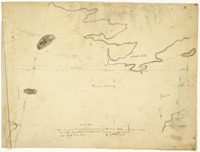
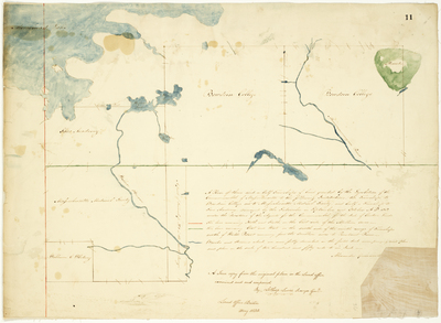
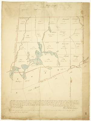
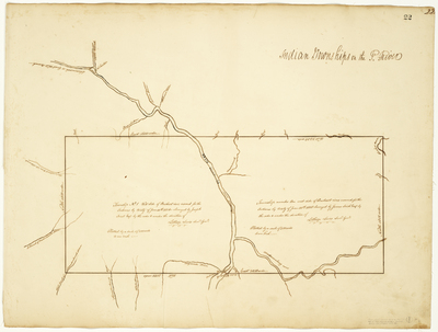
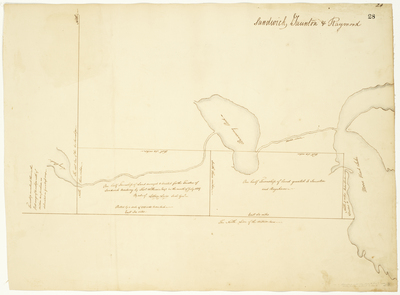
Page 02. This plan represents a half township of land granted to the trustees of Hampden Academy and a gore lying between it and Schoodic Lake
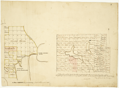
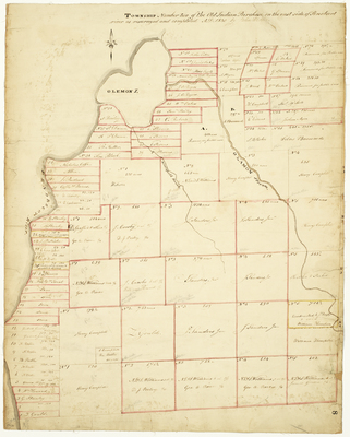
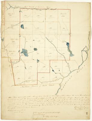
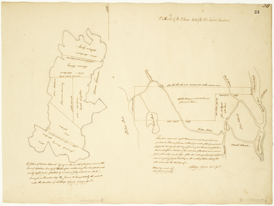
Page 03. A Plan of Orient copied from the survey Joseph Norris made in 1828; A Plan of the southerly part of township numbered eight in the second range of townships north of Bingham's Penobscot purchase, 1831
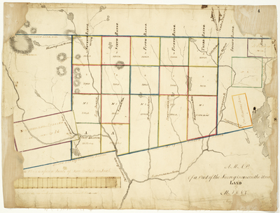
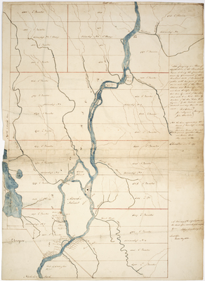
Page 04. A Map of a Part of the Survey in 1825 on the Undivide Land in Maine
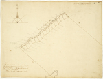
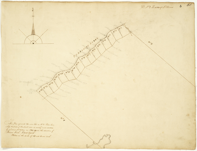
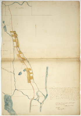
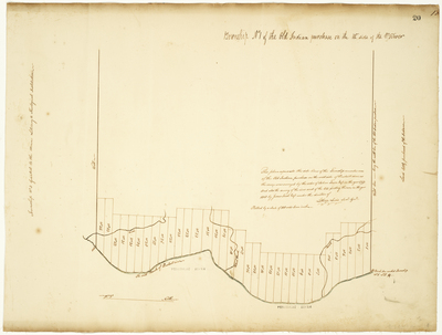
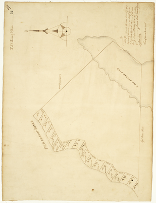
Page 05. This plan represents the river lots in No. 2 River Township East side of Penobscot river as survey'd and alloted by Andrew McMillan in 1824 under the direction of James Irish, Land Agent.
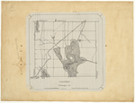
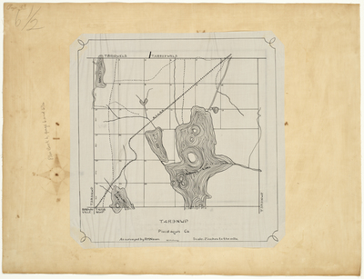
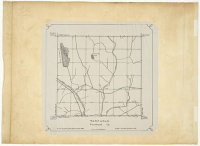
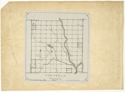
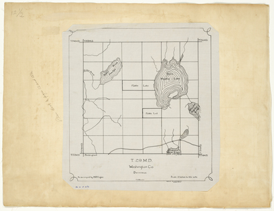
Page 06.5. Plan of Township 4 Range 9 NWP, Piscataquis County
1
2
3
4
5
Search
Enter search terms:
Select context to search:
in this collection
Digital Maine
Advanced Search
Notify me via email or
RSS
Browse
State Agencies
Subjects
Contributors
For Agency Contributors
FAQs
Featured Links
Maine Government
Maine State Library
Maine State Agencies
Digital Maine Partners
Gallery Locations
View gallery on map
View gallery in Google Earth