Home > StateDocs > sos > ARCHIVES > ARC_IMG > ARC_MAPS > PLANBOOK_MAPS > PLANBOOK_6
Follow
Advanced Search


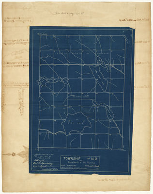
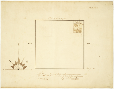
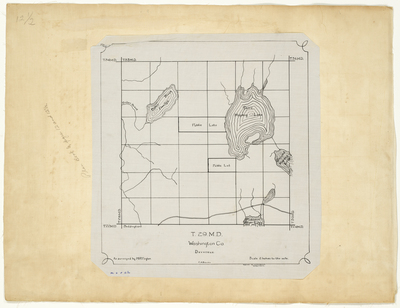
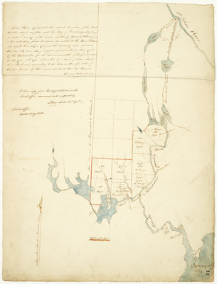
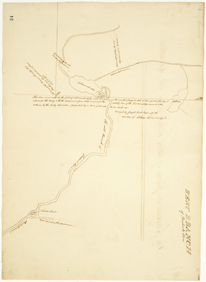
![Page 12.5. Plan of T29 MD [Middle Division], Devereux, Washington County by H. R. Taylor](https://digitalmaine.com/planbook_6/1017/thumbnail.jpg "Page 12.5. Plan of T29 MD [Middle Division], Devereux, Washington County by H. R. Taylor")


