Home
Search
Browse State Agencies
My Account
About
Digital Commons Network™
Skip to main content
Home
About
FAQs
My Account
Home
>
StateDocs
>
sos
>
ARCHIVES
>
ARC_IMG
>
ARC_MAPS
>
MAPS_BY_COUNTY
>
MAPS_CUMBERLAND_COUNTY
Cumberland County
Printing is not supported at the primary Gallery Thumbnail page. Please first navigate to a specific Image before printing.
Follow
Switch View to List
View Slideshow
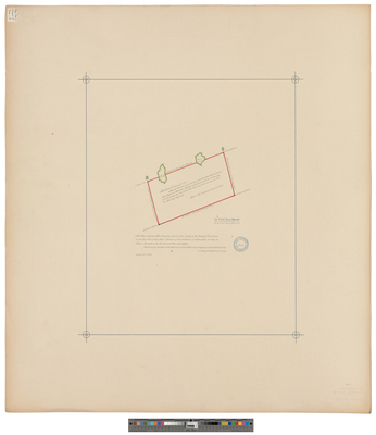
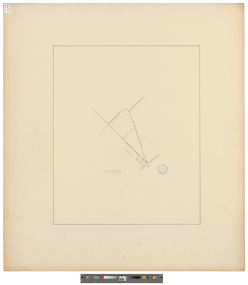
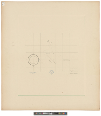
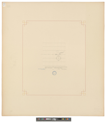
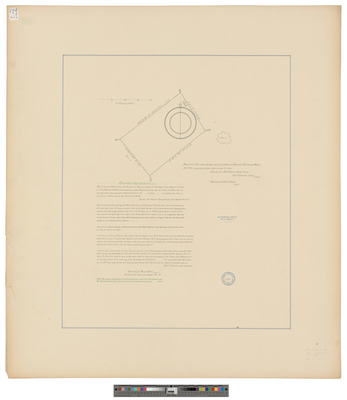
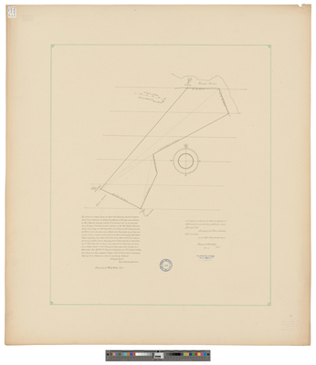
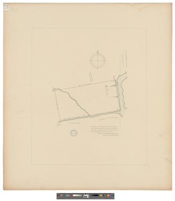
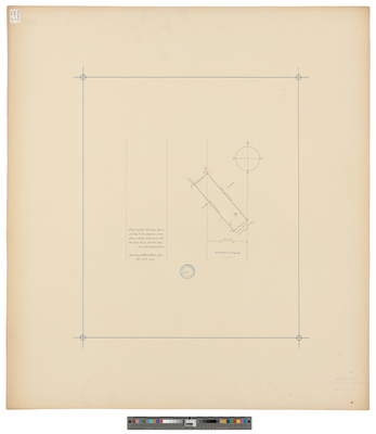
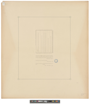
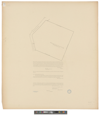
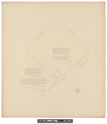
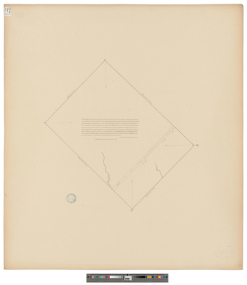
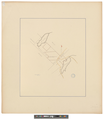
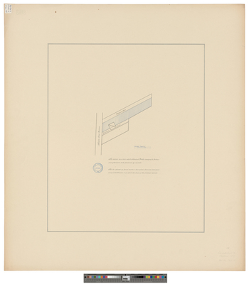
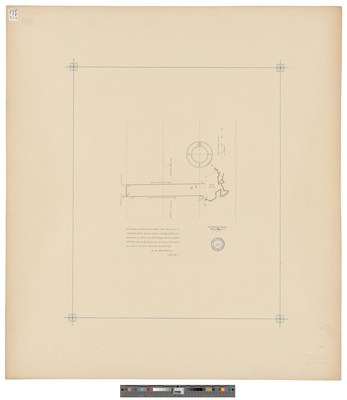
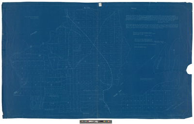
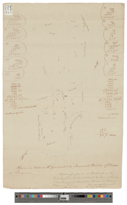
[Portland]. Survey of land conveyed by Jedediah Preble to Mr. Barbour
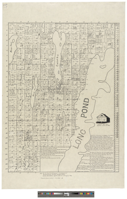
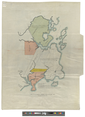
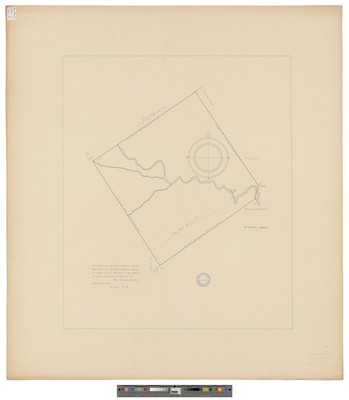
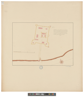
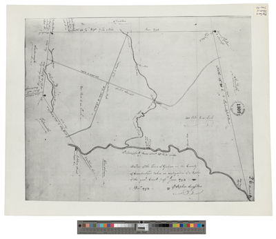
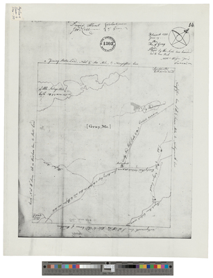
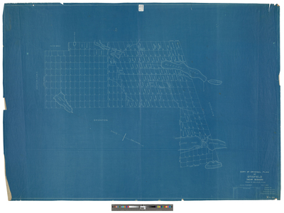
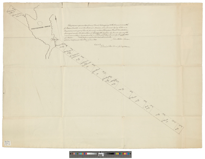
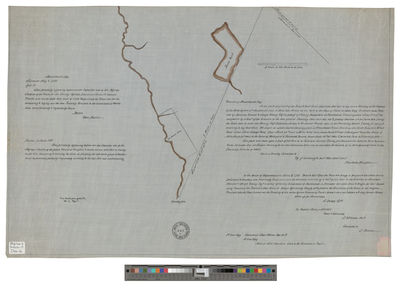
[Raymond]. A grant of land containing six miles and three quarters square granted by the great and general Court held at Boston ye 24th 1766 granted unto Capt. William Raymond and others...
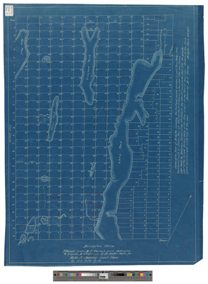
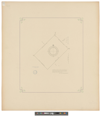
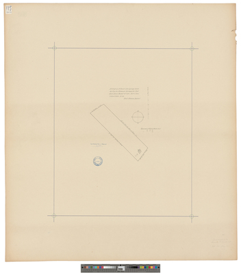
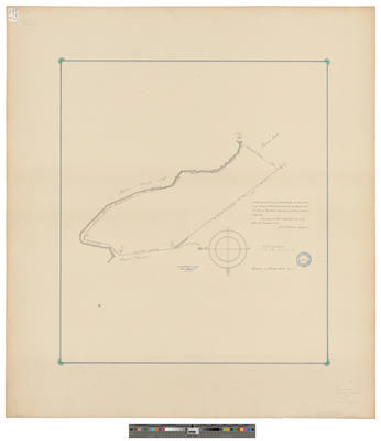
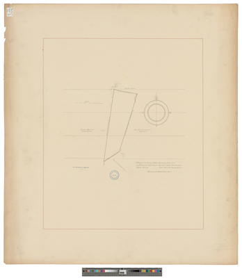
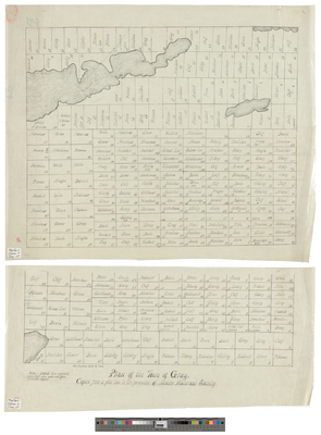
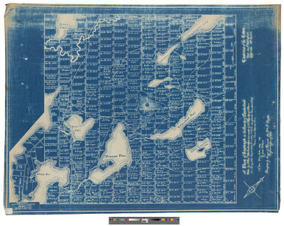
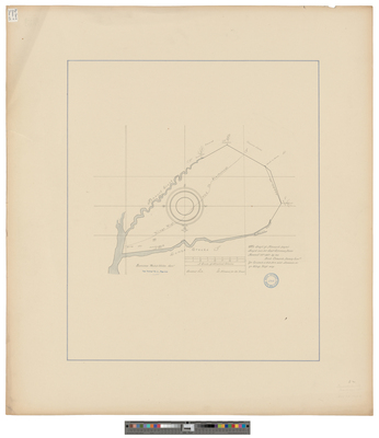
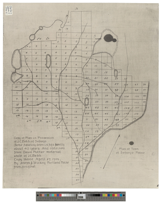
[Raymond]. A Plot of Raymond in the County of Cumberland
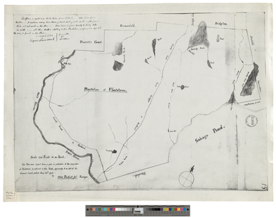
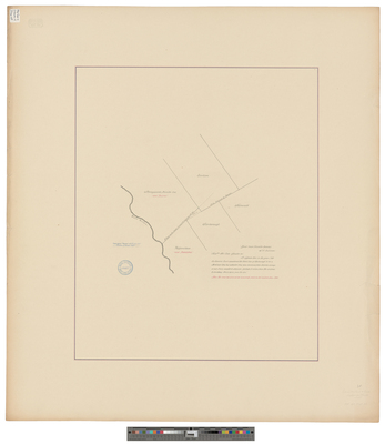
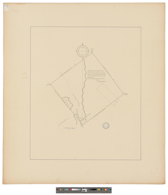
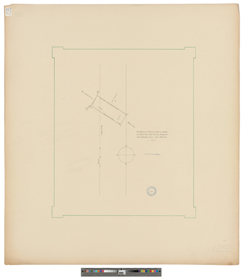
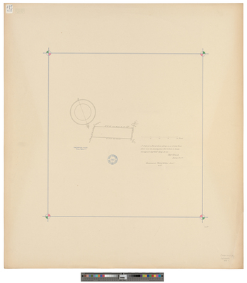
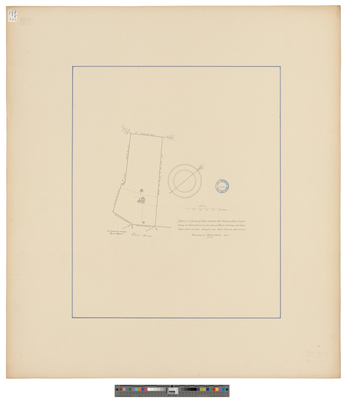
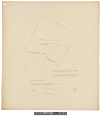
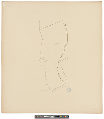
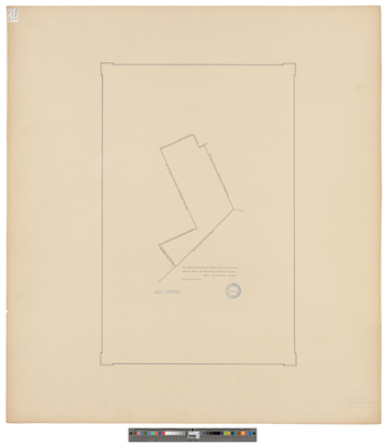
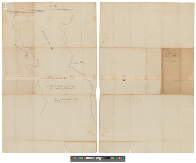
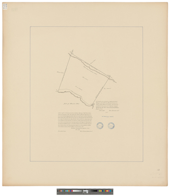
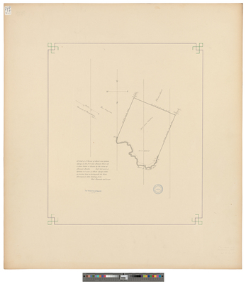
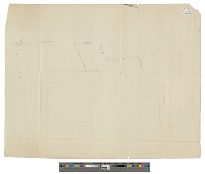
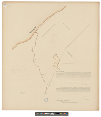
[Raymond]. Plan of land between Raymond and Standish
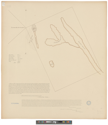
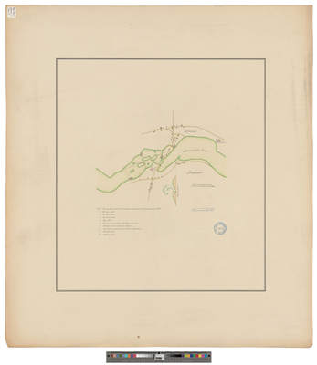
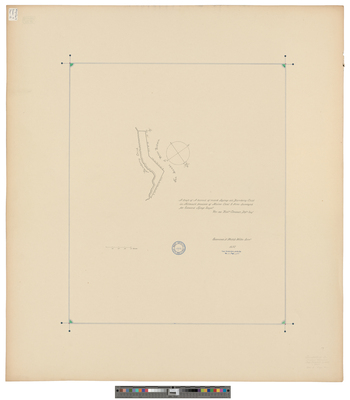
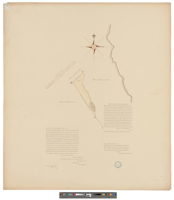
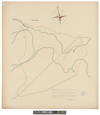
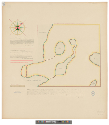
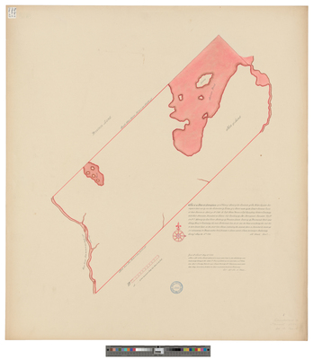
[Raymond]. This Plan Represents a Gore of Land Belonging to the Commonwealth of Massachusetts and the State of Maine, situated and lying between Raymon[d], and a gore of land formerly called Thompson Pond Plantation.
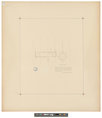
[Scarborough]. A Drafft of a Parsel of Upland and Marsh Being on the Northeast Sid[e] Nonsuch River at a Place Called Nonsuch Marsh...
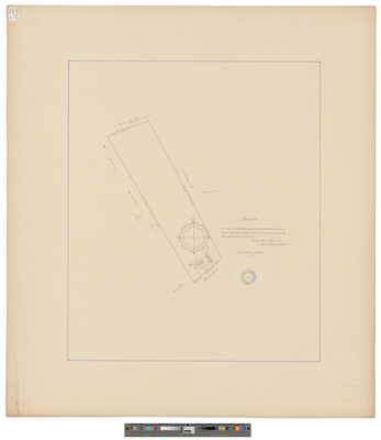
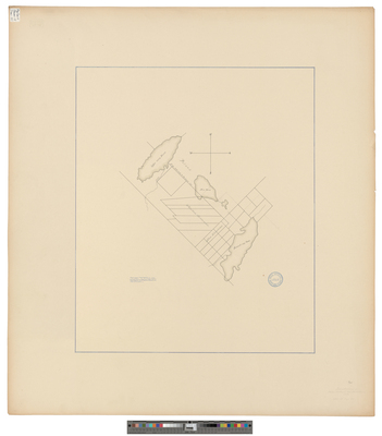
[Scarborough]. A Drafft of Two Parrsells of Fresh Marsh Lyinge Att Mill Crick Dunston
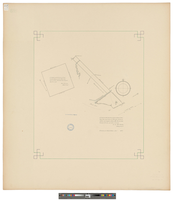
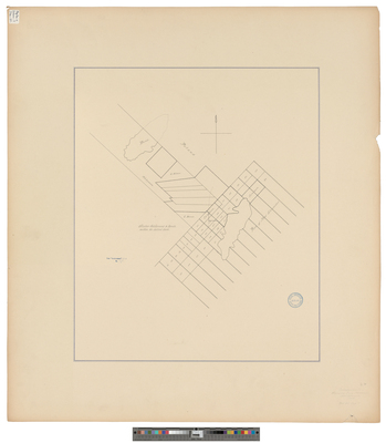
[Scarborough]. A Draft of a Parrsell of Salt Marsh Lyinge Att Blew Poynt In Scarborough
Page
7
of
9
3
4
5
6
7
8
9
Search
Enter search terms:
Select context to search:
in this collection
Digital Maine
Advanced Search
Notify me via email or
RSS
Browse
State Agencies
Subjects
Contributors
For Agency Contributors
FAQs
Featured Links
Maine Government
Maine State Library
Maine State Agencies
Digital Maine Partners
Gallery Locations
View gallery on map
View gallery in Google Earth


![[Portland]. Survey of land conveyed by Jedediah Preble to Mr. Barbour](https://digitalmaine.com/maps_cumberland_county/1047/thumbnail.jpg "[Portland]. Survey of land conveyed by Jedediah Preble to Mr. Barbour")
![[Raymond]. A grant of land containing six miles and three quarters square granted by the great and general Court held at Boston ye 24th 1766 granted unto Capt. William Raymond and others... by Moses Banks](https://digitalmaine.com/maps_cumberland_county/1050/thumbnail.jpg "[Raymond]. A grant of land containing six miles and three quarters square granted by the great and general Court held at Boston ye 24th 1766 granted unto Capt. William Raymond and others... by Moses Banks")
![[Raymond]. A Plot of Raymond in the County of Cumberland by Nathaniel Winslow and Sumner Plummer](https://digitalmaine.com/maps_cumberland_county/1051/thumbnail.jpg "[Raymond]. A Plot of Raymond in the County of Cumberland by Nathaniel Winslow and Sumner Plummer")
![[Raymond]. Plan of land between Raymond and Standish](https://digitalmaine.com/maps_cumberland_county/1049/thumbnail.jpg "[Raymond]. Plan of land between Raymond and Standish")
![[Raymond]. This Plan Represents a Gore of Land Belonging to the Commonwealth of Massachusetts and the State of Maine, situated and lying between Raymon[d], and a gore of land formerly called Thompson Pond Plantation. by George W. Coffin and Daniel Rose](https://digitalmaine.com/maps_cumberland_county/1048/thumbnail.jpg "[Raymond]. This Plan Represents a Gore of Land Belonging to the Commonwealth of Massachusetts and the State of Maine, situated and lying between Raymon[d], and a gore of land formerly called Thompson Pond Plantation. by George W. Coffin and Daniel Rose")
![[Scarborough]. A Drafft of a Parsel of Upland and Marsh Being on the Northeast Sid[e] Nonsuch River at a Place Called Nonsuch Marsh... by Richard Clements](https://digitalmaine.com/maps_cumberland_county/1053/thumbnail.jpg "[Scarborough]. A Drafft of a Parsel of Upland and Marsh Being on the Northeast Sid[e] Nonsuch River at a Place Called Nonsuch Marsh... by Richard Clements")
![[Scarborough]. A Drafft of Two Parrsells of Fresh Marsh Lyinge Att Mill Crick Dunston by Richard Clements](https://digitalmaine.com/maps_cumberland_county/1059/thumbnail.jpg "[Scarborough]. A Drafft of Two Parrsells of Fresh Marsh Lyinge Att Mill Crick Dunston by Richard Clements")
![[Scarborough]. A Draft of a Parrsell of Salt Marsh Lyinge Att Blew Poynt In Scarborough by Richard Clements](https://digitalmaine.com/maps_cumberland_county/1057/thumbnail.jpg "[Scarborough]. A Draft of a Parrsell of Salt Marsh Lyinge Att Blew Poynt In Scarborough by Richard Clements")