Home
Search
Browse State Agencies
My Account
About
Digital Commons Network™
Skip to main content
Home
About
FAQs
My Account
Home
>
StateDocs
>
sos
>
ARCHIVES
>
ARC_IMG
>
ARC_MAPS
>
MAPS_BY_COUNTY
>
MAPS_CUMBERLAND_COUNTY
Cumberland County
Printing is not supported at the primary Gallery Thumbnail page. Please first navigate to a specific Image before printing.
Follow
Switch View to List
View Slideshow
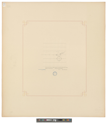
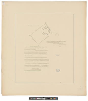
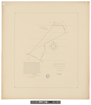
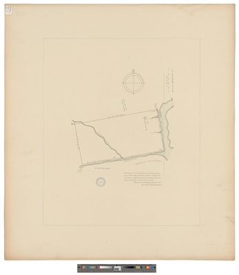
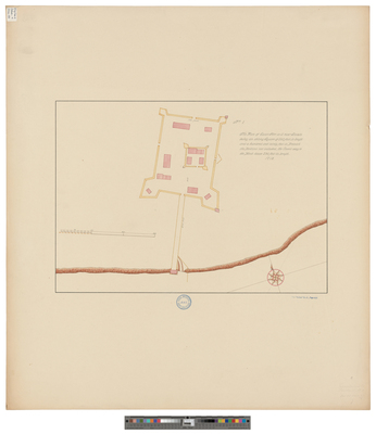
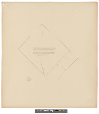
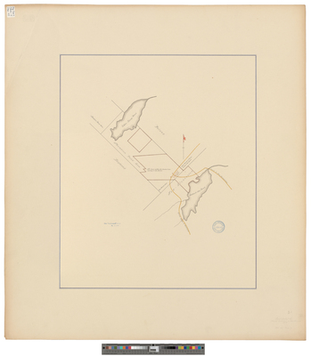
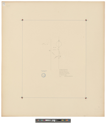
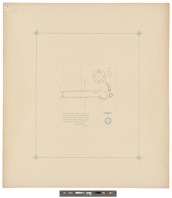
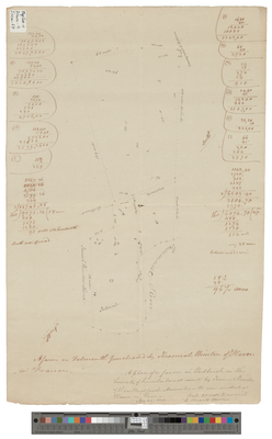
[Scarborough]. A Draft of a Parsell of Land and Mash [sic] or a Combined Farm Lyinge Att Ye Villedg of Dunston With Thine Ye Limits of Scarborough Province of Maine.
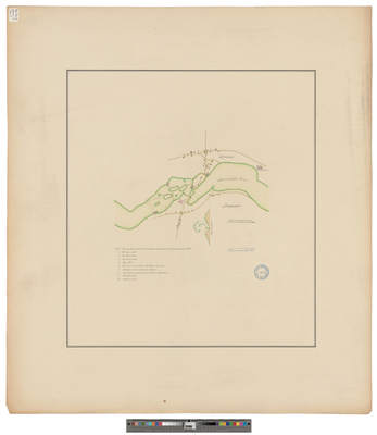
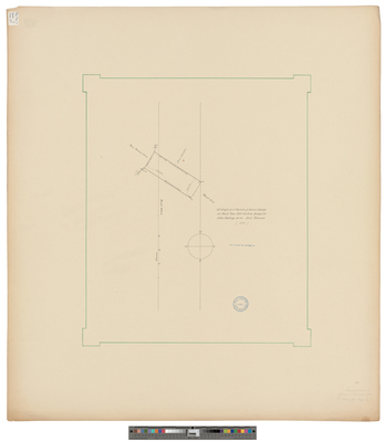
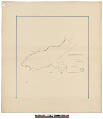
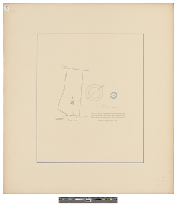
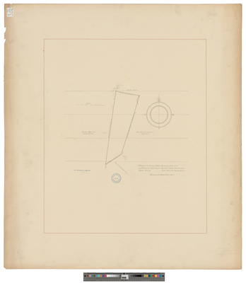
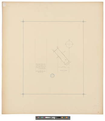
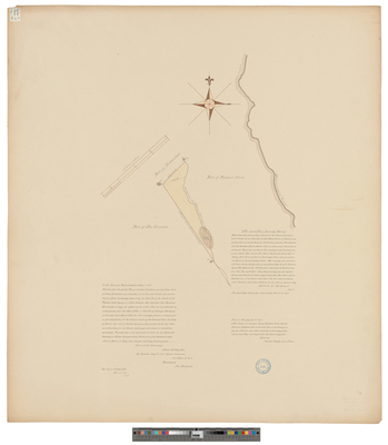
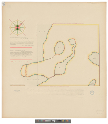
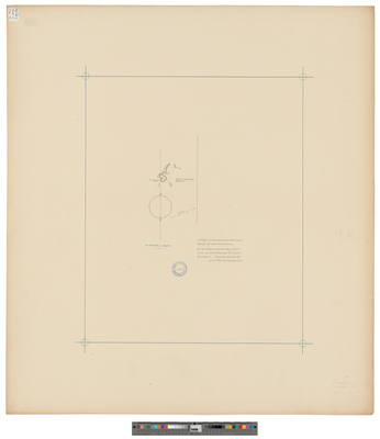
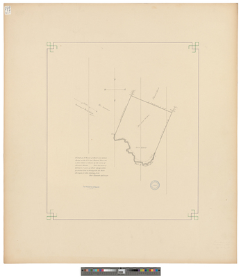
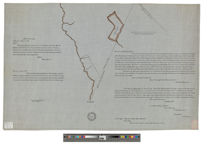
[Scarborough]. A Draft of a Parsel of Marsh and Upland Lyinge on the N.E. Side Nonsuch River att a Place Called or Known By the Name of Nonsuch Marshes.
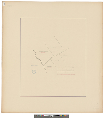
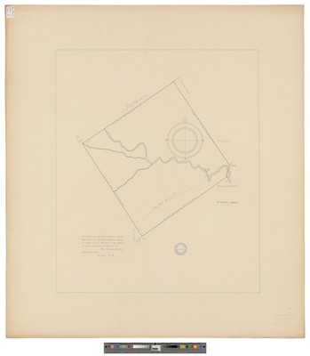
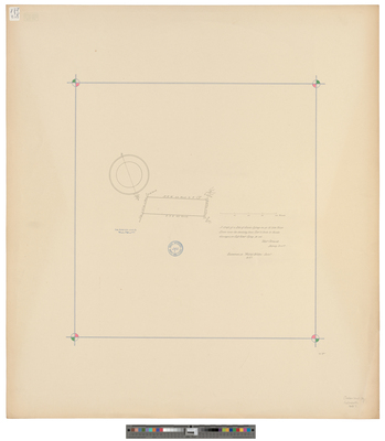
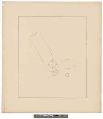
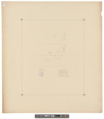
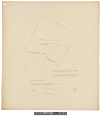
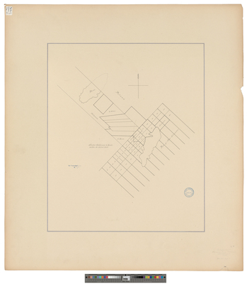
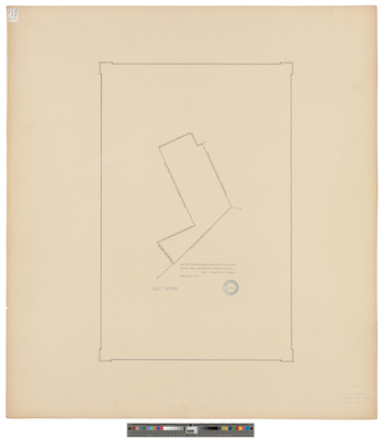
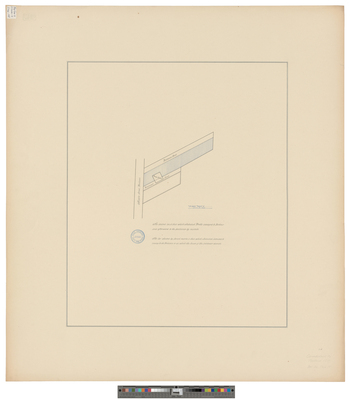
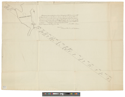
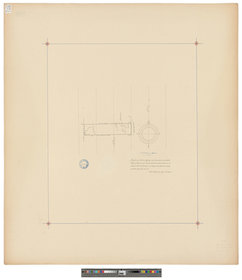
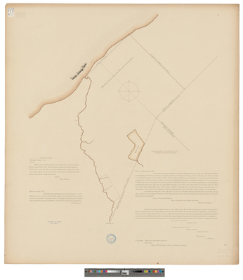
[Scarborough]. Drafft of a Farm Lyinge Att Blew Poynt On Ye West Side Ye River in Ye Towne of Scarborough Province of Maine
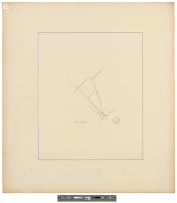
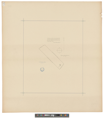
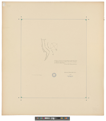
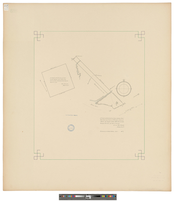
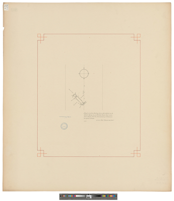
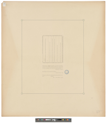
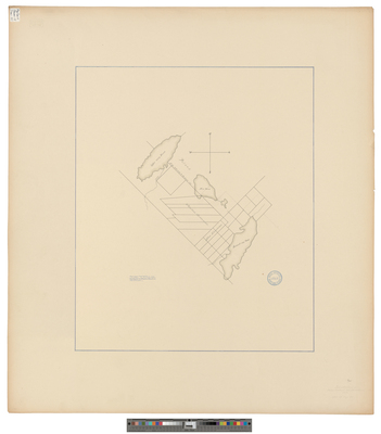
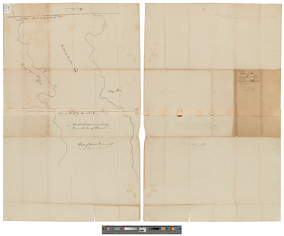
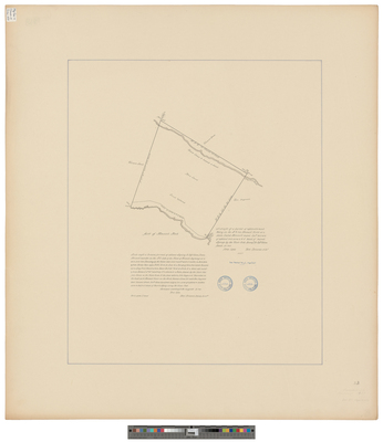
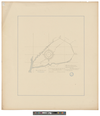
[Scarborough]. The Draft of Nonsuch Poynt Layd Out for Capt. Silvenus Davis
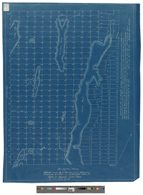
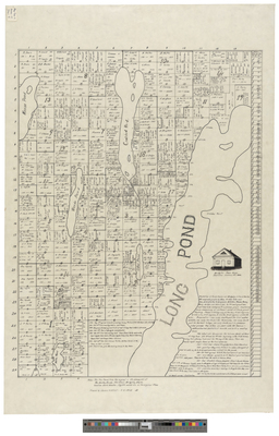
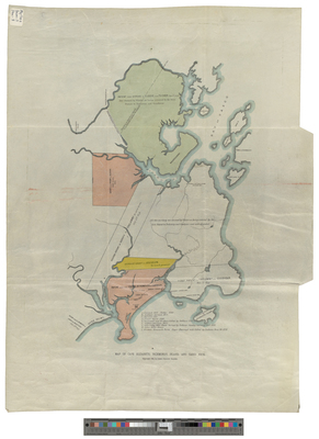
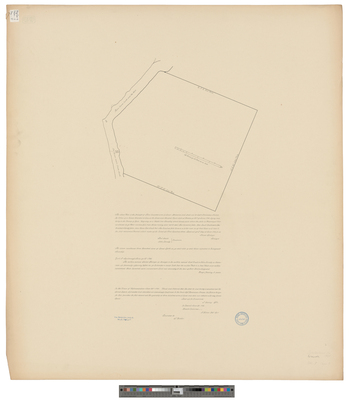
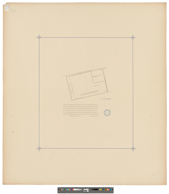
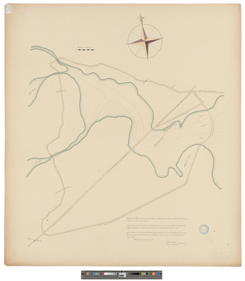
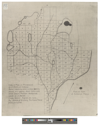
[Sebago]. Plan of Town of Sebago, Maine.
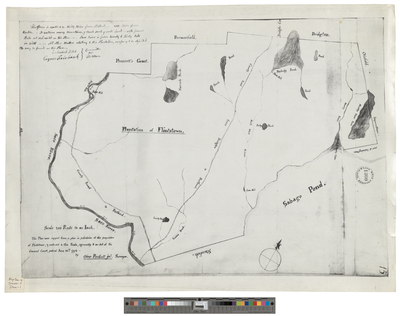
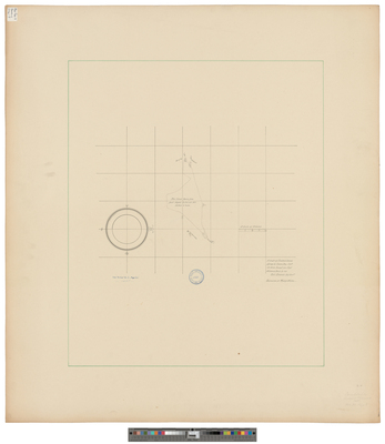
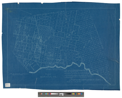
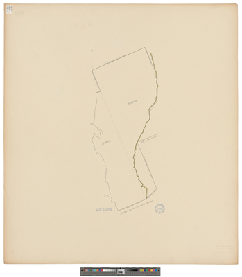
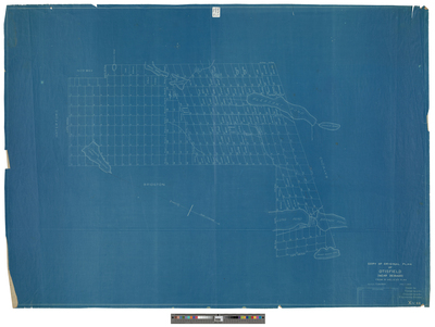
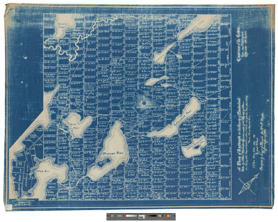
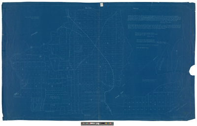
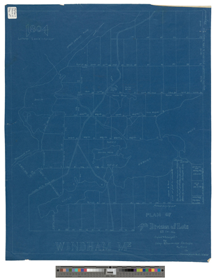
[Standish]. Blueprint survey of Standish taken from a copy drawn by George H. Emery with a piece from Buxton added in 1860.
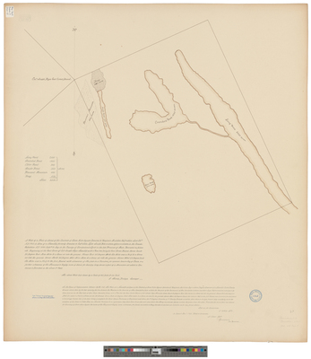
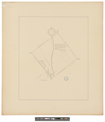
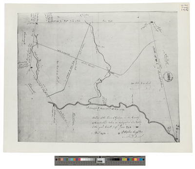
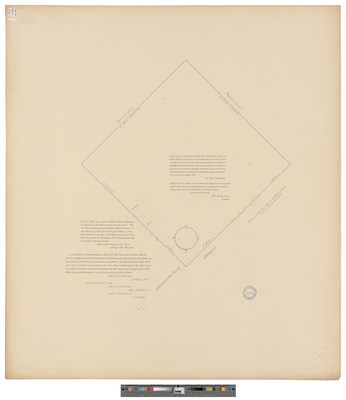
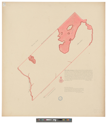
[Standish]. This Is A Plan or Description of a Tract of Land of the Contents of Six Miles Square Surveyed and Laid Out by Me the Subscriber by Virtue of a Grant Made by the Great and General Court at Their Sessions in April ye 13th 1750...
Westbrook
Page
8
of
9
3
4
5
6
7
8
9
Search
Enter search terms:
Select context to search:
in this collection
Digital Maine
Advanced Search
Notify me via email or
RSS
Browse
State Agencies
Subjects
Contributors
For Agency Contributors
FAQs
Featured Links
Maine Government
Maine State Library
Maine State Agencies
Digital Maine Partners
Gallery Locations
View gallery on map
View gallery in Google Earth


![[Scarborough]. A Draft of a Parsell of Land and Mash [sic] or a Combined Farm Lyinge Att Ye Villedg of Dunston With Thine Ye Limits of Scarborough Province of Maine. by Richard Clements](https://digitalmaine.com/maps_cumberland_county/1056/thumbnail.jpg "[Scarborough]. A Draft of a Parsell of Land and Mash [sic] or a Combined Farm Lyinge Att Ye Villedg of Dunston With Thine Ye Limits of Scarborough Province of Maine. by Richard Clements")
![[Scarborough]. A Draft of a Parsel of Marsh and Upland Lyinge on the N.E. Side Nonsuch River att a Place Called or Known By the Name of Nonsuch Marshes. by Richard Clements](https://digitalmaine.com/maps_cumberland_county/1054/thumbnail.jpg "[Scarborough]. A Draft of a Parsel of Marsh and Upland Lyinge on the N.E. Side Nonsuch River att a Place Called or Known By the Name of Nonsuch Marshes. by Richard Clements")
![[Scarborough]. Drafft of a Farm Lyinge Att Blew Poynt On Ye West Side Ye River in Ye Towne of Scarborough Province of Maine by Richard Clements](https://digitalmaine.com/maps_cumberland_county/1055/thumbnail.jpg "[Scarborough]. Drafft of a Farm Lyinge Att Blew Poynt On Ye West Side Ye River in Ye Towne of Scarborough Province of Maine by Richard Clements")
![[Scarborough]. The Draft of Nonsuch Poynt Layd Out for Capt. Silvenus Davis by Richard Clements](https://digitalmaine.com/maps_cumberland_county/1052/thumbnail.jpg "[Scarborough]. The Draft of Nonsuch Poynt Layd Out for Capt. Silvenus Davis by Richard Clements")
![[Sebago]. Plan of Town of Sebago, Maine. by Joseph S. Stickny](https://digitalmaine.com/maps_cumberland_county/1060/thumbnail.jpg "[Sebago]. Plan of Town of Sebago, Maine. by Joseph S. Stickny")
![[Standish]. Blueprint survey of Standish taken from a copy drawn by George H. Emery with a piece from Buxton added in 1860. by William Paine](https://digitalmaine.com/maps_cumberland_county/1061/thumbnail.jpg "[Standish]. Blueprint survey of Standish taken from a copy drawn by George H. Emery with a piece from Buxton added in 1860. by William Paine")
![[Standish]. This Is A Plan or Description of a Tract of Land of the Contents of Six Miles Square Surveyed and Laid Out by Me the Subscriber by Virtue of a Grant Made by the Great and General Court at Their Sessions in April ye 13th 1750... by Jonathan Small](https://digitalmaine.com/maps_cumberland_county/1062/thumbnail.jpg "[Standish]. This Is A Plan or Description of a Tract of Land of the Contents of Six Miles Square Surveyed and Laid Out by Me the Subscriber by Virtue of a Grant Made by the Great and General Court at Their Sessions in April ye 13th 1750... by Jonathan Small")
