

Preview
Contributing Institution
Maine State Archives
Document Type
StillImage
Identifier
4-300174-I062
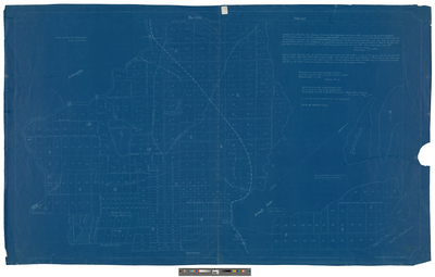
Description
Blueprint survey of Standish taken from a copy drawn by George H. Emery with a piece from Buxton added in 1860.
Broad Creation Date
1776-1860
Language
English
Location
Cumberland County; Standish
Keywords
Cartography; Maps; Surveys