Home
Search
Browse State Agencies
My Account
About
Digital Commons Network™
Skip to main content
Home
About
FAQs
My Account
Home
>
StateDocs
>
sos
>
ARCHIVES
>
ARC_IMG
>
ARC_MAPS
>
MAPS_BY_COUNTY
>
MAPS_CUMBERLAND_COUNTY
Cumberland County
Printing is not supported at the primary Gallery Thumbnail page. Please first navigate to a specific Image before printing.
Follow
Switch View to List
View Slideshow
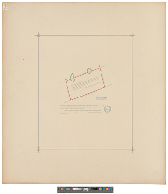
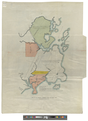
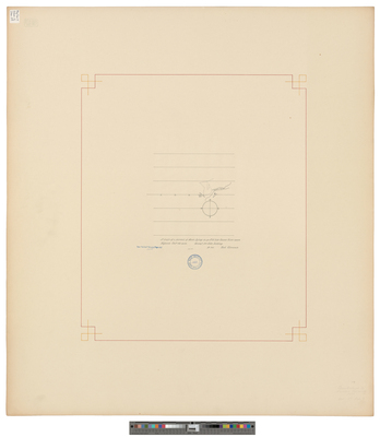
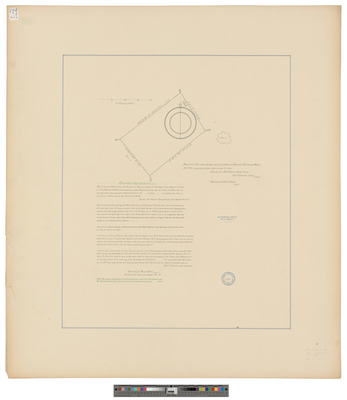
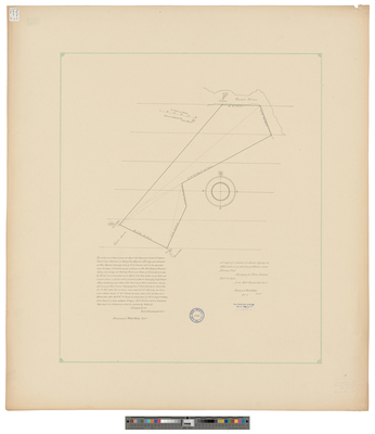
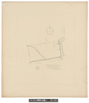
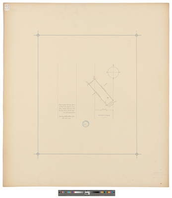
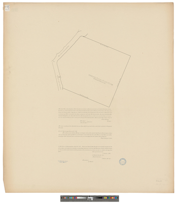
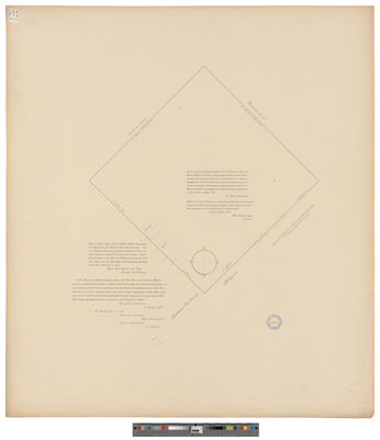
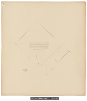
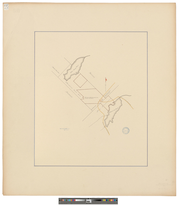
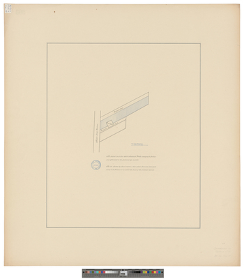
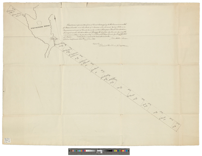
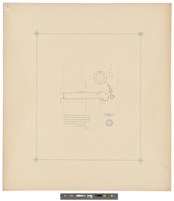
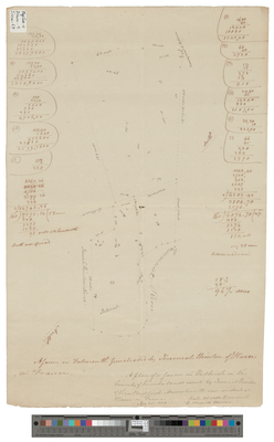
[Falmouth]. The Above Plan Is the Draught of Three Hundred Acres of Land Measured and Laid Out to Captain Dominicus Jordan...
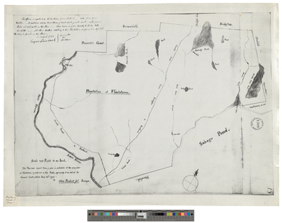
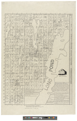
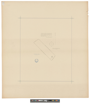
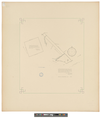
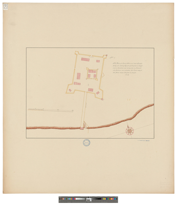
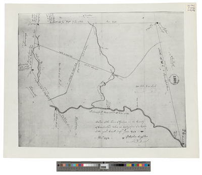
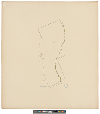
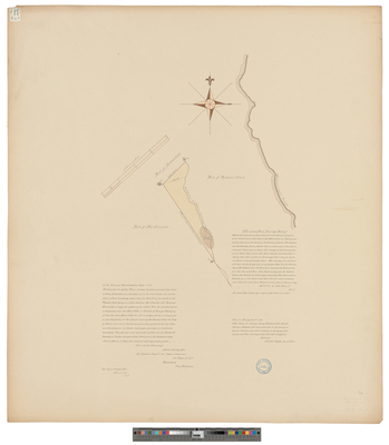
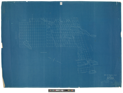
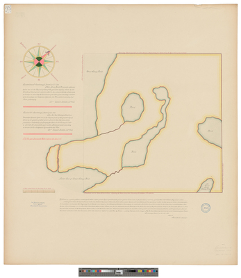
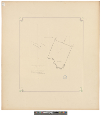
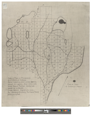
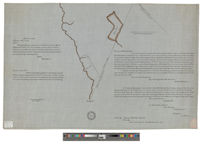
[Gorham]. A Plan of the Town of Gorham in the County of Cumberland Taken in Consequence of a Resolve of the General Court Passed June 1794.
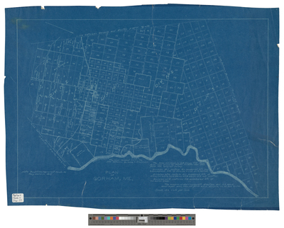
Gorham, Maine
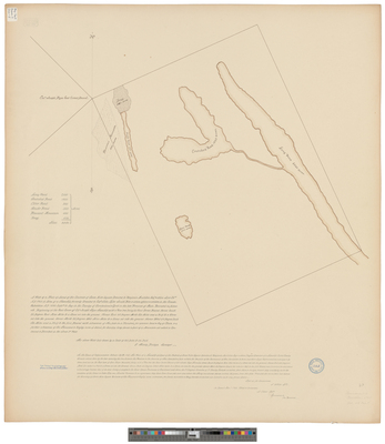
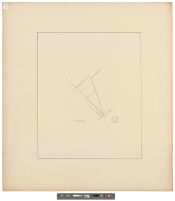
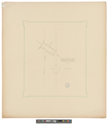
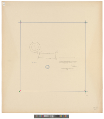
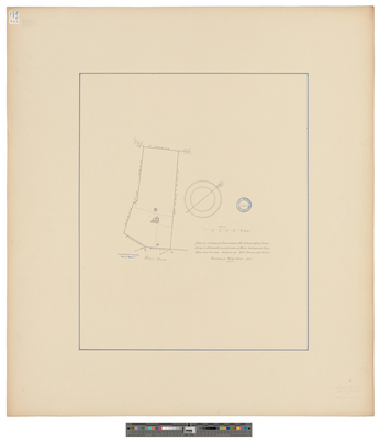
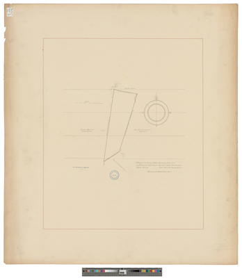
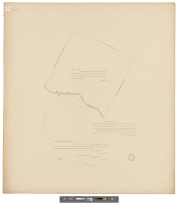
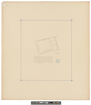
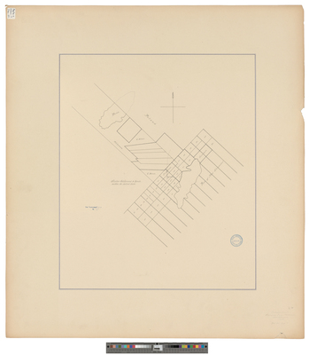
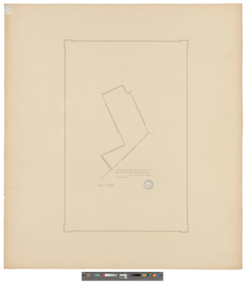
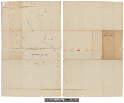
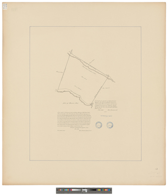
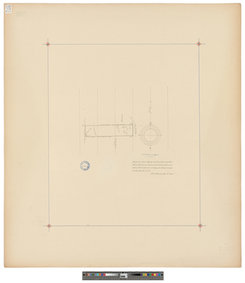
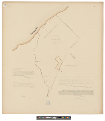
[Gorham]. Survey from Mr. Joseph Gilkey to Mr. Mosher 44 acres of land...
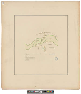
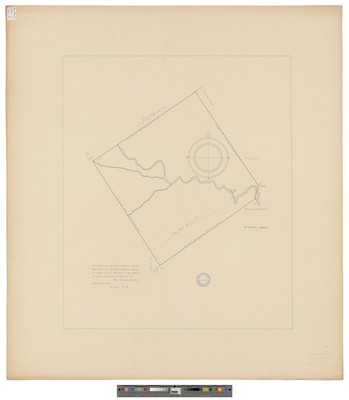
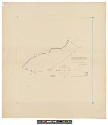
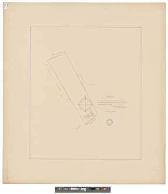
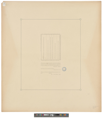
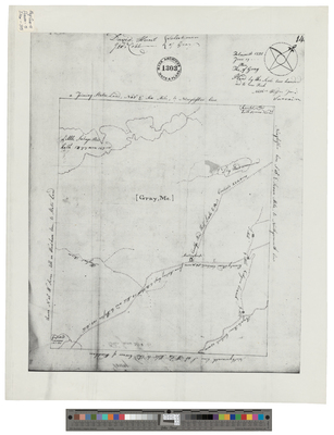
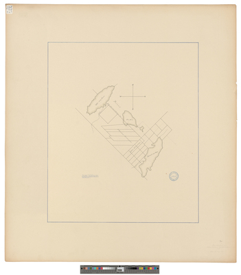
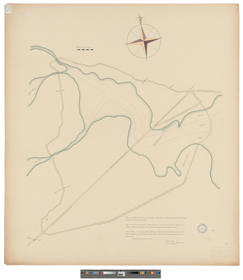
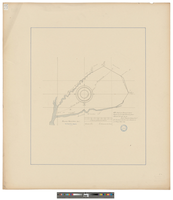
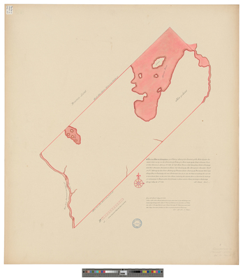
[Gray]. Land belonging to Jonathan Powers, John Hunt, and others.
Gray, Maine
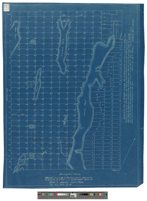
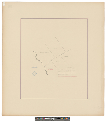
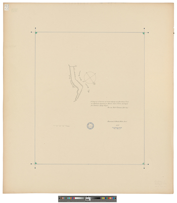
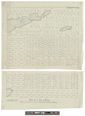
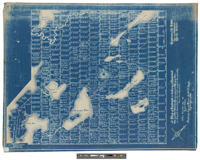
[Gray]. Plan of the Town of Gray.
Harrison, Maine.
Page
5
of
9
2
3
4
5
6
7
8
Search
Enter search terms:
Select context to search:
in this collection
Digital Maine
Advanced Search
Notify me via email or
RSS
Browse
State Agencies
Subjects
Contributors
For Agency Contributors
FAQs
Featured Links
Maine Government
Maine State Library
Maine State Agencies
Digital Maine Partners
Gallery Locations
View gallery on map
View gallery in Google Earth


![[Falmouth]. The Above Plan Is the Draught of Three Hundred Acres of Land Measured and Laid Out to Captain Dominicus Jordan... by James Springer](https://digitalmaine.com/maps_cumberland_county/1030/thumbnail.jpg "[Falmouth]. The Above Plan Is the Draught of Three Hundred Acres of Land Measured and Laid Out to Captain Dominicus Jordan... by James Springer")
![[Gorham]. A Plan of the Town of Gorham in the County of Cumberland Taken in Consequence of a Resolve of the General Court Passed June 1794. by Stephen Longfellow](https://digitalmaine.com/maps_cumberland_county/1031/thumbnail.jpg "[Gorham]. A Plan of the Town of Gorham in the County of Cumberland Taken in Consequence of a Resolve of the General Court Passed June 1794. by Stephen Longfellow")

![[Gorham]. Survey from Mr. Joseph Gilkey to Mr. Mosher 44 acres of land... by Lothrop Lewis](https://digitalmaine.com/maps_cumberland_county/1033/thumbnail.jpg "[Gorham]. Survey from Mr. Joseph Gilkey to Mr. Mosher 44 acres of land... by Lothrop Lewis")
![[Gray]. Land belonging to Jonathan Powers, John Hunt, and others. by Rowland Houghton](https://digitalmaine.com/maps_cumberland_county/1035/thumbnail.jpg "[Gray]. Land belonging to Jonathan Powers, John Hunt, and others. by Rowland Houghton")

![[Gray]. Plan of the Town of Gray.](https://digitalmaine.com/maps_cumberland_county/1036/thumbnail.jpg "[Gray]. Plan of the Town of Gray.")
