

Preview
Contributing Institution
Maine State Archives
Document Type
StillImage
Identifier
4-300174-I038
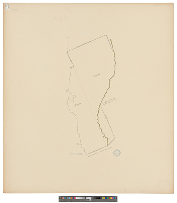
Description
Map of Harrison from "Act of Incorporation, March 8, 1805." Copied from Massachusetts Archives Maps and Plans #1698. Scale 200 rods to 1 inch.
Exact Creation Date
3-8-1805
Language
English
Location
Cumberland County; Bridgton; Oxford County; Otisfield; Harrison
Other Location
Crooked River
Keywords
Cartography; Maps; Surveys