Home
Search
Browse State Agencies
My Account
About
Digital Commons Network™
Skip to main content
Home
About
FAQs
My Account
Home
>
StateDocs
>
sos
>
ARCHIVES
>
ARC_IMG
>
ARC_MAPS
>
MAPS_BY_COUNTY
>
MAPS_CUMBERLAND_COUNTY
Cumberland County
Printing is not supported at the primary Gallery Thumbnail page. Please first navigate to a specific Image before printing.
Follow
Switch View to List
View Slideshow
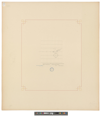
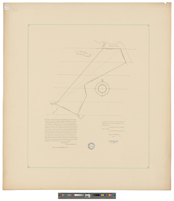
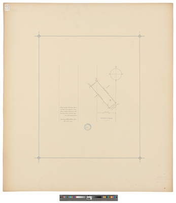
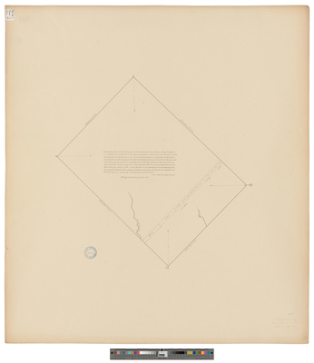
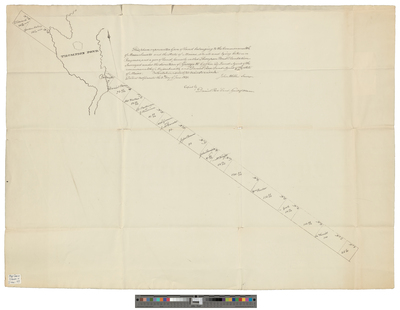
[New Gloucester].
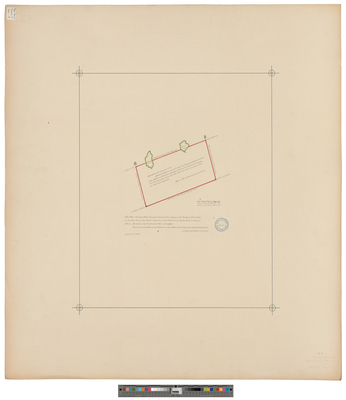
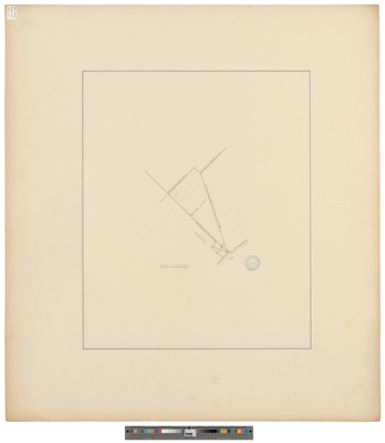
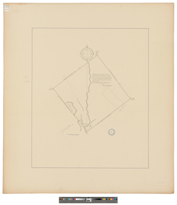
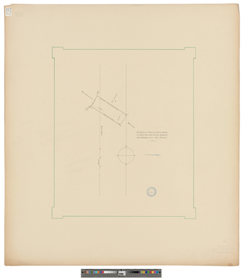
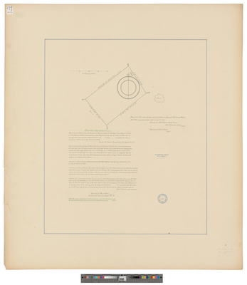
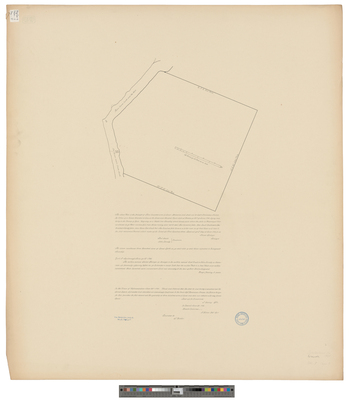
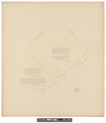
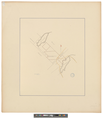
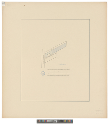
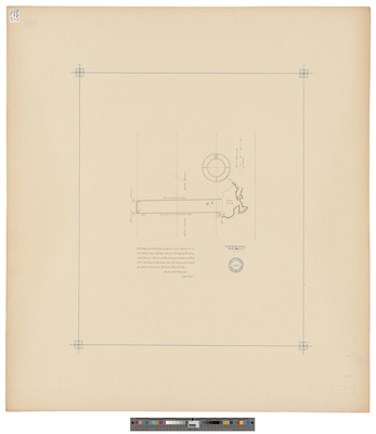
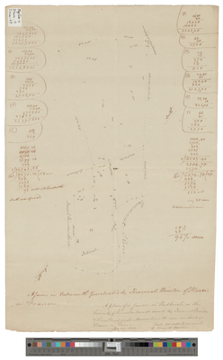
[New Gloucester]. Plan of 1600 acres of land granted to Ebenezer Hartshorn
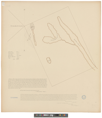
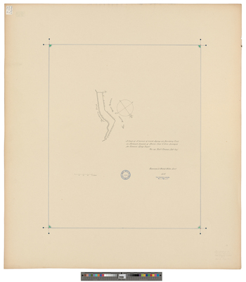
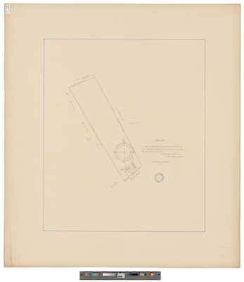
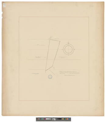
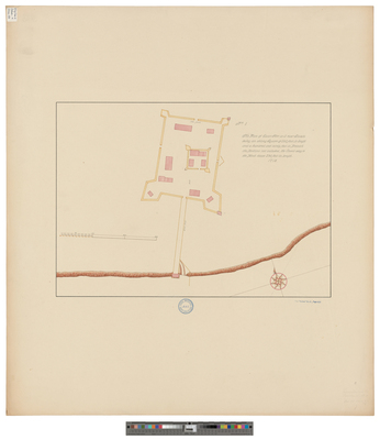
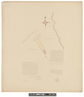
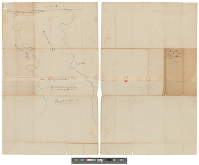
[New Gloucester]. Shaker Settlements
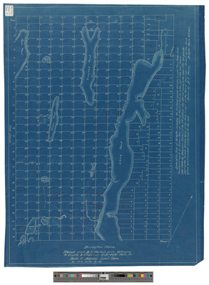
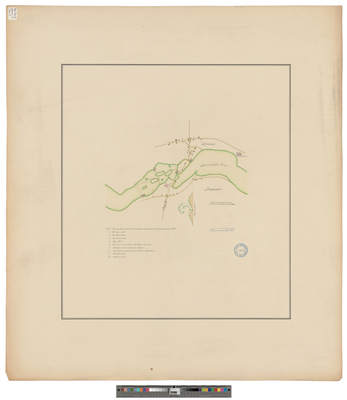
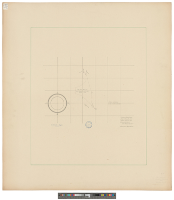
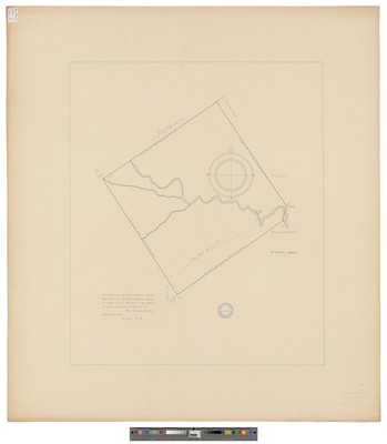
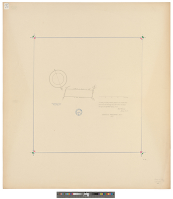
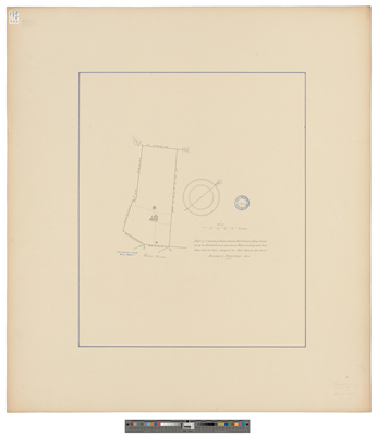
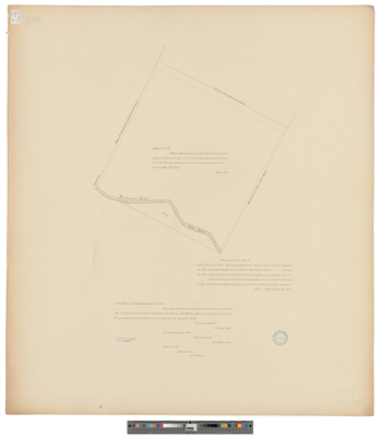
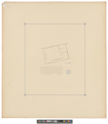
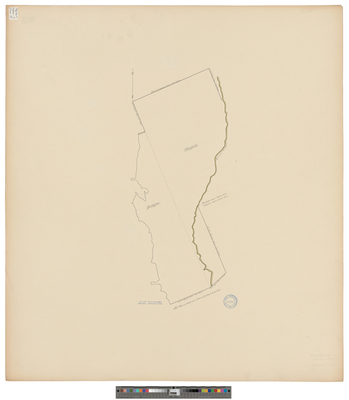
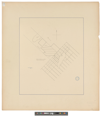
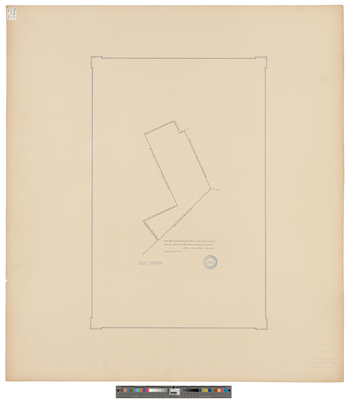
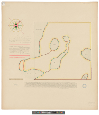
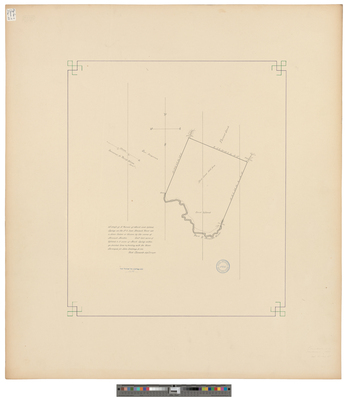
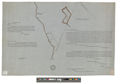
[New Gloucester]. Survey annexing part of Thompson Pond Pl. to New Gloucester
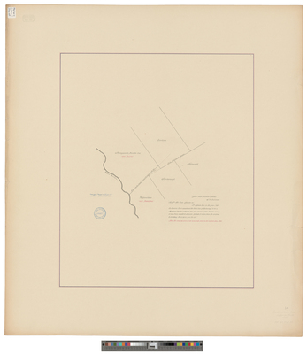
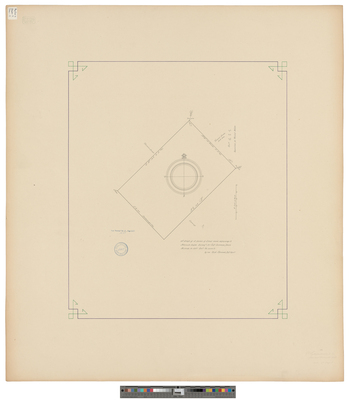
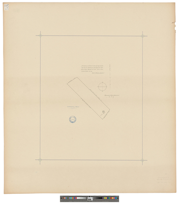
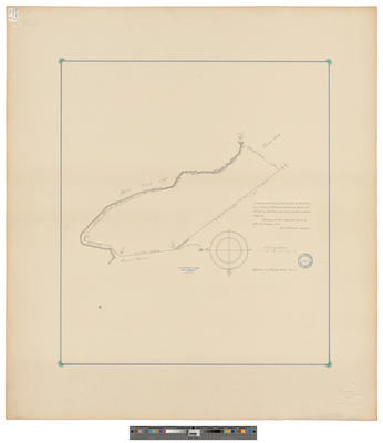
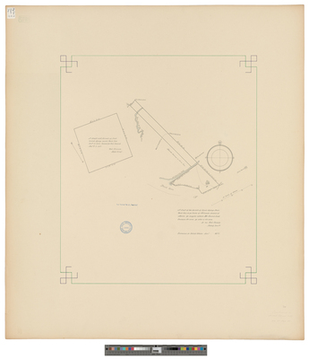
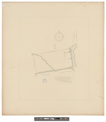
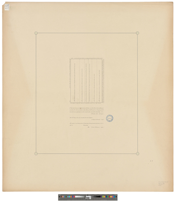
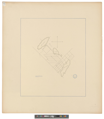
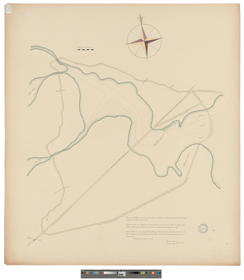
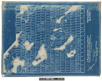
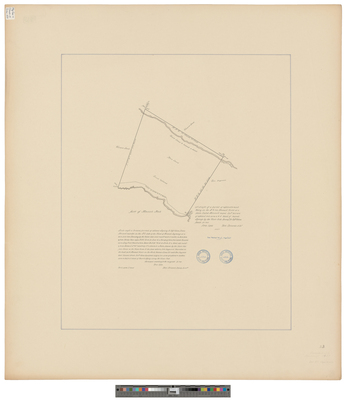
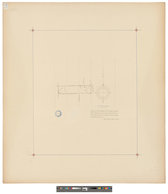
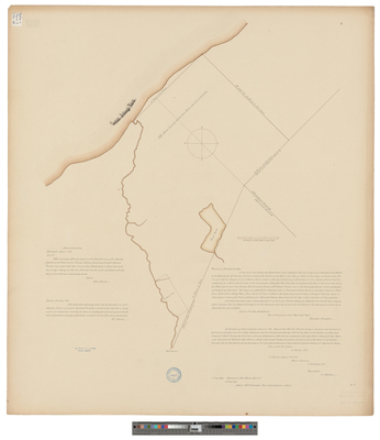
[New Gloucester]. Survey of the land belonging to the Shaker community.
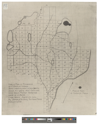
[Otisfield]. Copy of Original Plan of Otisfield (Near Sebago) From R. Holden's Plan
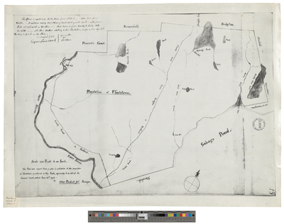
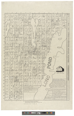
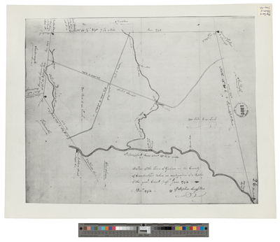
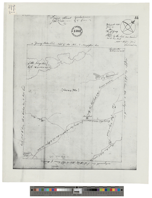
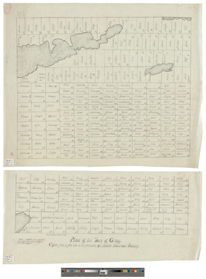
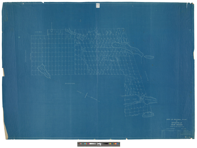
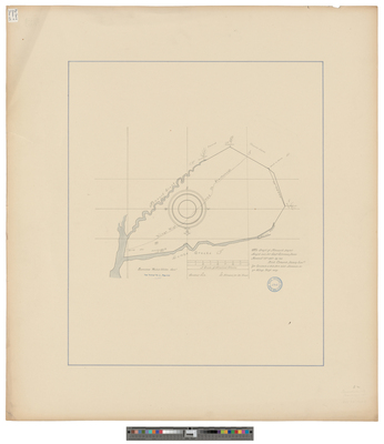
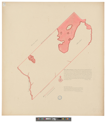
[Otisfield]. Plan of the Plantation of Otisfield
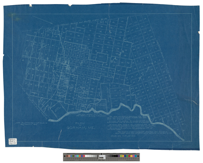
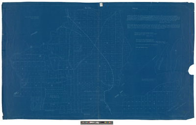
[Portland]. Plan of the Post Road from Colonel May's House to Nonsuch Bridge in Scarborough
Page
6
of
9
3
4
5
6
7
8
9
Search
Enter search terms:
Select context to search:
in this collection
Digital Maine
Advanced Search
Notify me via email or
RSS
Browse
State Agencies
Subjects
Contributors
For Agency Contributors
FAQs
Featured Links
Maine Government
Maine State Library
Maine State Agencies
Digital Maine Partners
Gallery Locations
View gallery on map
View gallery in Google Earth


![[New Gloucester]. by Edward King](https://digitalmaine.com/maps_cumberland_county/1038/thumbnail.jpg "[New Gloucester]. by Edward King")
![[New Gloucester]. Plan of 1600 acres of land granted to Ebenezer Hartshorn by John Brown Jr.](https://digitalmaine.com/maps_cumberland_county/1039/thumbnail.jpg "[New Gloucester]. Plan of 1600 acres of land granted to Ebenezer Hartshorn by John Brown Jr.")
![[New Gloucester]. Shaker Settlements](https://digitalmaine.com/maps_cumberland_county/1041/thumbnail.jpg "[New Gloucester]. Shaker Settlements")
![[New Gloucester]. Survey annexing part of Thompson Pond Pl. to New Gloucester](https://digitalmaine.com/maps_cumberland_county/1040/thumbnail.jpg "[New Gloucester]. Survey annexing part of Thompson Pond Pl. to New Gloucester")
![[New Gloucester]. Survey of the land belonging to the Shaker community.](https://digitalmaine.com/maps_cumberland_county/1042/thumbnail.jpg "[New Gloucester]. Survey of the land belonging to the Shaker community.")
![[Otisfield]. Copy of Original Plan of Otisfield (Near Sebago) From R. Holden's Plan by Rowland Holden](https://digitalmaine.com/maps_cumberland_county/1043/thumbnail.jpg "[Otisfield]. Copy of Original Plan of Otisfield (Near Sebago) From R. Holden's Plan by Rowland Holden")
![[Otisfield]. Plan of the Plantation of Otisfield by George Peirce](https://digitalmaine.com/maps_cumberland_county/1044/thumbnail.jpg "[Otisfield]. Plan of the Plantation of Otisfield by George Peirce")
![[Portland]. Plan of the Post Road from Colonel May's House to Nonsuch Bridge in Scarborough by Enoch Illsley and Joshua Rogers](https://digitalmaine.com/maps_cumberland_county/1046/thumbnail.jpg "[Portland]. Plan of the Post Road from Colonel May's House to Nonsuch Bridge in Scarborough by Enoch Illsley and Joshua Rogers")