

Preview
Contributing Institution
Maine State Archives
Document Type
StillImage
Identifier
4-300174-I045
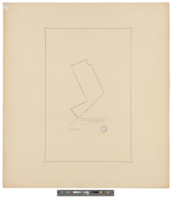
Description
Plan of the Plantation of Otisfield on a scale of 500 rods to 1 inch. From "Act of Incorporation, Otisfield, Feb. 19, 1798." Copied from Massachusetts Archives Maps and Plans #1460.
Exact Creation Date
6-14-1797
Language
English
Location
Cumberland County; Oxford County; Otisfield; Raymond; Bridgton
Other Location
Phillips Gore
Keywords
Cartography; Maps; Surveys