Home
Search
Browse State Agencies
My Account
About
Digital Commons Network™
Skip to main content
Home
About
FAQs
My Account
Home
>
StateDocs
>
sos
>
ARCHIVES
>
ARC_IMG
>
ARC_MAPS
>
MAPS_BY_COUNTY
>
MAPS_CUMBERLAND_COUNTY
Cumberland County
Printing is not supported at the primary Gallery Thumbnail page. Please first navigate to a specific Image before printing.
Follow
Switch View to List
View Slideshow
Cape Elizabeth, Richmond's Island, and Casco Neck
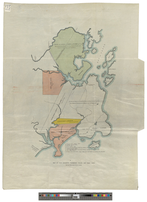
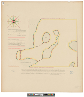
[Chebeague]. A draft of Caabeck Island Lyinge in Cassco Bay
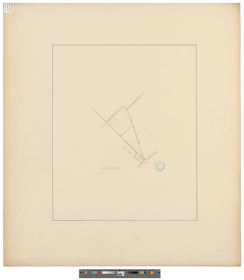
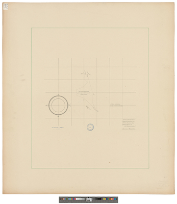
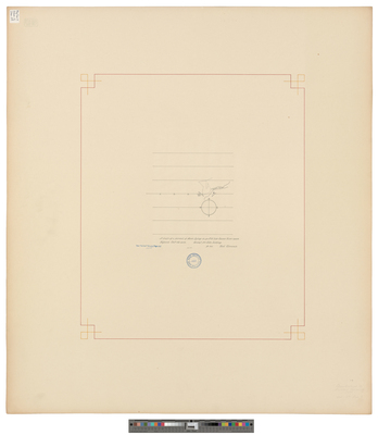
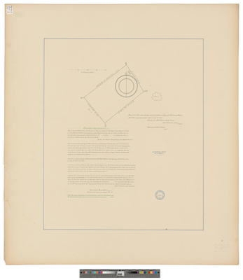
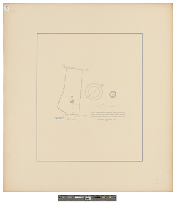
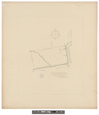
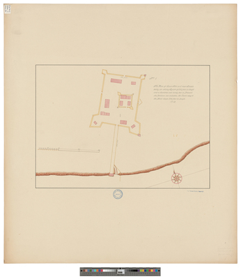
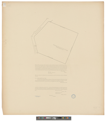
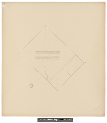
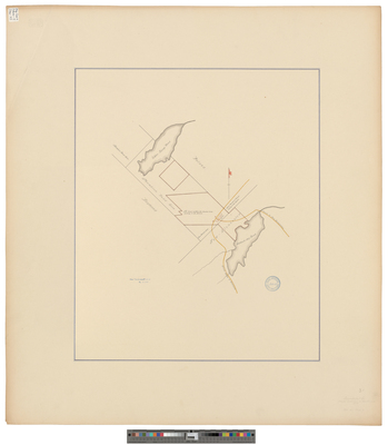
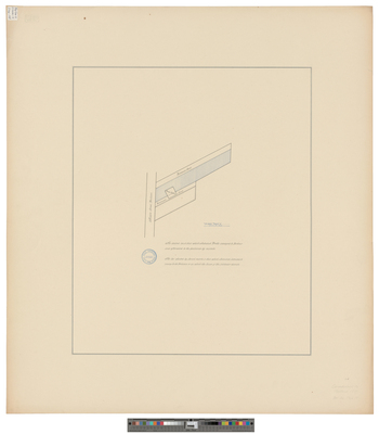
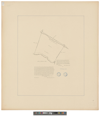
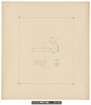
[Falmouth]. A Drafft of a Mile Square With One Dwelling House and a Saw Mill...
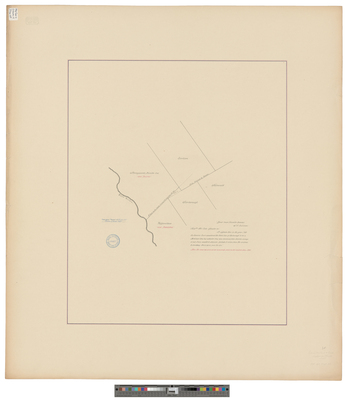
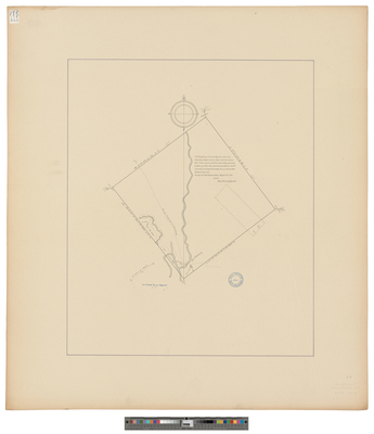
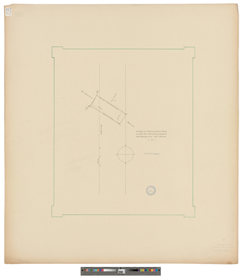
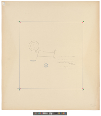
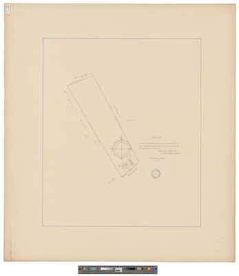
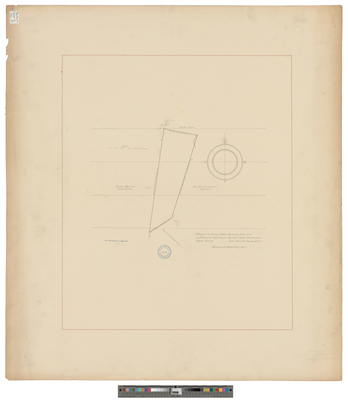
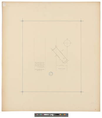
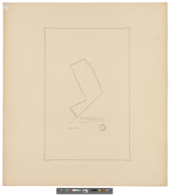
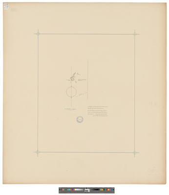
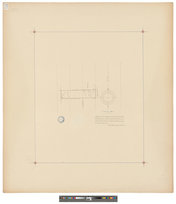
[Falmouth]. A Drafft of a Parcell of Land Neare Adjoyning To Nonsuch Poynt.
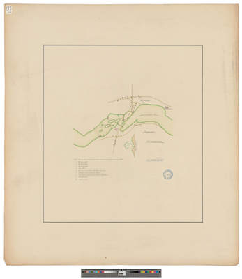
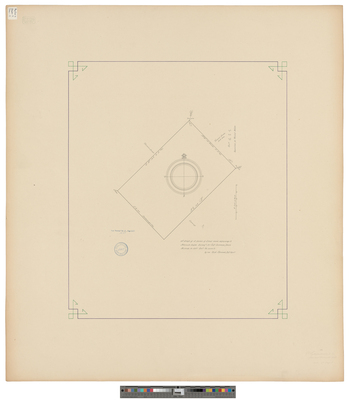
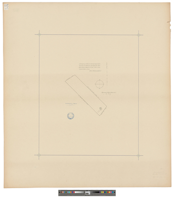
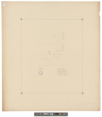
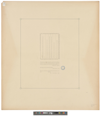
[Falmouth]. A Drafft of a Parrsell of Marsh Lyinge on Ye N.W. Side Cassco River Neare Kepisick.
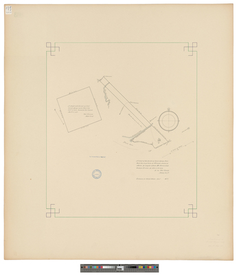
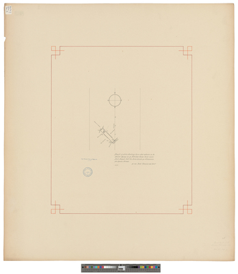
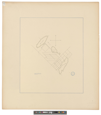
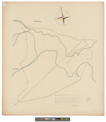
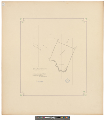
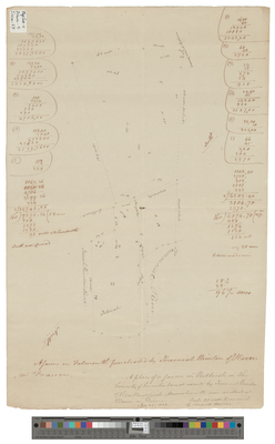
[Falmouth]. A Drafft of a Parsell of Land Lyinge att Back Cove Cont[aining] 55 Acres Surveyed for John Scellings by me Richard Clements, 1688
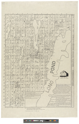
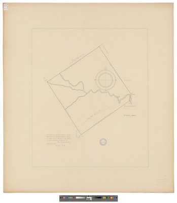
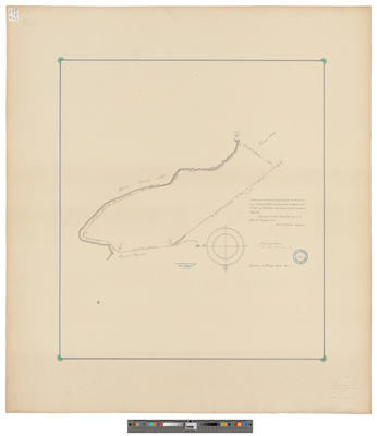
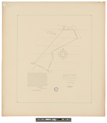
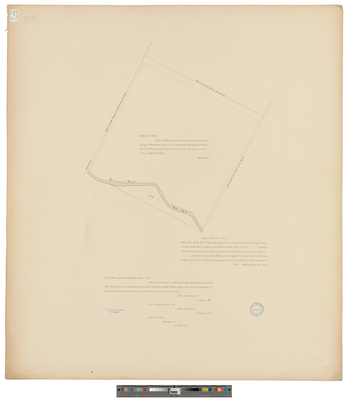
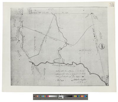
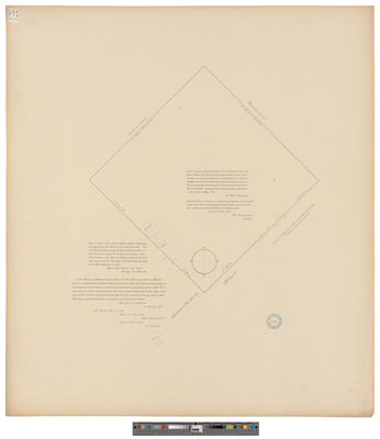
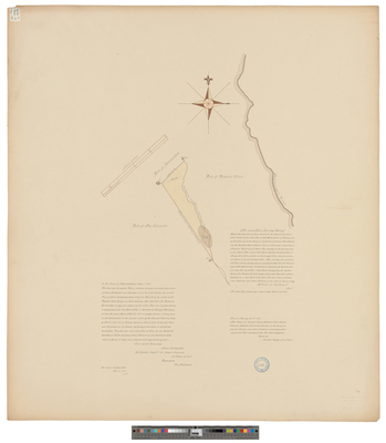
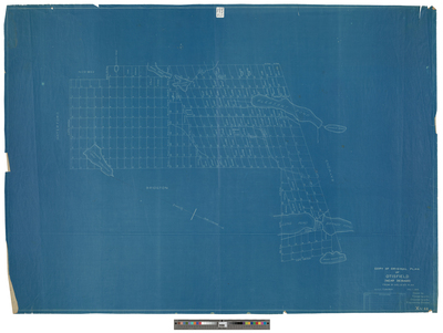
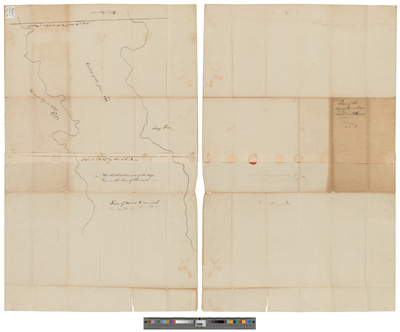
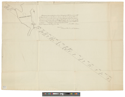
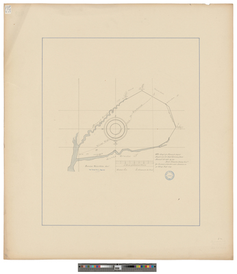
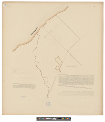
[Falmouth]. A Draft of A Certaine Tract of Land Surveyed For Captain Silvenos Davis Lying at Long Crick in Falmouth in the Province of Maine
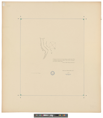
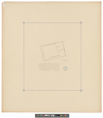
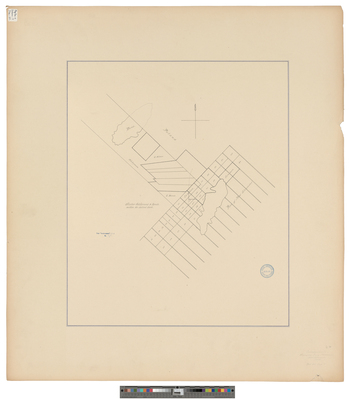
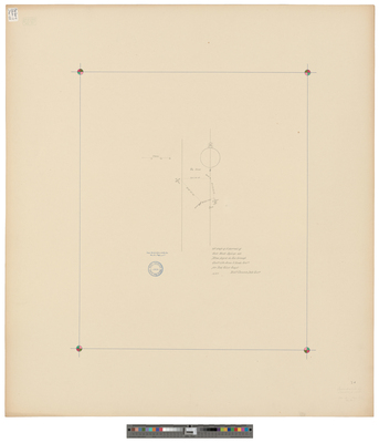
[Falmouth]. A Draft of a House Lott Lyinge Neare the Cove in Falmouth.
Page
2
of
9
1
2
3
4
5
6
7
Search
Enter search terms:
Select context to search:
in this collection
Digital Maine
Advanced Search
Notify me via email or
RSS
Browse
State Agencies
Subjects
Contributors
For Agency Contributors
FAQs
Featured Links
Maine Government
Maine State Library
Maine State Agencies
Digital Maine Partners
Gallery Locations
View gallery on map
View gallery in Google Earth


![[Chebeague]. A draft of Caabeck Island Lyinge in Cassco Bay by Richard Clements](https://digitalmaine.com/maps_cumberland_county/1008/thumbnail.jpg "[Chebeague]. A draft of Caabeck Island Lyinge in Cassco Bay by Richard Clements")
![[Falmouth]. A Drafft of a Mile Square With One Dwelling House and a Saw Mill... by Richard Clements](https://digitalmaine.com/maps_cumberland_county/1013/thumbnail.jpg "[Falmouth]. A Drafft of a Mile Square With One Dwelling House and a Saw Mill... by Richard Clements")
![[Falmouth]. A Drafft of a Parcell of Land Neare Adjoyning To Nonsuch Poynt. by Richard Clements](https://digitalmaine.com/maps_cumberland_county/1010/thumbnail.jpg "[Falmouth]. A Drafft of a Parcell of Land Neare Adjoyning To Nonsuch Poynt. by Richard Clements")
![[Falmouth]. A Drafft of a Parrsell of Marsh Lyinge on Ye N.W. Side Cassco River Neare Kepisick. by Richard Clements](https://digitalmaine.com/maps_cumberland_county/1027/thumbnail.jpg "[Falmouth]. A Drafft of a Parrsell of Marsh Lyinge on Ye N.W. Side Cassco River Neare Kepisick. by Richard Clements")
![[Falmouth]. A Drafft of a Parsell of Land Lyinge att Back Cove Cont[aining] 55 Acres Surveyed for John Scellings by me Richard Clements, 1688 by Richard Clements](https://digitalmaine.com/maps_cumberland_county/1026/thumbnail.jpg "[Falmouth]. A Drafft of a Parsell of Land Lyinge att Back Cove Cont[aining] 55 Acres Surveyed for John Scellings by me Richard Clements, 1688 by Richard Clements")
![[Falmouth]. A Draft of A Certaine Tract of Land Surveyed For Captain Silvenos Davis Lying at Long Crick in Falmouth in the Province of Maine by Richard Clements](https://digitalmaine.com/maps_cumberland_county/1020/thumbnail.jpg "[Falmouth]. A Draft of A Certaine Tract of Land Surveyed For Captain Silvenos Davis Lying at Long Crick in Falmouth in the Province of Maine by Richard Clements")
![[Falmouth]. A Draft of a House Lott Lyinge Neare the Cove in Falmouth. by Richard Clements and Phillip Welles](https://digitalmaine.com/maps_cumberland_county/1012/thumbnail.jpg "[Falmouth]. A Draft of a House Lott Lyinge Neare the Cove in Falmouth. by Richard Clements and Phillip Welles")