

Preview
Contributing Institution
Maine State Archives
Document Type
StillImage
Identifier
4-300174-I050
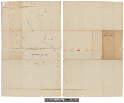
Description
Plan of land between Raymond and Standish. Scale of 40 rods to 1 inch.
Language
English
Location
Cumberland County; Raymond
Other Location
Sebago Pond
Keywords
Cartography; Maps; Surveys