

Preview
Contributing Institution
Maine State Archives
Document Type
StillImage
Identifier
4-300174-I051
Description
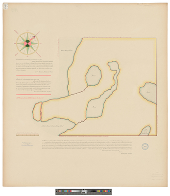
Survey of a grant of land containing six miles and three-quarters square granted to Capt. William Raymond and others in 1766.
Exact Creation Date
6-24-1766
Language
English
Location
Cumberland County; Raymond
Other Location
Great Sebago Pond; Little Sebago Pond
Keywords
Cartography; Maps; Surveys