Home > StateDocs > sos > ARCHIVES > ARC_IMG > ARC_LAND_OFFICE > PLANBOOK_MAPS > PLANBOOK_7
Follow
Page 4 of 8
Advanced Search


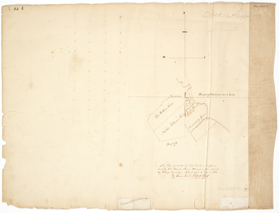
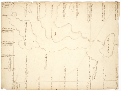
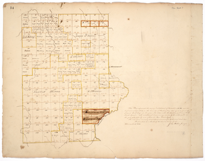
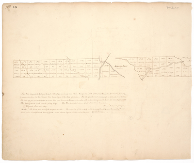
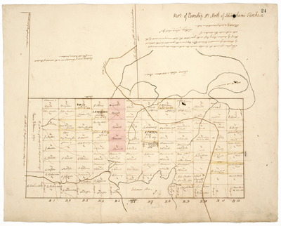
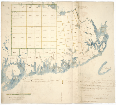
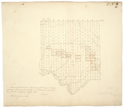
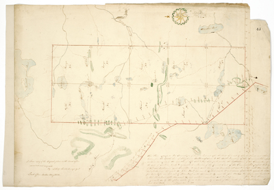
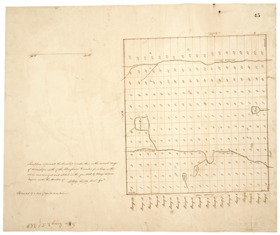
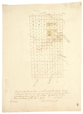
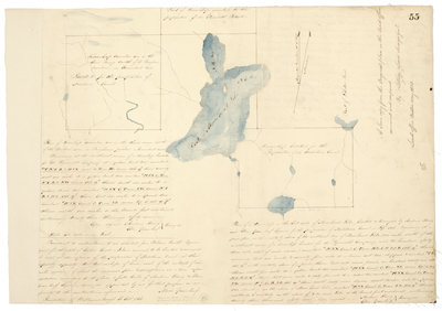
![Page 26. This plan represents the outlines of Township No. 4 first range North of the Bingham Purchase [T4 R1 NBP] as survey'd by George H. Moore with one hundred acres of timber land survey'd for Charles Doe... by George H. Moore and James Irish](https://digitalmaine.com/planbook_7/1025/thumbnail.jpg "Page 26. This plan represents the outlines of Township No. 4 first range North of the Bingham Purchase [T4 R1 NBP] as survey'd by George H. Moore with one hundred acres of timber land survey'd for Charles Doe... by George H. Moore and James Irish")


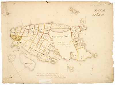
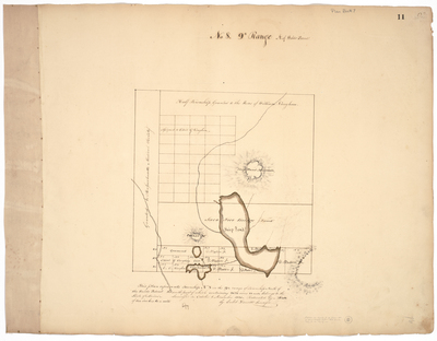
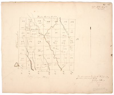
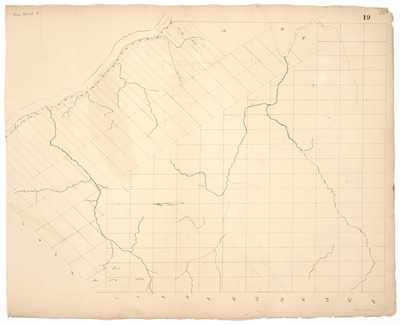
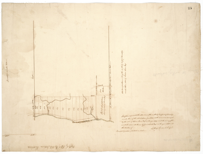
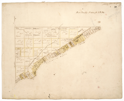
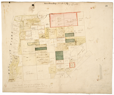
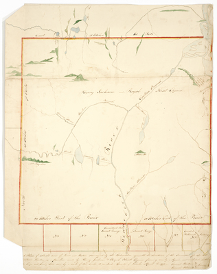
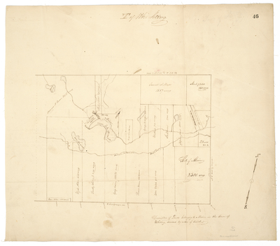
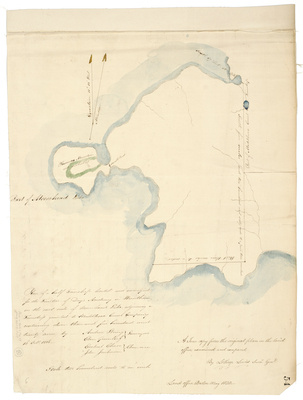
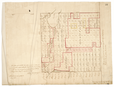
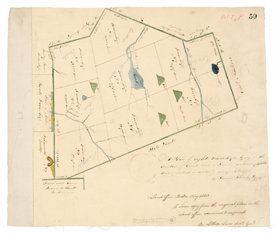
![Page 30. Plan of the River Township No.1 West of the Penobscot River [T1 R8 NWP]](https://digitalmaine.com/planbook_7/1029/thumbnail.jpg "Page 30. Plan of the River Township No.1 West of the Penobscot River [T1 R8 NWP]")

