

Preview
Document Type
StillImage
Contributing Institution
Maine State Archives
Identifier
209685
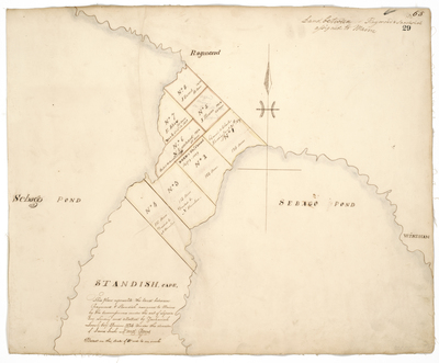
Description
Divisions of land between Raymond and Standish surveyed on a scale of 50 rods to one inch.
Exact Creation Date
1824
Language
English
Location
Cumberland County; Standish; Raymond
Other Location
Sebago Pond; Windham
Keywords
Cartography; Maps; Maine Land Office; Planbooks; Surveys