Home
Search
Browse State Agencies
My Account
About
Digital Commons Network™
Skip to main content
Home
About
FAQs
My Account
Home
>
StateDocs
>
sos
>
ARCHIVES
>
ARC_IMG
>
ARC_LAND_OFFICE
>
PLANBOOK_MAPS
>
PLANBOOK_7
Plan Book 7
Printing is not supported at the primary Gallery Thumbnail page. Please first navigate to a specific Image before printing.
Follow
Switch View to List
View Slideshow
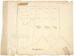
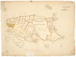
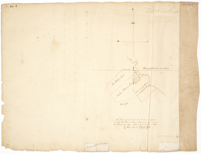
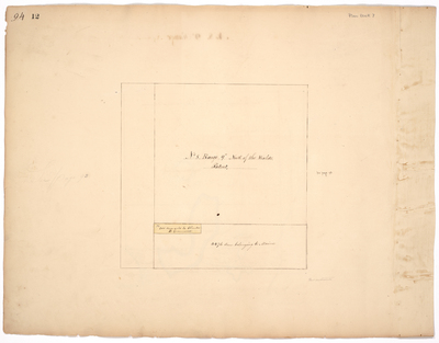
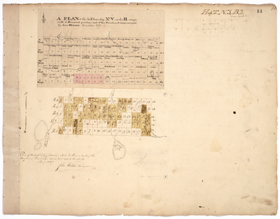
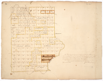
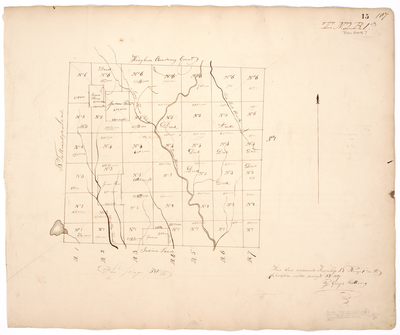
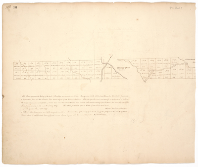
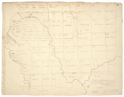
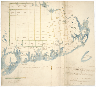
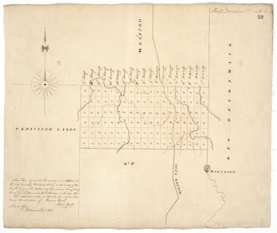
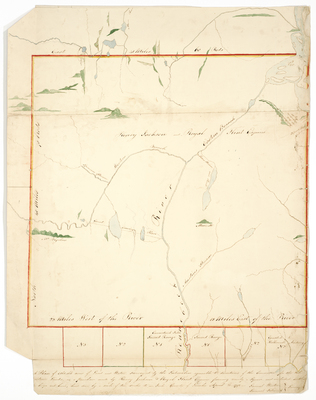
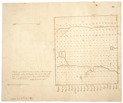
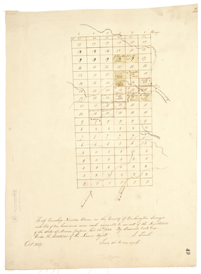
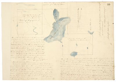
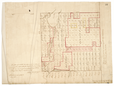
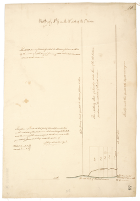
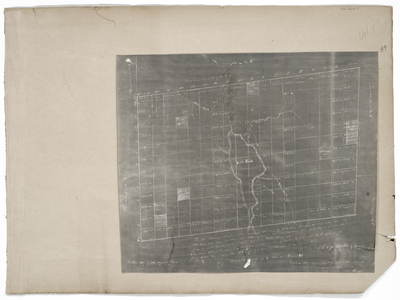
Page 01. Plan representing lands in the Town of Sedgwick
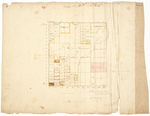
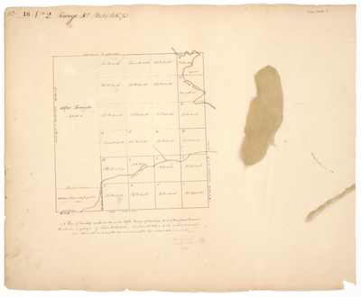
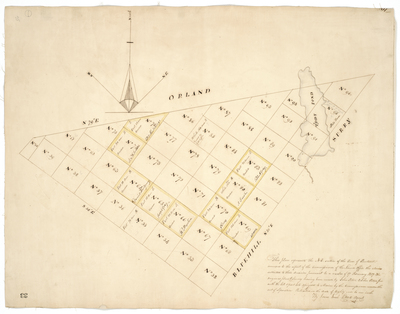
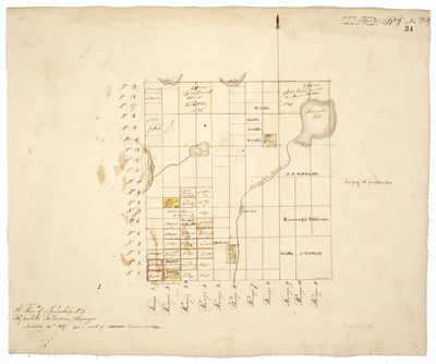
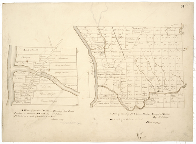
Page 02. A Plan of Township No. 2
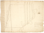
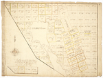
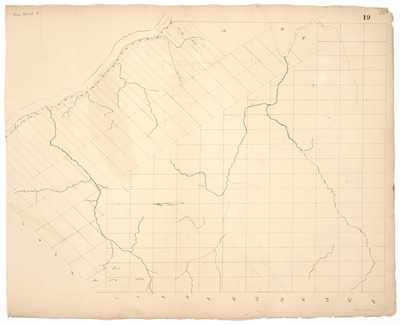
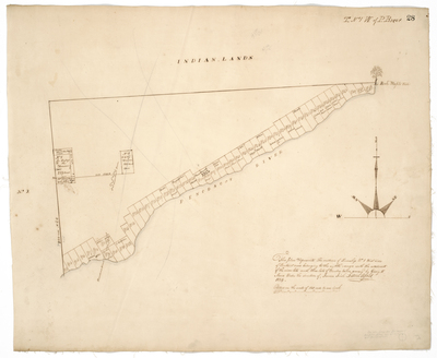
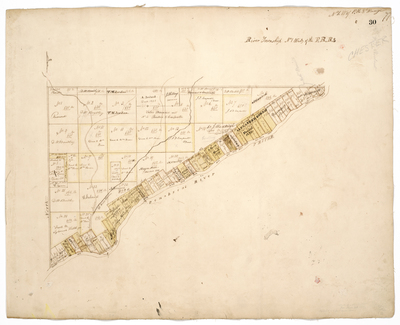
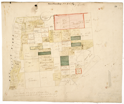
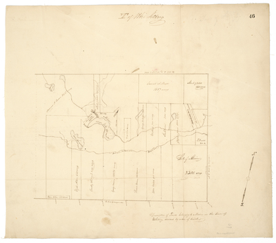
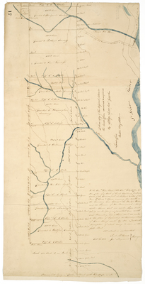
Page 03. This plan represents River Township No. 2 East side of Penobscot River with the lots laid out on said river and also two timber lots
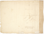
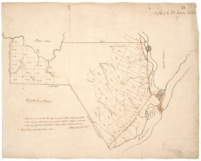
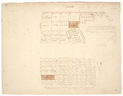
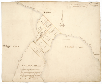
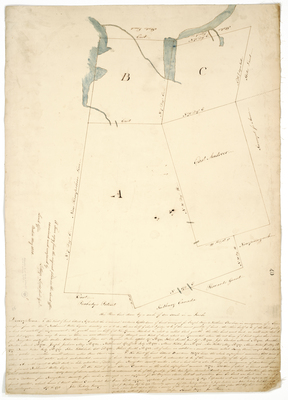
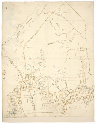
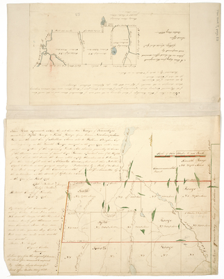
Page 04. This Plan represents the State's land in Sanford as survey'd by John Hanson ADomini 1808 and a plan return'd by Lothrop Lewis Esq. Sold to Gen'l E. Allen in 1824.
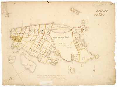
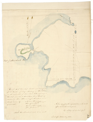
Page 05. This plan represents the Great Isle of Holt as survey'd and attested by Lothrop Lewis, Esq. ADomini 1802.
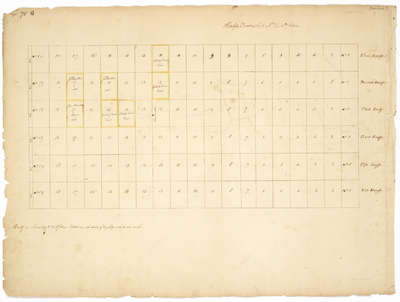
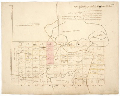
Page 06. Plan of Half Township No. 11 St. John
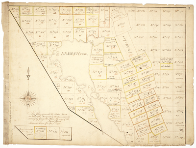
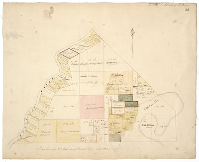
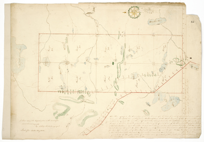
Page 07. This Plan represents the State's Land in Ellsworth, assigned by the Commissioners survey'd by George H. Moore by order of the Land Agent.
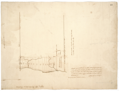
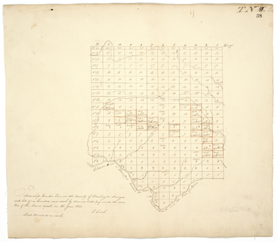
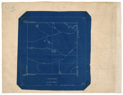
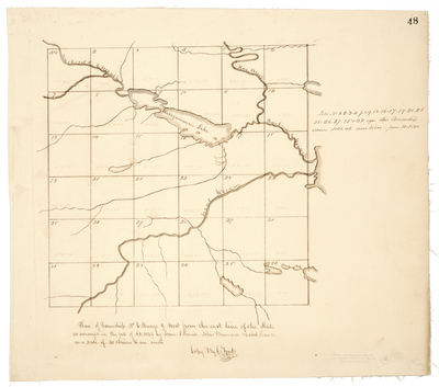
Page 08. Plan of T3 IP and T4 IP in Penobscot County.
Page
1
of
8
1
2
3
4
5
6
7
Search
Enter search terms:
Select context to search:
in this collection
Digital Maine
Advanced Search
Notify me via email or
RSS
Browse
State Agencies
Subjects
Contributors
For Agency Contributors
FAQs
Featured Links
Maine Government
Maine State Library
Maine State Agencies
Digital Maine Partners
Gallery Locations
View gallery on map
View gallery in Google Earth