Home
Search
Browse State Agencies
My Account
About
Digital Commons Network™
Skip to main content
Home
About
FAQs
My Account
Home
>
StateDocs
>
sos
>
ARCHIVES
>
ARC_IMG
>
ARC_LAND_OFFICE
>
PLANBOOK_MAPS
>
PLANBOOK_7
Plan Book 7
Printing is not supported at the primary Gallery Thumbnail page. Please first navigate to a specific Image before printing.
Follow
Switch View to List
View Slideshow
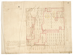
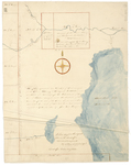
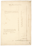
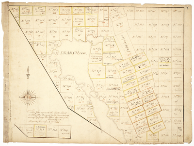
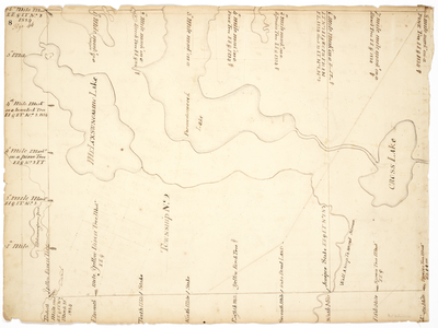
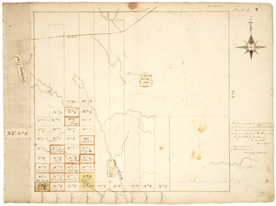
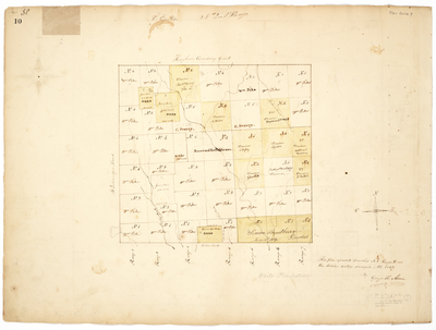
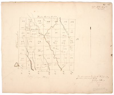
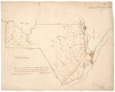
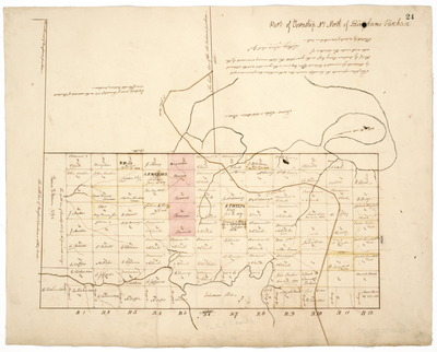
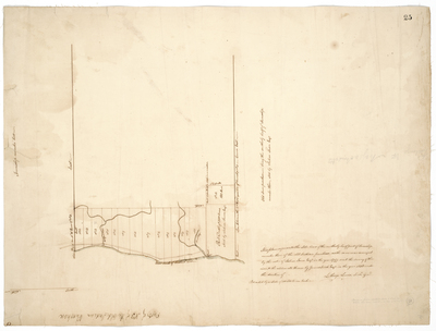
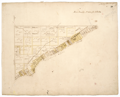
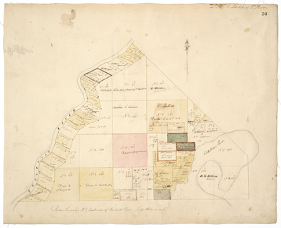
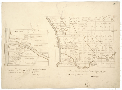
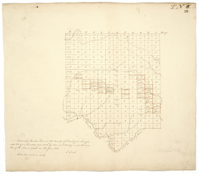
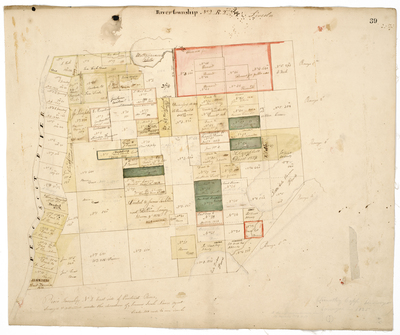
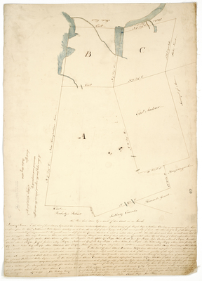
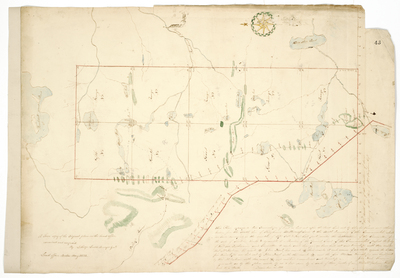
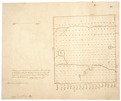
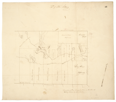
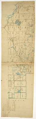
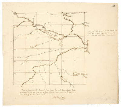
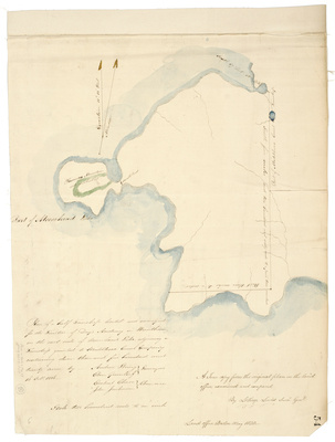
Page 56. This plan represents the Township number four in the first range of Townships north of the Bingham Kennebec Purchase; 1818
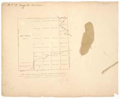
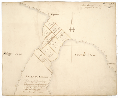
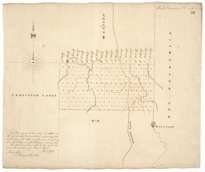
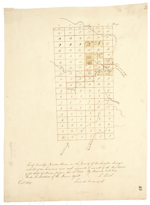
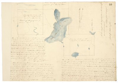
Page 57. Township of land surveyed for the Maine Literary & Theological Institution and one third of a township for the inhabitants of the town of Pittston
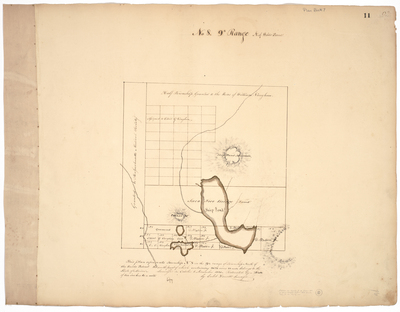
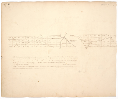
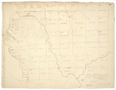
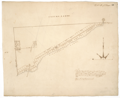
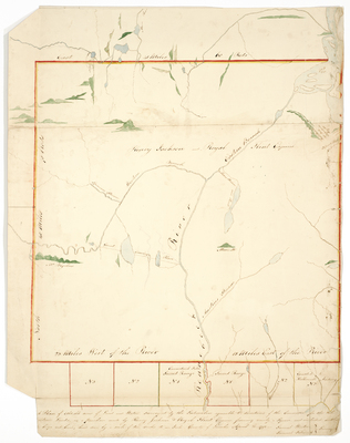
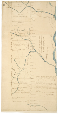
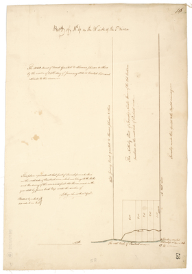
Page 58. This plan represents all that part of Township number Four on the west side of Penobscot river which now belongs to the State.
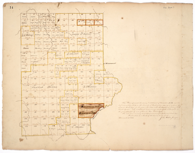
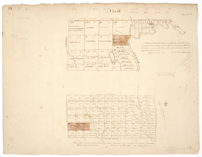
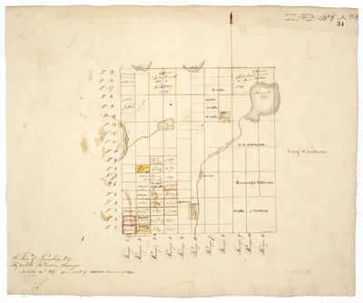
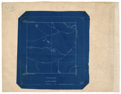
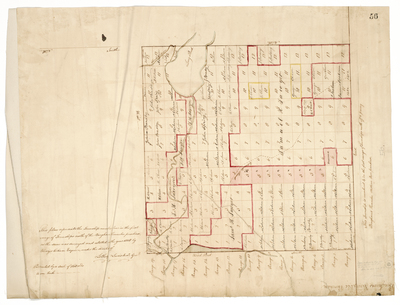
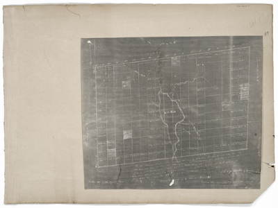
Page 59.1. This Plan represents Township No. 5 known by the name of Webb's Pond Township as now lotted out into 160 acre lots.
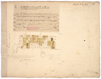
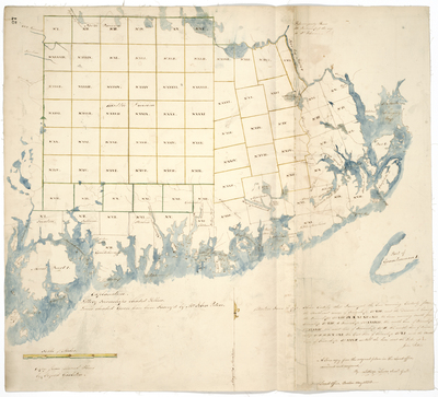
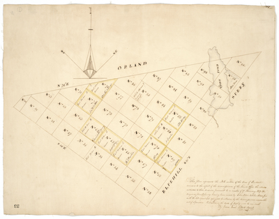
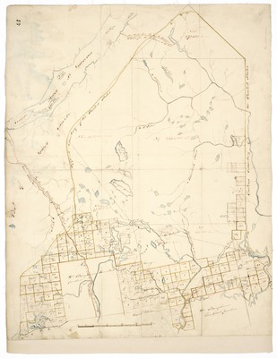
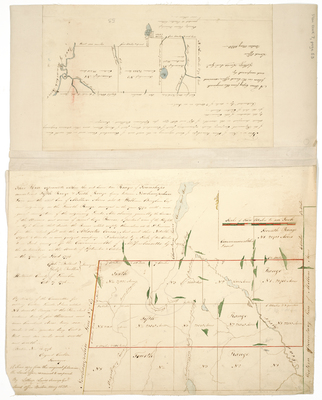
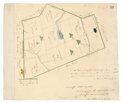
Page 59. A plan of eight Townships, lying in the counties of Cumberland and Lincoln, containing 194,361 acres (excluding water) surveyed A.D. 1793
Page
8
of
8
2
3
4
5
6
7
8
Search
Enter search terms:
Select context to search:
in this collection
Digital Maine
Advanced Search
Notify me via email or
RSS
Browse
State Agencies
Subjects
Contributors
For Agency Contributors
FAQs
Featured Links
Maine Government
Maine State Library
Maine State Agencies
Digital Maine Partners
Gallery Locations
View gallery on map
View gallery in Google Earth