Home > StateDocs > sos > ARCHIVES > ARC_IMG > ARC_LAND_OFFICE > PLANBOOK_MAPS > PLANBOOK_7
Follow
Page 3 of 8
Advanced Search


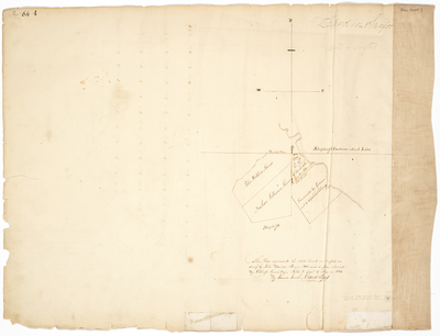
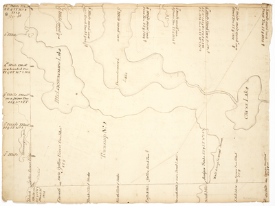
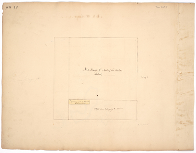
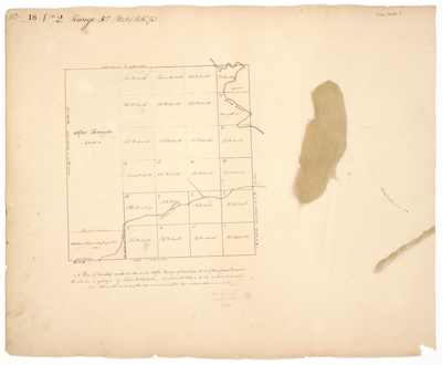
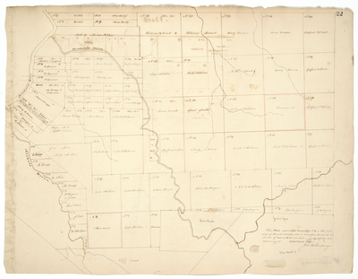
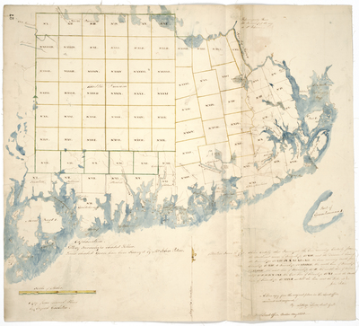
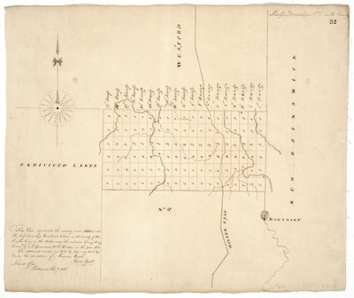
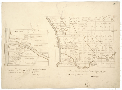
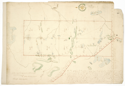
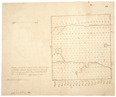
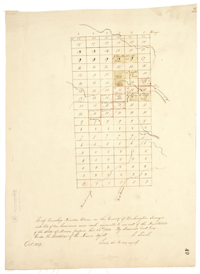
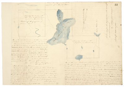
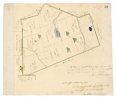
![Page 17. Plan of the south half of Township No. A in the 5th Range [TAR5 WELS]](https://digitalmaine.com/planbook_7/1016/thumbnail.jpg "Page 17. Plan of the south half of Township No. A in the 5th Range [TAR5 WELS]")


