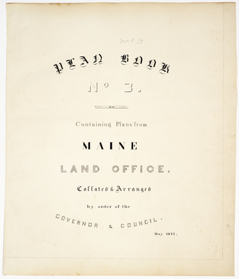
Home > StateDocs > sos > ARCHIVES > ARC_IMG > ARC_LAND_OFFICE > PLANBOOK_MAPS > PLANBOOK_3
Follow
Advanced Search


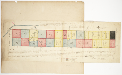
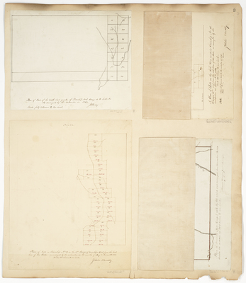
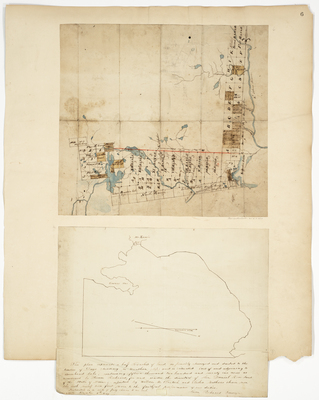
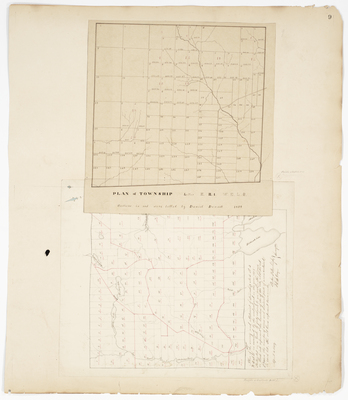
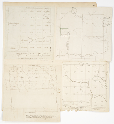
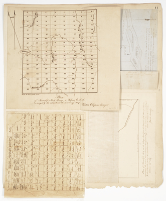
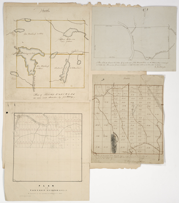
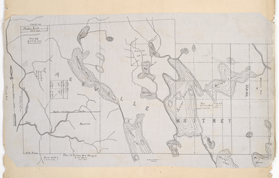
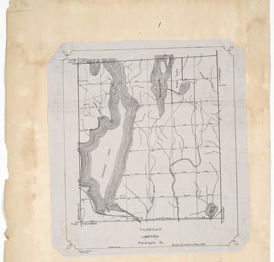
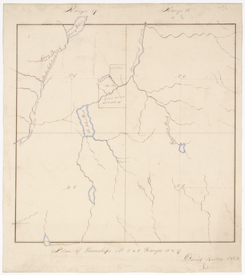
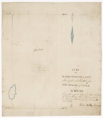
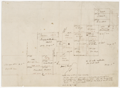
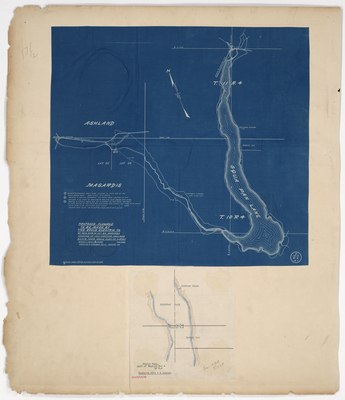
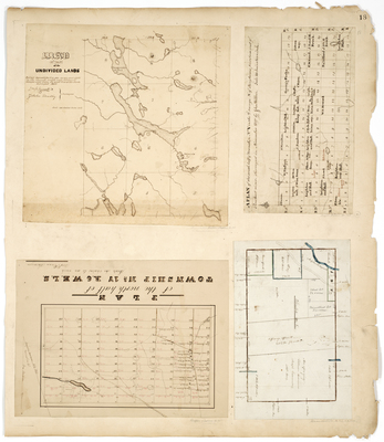
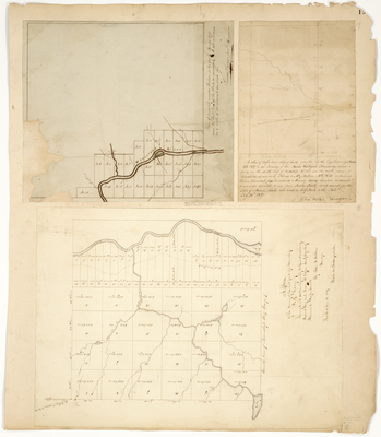
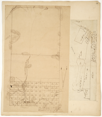
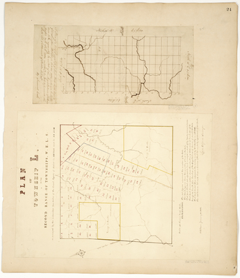
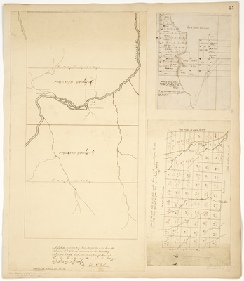
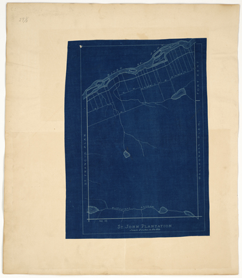
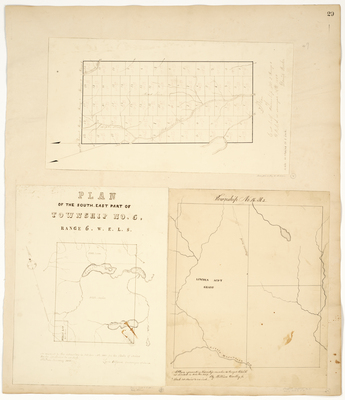
; Plan of Township 17 Range 6 WELS; Plan of Township 8; Plan of southern half of Township 5 Range 2 by John Webber, William D. Dana, Zebulon Bradley, and William P. Parrott")
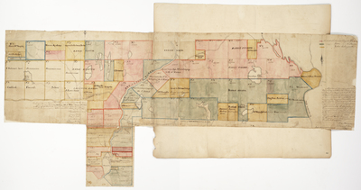
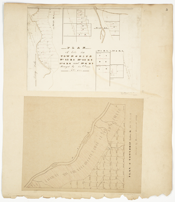
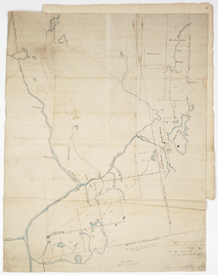
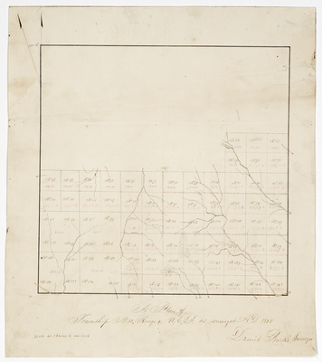
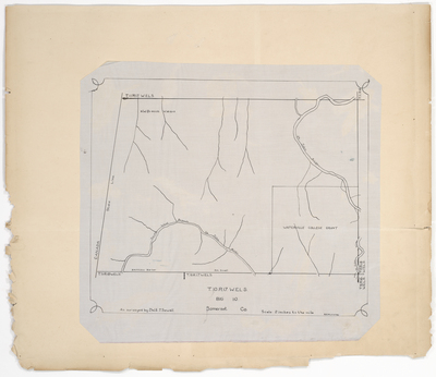
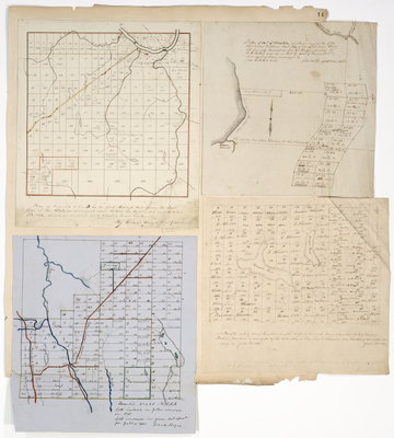
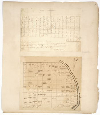
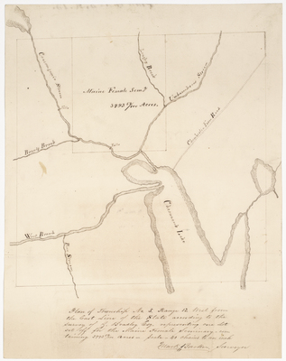
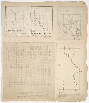
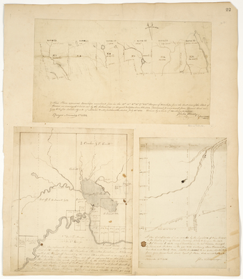
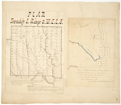
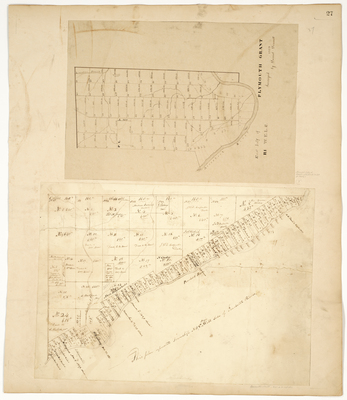
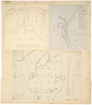
; Plan of Township 13 Range 4 (Wade); Plan of Township 1 Range 6 by John Webber and Thomas Sawyer")

