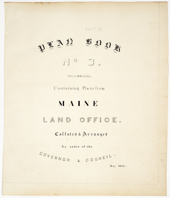
Home > StateDocs > sos > ARCHIVES > ARC_IMG > ARC_LAND_OFFICE > PLANBOOK_MAPS > PLANBOOK_3
Follow
Advanced Search


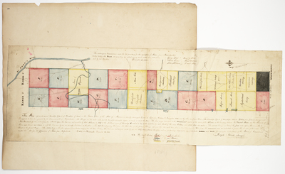
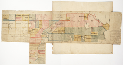
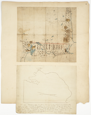
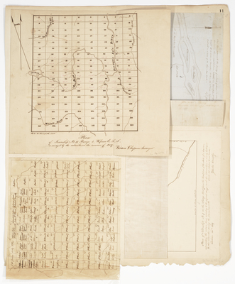
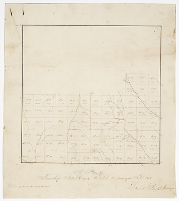
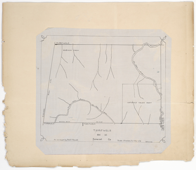
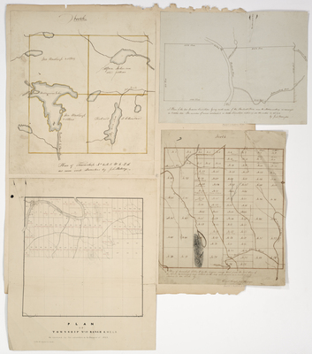
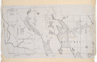
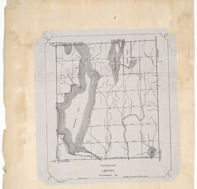
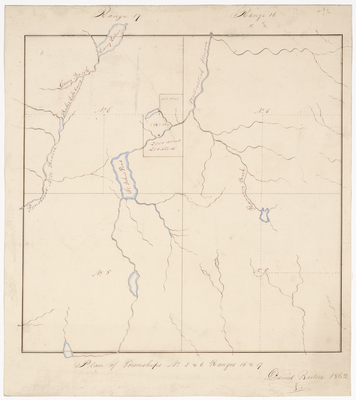
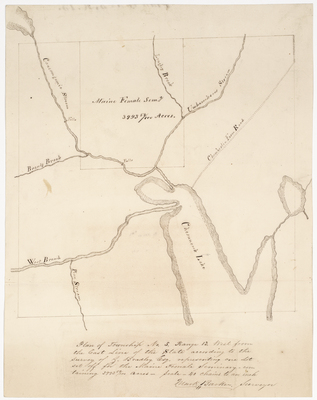
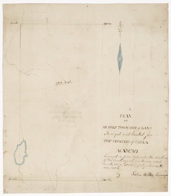
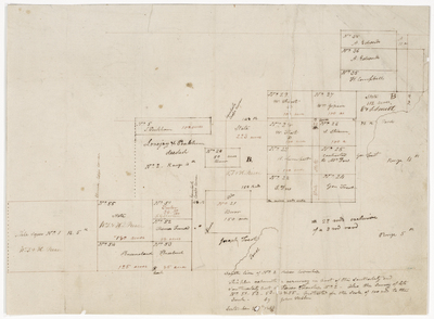
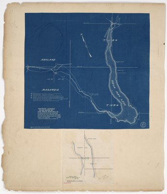
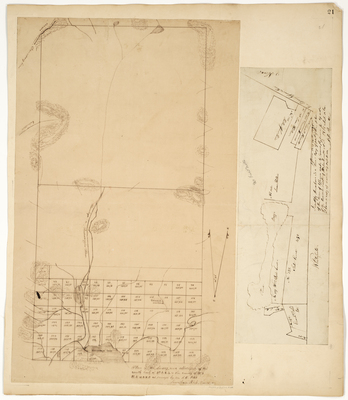
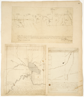
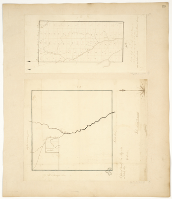
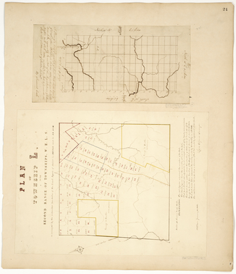
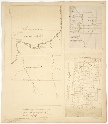
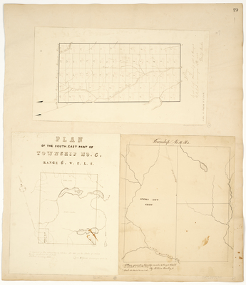
 in Somerset County by J. W. Sewall")


