

Preview
Document Type
StillImage
Contributing Institution
Maine State Archives
Identifier
208370
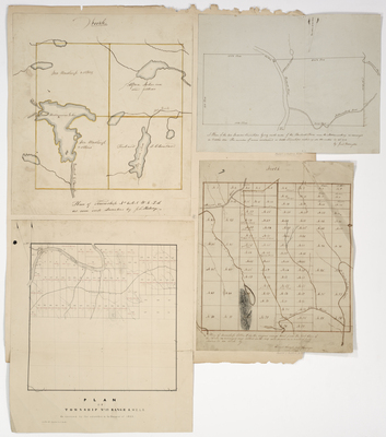
Description
Plan of Township No. 6 Range 8 WELS
Plan of Township No. 12 Range 4 WELS
Plan of Township Letter E Range 2 WELS
Plan of the two Indian Townships lying each side of the Penobscot River near the Mattawamkeag
Broad Creation Date
1826-1855
Language
English
Keywords
Cartography; Maps; Maine Land Office; Planbooks; Surveys