Home > StateDocs > sos > ARCHIVES > ARC_IMG > ARC_LAND_OFFICE > PLANBOOK_MAPS > PLANBOOK_3
Follow
Advanced Search


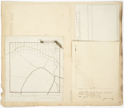
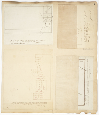
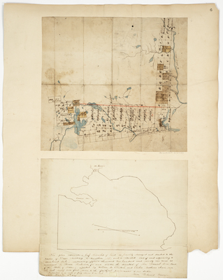
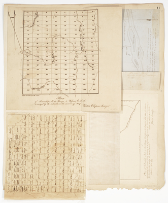
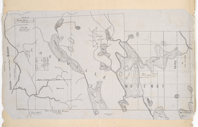
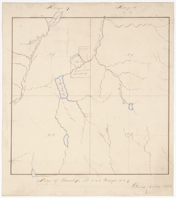
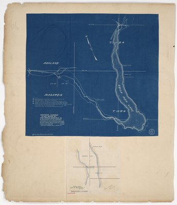
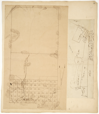
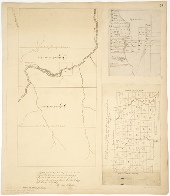
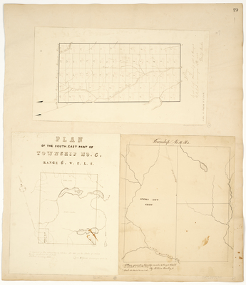
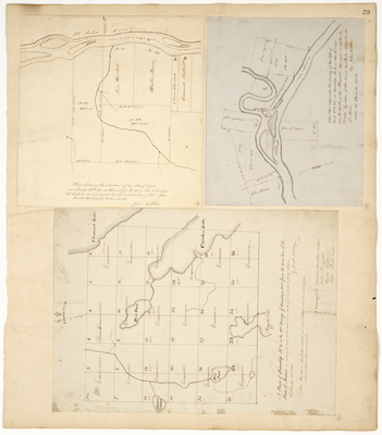
![Page 31. This plan represents the side lines of No. 2 Old Indian Purchase on the east side of Penobscot as the same was surveyed by order of Salem Town Esq. in the year 1797 and the Survey of the river and the lots [?] thereon in the year 1818 by James Irish Esq. by Lothrop Lewis](https://digitalmaine.com/planbook_3/1043/thumbnail.jpg "Page 31. This plan represents the side lines of No. 2 Old Indian Purchase on the east side of Penobscot as the same was surveyed by order of Salem Town Esq. in the year 1797 and the Survey of the river and the lots [?] thereon in the year 1818 by James Irish Esq. by Lothrop Lewis")
