

Preview
Document Type
StillImage
Contributing Institution
Maine State Archives
Identifier
208370
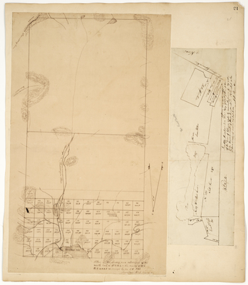
Description
Plan of the survey and allotment of the south half of Township 3, Ranges 4 and 5 NBKP, 1860
Plan of the town of Jefferson, 1816
Language
English
Location
Lincoln County; Jefferson; Whitefield; Franklin County; Seven Ponds Twp; Stetsontown Twp
Other Location
Kennebago Lake; Androscoggin River
Keywords
Cartography; Maps; Maine Land Office; Planbooks; Surveys