Home > StateDocs > sos > ARCHIVES > ARC_IMG > ARC_MAPS > PLANBOOK_MAPS > PLANBOOK_14
Follow
Advanced Search


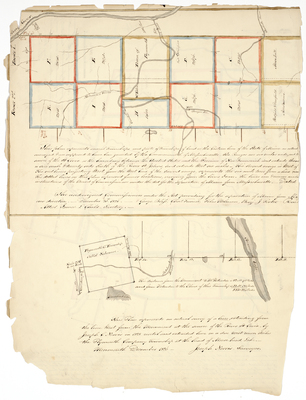
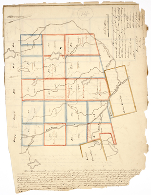
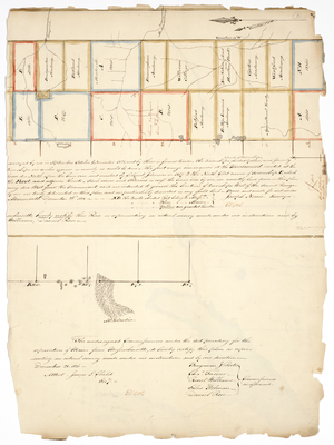
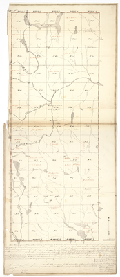
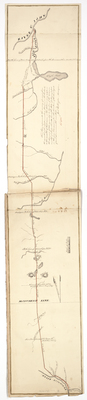
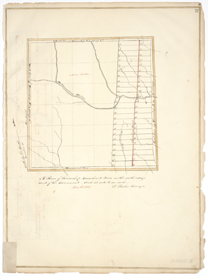
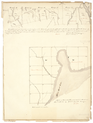
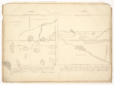
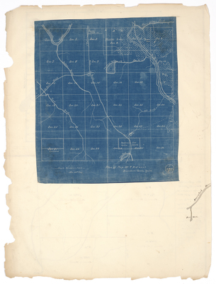
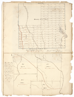
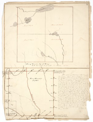
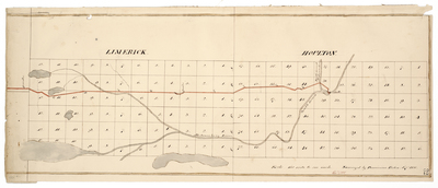
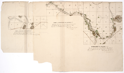
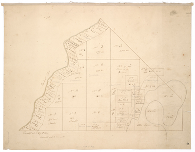
 and Township 3 Range 12 (Piscataquis County) by Edwin Rose and Joseph Kelsey")


